Coed Dolbebin

Wood, Forest in Merionethshire

Wales

Coed Dolbebin

Pont Crafnant Mill
Pont Crafnant Mill Credit: Chris Andrews

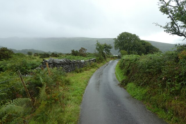
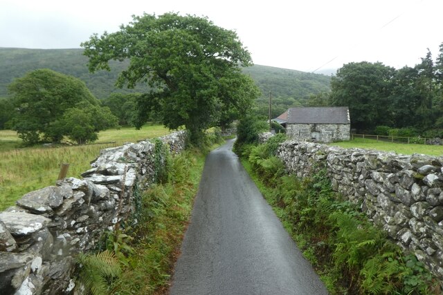
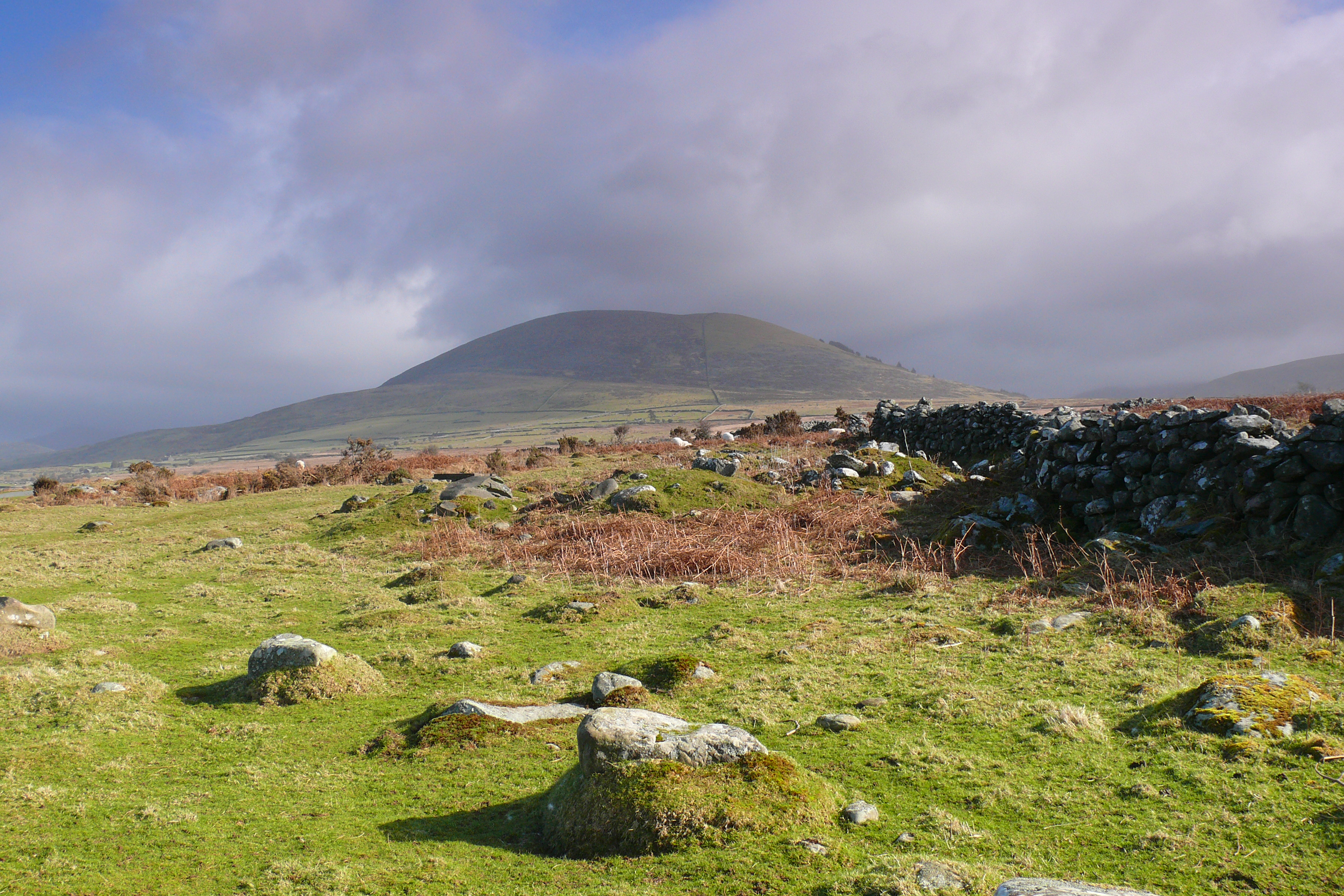
Coed Dolbebin is a picturesque woodland located in the county of Merionethshire, Wales. Situated amidst the scenic beauty of Snowdonia National Park, this enchanting forest is spread across a sprawling area. The name "Dolbebin" is derived from the Welsh language, meaning "wooded, hilly place," which aptly captures the essence of this remarkable location.

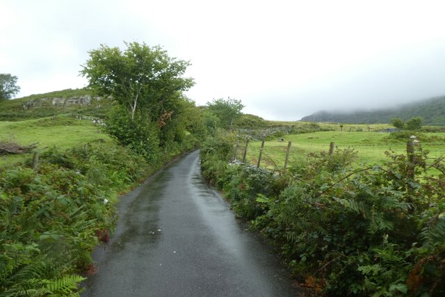
The woodland is teeming with diverse flora and fauna, making it a haven for nature enthusiasts and wildlife lovers. Strolling along the well-maintained trails, visitors can immerse themselves in the tranquility of the forest as they encounter a rich variety of trees, including oak, ash, beech, and birch. The forest floor is adorned with a tapestry of wildflowers and ferns, creating a truly magical atmosphere.

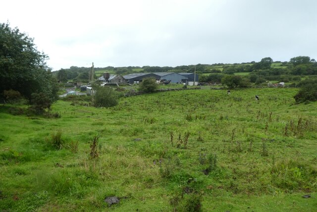
Coed Dolbebin offers a range of activities for outdoor enthusiasts. Hiking and walking trails are available, catering to all levels of fitness and expertise. The well-marked paths guide visitors through the enchanting woodland, revealing breathtaking views of the surrounding mountains and valleys. Birdwatching is also a popular pastime here, with numerous species of birds, including the elusive red kite, soaring through the skies.

For those seeking tranquility and a connection with nature, Coed Dolbebin provides an idyllic setting. The serene ambiance, combined with the exquisite beauty of the forest, offers a perfect escape from the hustle and bustle of everyday life. Whether it's a leisurely walk, an exploration of the diverse wildlife, or simply basking in the serenity of nature, Coed Dolbebin promises a truly unforgettable experience for all who visit.

If you have any feedback on the listing, please let us know in the comments section below.

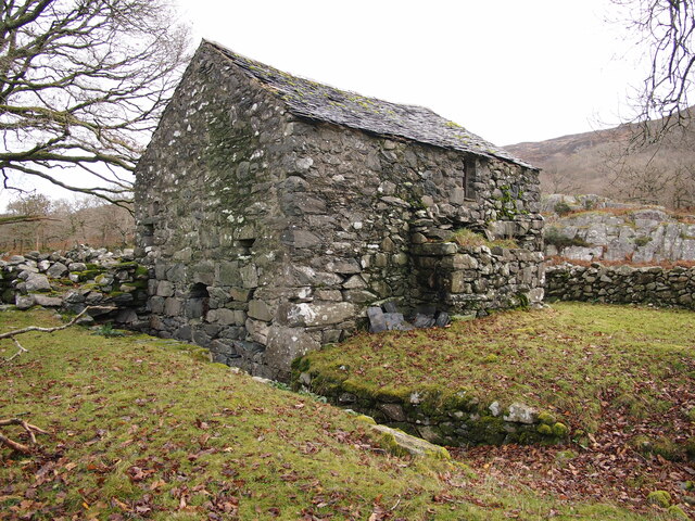
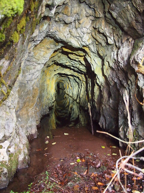
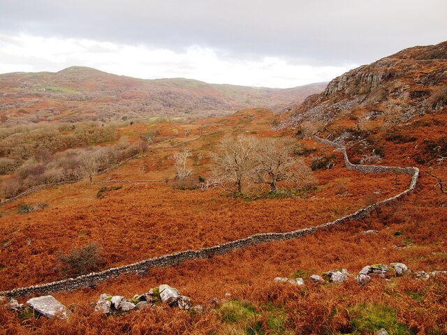
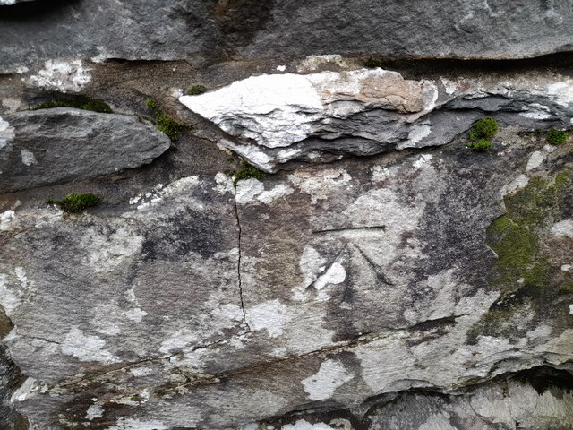
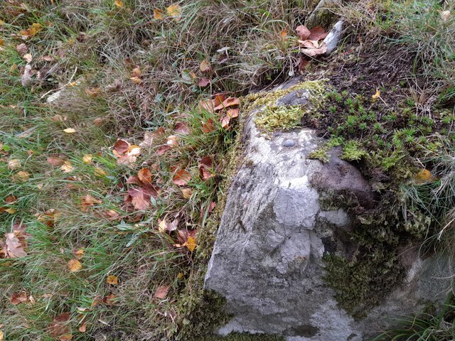
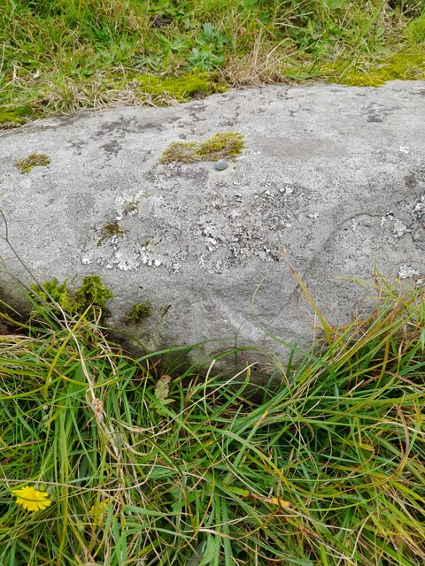
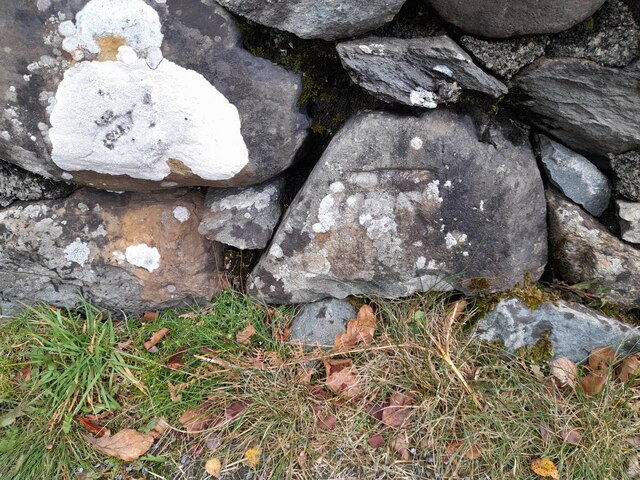
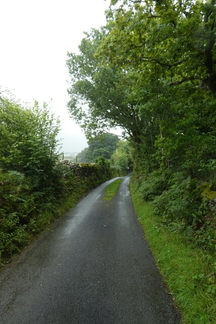
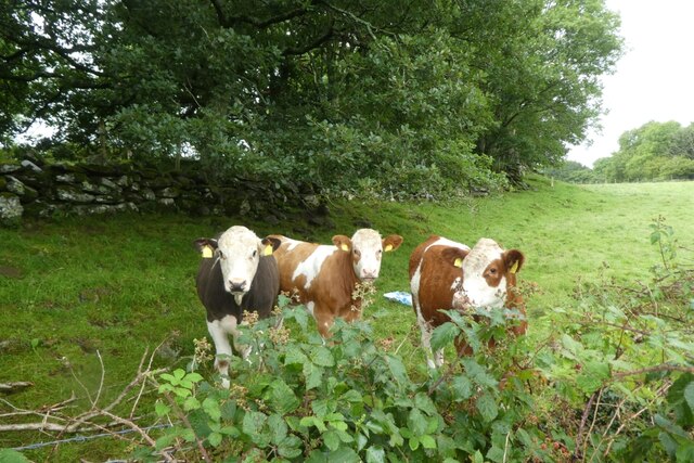
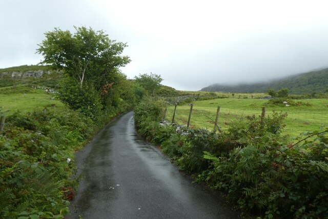
Coed Dolbebin Images

Images are sourced within 2km of 52.833518/-4.0579747 or Grid Reference SH6128. Thanks to Geograph Open Source API. All images are credited.

Pont Crafnant Mill
Pont Crafnant Mill
Crafnant Copper Mine
Below Carreg Fawr
Below Carreg Fawr
Ordnance Survey Cut Mark This OS cut mark can be found on the SW angle of the Salem Chapel. It marks a point 56.172m above mean sea level.
Ordnance Survey Cut Mark
This OS cut mark can be found on the SW angle of the Salem Chapel. It marks a point 56.172m above mean sea level.
Ordnance Survey Rivet This OS rivet can be found on a stone north side of the road. It marks a point 87.578m above mean sea level.
Ordnance Survey Rivet
This OS rivet can be found on a stone north side of the road. It marks a point 87.578m above mean sea level.
Ordnance Survey Rivet This OS rivet can be found on a stone SE side of the road. It marks a point 97.752m above mean sea level.
Ordnance Survey Rivet
This OS rivet can be found on a stone SE side of the road. It marks a point 97.752m above mean sea level.
Ordnance Survey Cut Mark This OS cut mark can be found on the east parapet of Pont Cwmnantcol. It marks a point 135.145m above mean sea level.
Ordnance Survey Cut Mark
This OS cut mark can be found on the east parapet of Pont Cwmnantcol. It marks a point 135.145m above mean sea level.
Ordnance Survey Cut Mark This OS cut mark can be found on the stone at the wall junction. It marks a point 145.207m above mean sea level.
Ordnance Survey Cut Mark
This OS cut mark can be found on the stone at the wall junction. It marks a point 145.207m above mean sea level.
Road descending from Rhiwgoch The road between the crossroads at Rhiwgoch and the Afon Artro.
Road descending from Rhiwgoch
The road between the crossroads at Rhiwgoch and the Afon Artro.
Road on a wet day The road between the Afon Artro and Rhiwgoch.
Road on a wet day
The road between the Afon Artro and Rhiwgoch.
Road near Hafod y llyn Looking down the road from Rhiwgoch as the rain falls.
Road near Hafod y llyn
Looking down the road from Rhiwgoch as the rain falls.
Road descending from Rhiwgoch The road leads down to the Afon Artro.
Road descending from Rhiwgoch
The road leads down to the Afon Artro.
Road in the rain The road between the crossroads at Rhiwgoch and the Afon Artro.
Road in the rain
The road between the crossroads at Rhiwgoch and the Afon Artro.
Towards Llwyn lthel Viewed from the road between the crossroads at Rhiwgoch and the Afon Artro.
Towards Llwyn lthel
Viewed from the road between the crossroads at Rhiwgoch and the Afon Artro.
Lane near Werngron The road between the crossroads at Rhiwgoch and the Afon Artro.
Lane near Werngron
The road between the crossroads at Rhiwgoch and the Afon Artro.
Road to Cwm Bychan The road to Cwm Bychan from Llanbedr seen in the rain.
Road to Cwm Bychan
The road to Cwm Bychan from Llanbedr seen in the rain.
Cattle in a field Cattle along the road to Cwm Bychan.
Cattle in a field
Cattle along the road to Cwm Bychan.
Road to Cwm Bychan in the rain The road to Cwm Bychan from Llanbedr seen in the rain.
Road to Cwm Bychan in the rain
The road to Cwm Bychan from Llanbedr seen in the rain.
Show me another place!

Coed Dolbebin is located at Grid Ref: SH6128 (Lat: 52.833518, Lng: -4.0579747)

Unitary Authority: Gwynedd

Police Authority: North Wales

What 3 Words

///radiated.distanced.purest. Near Llanbedr, Gwynedd

Related Wikis

Capel Salem, Llanbedr

Capel Salem is a Grade II listed building in the hamlet of Pentre Gwynfryn, near Llanbedr, Gwynedd, Wales. This Baptist chapel building is located about...

Afon Cwmnantcol

The River Cwmnantcol (Afon Cwmnantcol in Welsh) is a river in North Wales. It is about 3 miles (5 kilometres) long and has its source at the head of Cwm...
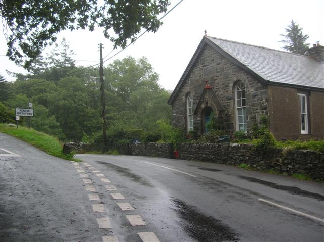
Pentre Gwynfryn

Pentre Gwynfryn is a village in the Ardudwy area of Gwynedd, Wales about 1 mile (1.6 km) east of Llanbedr and the community of the same name. The village...

Cwm Nantcol

Cwm Nantcol is a valley in the Ardudwy area of the county of Gwynedd in Wales. It lies in the Rhinogydd range of mountains in Snowdonia and carries the...
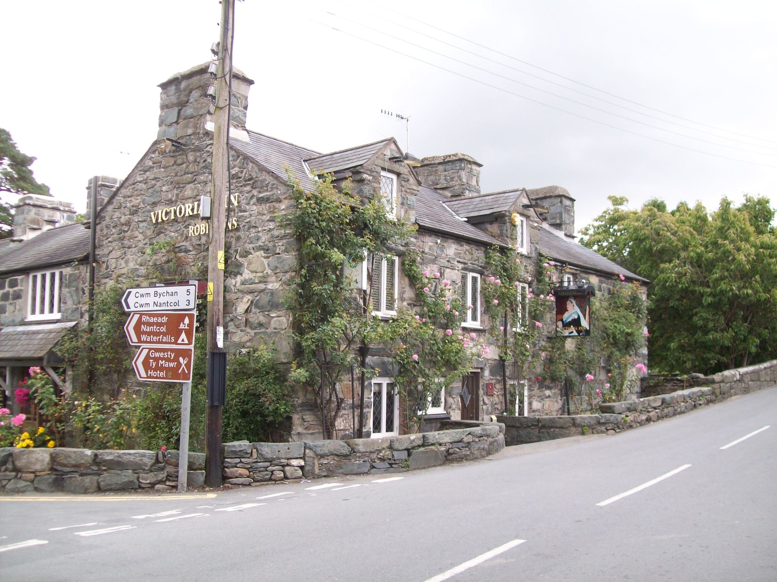
Llanbedr

Llanbedr () is a village and community 2.8 miles (4.5 km) south of Harlech. Administratively, it lies in the Ardudwy area, formerly Meirionnydd, of the...

Pensarn railway station

Pensarn railway station serves the village of Pensarn in Gwynedd, Wales. The station is an unstaffed halt on the Cambrian Coast Railway with passenger...

Pensarn, Gwynedd

Pensarn (or Pen-sarn) is a small village in the Ardudwy area of Gwynedd, Wales. It is situated on the coastal road between Llanbedr and Harlech. There...

Ardudwy

Ardudwy is an area of Gwynedd in north-west Wales, lying between Tremadog Bay and the Rhinogydd. Administratively, under the old Kingdom of Gwynedd, it...

Nearby Amenities

Located within 500m of 52.833518,-4.0579747
Hut Circle
Archaeological Site: hut_circle
Historic: archaeological_site
Historic Civilization: bronze-age
Lat/Long: 52.8312555/-4.0515828
Man Made: adit
Lat/Long: 52.8328169/-4.051075
Man Made: adit
Lat/Long: 52.8327759/-4.0511034
Hut Circles
Archaeological Site: hut_circle
Historic: archaeological_site
Lat/Long: 52.8319588/-4.0524468
Man Made: adit
Lat/Long: 52.8344303/-4.0510901
Man Made: adit
Lat/Long: 52.8344635/-4.0510127
Man Made: adit
Lat/Long: 52.8318725/-4.0520869
Man Made: adit
Lat/Long: 52.8318458/-4.0521074
Barrier: stile
Lat/Long: 52.8306791/-4.0532785
The data included in this document is from www.openstreetmap.org. The data is made available under ODbL.

Have you been to Coed Dolbebin?

Leave your review of Coed Dolbebin below (or comments, questions and feedback).