Allt Olmarch

Wood, Forest in Cardiganshire

Wales

Allt Olmarch

Ordnance Survey Cut Mark This OS cut mark can be found on the churn stand east side of the road. It marks a point 141.877m above mean sea level. <a title="https://www.geograph.org.uk/photo/7412328" href="https://www.geograph.org.uk/photo/7412328">Link</a>
Ordnance Survey Cut Mark Credit: Adrian Dust

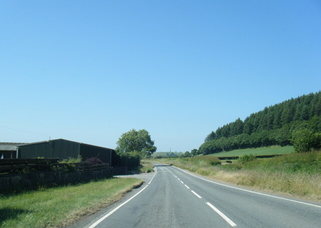
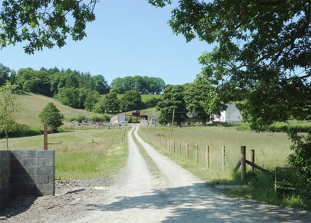
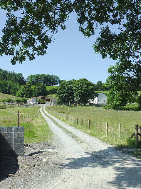
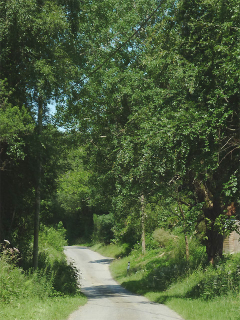
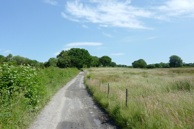
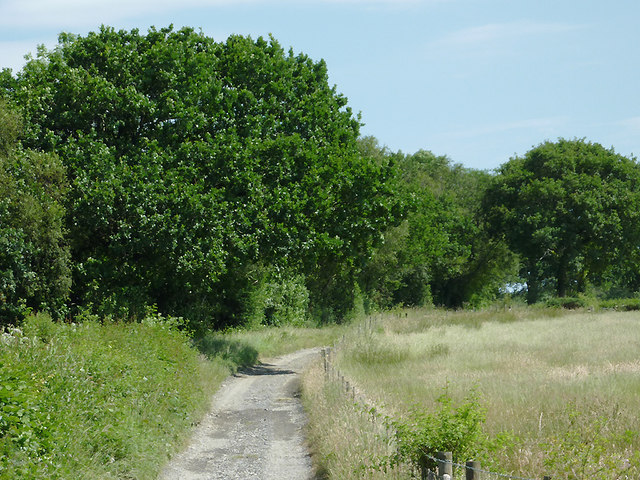
Allt Olmarch is a picturesque wood located in Cardiganshire, Wales. Covering an area of approximately 200 acres, this enchanting forest offers a rich and diverse natural environment for visitors to explore. The wood is situated on a gently sloping hillside, providing captivating views of the surrounding countryside.

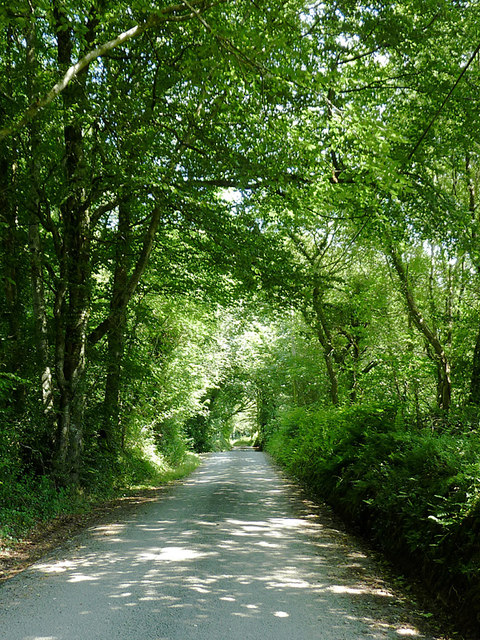
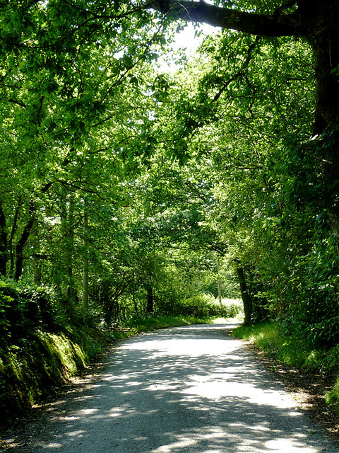
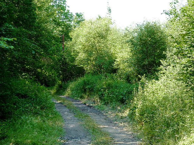
The woodland is predominantly composed of native tree species, including oak, ash, and birch, which create a dense canopy overhead. The forest floor is adorned with a carpet of wildflowers, mosses, and ferns, adding to the area's beauty and tranquility. Several small streams meander through the woods, adding to the serenity of the surroundings.

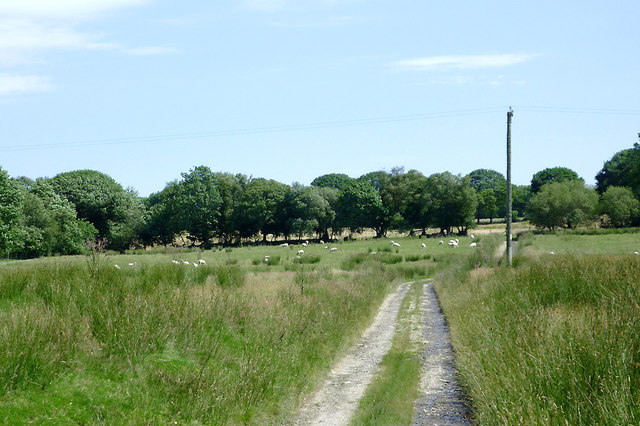
Allt Olmarch is home to a wide variety of wildlife, making it a haven for nature enthusiasts. Visitors may be lucky enough to spot red squirrels, foxes, and a range of bird species, including woodpeckers and owls. The wood also supports a thriving population of butterflies and other insects, further adding to its biodiversity.

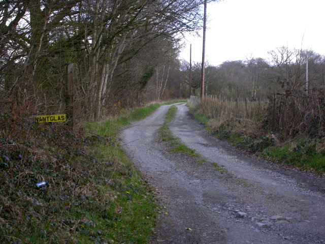
The wood offers a range of walking trails, allowing visitors to explore its many delights. These trails vary in difficulty, catering to both casual strollers and more experienced hikers. Along the way, informative signposts provide interesting facts about the woodland's flora and fauna, enriching the visitor's experience.

Allt Olmarch is a cherished natural gem in Cardiganshire, offering a peaceful retreat from the hustle and bustle of everyday life. Whether you are seeking a leisurely stroll, a wildlife-spotting adventure, or simply a place to connect with nature, this wood has something to offer everyone.

If you have any feedback on the listing, please let us know in the comments section below.
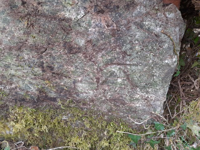
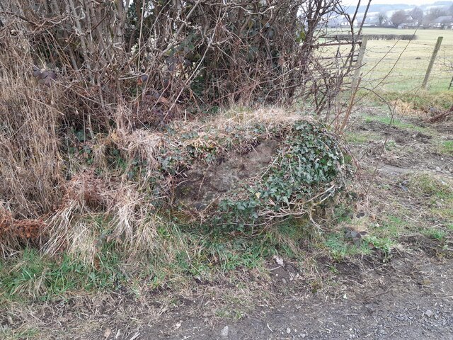
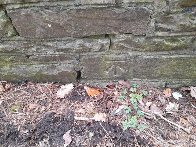
Allt Olmarch Images

Images are sourced within 2km of 52.169727/-4.0273245 or Grid Reference SN6154. Thanks to Geograph Open Source API. All images are credited.

Ordnance Survey Cut Mark This OS cut mark can be found on the churn stand east side of the road. It marks a point 141.877m above mean sea level. <a title="https://www.geograph.org.uk/photo/7412328" href="https://www.geograph.org.uk/photo/7412328">Link</a>
Ordnance Survey Cut Mark
This OS cut mark can be found on the churn stand east side of the road. It marks a point 141.877m above mean sea level. Link
Churn Stand There is an Ordnance Survey cut mark on the front of the stand. <a title="https://www.geograph.org.uk/photo/7412325" href="https://www.geograph.org.uk/photo/7412325">Link</a>
Churn Stand
There is an Ordnance Survey cut mark on the front of the stand. Link
Ordnance Survey Cut Mark This OS cut mark can be found on the SE parapet of the bridge. It marks a point 158.051m above mean sea level.
Ordnance Survey Cut Mark
This OS cut mark can be found on the SE parapet of the bridge. It marks a point 158.051m above mean sea level.
Ordnance Survey Cut Mark This OS cut mark can be found on the house NW side of the road. It marks a point 159.758m above mean sea level.
Ordnance Survey Cut Mark
This OS cut mark can be found on the house NW side of the road. It marks a point 159.758m above mean sea level.
A485 at Olmarch hamlet
A485 at Olmarch Isaf
A485 at Llangybi village boundary
Lane to Nantglas farm
Farm road north-west  of Llangybi, Ceredigion The unsurfaced road leads to the farm at Wern-fach.
Farm road north-west of Llangybi, Ceredigion
The unsurfaced road leads to the farm at Wern-fach.
Farm road north-west  of Llangybi, Ceredigion The unsurfaced road leads to the farm at Wern-fach.
Farm road north-west of Llangybi, Ceredigion
The unsurfaced road leads to the farm at Wern-fach.
The lane to Llwyn-y-groes, Ceredigion This is about a mile from Llangybi. The lane goes to Llwyn-y-groes and Gartheli.
The lane to Llwyn-y-groes, Ceredigion
This is about a mile from Llangybi. The lane goes to Llwyn-y-groes and Gartheli.
The lane to Llangybi, Ceredigion The lane from Gartheli and Llwyn-y-groes has crossed Llangybi Common and is about a mile from Llangybi village.
The lane to Llangybi, Ceredigion
The lane from Gartheli and Llwyn-y-groes has crossed Llangybi Common and is about a mile from Llangybi village.
Farm track north-west of Llangybi, Ceredigion This track leads to the farm at Waungoy,
Farm track north-west of Llangybi, Ceredigion
This track leads to the farm at Waungoy,
Lane to Llwyn-y-groes, Ceredigion This is the lane from Llangybi crossing Llangybi Common on is way to Llwyn-y-groes and Gartheli.
Lane to Llwyn-y-groes, Ceredigion
This is the lane from Llangybi crossing Llangybi Common on is way to Llwyn-y-groes and Gartheli.
Farm road on Llangybi Common, Ceredigion This is the way to the farm at Penybryn.
Farm road on Llangybi Common, Ceredigion
This is the way to the farm at Penybryn.
Farm road on Llangybi Common, Ceredigion This is the way to the farm at Penybryn.
Farm road on Llangybi Common, Ceredigion
This is the way to the farm at Penybryn.
Farmland south of Llwyn-y-groes, Ceredigion East of Llangybi Common. The track leads to the farm at Gelli-fach.
Farmland south of Llwyn-y-groes, Ceredigion
East of Llangybi Common. The track leads to the farm at Gelli-fach.
Ordnance Survey Flush Bracket S0756 This can be found on the wall of a building in Llangybi.
For more detail see : <span class="nowrap"><a title="http://www.bench-marks.org.uk/bm801" rel="nofollow ugc noopener" href="http://www.bench-marks.org.uk/bm801">Link</a><img style="margin-left:2px;" alt="External link" title="External link - shift click to open in new window" src="https://s1.geograph.org.uk/img/external.png" width="10" height="10"/></span>
Ordnance Survey Flush Bracket S0756
This can be found on the wall of a building in Llangybi. For more detail see : LinkExternal link
Show me another place!

Allt Olmarch is located at Grid Ref: SN6154 (Lat: 52.169727, Lng: -4.0273245)

Unitary Authority: Ceredigion

Police Authority: Dyfed Powys

What 3 Words

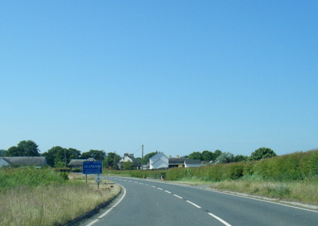
///benched.croutons.rust. Near Llangybi, Ceredigion

Nearby Locations

Allt Olmarch

Related Wikis

Olmarch Halt railway station

Olmarch Halt railway station, previously served the hamlet and rural locale of Olmarch near Llanddewi-Brefi and Pont Llanio on the Carmarthen Aberystwyth...

Llangybi, Ceredigion

Llangybi is a village and parish in the south of Ceredigion, Wales. It is located on the A485 between Tregaron to the north and Lampeter to the south,...

Olmarch

Olmarch is a hamlet in the community of Llangybi, Ceredigion, Wales, which is 59.9 miles (96.4 km) from Cardiff and 172.1 miles (277 km) from London. Olmarch...

Caeau Llety-cybi

Caeau Llety-cybi is a Site of Special Scientific Interest in Ceredigion, west Wales. The lowland meadow site is managed by the Wildlife Trust of South...

Llangybi railway station (Ceredigion)

Llangybi railway station, previously served the village and rural locale of Llangybi on the Carmarthen Aberystwyth Line in the Welsh county of Ceredigion...

Cockshead

Cockshead is a small village in the community of Llanddewi Brefi, Ceredigion, Wales, which is 59.9 miles (96.3 km) from Cardiff and 171.9 miles (276.5...

Gogoyan

Gogoyan is a hamlet in the community of Llanddewibrefi, Ceredigion, Wales, which is 58.9 miles (94.8 km) from Cardiff and 171.1 miles (275.3 km) from...

Derry Ormond

Derry Ormond is a farm and a small village in the community of Llangybi, Ceredigion, Wales, which is 60.1 miles (96.7 km) from Cardiff and 173.8 miles...

Nearby Amenities

Located within 500m of 52.169727,-4.0273245
Place: farm
Lat/Long: 52.1685356/-4.020982
The data included in this document is from www.openstreetmap.org. The data is made available under ODbL.

Have you been to Allt Olmarch?

Leave your review of Allt Olmarch below (or comments, questions and feedback).