Coed Crafnant
Wood, Forest in Merionethshire
Wales
Coed Crafnant
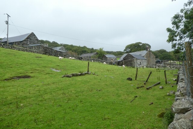
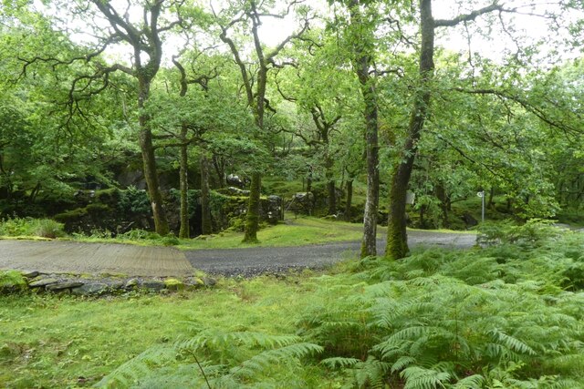
Coed Crafnant, located in Merionethshire, is a picturesque woodland area situated in the heart of Wales. Enveloped by the stunning Snowdonia National Park, this forest is known for its rich biodiversity and captivating natural beauty.
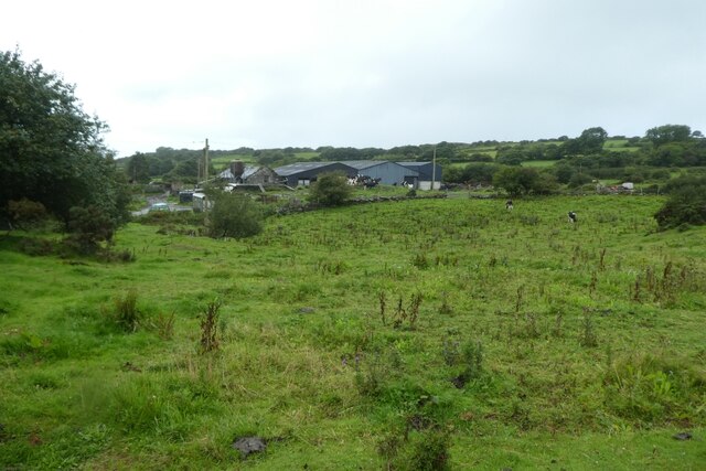
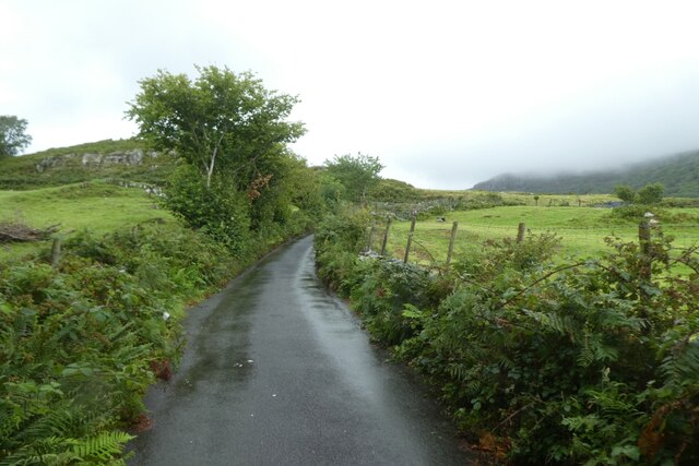
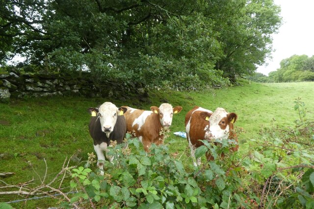
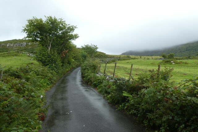
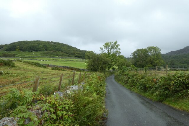
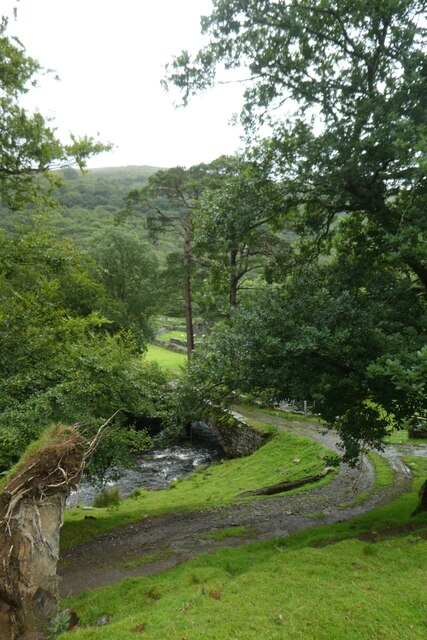
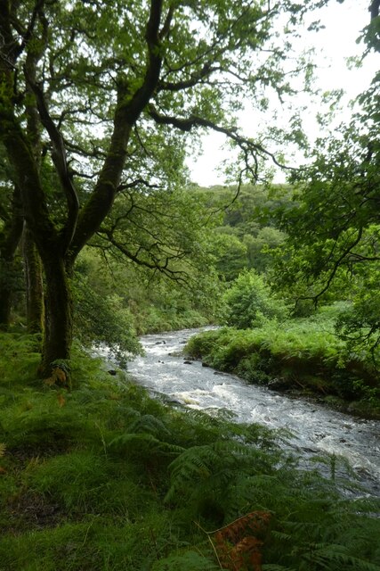
Covering an extensive area, Coed Crafnant is home to a diverse range of flora and fauna. The woodland is predominantly composed of native tree species such as oak, beech, and birch, creating a lush and vibrant habitat for various plant and animal species. Visitors to the forest can expect to encounter a plethora of wildlife including red squirrels, badgers, and a variety of bird species.
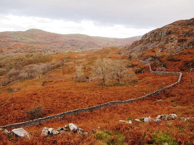
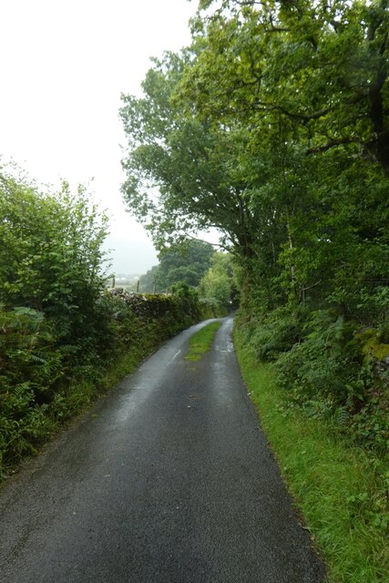
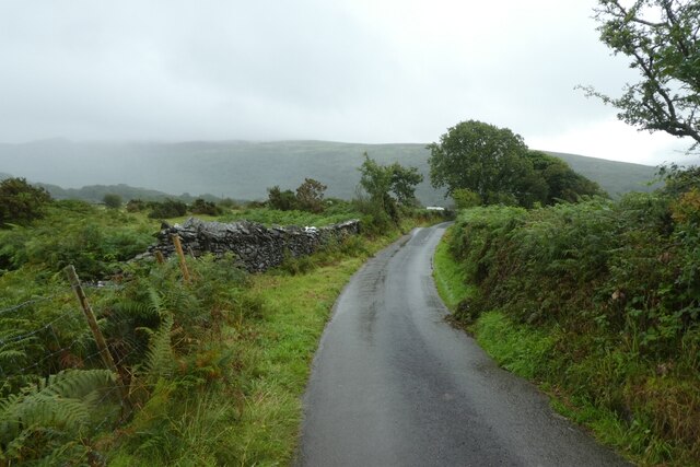
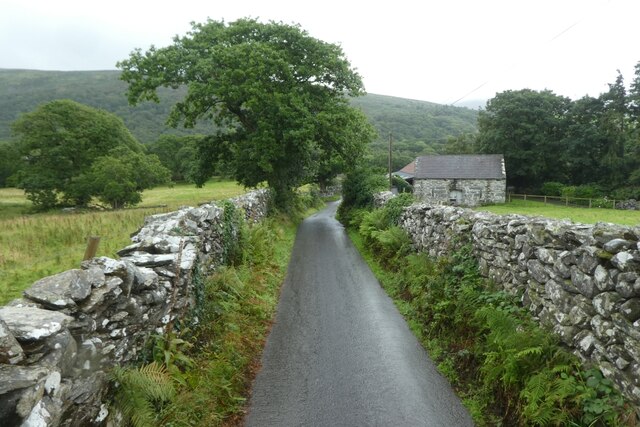
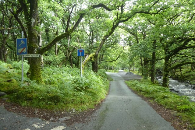
The woodland is crisscrossed with a network of well-maintained trails, offering visitors the opportunity to explore its enchanting surroundings. Hiking through the forest, visitors can marvel at the towering trees, listen to the gentle rustling of leaves, and breathe in the crisp, fresh air. The area is famed for its scenic beauty, particularly during the autumn season when the forest is ablaze with vibrant hues of gold, orange, and red.
Coed Crafnant is not only a haven for nature enthusiasts but also a popular destination for outdoor activities. The forest provides an ideal setting for activities such as walking, cycling, and picnicking. There are designated picnic spots with tables and benches where visitors can relax and enjoy a meal amidst the tranquil surroundings.
Overall, Coed Crafnant in Merionethshire is a captivating woodland that offers a serene escape from the hustle and bustle of everyday life. Whether it's for a leisurely stroll, wildlife spotting, or simply immersing oneself in nature's beauty, this forest provides a truly remarkable experience for visitors of all ages.
If you have any feedback on the listing, please let us know in the comments section below.
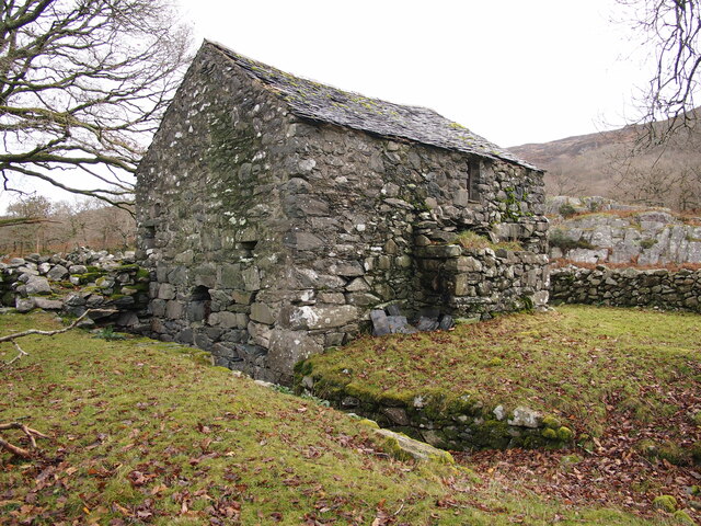
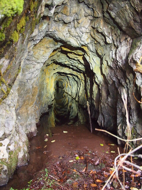
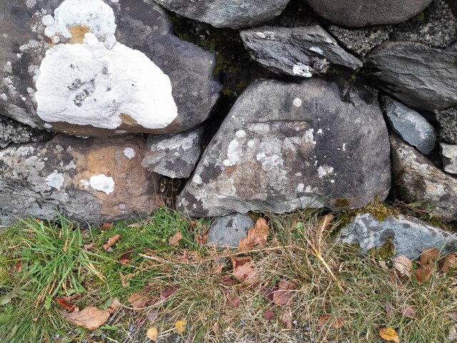
Coed Crafnant Images
Images are sourced within 2km of 52.83801/-4.0503922 or Grid Reference SH6128. Thanks to Geograph Open Source API. All images are credited.

Coed Crafnant is located at Grid Ref: SH6128 (Lat: 52.83801, Lng: -4.0503922)
Unitary Authority: Gwynedd
Police Authority: North Wales
What 3 Words
///cyber.covenants.internal. Near Llanbedr, Gwynedd
Nearby Locations
Related Wikis

Capel Salem, Llanbedr
Capel Salem is a Grade II listed building in the hamlet of Pentre Gwynfryn, near Llanbedr, Gwynedd, Wales. This Baptist chapel building is located about...

Afon Cwmnantcol
The River Cwmnantcol (Afon Cwmnantcol in Welsh) is a river in North Wales. It is about 3 miles (5 kilometres) long and has its source at the head of Cwm...
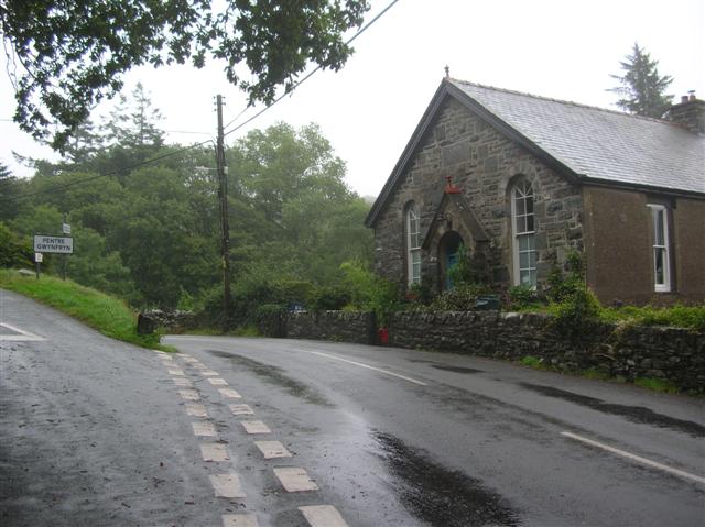
Pentre Gwynfryn
Pentre Gwynfryn is a village in the Ardudwy area of Gwynedd, Wales, about 1 mile (1.6 km) east of Llanbedr. The village is at the confluence of the River...
Cwm Nantcol
Cwm Nantcol is a valley in the Ardudwy area of the county of Gwynedd in Wales. It lies in the Rhinogydd range of mountains in Snowdonia and carries the...

Llyn Cwm Bychan
Llyn Cwm Bychan is a lake in north Wales, and is one of the sources of the River Artro which flows south westwards through Llanbedr and onwards to the...

River Artro
The River Artro (Welsh: Afon Artro) is a river in Gwynedd, Wales. It is about 4.5 miles (7.2 km) long and has its source at Llyn Cwm Bychan below Rhinog...

Rhinog Fawr
Rhinog Fawr is a mountain in Snowdonia, North Wales and forms part of the Rhinogydd range. It is the third highest summit of the Rhinogydd, losing out...
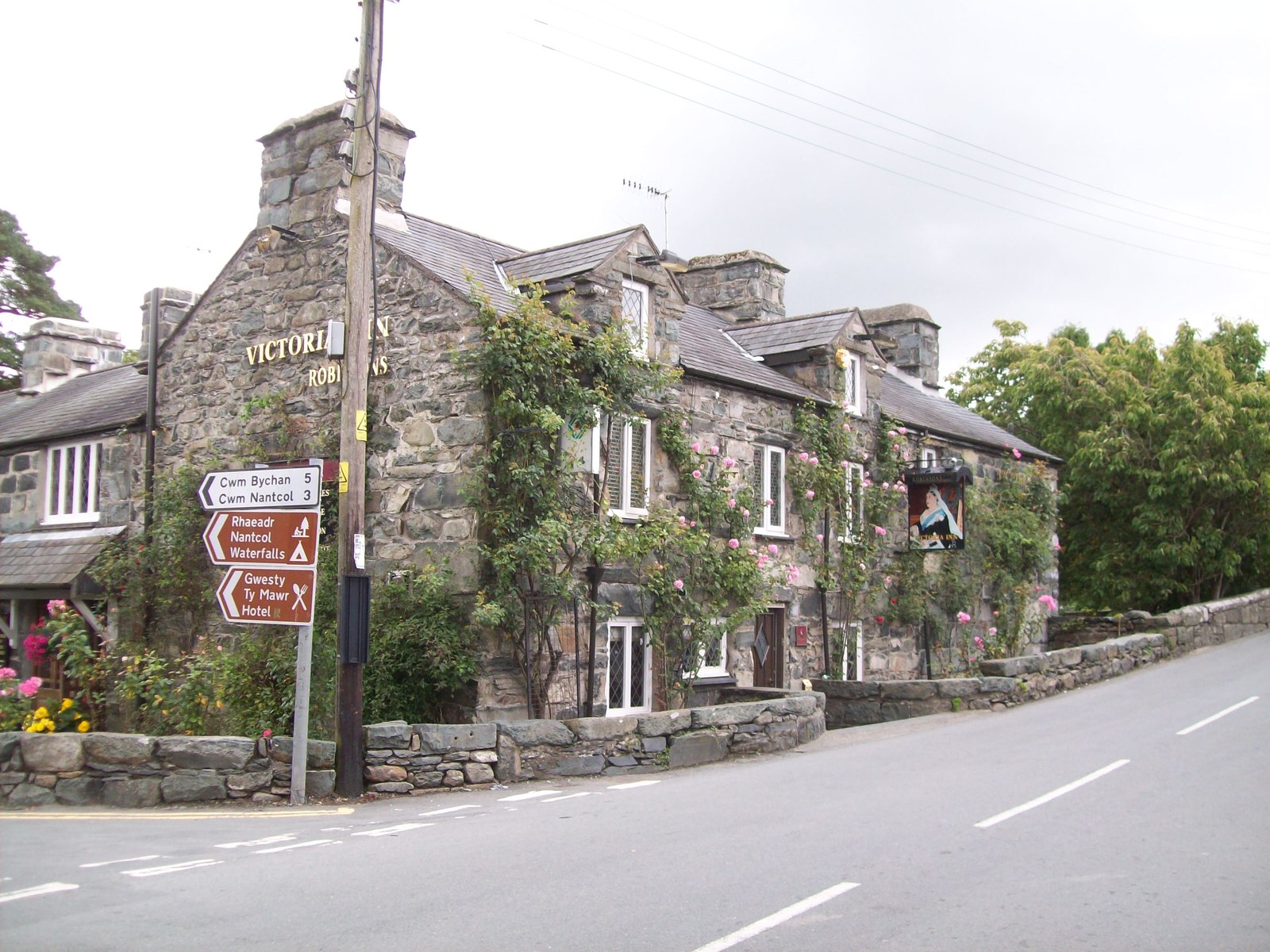
Llanbedr
Llanbedr () is a village and community 2.8 miles (4.5 km) south of Harlech. Administratively, it lies in the Ardudwy area, formerly Meirionnydd, of the...
Nearby Amenities
Located within 500m of 52.83801,-4.0503922Have you been to Coed Crafnant?
Leave your review of Coed Crafnant below (or comments, questions and feedback).