Coedallt
Wood, Forest in Merionethshire
Wales
Coedallt
Coedallt, located in Merionethshire, is a picturesque woodland area renowned for its natural beauty and rich biodiversity. Covering an area of approximately 500 acres, it is one of the largest woodlands in the region. Coedallt, which translates to "Wood" or "Forest" in English, is a significant natural habitat and an important site for conservation.
The woodland is predominantly composed of mixed deciduous trees, including oak, beech, ash, and birch, among others. These mature trees create a dense canopy that provides shelter and food for a wide variety of wildlife species. The forest floor is adorned with an array of wildflowers, ferns, and mosses, adding to the enchanting atmosphere of the area.
Coedallt is home to a diverse range of wildlife, including birds, mammals, and insects. Birdwatchers can spot species such as woodpeckers, owls, and various songbirds flitting among the branches. Foxes, badgers, and deer are among the mammals that inhabit the woodland, while butterflies and bees can be observed busily collecting nectar from the flowers.
The woodland offers numerous walking trails and paths, allowing visitors to immerse themselves in nature and explore its wonders. These trails vary in difficulty, catering to both casual strollers and avid hikers. Along the way, benches and picnic spots are strategically placed to provide rest and appreciation of the stunning views.
Coedallt is not only a haven for wildlife enthusiasts and nature lovers but also serves as a vital carbon sink, contributing to the fight against climate change. Its preservation and conservation efforts ensure that future generations can continue to enjoy its natural splendor.
If you have any feedback on the listing, please let us know in the comments section below.
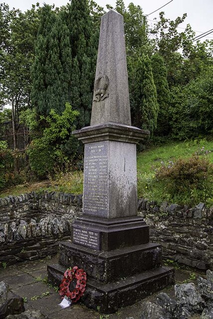
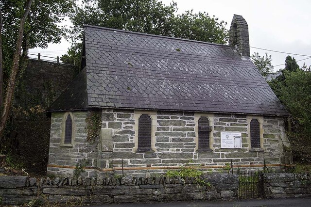
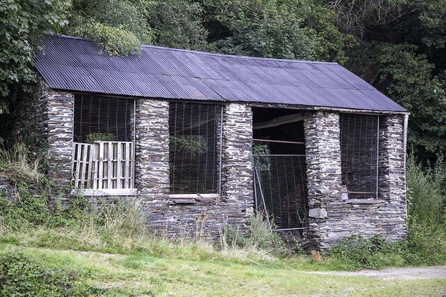
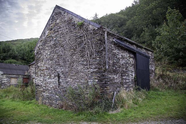
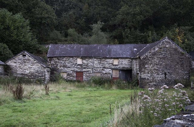
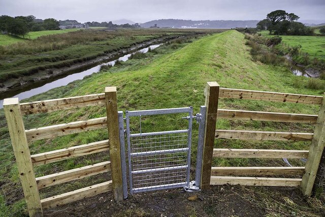
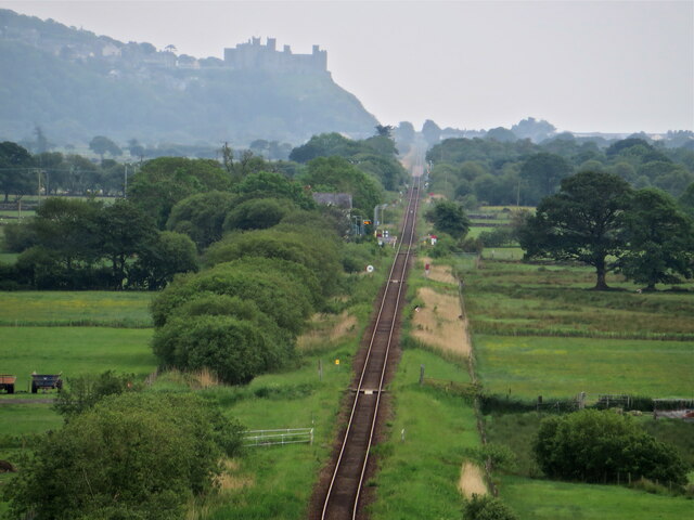
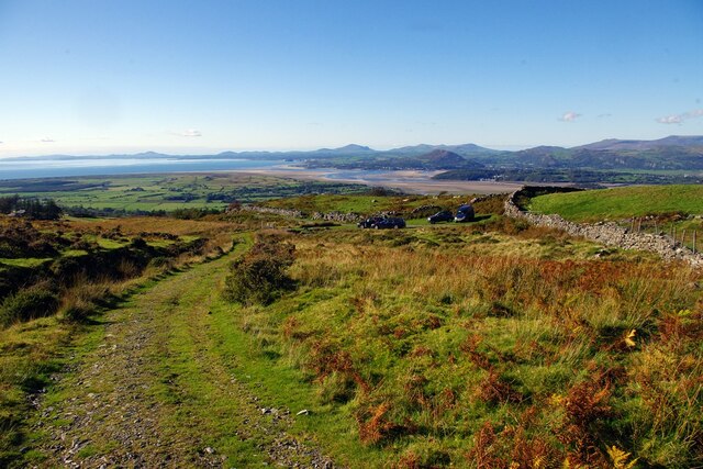
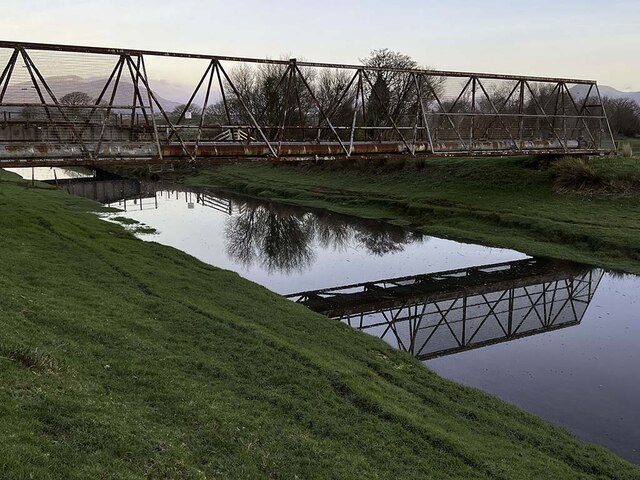
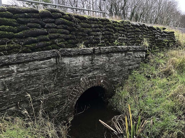
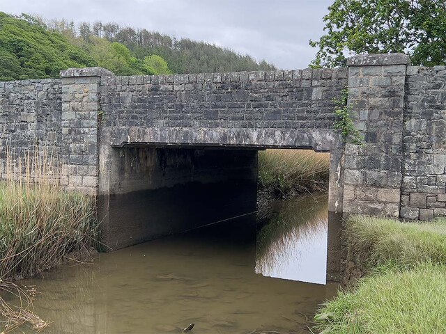
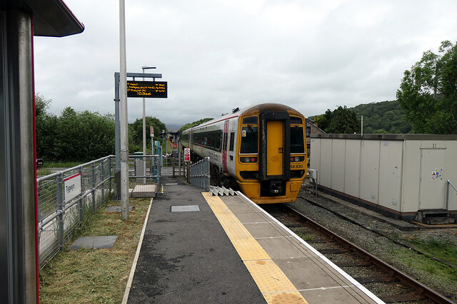
Coedallt Images
Images are sourced within 2km of 52.900232/-4.0537311 or Grid Reference SH6135. Thanks to Geograph Open Source API. All images are credited.


Coedallt is located at Grid Ref: SH6135 (Lat: 52.900232, Lng: -4.0537311)
Unitary Authority: Gwynedd
Police Authority: North Wales
What 3 Words
///reboot.slides.pinging. Near Penrhyndeudraeth, Gwynedd
Nearby Locations
Related Wikis

Soar, Gwynedd
Soar is a small village or hamlet in Gwynedd, Wales. It is located about 4 miles (6.4 km) northeast of Harlech, close to Talsarnau and Llandecwyn. It has...

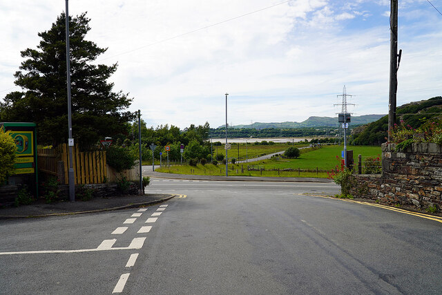
Talsarnau
Talsarnau is a village and community in the Ardudwy area of Gwynedd in Wales. Its population was 525 in 2001, and had increased to 550 at the 2011 Census...
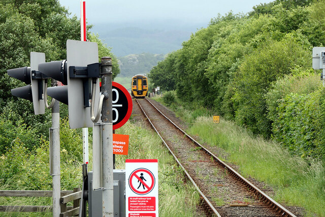
Talsarnau railway station
Talsarnau railway station serves the village of Talsarnau on the estuary of the Afon Dwyryd in Gwynedd, Wales. == Facilities == In early 2015, Talsarnau...
Eisingrug
Eisingrug (meaning: a place where corn was winnowed after husking) is a rural hamlet near Harlech, Gwynedd, Wales. It is located to the southeast of Porthmadog...

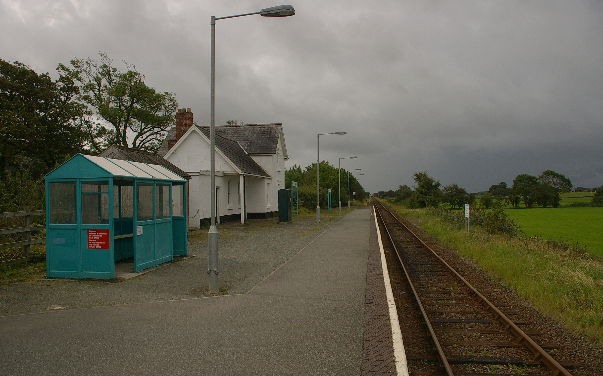
Tygwyn railway station
Tygwyn railway station is located at a level crossing on the A496 between Harlech and Talsarnau near the estuary of the Afon Dwyryd in Gwynedd, Wales....

Llandecwyn railway station
Llandecwyn railway station serves the rural area around Llandecwyn on the estuary of the Afon Dwyryd in Gwynedd, Wales. == History == British Rail requested...

Llandecwyn
Llandecwyn () is a hamlet near Penrhyndeudraeth in Gwynedd, Wales. The bulk of the population (between 40 and 50 houses) is now located around Cilfor close...
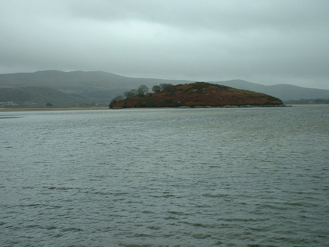
Ynys Gifftan
Ynys Gifftan is an island near the south east shore of Traeth Bach, the Dwyryd estuary near Portmeirion in Gwynedd, north Wales. There is a public footpath...
Nearby Amenities
Located within 500m of 52.900232,-4.0537311Have you been to Coedallt?
Leave your review of Coedallt below (or comments, questions and feedback).