Coed Pen-y-banc

Wood, Forest in Cardiganshire

Wales

Coed Pen-y-banc

Bridge over former railway, near Tynrhelyg This track leads to the river and the site of a ford
Bridge over former railway, near Tynrhelyg Credit: David Smith

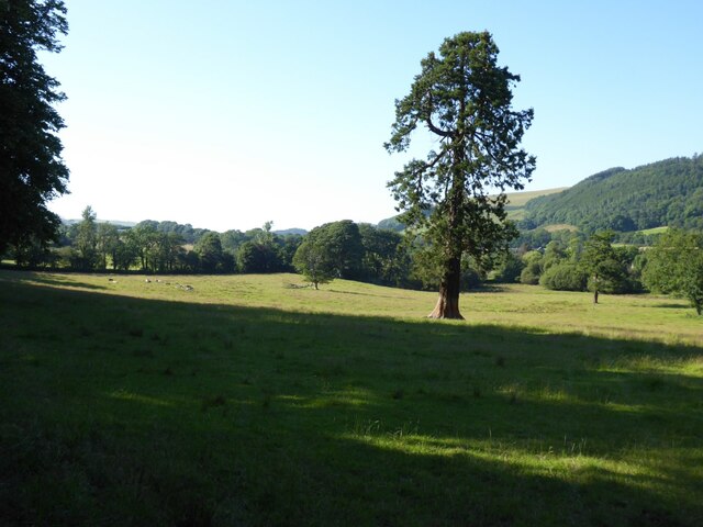
Coed Pen-y-banc is a picturesque woodland located in Cardiganshire, Wales. Spanning an area of approximately 200 acres, this enchanting forest is nestled in the heart of the countryside, surrounded by rolling hills and scenic landscapes. The name "Coed Pen-y-banc" translates to "Wood of the Top of the Hill," which accurately captures its elevated position and commanding views.

The woodland is predominantly composed of native tree species, including oak, beech, and birch, creating a diverse ecosystem that supports a wide array of flora and fauna. The forest floor is adorned with a rich carpet of bluebells and wildflowers during the spring months, adding to the natural beauty of the surroundings.

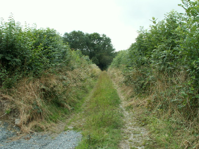
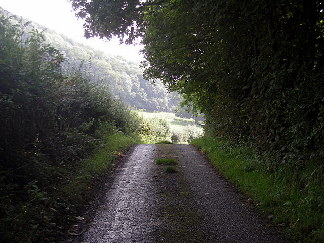
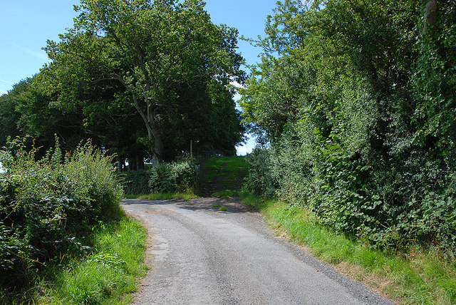
Coed Pen-y-banc is a popular destination for nature enthusiasts and hikers, offering a network of well-maintained trails that wind through the woodland. These trails provide opportunities for visitors to explore the forest at their own pace, immersing themselves in the tranquility of nature. Birdwatchers will delight in the numerous species that inhabit the forest, such as woodpeckers, thrushes, and owls.

In addition to its natural attractions, Coed Pen-y-banc also has historical significance. The remains of an ancient hillfort can be found within its boundaries, dating back to the Iron Age. This archaeological site offers a glimpse into the region's past and adds an element of intrigue to the forest.

Overall, Coed Pen-y-banc is a captivating woodland that showcases the beauty of the Welsh countryside. With its diverse flora and fauna, well-maintained trails, and historical remnants, it offers a delightful experience for visitors seeking solace in nature.

If you have any feedback on the listing, please let us know in the comments section below.

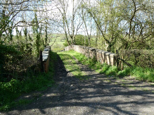
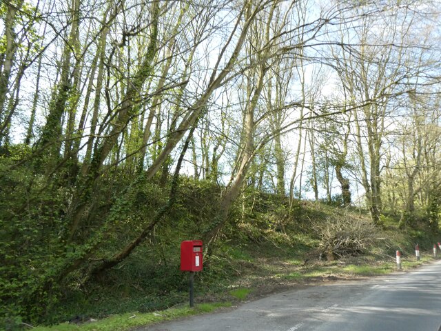
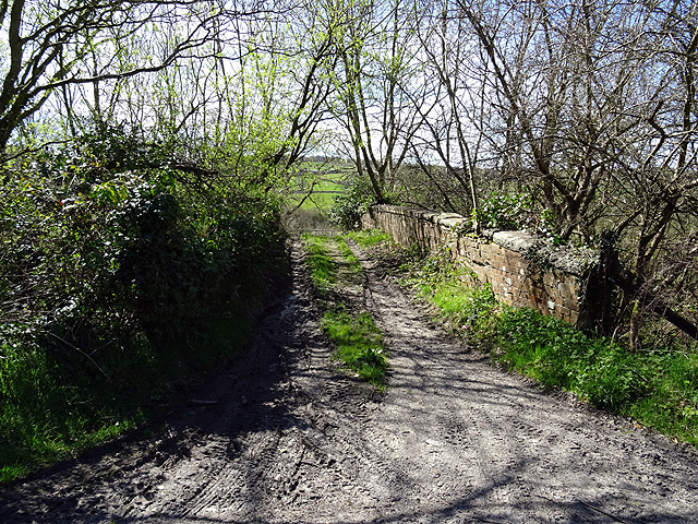
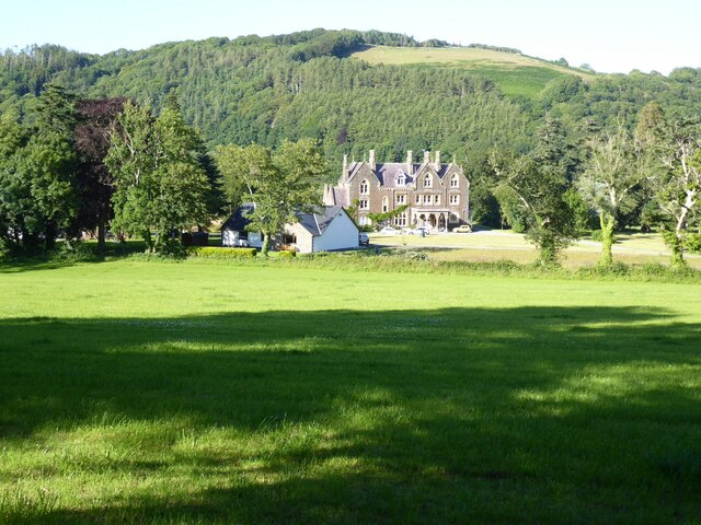
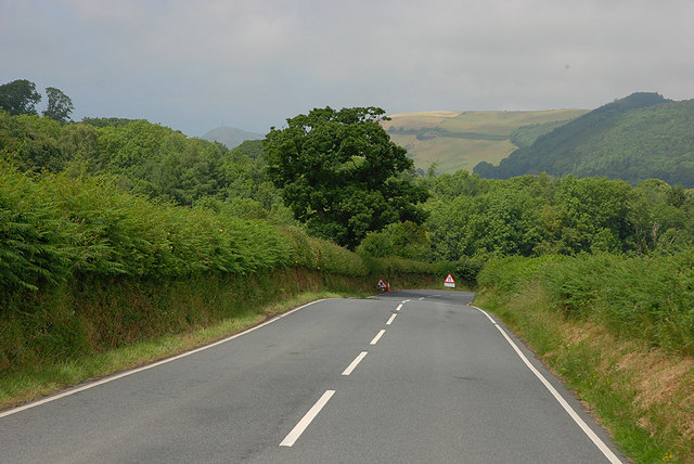
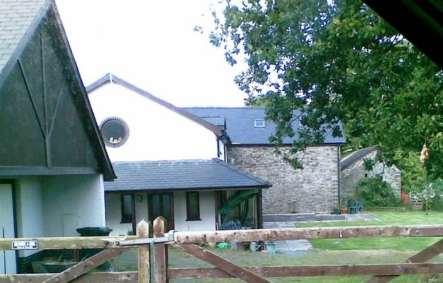
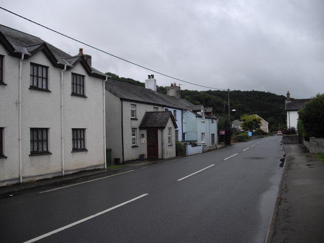
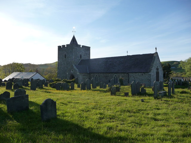
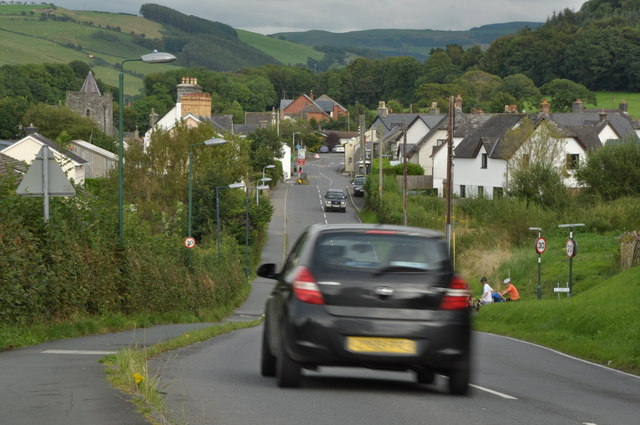
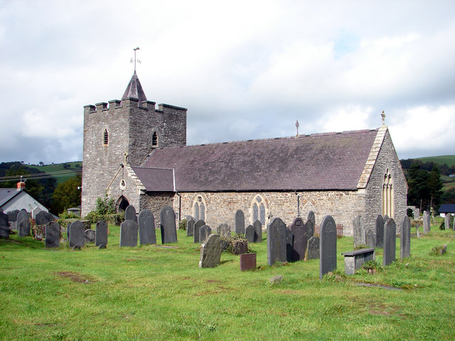
Coed Pen-y-banc Images

Images are sourced within 2km of 52.361567/-4.034497 or Grid Reference SN6175. Thanks to Geograph Open Source API. All images are credited.

Bridge over former railway, near Tynrhelyg This track leads to the river and the site of a ford
Bridge over former railway, near Tynrhelyg
This track leads to the river and the site of a ford
Pull-off for postbox near Glanmad
Old railway overbridge A farm crossing over the trackbed of the long closed Aberystwyth to Carmarthen railway line. The track also forms a right of way but you will need to don your waders to cross Afon Ystwyth a short distance ahead.
Old railway overbridge
A farm crossing over the trackbed of the long closed Aberystwyth to Carmarthen railway line. The track also forms a right of way but you will need to don your waders to cross Afon Ystwyth a short distance ahead.
Abermad House Abermad House is a nursing care home in the Ystwyth valley  For more information see: <a href="https://www.geograph.org.uk/photo/4516251">SN6076 : Abermad House</a>
Abermad House
Abermad House is a nursing care home in the Ystwyth valley For more information see: SN6076 : Abermad House
Parkland in the Ystwyth valley Tree in parkland in Ystwyth valley.
Parkland in the Ystwyth valley
Tree in parkland in Ystwyth valley.
Trackway, Cwm Perlla Old lane with high hedges on either side
Trackway, Cwm Perlla
Old lane with high hedges on either side
Track to Craig-y-bwch (NCR 81/82)
Rustic fence in winter Interestingly rustic fencing looking even better with a layer of frost on it.
Rustic fence in winter
Interestingly rustic fencing looking even better with a layer of frost on it.
The B4576 descending to Pont Glan-Mad A reasonable width at this point; further south it becomes quite narrow.
The B4576 descending to Pont Glan-Mad
A reasonable width at this point; further south it becomes quite narrow.
Pen-y-Wig Mews Former outbuildings near Plas Abermad.
Pen-y-Wig Mews
Former outbuildings near Plas Abermad.
Barn conversion, Ysgubor Wennol
End of public road at Molecatcher's Wood From here on, the surfaced road continues as a private road to Pencraig. The lane ahead in shadow is "a route with public access".
End of public road at Molecatcher's Wood
From here on, the surfaced road continues as a private road to Pencraig. The lane ahead in shadow is "a route with public access".
Houses on the A485, Pentre-llyn, Llanilar
St. Hilary's church, Llanilar Dedicated to Saint Hilary of Poitiers I believe, hence the Welsh language name of the village.
St. Hilary's church, Llanilar
Dedicated to Saint Hilary of Poitiers I believe, hence the Welsh language name of the village.
The A485 running through Llanilar Sunday traffic on the A485 in Llanilar.
The A485 running through Llanilar
Sunday traffic on the A485 in Llanilar.
The Ystwyth Garage in Llanilar The Ystwyth Garage on the A485 in Llanilar.
The Ystwyth Garage in Llanilar
The Ystwyth Garage on the A485 in Llanilar.
Ordnance Survey Fundamental Bench Mark This FBM can be found in the roadside verge.
For more detail see : <span class="nowrap"><a title="http://www.bench-marks.org.uk/bm994" rel="nofollow ugc noopener" href="http://www.bench-marks.org.uk/bm994">Link</a><img style="margin-left:2px;" alt="External link" title="External link - shift click to open in new window" src="https://s1.geograph.org.uk/img/external.png" width="10" height="10"/></span>
Ordnance Survey Fundamental Bench Mark
This FBM can be found in the roadside verge. For more detail see : LinkExternal link
Llwybr Beicio 81-82 / Cycle Route 81-82 Trac ar ochr yr coedwig sy'n llwybr ceffyl a llwybr beicio / Track on the edge of the woodland which is also a bridleway and cycle route.
Llwybr Beicio 81-82 / Cycle Route 81-82
Trac ar ochr yr coedwig sy'n llwybr ceffyl a llwybr beicio / Track on the edge of the woodland which is also a bridleway and cycle route.
Show me another place!

Coed Pen-y-banc is located at Grid Ref: SN6175 (Lat: 52.361567, Lng: -4.034497)

Unitary Authority: Ceredigion

Police Authority: Dyfed Powys

What 3 Words

///taxed.frail.mile. Near Llanilar, Ceredigion

Related Wikis

Ystwyth Trail

The Ystwyth Trail is a 21-mile (34 km) multi-use rail trail linking Aberystwyth, Llanfarian, Ystrad Meurig and Tregaron in Ceredigion, Wales. Cycling and...

Llanilar railway station

Llanilar railway station was on the Carmarthen to Aberystwyth Line (originally called the Manchester and Milford Railway before being transferred to the...

Castle Hill, Ceredigion

Castle Hill is an area and country estate in the community of Llanilar, Ceredigion, Wales, which is 70.2 miles (112.9 km) from Cardiff and 175.8 miles...

Llanilar

Llanilar (Welsh pronunciation: [ɬanˈɪlar]) is a village and community in Ceredigion, Wales, about 4 kilometres (2.5 mi) southeast of Aberystwyth. It is...

Related Videos

Mews house at Nanteos mansion.

Our short stay at the news house at the Nanteos mansion.

Yansa - Time Marches On

Track 3 ... Time Marches On from the "Swimming With Whales" album. Time Marches On from the "Swimming With Whales" album.

Nearby Amenities

Located within 500m of 52.361567,-4.034497
Source: npe
Lat/Long: 52.3589796/-4.0384409
Source: npe
Lat/Long: 52.3594711/-4.0359042
Source: npe
Lat/Long: 52.3609442/-4.0342032
Source: npe
Lat/Long: 52.36181/-4.0289882
Bench
Lat/Long: 52.3620186/-4.029282
Power: pole
Source: bing
Lat/Long: 52.3621702/-4.0336883
Power: pole
Source: bing
Lat/Long: 52.364306/-4.0315694
Power: pole
Source: bing
Lat/Long: 52.3593201/-4.0377116
Power: pole
Source: bing
Lat/Long: 52.3599262/-4.0367514
Power: pole
Source: bing
Lat/Long: 52.3629826/-4.0327281
Power: pole
Source: bing
Lat/Long: 52.3611906/-4.0348122
Power: pole
Source: bing
Lat/Long: 52.3650169/-4.03121
Power: pole
Source: bing
Lat/Long: 52.3616559/-4.0342838
Power: pole
Source: bing
Lat/Long: 52.3637066/-4.0318912
Power: pole
Source: bing
Lat/Long: 52.3605126/-4.0358609
Place: farm
Lat/Long: 52.363431/-4.0397653
Power: pole
Lat/Long: 52.3582782/-4.0300512
Power: pole
Lat/Long: 52.3583536/-4.0314701
Power: pole
Lat/Long: 52.358406/-4.0328059
Power: pole
Lat/Long: 52.358347/-4.0341872
Power: pole
Lat/Long: 52.3582831/-4.0353915
Power: pole
Lat/Long: 52.3582356/-4.0365315
Power: pole
Lat/Long: 52.3581619/-4.0379047
The data included in this document is from www.openstreetmap.org. The data is made available under ODbL.

Have you been to Coed Pen-y-banc?

Leave your review of Coed Pen-y-banc below (or comments, questions and feedback).