Coedallt
Hill, Mountain in Merionethshire
Wales
Coedallt
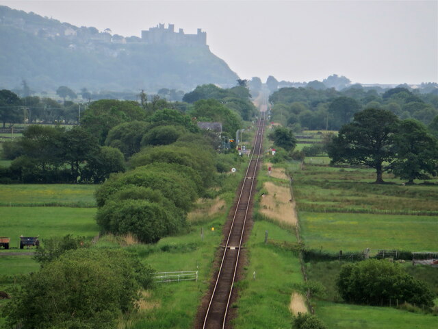
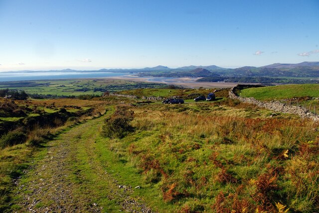
Coedallt is a picturesque hill located in the county of Merionethshire, Wales. Rising to an elevation of approximately 1,100 feet (335 meters), it is often referred to as a mountain due to its commanding presence in the surrounding landscape. Situated in the southern part of the county, Coedallt offers visitors breathtaking panoramic views of the stunning countryside.
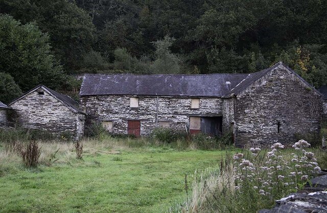
The hill is characterized by its lush greenery, with dense forests covering much of its slopes. The name "Coedallt" translates to "wooded slope" in Welsh, aptly describing the abundant woodland that adorns the hillside. These woodlands are home to a diverse range of flora and fauna, attracting nature enthusiasts and hikers alike.
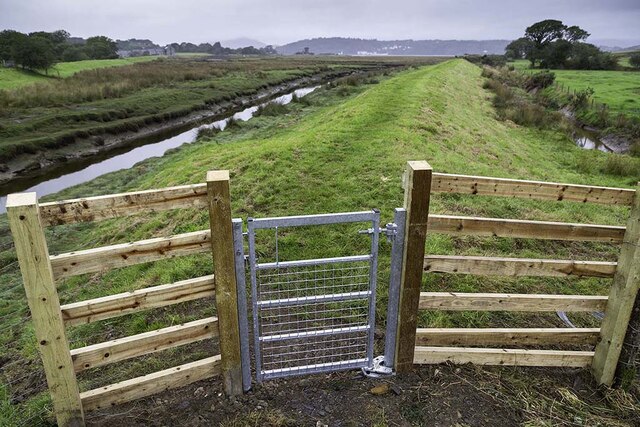
Coedallt is a popular destination for outdoor activities such as hiking, walking, and birdwatching. There are numerous well-maintained trails that wind their way up the hill, providing access to the summit and offering stunning vistas of the surrounding valleys and mountains. The hill is also home to a variety of wildlife, including red kites, buzzards, and various species of songbirds, making it a haven for birdwatchers.
The local community values Coedallt not only for its natural beauty but also for its historical significance. The hill is dotted with ancient ruins and remnants of past settlements, giving visitors a glimpse into the area's rich past. Archaeological investigations have uncovered evidence of human occupation dating back thousands of years.
With its breathtaking views, abundant wildlife, and historical intrigue, Coedallt offers visitors a truly immersive experience in the natural and cultural heritage of Merionethshire.
If you have any feedback on the listing, please let us know in the comments section below.
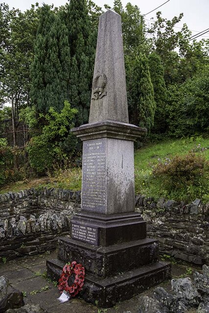
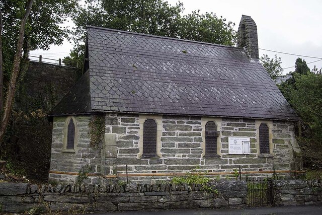
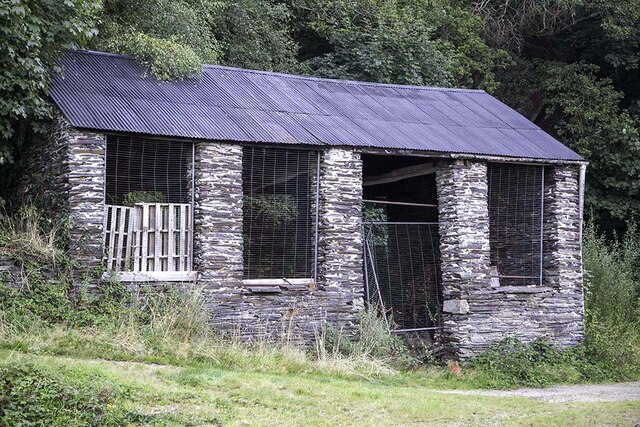
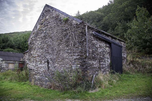
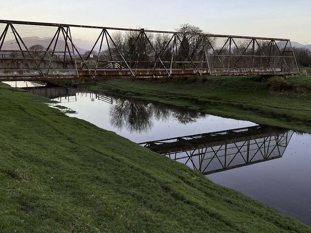
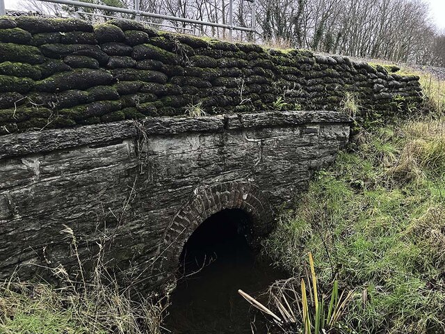
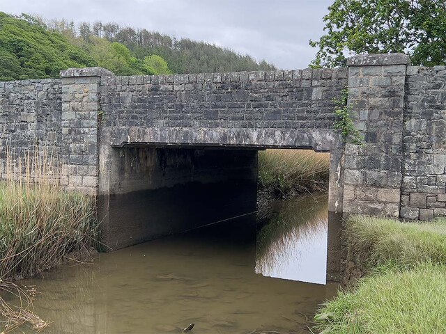
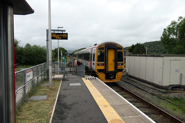
Coedallt Images
Images are sourced within 2km of 52.897916/-4.0597323 or Grid Reference SH6135. Thanks to Geograph Open Source API. All images are credited.


Coedallt is located at Grid Ref: SH6135 (Lat: 52.897916, Lng: -4.0597323)
Unitary Authority: Gwynedd
Police Authority: North Wales
What 3 Words
///steepest.fever.careless. Near Penrhyndeudraeth, Gwynedd
Nearby Locations
Related Wikis

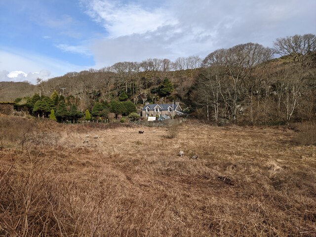
Soar, Gwynedd
Soar is a small village or hamlet in Gwynedd, Wales. It is located about 4 miles (6.4 km) northeast of Harlech, close to Talsarnau and Llandecwyn. It has...

Talsarnau
Talsarnau is a village and community in the Ardudwy area of Gwynedd in Wales. Its population was 525 in 2001, and had increased to 550 at the 2011 Census...
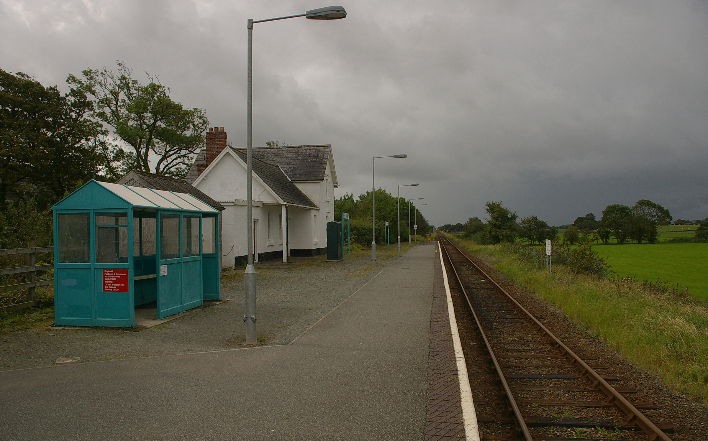
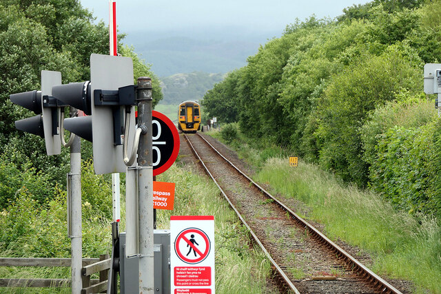
Talsarnau railway station
Talsarnau railway station serves the village of Talsarnau on the estuary of the Afon Dwyryd in Gwynedd, Wales. == Facilities == In early 2015, Talsarnau...
Eisingrug
Eisingrug (meaning: a place where corn was winnowed after husking) is a rural hamlet near Harlech, Gwynedd, Wales. It is located to the southeast of Porthmadog...
Nearby Amenities
Located within 500m of 52.897916,-4.0597323Have you been to Coedallt?
Leave your review of Coedallt below (or comments, questions and feedback).