Soar
Settlement in Merionethshire
Wales
Soar
Soar is a small village located in the county of Merionethshire, Wales. Situated in the heart of the beautiful Snowdonia National Park, Soar is surrounded by stunning natural landscapes and offers a peaceful and idyllic setting for residents and visitors alike.
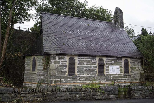
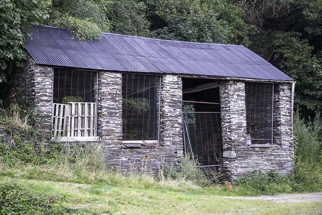
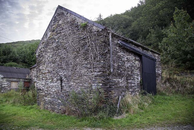
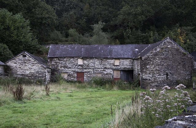
The village is characterized by its traditional Welsh charm, with quaint stone houses and charming cottages dotted throughout the area. The community in Soar is tight-knit and friendly, creating a warm and welcoming atmosphere for those who come to explore the region.
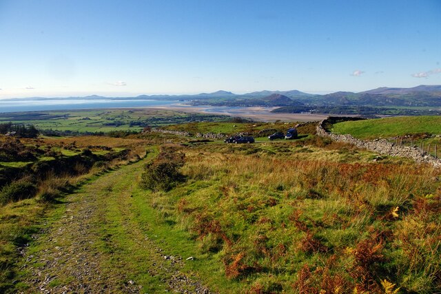
One of the main attractions of Soar is its close proximity to the breathtaking Cadair Idris mountain range. With its towering peaks, rugged terrain, and sweeping panoramic views, Cadair Idris is a haven for outdoor enthusiasts and hikers. The mountain offers various trails of different difficulty levels, allowing visitors to explore its beauty at their own pace.
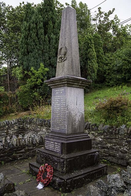
In addition to its natural beauty, Soar is also home to a number of historic landmarks and cultural attractions. The nearby market town of Dolgellau boasts a wealth of historical sites, including the 17th-century Cymer Abbey, which is a popular destination for history enthusiasts. The area is also known for its rich Welsh heritage, with traditional music, language, and customs still an integral part of the community.
Overall, Soar in Merionethshire is a charming village that offers a perfect blend of natural beauty, outdoor activities, and cultural heritage. Whether you are seeking a peaceful retreat or an adventure-filled getaway, Soar has something to offer for everyone.
If you have any feedback on the listing, please let us know in the comments section below.
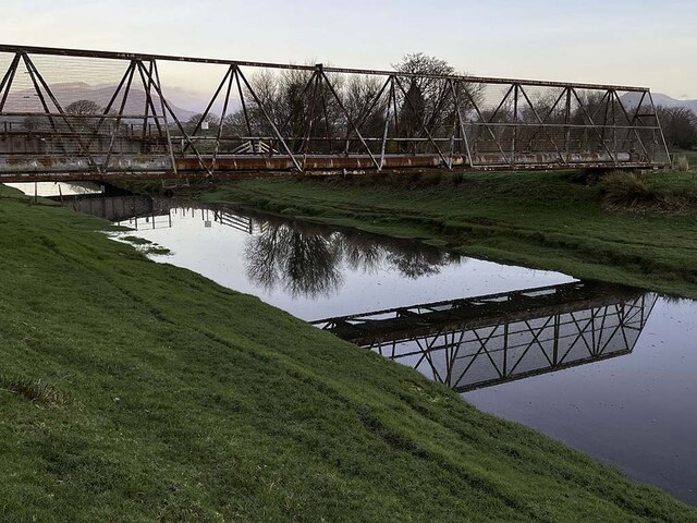
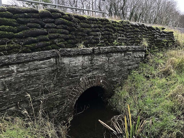
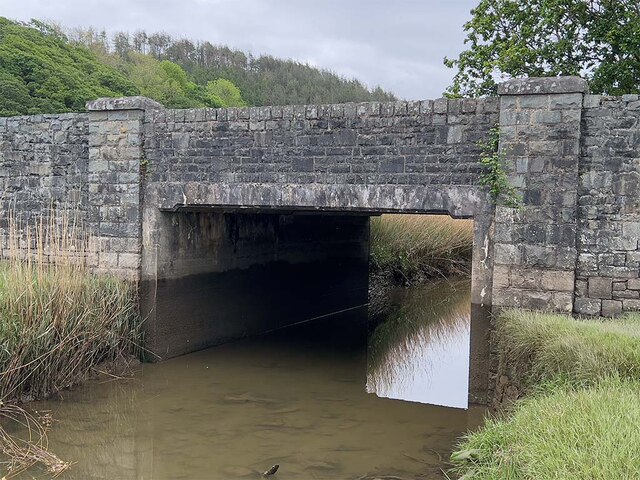
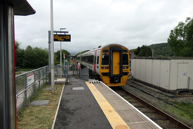
Soar Images
Images are sourced within 2km of 52.898608/-4.058865 or Grid Reference SH6135. Thanks to Geograph Open Source API. All images are credited.


Soar is located at Grid Ref: SH6135 (Lat: 52.898608, Lng: -4.058865)
Unitary Authority: Gwynedd
Police Authority: North Wales
What 3 Words
///update.freely.vital. Near Penrhyndeudraeth, Gwynedd
Nearby Locations
Related Wikis

Soar, Gwynedd
Soar is a small village or hamlet in Gwynedd, Wales. It is located about 4 miles (6.4 km) northeast of Harlech, close to Talsarnau and Llandecwyn. It has...

Talsarnau
Talsarnau is a village and community in the Ardudwy area of Gwynedd in Wales. Its population was 525 in 2001, and had increased to 550 at the 2011 Census...
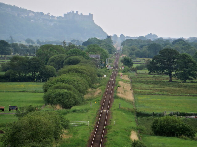
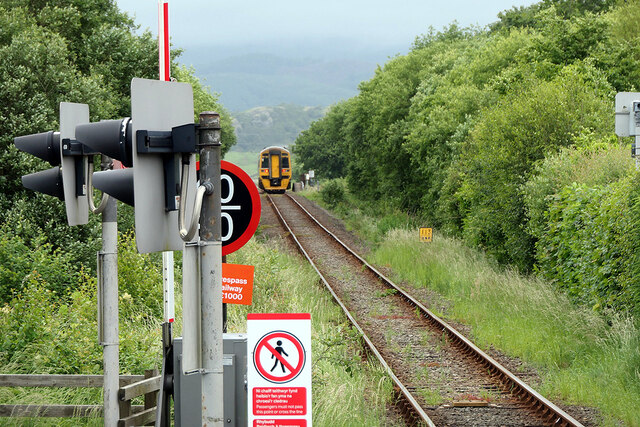
Talsarnau railway station
Talsarnau railway station serves the village of Talsarnau on the estuary of the Afon Dwyryd in Gwynedd, Wales. == Facilities == In early 2015, Talsarnau...
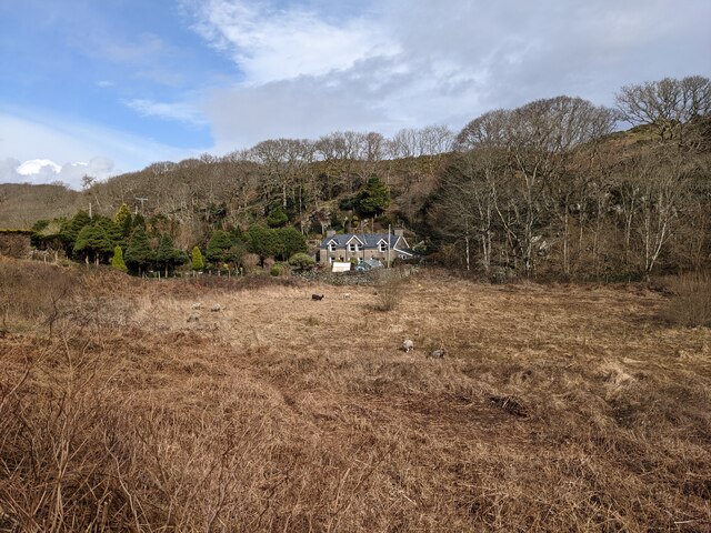
Eisingrug
Eisingrug (meaning: a place where corn was winnowed after husking) is a rural hamlet near Harlech, Gwynedd, Wales. It is located to the southeast of Porthmadog...

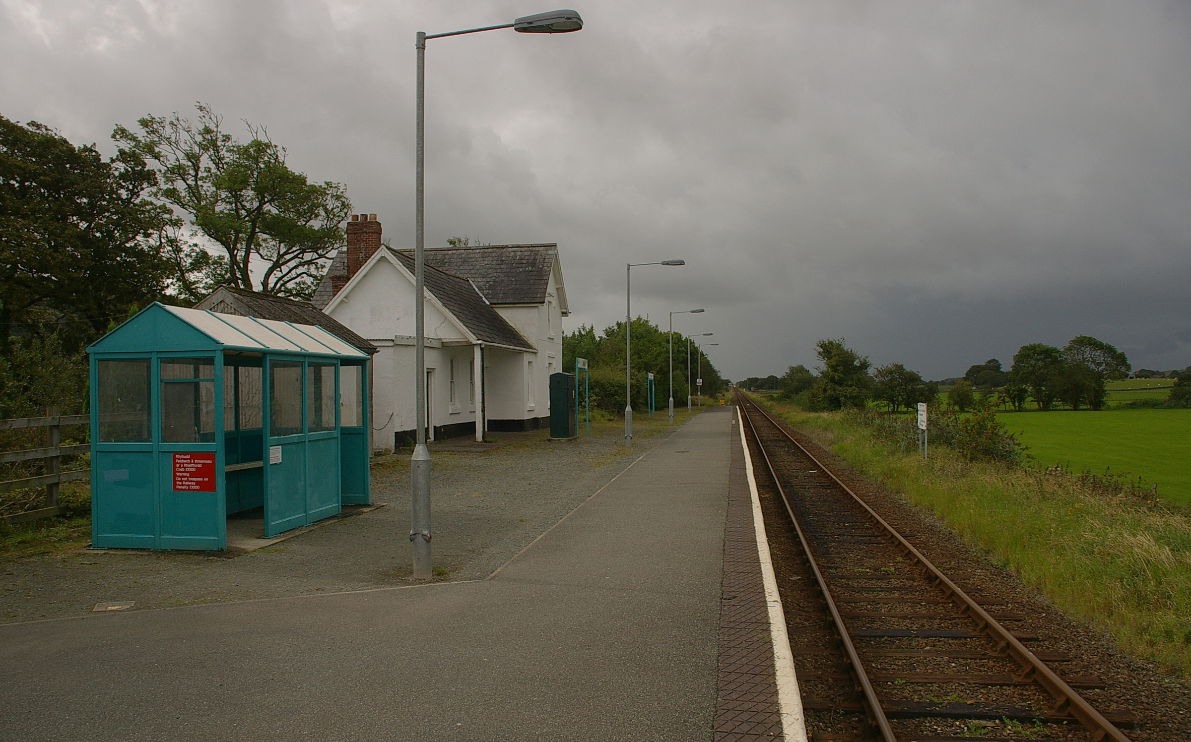
Tygwyn railway station
Tygwyn railway station is located at a level crossing on the A496 between Harlech and Talsarnau near the estuary of the Afon Dwyryd in Gwynedd, Wales....

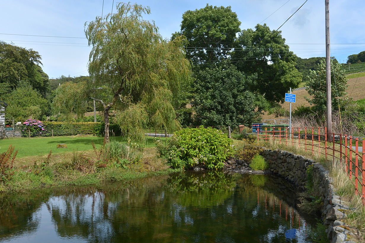
Llanfihangel-y-traethau
Llanfihangel-y-traethau ("St. Michael's on the Beaches") was a parish in Ardudwy, Gwynedd, north-west Wales centred on a church of the same name in the...
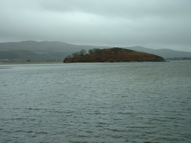
Ynys Gifftan
Ynys Gifftan is an island near the south east shore of Traeth Bach, the Dwyryd estuary near Portmeirion in Gwynedd, north Wales. There is a public footpath...

Llandecwyn railway station
Llandecwyn railway station serves the rural area around Llandecwyn on the estuary of the Afon Dwyryd in Gwynedd, Wales. == History == British Rail requested...
Nearby Amenities
Located within 500m of 52.898608,-4.058865Have you been to Soar?
Leave your review of Soar below (or comments, questions and feedback).