Coed Gwarallt
Wood, Forest in Cardiganshire
Wales
Coed Gwarallt
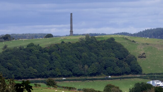
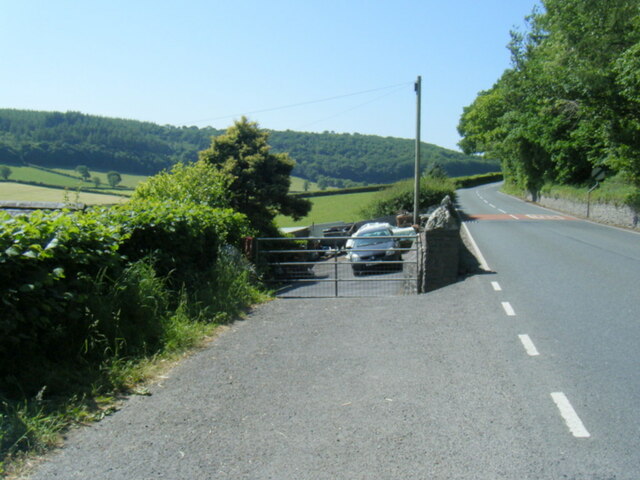
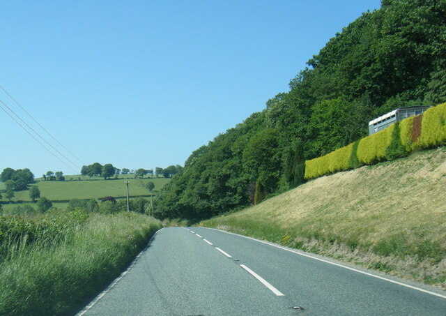
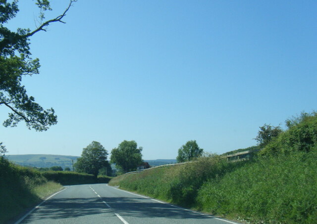
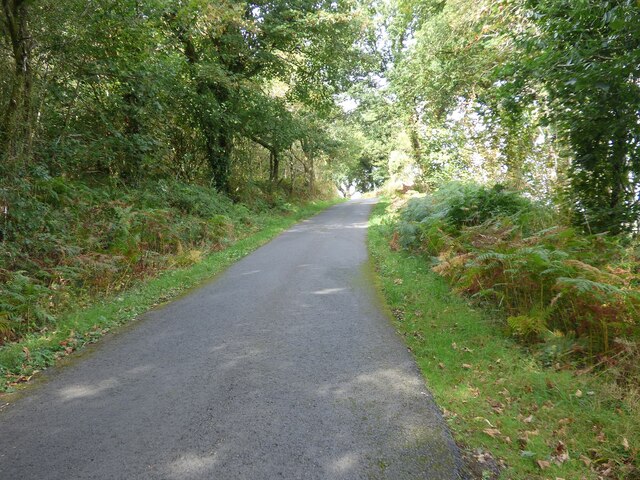
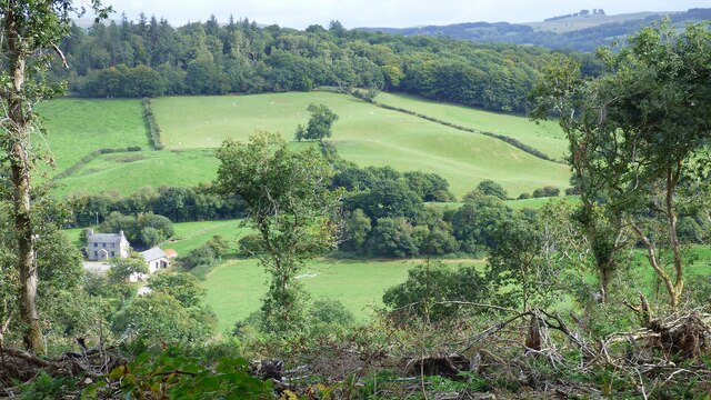
Coed Gwarallt is a picturesque woodland located in Cardiganshire, Wales. Spanning over a vast area, this ancient forest is known for its stunning natural beauty and rich biodiversity.
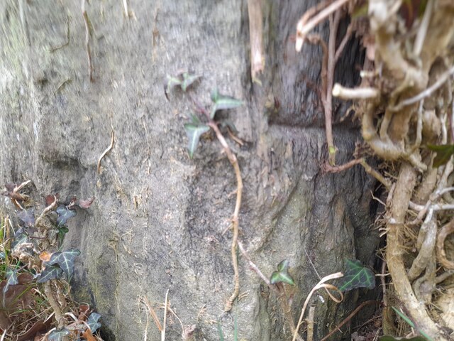
The woodland is characterized by a dense canopy of towering oak, beech, and ash trees, which provide a habitat for a diverse range of plant and animal species. The forest floor is covered with a lush carpet of ferns, mosses, and wildflowers, creating a vibrant and magical atmosphere.
Coed Gwarallt is home to a variety of wildlife, including red squirrels, badgers, foxes, and numerous species of birds. The forest is particularly renowned for its bird population, with sightings of rare and elusive species such as the pied flycatcher and redstart. Bird enthusiasts often flock to the area to observe and study these unique creatures.
The woodland offers a tranquil and calming environment, making it a popular destination for nature lovers, hikers, and photographers. Visitors can explore the many walking trails that wind through the forest, allowing them to immerse themselves in its beauty and serenity.
Coed Gwarallt also holds historical significance, with traces of ancient settlements and burial sites dating back thousands of years. The forest has witnessed the passage of time and carries an air of mystery and intrigue.
Overall, Coed Gwarallt is a captivating woodland that offers a haven of natural wonders, making it a must-visit destination for those seeking solace in the embrace of nature.
If you have any feedback on the listing, please let us know in the comments section below.
Coed Gwarallt Images
Images are sourced within 2km of 52.131605/-4.0597832 or Grid Reference SN5950. Thanks to Geograph Open Source API. All images are credited.

Coed Gwarallt is located at Grid Ref: SN5950 (Lat: 52.131605, Lng: -4.0597832)
Unitary Authority: Ceredigion
Police Authority: Dyfed Powys
What 3 Words
///reflect.district.incursion. Near Llangybi, Ceredigion
Nearby Locations
Related Wikis

A485 road
The A485 is an A road linking Tanerdy near Carmarthen to Llanfarian near Aberystwyth in Wales. Settlements along the route include: Tanerdy Peniel Rhydargaeau...

Silian Halt railway station
The Silian Halt railway station was a small railway station at Silian, the first stop after the junction on the Aberayron branch of the Carmarthen to Aberystwyth...

Derry Ormond railway station
Derry Ormond railway station served the hamlet and rural locale of Betws Bledrws near Llangybi, as well as the mansion and estate of Derry Ormond (demolished...

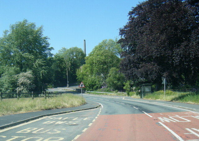
Derry Ormond Tower
Derry Ormond Tower is a Grade II*-listed folly situated above Betws Bledrws, 3 miles (4.8 km) north of Lampeter in the county of Ceredigion, Wales. It...
Silian, Ceredigion
Silian, originally Sulien, is a village in the valley of the River Teifi, Ceredigion, Wales. It is located approximately two miles north-west of Lampeter...
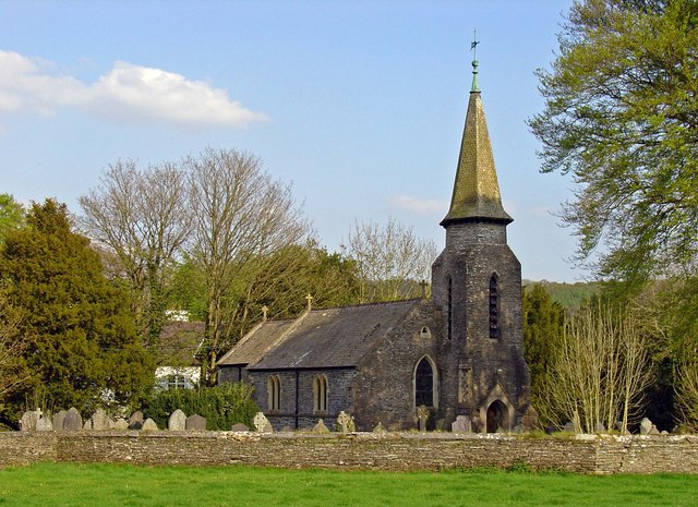
Betws Bledrws Church
The present church of St Bledrws, in the village of Betws Bledrws (sometimes spelt Bettws Bledrws), near Lampeter, Ceredigion, Wales, is a 19th-century...
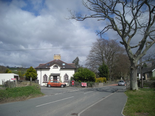
Betws Bledrws
Betws Bledrws, is a village between Lampeter and Llangybi, Ceredigion, Wales that was also known as Derry Ormond when under the influence of Derry Ormond...

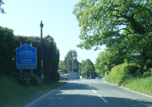
Lampeter
Lampeter (; Welsh: Llanbedr Pont Steffan (formal); Llambed (colloquial)) is a town, community and electoral ward in Ceredigion, Wales, at the confluence...
Nearby Amenities
Located within 500m of 52.131605,-4.0597832Have you been to Coed Gwarallt?
Leave your review of Coed Gwarallt below (or comments, questions and feedback).