Castell Allt-goch

Heritage Site in Cardiganshire

Wales

Castell Allt-goch

Derry Ormond Tower <span class="nowrap"><a title="https://en.wikipedia.org/wiki/Derry_Ormond_Tower" rel="nofollow ugc noopener" href="https://en.wikipedia.org/wiki/Derry_Ormond_Tower">Link</a><img style="margin-left:2px;" alt="External link" title="External link - shift click to open in new window" src="https://s1.geograph.org.uk/img/external.png" width="10" height="10"/></span>
Derry Ormond Tower Credit: Sandy Gerrard

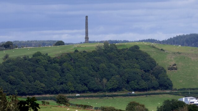
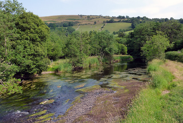
Castell Allt-goch is a historic heritage site located in Cardiganshire, Wales. Perched on a hilltop overlooking the Teifi Valley, this ancient hillfort dates back to the Iron Age, making it a significant archaeological site and a testament to the region's rich history.

The hillfort is believed to have been constructed around 600 BC and was likely occupied for several centuries. It consists of a series of earthworks, including a double bank and ditch system, which would have provided a formidable defensive structure for its inhabitants. The site covers an area of approximately 2.5 hectares and offers panoramic views of the surrounding countryside.

Excavations at Castell Allt-goch have revealed evidence of a complex and well-organized settlement. The remains of circular houses, storage pits, and hearths have been discovered, indicating that this hillfort was once a thriving community. Additionally, numerous finds, such as pottery, tools, and jewelry, have been unearthed, shedding light on the daily lives and craftsmanship of its inhabitants.

Today, Castell Allt-goch serves as an important heritage site, attracting visitors who are interested in exploring its ancient past. The site is accessible via a footpath, and visitors can explore the earthworks and enjoy the stunning views from the hilltop. Interpretive signs provide information about the hillfort's history and the significance of its archaeological discoveries.

Castell Allt-goch is not only a fascinating historical site but also a place of natural beauty, offering a serene and picturesque setting for those who visit.

If you have any feedback on the listing, please let us know in the comments section below.

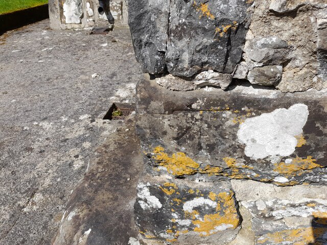
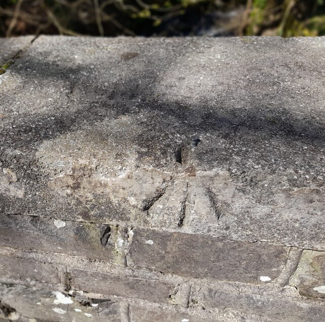
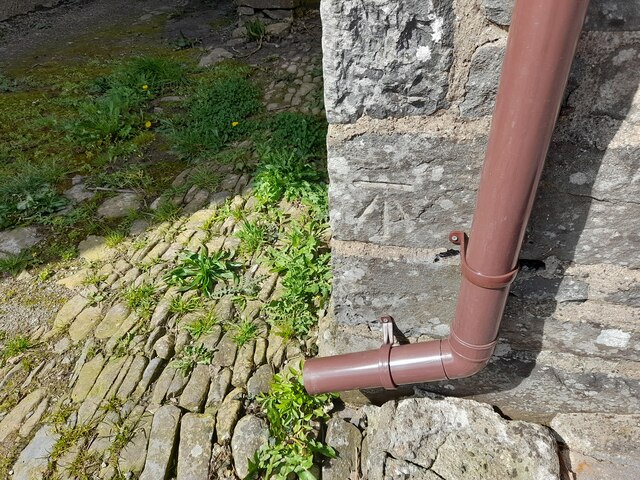
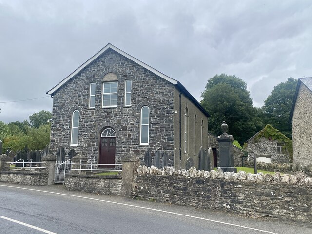
Castell Allt-goch Images

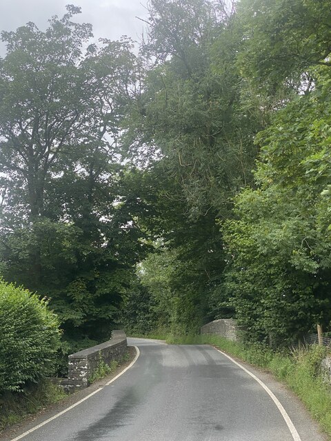
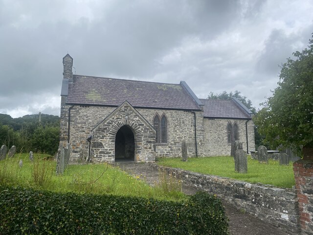
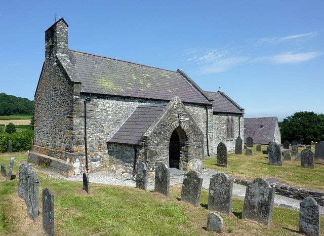
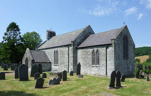
Images are sourced within 2km of 52.135/-4.053 or Grid Reference SN5950. Thanks to Geograph Open Source API. All images are credited.

Derry Ormond Tower <span class="nowrap"><a title="https://en.wikipedia.org/wiki/Derry_Ormond_Tower" rel="nofollow ugc noopener" href="https://en.wikipedia.org/wiki/Derry_Ormond_Tower">Link</a><img style="margin-left:2px;" alt="External link" title="External link - shift click to open in new window" src="https://s1.geograph.org.uk/img/external.png" width="10" height="10"/></span>
Derry Ormond Tower
Ordnance Survey Cut Mark This OS cut mark can be found on the gatepost south side of the road. It marks a point 189.311m above mean sea level.
Ordnance Survey Cut Mark
This OS cut mark can be found on the gatepost south side of the road. It marks a point 189.311m above mean sea level.
Ordnance Survey Cut Mark This OS cut mark can be found on the SW angle of St Bledrws' Church. It marks a point 133.707m above mean sea level.
Ordnance Survey Cut Mark
This OS cut mark can be found on the SW angle of St Bledrws' Church. It marks a point 133.707m above mean sea level.
Ordnance Survey Flush Bracket (G3325) This OS Flush Bracket can be found on the roadside barn at Bettws Farm. It marks a point 133.651m above mean sea level.
Ordnance Survey Flush Bracket (G3325)
This OS Flush Bracket can be found on the roadside barn at Bettws Farm. It marks a point 133.651m above mean sea level.
A485 in Betws Bledrws
A485 by Bettws Plantation
A485 at Allt Coed Parc
A485 near Dyffryn Farm
Ordnance Survey Cut Mark This OS cut mark can be found on the porch of All Saints Church. It marks a point 135.740m above mean sea level.
Ordnance Survey Cut Mark
This OS cut mark can be found on the porch of All Saints Church. It marks a point 135.740m above mean sea level.
Ordnance Survey Rivet This OS rivet can be found on the NW parapet of the bridge. It marks a point 135.792m above mean sea level.
Ordnance Survey Rivet
This OS rivet can be found on the NW parapet of the bridge. It marks a point 135.792m above mean sea level.
Ordnance Survey Cut Mark This OS cut mark can be found on Chapel House. It marks a point 138.401m above mean sea level.
Ordnance Survey Cut Mark
This OS cut mark can be found on Chapel House. It marks a point 138.401m above mean sea level.
Capel yr Erw Independent Welsh Chapel, built in 1811, rebuilt in 1863 and renewed in 1933
Capel yr Erw
Independent Welsh Chapel, built in 1811, rebuilt in 1863 and renewed in 1933
Pont Faen Bridge over Ffrwd Cynon.
Pont Faen
Bridge over Ffrwd Cynon.
All Saints Church, Cellan
Church of All Saints at Cellan, Ceredigion The church of All Saints, erected in 1668, is a building of stone, in the Gothic style.......restored in 1865, and affords 90 sittings. (from Genuki <span class="nowrap"><a title="http://www.genuki.org.uk/big/wal/CGN/Cellan/Kellys1910.html" rel="nofollow ugc noopener" href="http://www.genuki.org.uk/big/wal/CGN/Cellan/Kellys1910.html">Link</a><img style="margin-left:2px;" alt="External link" title="External link - shift click to open in new window" src="https://s1.geograph.org.uk/img/external.png" width="10" height="10"/></span> )
Church of All Saints at Cellan, Ceredigion
The church of All Saints, erected in 1668, is a building of stone, in the Gothic style.......restored in 1865, and affords 90 sittings. (from Genuki LinkExternal link )
The Afon Teifi near Cellan, Ceredigion This is the Afon Teifi looking south-east from the footbridge. Very little rain has fallen for the last few weeks.
The Afon Teifi near Cellan, Ceredigion
This is the Afon Teifi looking south-east from the footbridge. Very little rain has fallen for the last few weeks.
Capel-yr-Erw, Cellan Welsh Independent (i.e. Congregationalist)
Capel-yr-Erw, Cellan
Welsh Independent (i.e. Congregationalist)
Show me another place!

Castell Allt-goch is located at Grid Ref: SN5950 (Lat: 52.135, Lng: -4.053)

Unitary Authority: Ceredigion

Police Authority: Dyfed Powys

What 3 Words

///contain.pest.daydream. Near Llangybi, Ceredigion

Related Wikis

Derry Ormond railway station

Derry Ormond railway station served the hamlet and rural locale of Betws Bledrws near Llangybi, as well as the mansion and estate of Derry Ormond (demolished...

Derry Ormond Tower

Derry Ormond Tower is a Grade II*-listed folly situated above Betws Bledrws, 3 miles (4.8 km) north of Lampeter in the county of Ceredigion, Wales. It...

Silian Halt railway station

The Silian Halt railway station was a small railway station at Silian, the first stop after the junction on the Aberayron branch of the Carmarthen to Aberystwyth...

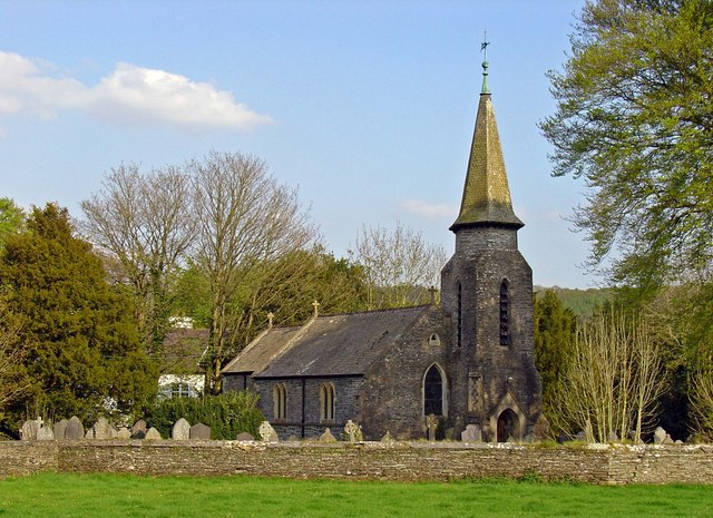
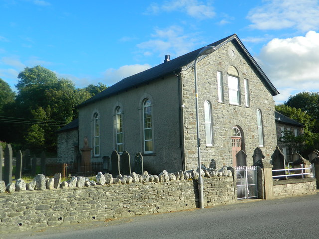
Betws Bledrws Church

The present church of St Bledrws, in the village of Betws Bledrws (sometimes spelt Bettws Bledrws), near Lampeter, Ceredigion, Wales, is a 19th-century...
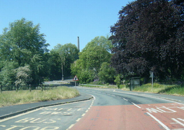
A485 road

The A485 is an A road linking Tanerdy near Carmarthen to Llanfarian near Aberystwyth in Wales. Settlements along the route include: Tanerdy Peniel Rhydargaeau...
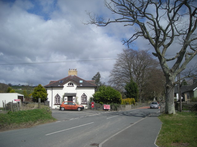
Betws Bledrws

Betws Bledrws, is a village between Lampeter and Llangybi, Ceredigion, Wales that was also known as Derry Ormond when under the influence of Derry Ormond...

Silian, Ceredigion

Silian, originally Sulien, is a village in the valley of the River Teifi, Ceredigion, Wales. It is located approximately two miles north-west of Lampeter...

Pentrefelin, Ceredigion

Pentrefelin, Ceredigion is a hamlet in the community of Llanfair Clydogau, Ceredigion, Wales, which is 57.3 miles (92.3 km) from Cardiff and 171.9 miles...

Nearby Amenities

Located within 500m of 52.135,-4.053
Castell Allt-goch
Castle Type: hill_fort
Historic: castle
Historic Civilization: iron-age
Lat/Long: 52.1315983/-4.0566037
The data included in this document is from www.openstreetmap.org. The data is made available under ODbL.

Have you been to Castell Allt-goch?

Leave your review of Castell Allt-goch below (or comments, questions and feedback).