Castell Aberlleiniog

Heritage Site in Anglesey

Wales

Castell Aberlleiniog

Eglwys Sant Cawrdaf  St Cawrdaf Church
Eglwys Sant Cawrdaf St Cawrdaf Church Credit: Ceri Thomas

Castell Aberlleiniog is a historic heritage site located in Anglesey, Wales. It is an impressive medieval castle that stands on a prominent hill overlooking the Menai Strait. The castle dates back to the 12th century and is believed to have been built by the Welsh prince Llywelyn the Great.

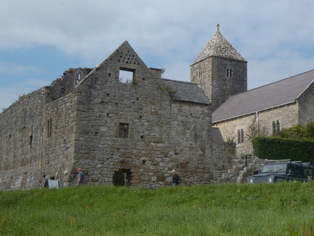
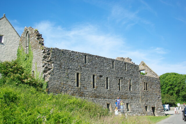
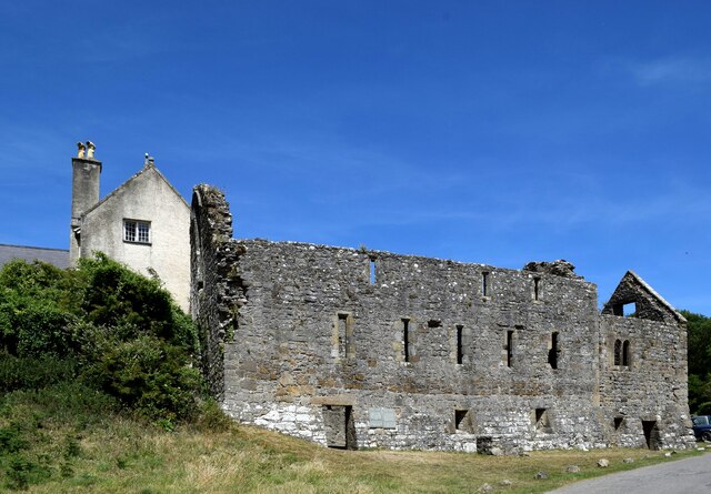
The castle is surrounded by a moat and is constructed using local stone, giving it a sturdy and imposing appearance. It consists of a central keep, which would have served as the main living quarters, and a curtain wall with several towers for defense. The castle's layout follows a typical motte and bailey design, with the keep situated on a raised mound and the bailey area adjacent to it.

Inside the castle, visitors can explore the ruins and get a sense of what life would have been like during its heyday. The keep features a large fireplace and remnants of a spiral staircase, while the towers offer panoramic views of the surrounding countryside.

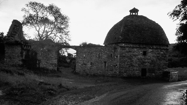
Castell Aberlleiniog played a significant role in the conflict between the Welsh and English during the Middle Ages. It was captured and recaptured multiple times, serving as a strategic stronghold. However, the castle eventually fell into disuse and was left to deteriorate.

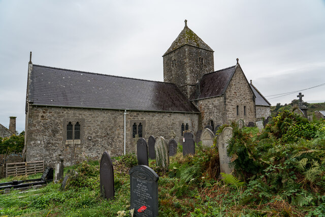
Today, Castell Aberlleiniog is a popular attraction for history enthusiasts and tourists. It is managed by Cadw, the Welsh government's historic environment service, which ensures its preservation and provides informative displays for visitors. The site offers a glimpse into Wales' rich medieval past and the turbulent times it witnessed.

If you have any feedback on the listing, please let us know in the comments section below.

Castell Aberlleiniog Images

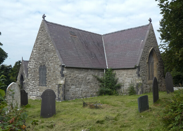
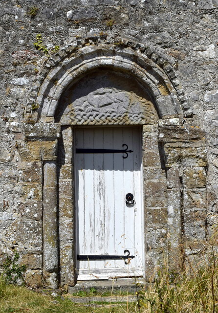
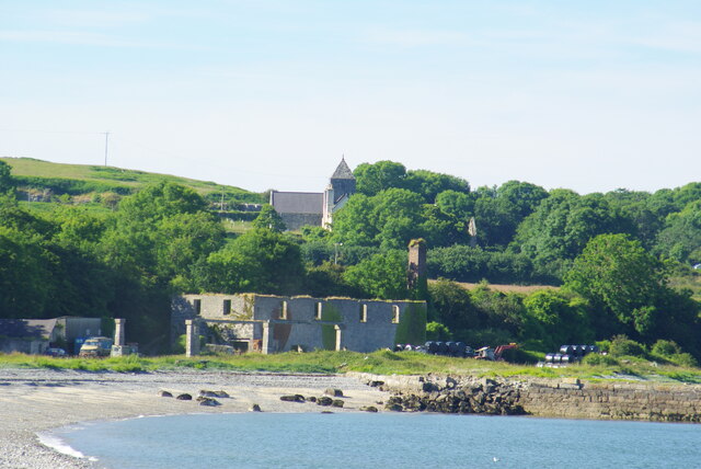
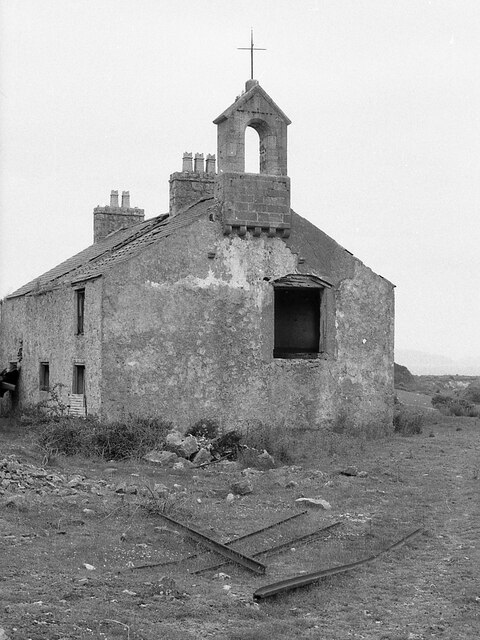
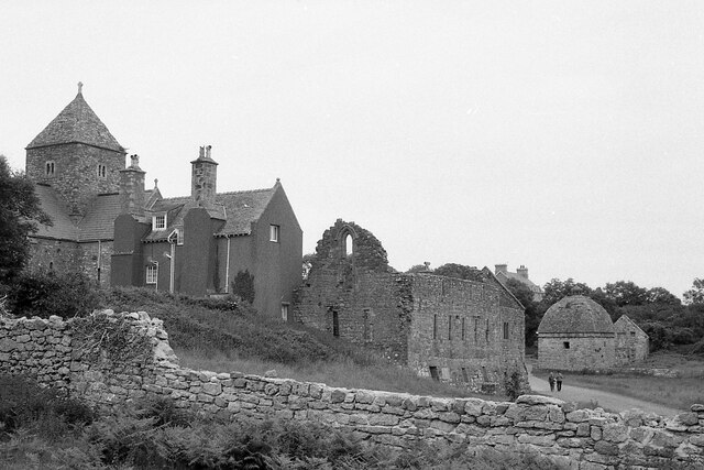
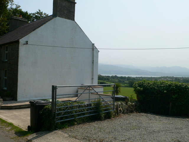
Images are sourced within 2km of 53.293/-4.078 or Grid Reference SH6179. Thanks to Geograph Open Source API. All images are credited.

Eglwys Sant Cawrdaf  St Cawrdaf Church
Eglwys Sant Cawrdaf St Cawrdaf Church
Arwydd draenogiad / Hedgehog sign
Pentref Penmon / Penmon village
Osgoi'r ysgall / Dodging the thistles
Priordy Penmon ac Eglwys Sant Seiriol / Penmon Priory and St Seiriol's Church
Priordy Penmon o'r môr Penmon Priory from the sea.
Priordy Penmon o'r môr
Penmon Priory from the sea.
St Seiriol's church, Penmon Priory
Penmon Dovecote in 1980
Penmon Priory Refectory & Warming House Remains
Penmon Priory
Refectory & Warming House Remains
Ruins of the refectory, Penmon Priory Probably dating from the 13th Century, the building once housed the monks' dormitory above the refectory.   Grade-I listed by Cadw (26764 <span class="nowrap"><a title="https://cadwpublic-api.azurewebsites.net/reports/listedbuilding/FullReport?lang=&id=26764" rel="nofollow ugc noopener" href="https://cadwpublic-api.azurewebsites.net/reports/listedbuilding/FullReport?lang=&id=26764">Link</a><img style="margin-left:2px;" alt="External link" title="External link - shift click to open in new window" src="https://s1.geograph.org.uk/img/external.png" width="10" height="10"/></span> ).
Ruins of the refectory, Penmon Priory
Probably dating from the 13th Century, the building once housed the monks' dormitory above the refectory. Grade-I listed by Cadw (26764 LinkExternal link ).
St Seiriol's Church (Penmon Priory) A church was probably established on the site in the 6th Century.  The nave and tower pictured date from the mid-12th Century and are grade-I listed by Cadw (5525 <span class="nowrap"><a title="https://cadwpublic-api.azurewebsites.net/reports/listedbuilding/FullReport?lang=&id=5525" rel="nofollow ugc noopener" href="https://cadwpublic-api.azurewebsites.net/reports/listedbuilding/FullReport?lang=&id=5525">Link</a><img style="margin-left:2px;" alt="External link" title="External link - shift click to open in new window" src="https://s1.geograph.org.uk/img/external.png" width="10" height="10"/></span> ).  Note the tympanum above the south doorway.
St Seiriol's Church (Penmon Priory)
A church was probably established on the site in the 6th Century. The nave and tower pictured date from the mid-12th Century and are grade-I listed by Cadw (5525 LinkExternal link ). Note the tympanum above the south doorway.
St Seiriol's Church and Priory House, Penmon Priory House (listed at grade-II* by Cadw 5454 <span class="nowrap"><a title="https://cadwpublic-api.azurewebsites.net/reports/listedbuilding/FullReport?lang=&id=5454" rel="nofollow ugc noopener" href="https://cadwpublic-api.azurewebsites.net/reports/listedbuilding/FullReport?lang=&id=5454">Link</a><img style="margin-left:2px;" alt="External link" title="External link - shift click to open in new window" src="https://s1.geograph.org.uk/img/external.png" width="10" height="10"/></span> ), with its gigantic buttress chimneys, is built onto the south transept of the church.
St Seiriol's Church and Priory House, Penmon
Priory House (listed at grade-II* by Cadw 5454 LinkExternal link ), with its gigantic buttress chimneys, is built onto the south transept of the church.
South door of the nave, St Seiriol's Church, Penmon Note the crouching dragon in the tympanum.
South door of the nave, St Seiriol's Church, Penmon
Note the crouching dragon in the tympanum.
Remains of quarry buildings South of Penmon Priory, the remains of foreshore buildings of Penmon Parc quarry
Remains of quarry buildings
South of Penmon Priory, the remains of foreshore buildings of Penmon Parc quarry
Barrack Cottages, Penmon Park Quarry
Penmon Priory
Penmon Priory
House at Glan yr Afon with views to Snowdonia
The Anglesey Coast Path The path leaves the Mariandyrys Road on its way eastwards
The Anglesey Coast Path
The path leaves the Mariandyrys Road on its way eastwards
Show me another place!

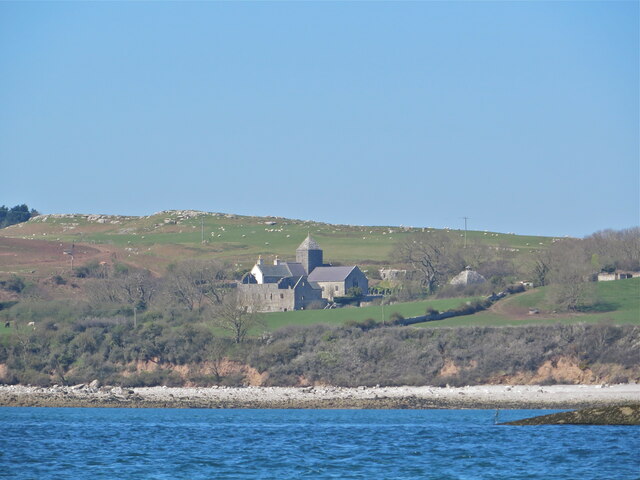
Castell Aberlleiniog is located at Grid Ref: SH6179 (Lat: 53.293, Lng: -4.078)

Unitary Authority: Isle of Anglesey

Police Authority: North Wales

What 3 Words

///native.buying.inspector. Near Llangoed, Isle of Anglesey

Related Wikis

Castell Aberlleiniog

Castell Aberlleiniog (Castle of the Mouth of the Lleiniog) is a motte and bailey fortress near the Welsh village of Llangoed on the Isle of Anglesey, built...

Cornelyn

Cornelyn is an area in the community of Llangoed, Anglesey, Wales, which is 131.2 miles (211.2 km) from Cardiff and 207.4 miles (333.8 km) from London...

Llangoed

Llangoed () is a small village, community and electoral ward just north of Beaumaris, on the Isle of Anglesey (Welsh: Ynys Môn), at grid reference SH609793...

Glannau Penmon

Glannau Penmon - Biwmares is a Site of Special Scientific Interest (or SSSI) in Anglesey, North Wales. It has been designated as a Site of Special Scientific...

Nearby Amenities

Located within 500m of 53.293,-4.078
Transmitter
Man Made: mast
Lat/Long: 53.2895116/-4.0784366
Barrier: kissing_gate
Foot: yes
Lat/Long: 53.2904772/-4.0731182
Power: pole
Lat/Long: 53.29013/-4.081947
Power: pole
Lat/Long: 53.2899055/-4.0808232
Power: substation
Lat/Long: 53.289328/-4.079404
Passing Place
Lat/Long: 53.2908039/-4.071576
Barrier: kissing_gate
Lat/Long: 53.2927002/-4.0813033
Tros Yr Afon
Tourism: chalet
Lat/Long: 53.2907367/-4.0795307
Ford: yes
Lat/Long: 53.2933559/-4.0831174
The data included in this document is from www.openstreetmap.org. The data is made available under ODbL.

Have you been to Castell Aberlleiniog?

Leave your review of Castell Aberlleiniog below (or comments, questions and feedback).