Castell
Heritage Site in Pembrokeshire
Wales
Castell
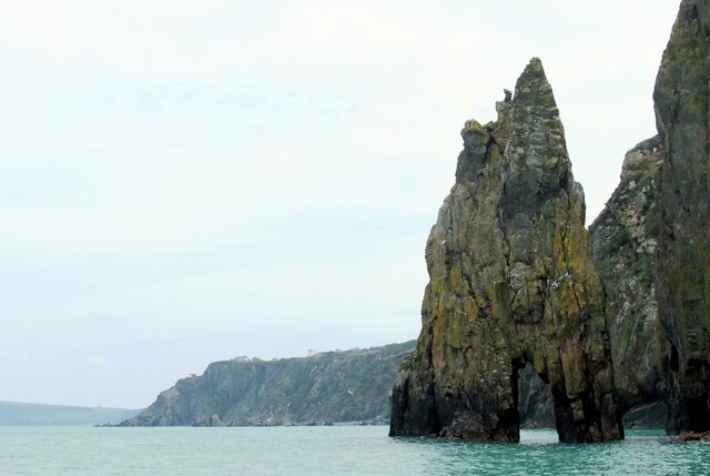
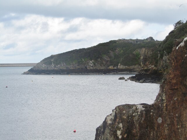
Castell, Pembrokeshire is a historic heritage site located in the county of Pembrokeshire, Wales. The site is an ancient hillfort that dates back to the Iron Age, with evidence of human occupation and fortification dating as far back as 600 BC. It is situated on a prominent hilltop, providing strategic views of the surrounding landscape and coastline.
The hillfort is surrounded by impressive defensive earthworks, including multiple ramparts and ditches, which served as a protective barrier for the settlement. The site covers an area of approximately 5 acres, consisting of a central enclosure and an outer enclosure.
Excavations and archaeological surveys have revealed a variety of structures within the hillfort, including roundhouses, storage pits, and evidence of ironworking. These findings suggest that the site was once a thriving community, engaged in agriculture, trade, and craft activities.
Castell, Pembrokeshire has significant historical and cultural value, as it offers insights into the daily lives and social organization of Iron Age communities in the area. The site is also notable for its strategic location and its role in the defense of the region during ancient times.
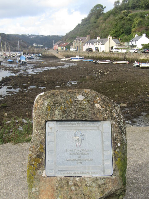
Today, Castell, Pembrokeshire attracts visitors who are interested in exploring its rich history and enjoying the stunning views from its elevated position. The site is managed and maintained by local authorities, with interpretive signs and information boards providing visitors with a deeper understanding of its archaeological significance.
If you have any feedback on the listing, please let us know in the comments section below.
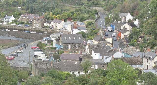
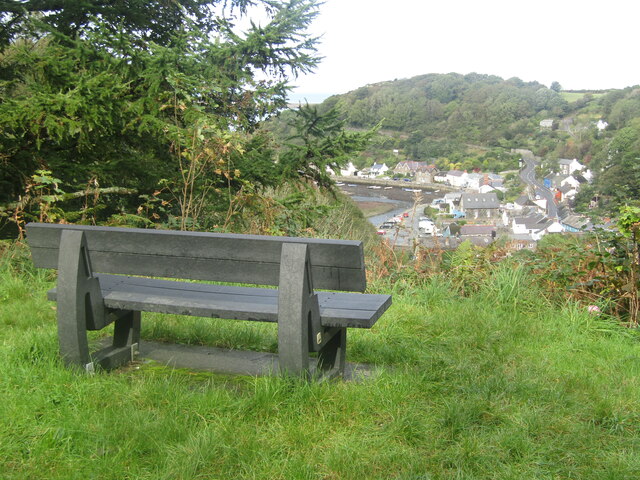
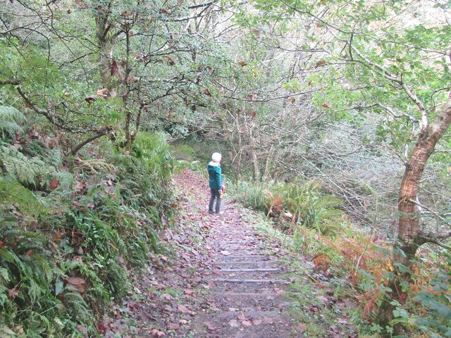
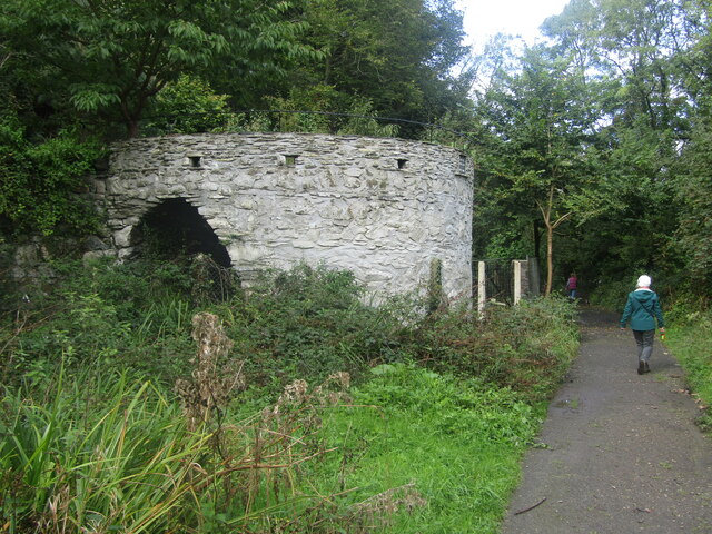
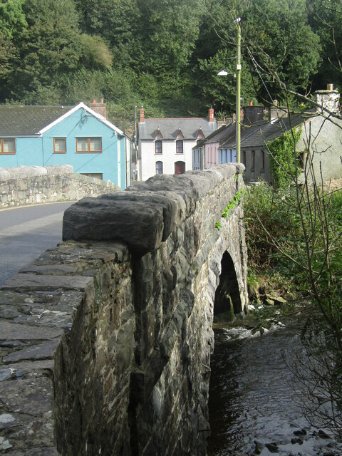
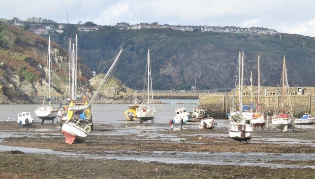
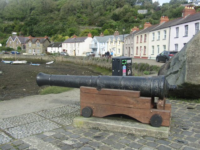
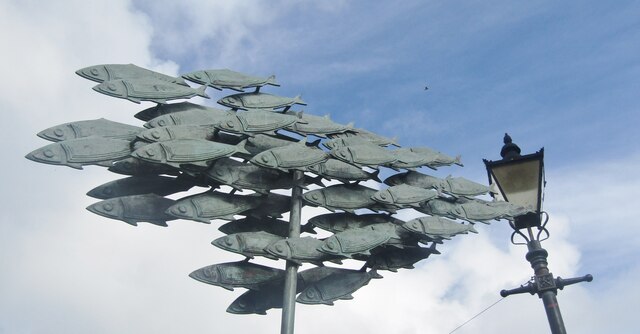
Castell Images
Images are sourced within 2km of 52.002/-4.945 or Grid Reference SM9737. Thanks to Geograph Open Source API. All images are credited.

Castell is located at Grid Ref: SM9737 (Lat: 52.002, Lng: -4.945)
Unitary Authority: Pembrokeshire
Police Authority: Dyfed Powys
What 3 Words
///sweetened.owes.exulted. Near Fishguard, Pembrokeshire
Nearby Locations
Related Wikis

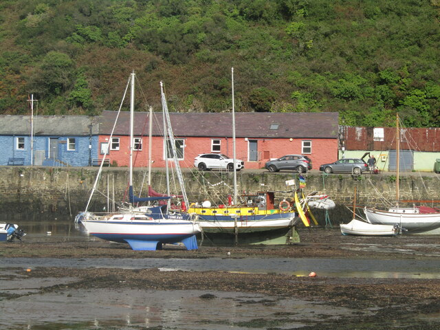
Fishguard Bay
Fishguard Bay (Welsh: Bae Abergwaun) is a bay on the north Pembrokeshire coast, Wales. Much of the bay's coastline is within the Pembrokeshire Coast National...

River Gwaun
The River Gwaun (Welsh: Afon Gwaun, "Gwaun" meaning 'marsh, moor') is a river in Pembrokeshire, West Wales, which flows west to the sea at Fishguard (Welsh...
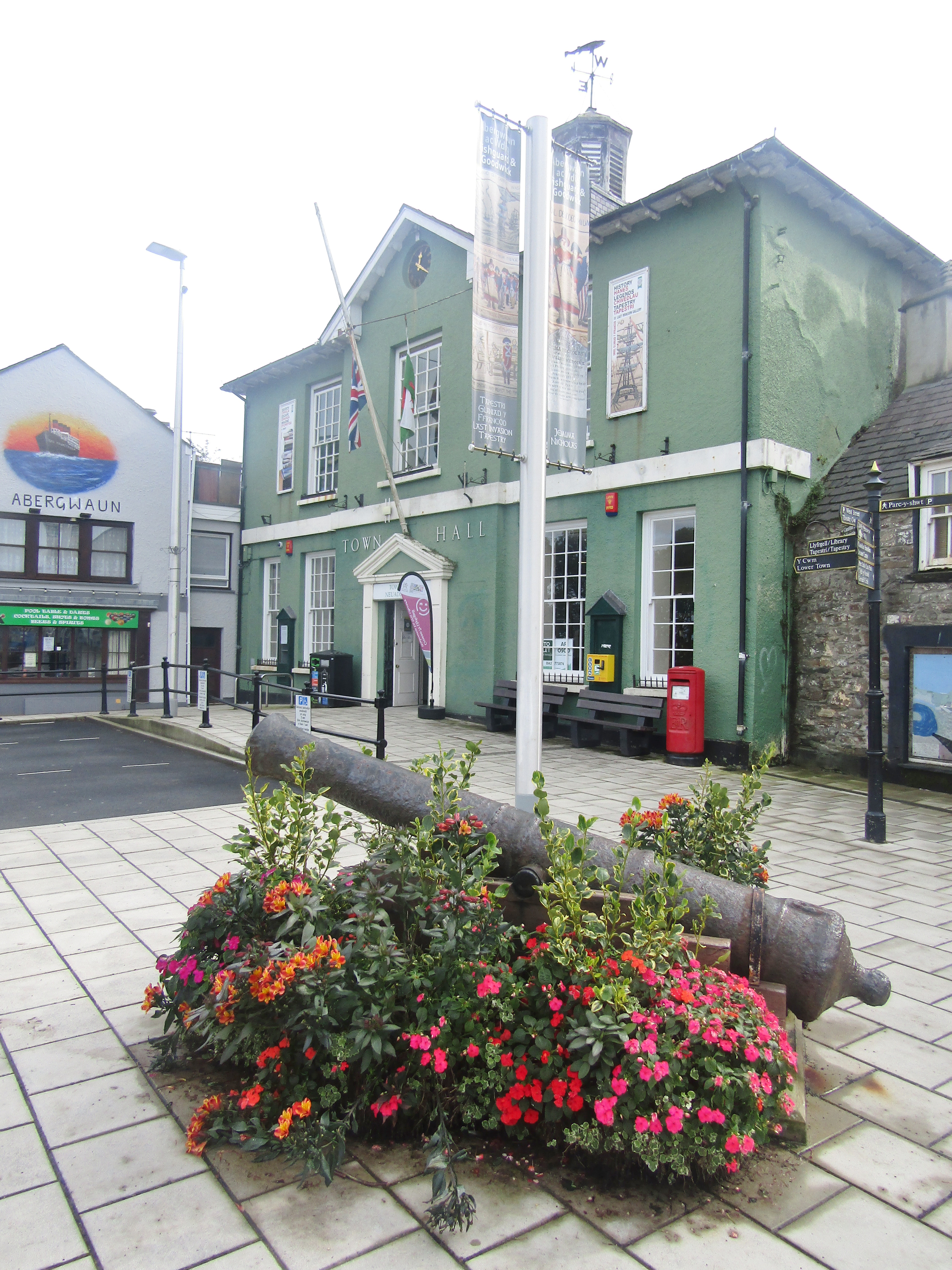
Fishguard Town Hall
Fishguard Town Hall (Welsh: Neuadd y Dref Abergwaun) is a municipal building in the Market Square, Fishguard, Pembrokeshire, Wales. The structure, which...
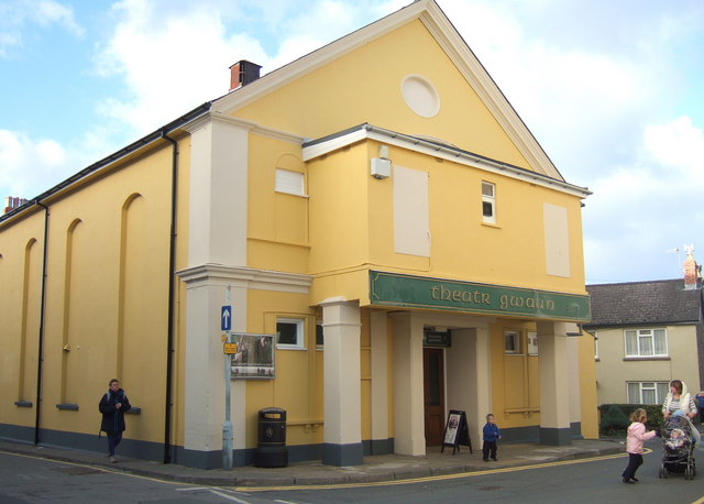
Theatr Gwaun
Theatr Gwaun is a cinema/theatre in Fishguard, Pembrokeshire. Built in 1885 as a Temperance hall, it was briefly converted for use as a school in January...
Nearby Amenities
Located within 500m of 52.002,-4.945Have you been to Castell?
Leave your review of Castell below (or comments, questions and feedback).