Allt Ffos-glai
Wood, Forest in Cardiganshire
Wales
Allt Ffos-glai
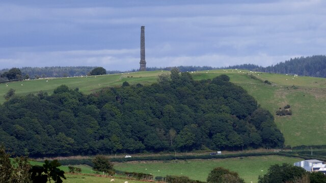
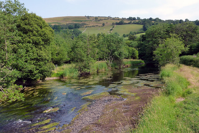
Allt Ffos-glai is a picturesque woodland area located in Cardiganshire, Wales. Spanning over a vast expanse, it is a true haven for nature lovers and outdoor enthusiasts alike. The name Allt Ffos-glai translates to "wood" or "forest" in Welsh, which accurately reflects the landscape and ambiance of the location.
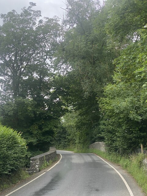
The woodland is characterized by its dense canopy of trees, predominantly composed of native species such as oak, beech, and birch. These towering trees create a serene and tranquil atmosphere, providing shelter for an array of wildlife. Throughout the seasons, the forest showcases a stunning palette of colors, with vibrant greens in spring and summer, transitioning to warm hues of red, orange, and gold in autumn.
A network of walking trails meanders through Allt Ffos-glai, allowing visitors to explore the woodland's beauty at their own pace. These paths offer opportunities for peaceful strolls, invigorating hikes, and even wildlife spotting. The forest is home to a variety of animals, including deer, badgers, foxes, and an assortment of bird species. With a little patience and luck, visitors may catch a glimpse of these creatures in their natural habitat.
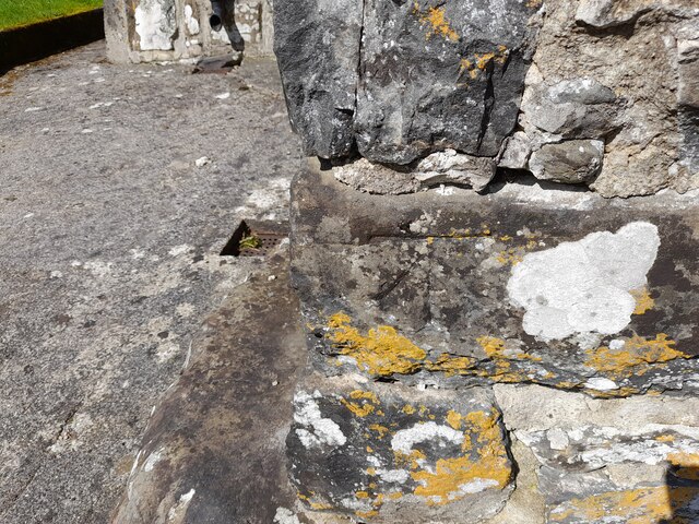
Allt Ffos-glai is not only a place of natural beauty but also holds historical significance. The woodland has remnants of ancient settlements, including old stone walls and the remains of a hillfort. These archaeological features offer a glimpse into the region's past and provide a captivating backdrop for exploration.
Overall, Allt Ffos-glai is a captivating forest landscape that appeals to both nature enthusiasts and history buffs. Its diverse ecosystem, peaceful ambiance, and rich cultural heritage make it a must-visit destination in Cardiganshire.
If you have any feedback on the listing, please let us know in the comments section below.
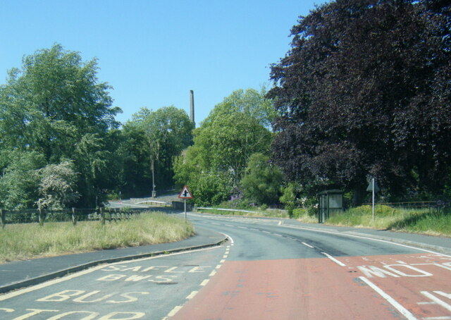
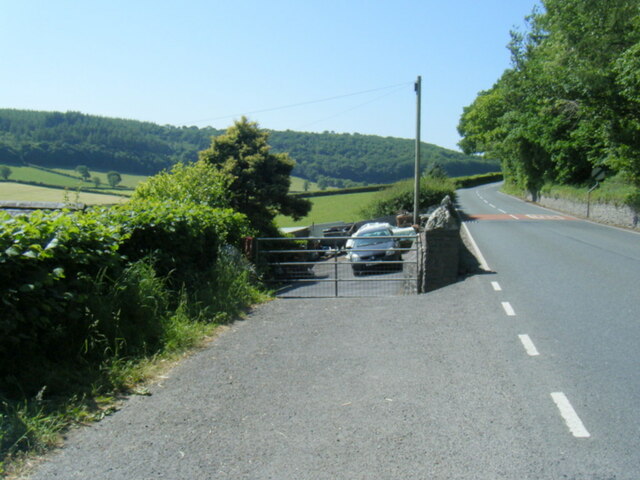
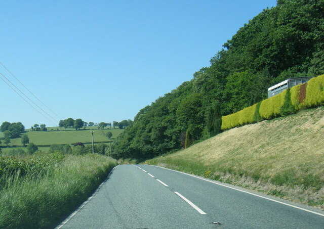
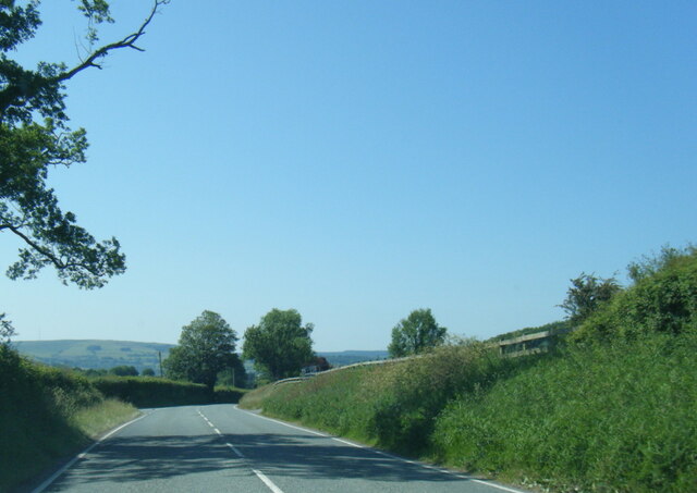
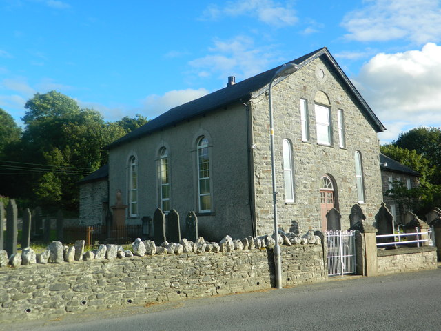
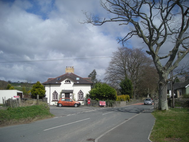
Allt Ffos-glai Images
Images are sourced within 2km of 52.134958/-4.0510536 or Grid Reference SN5950. Thanks to Geograph Open Source API. All images are credited.

Allt Ffos-glai is located at Grid Ref: SN5950 (Lat: 52.134958, Lng: -4.0510536)
Unitary Authority: Ceredigion
Police Authority: Dyfed Powys
What 3 Words
///picture.truffles.conclude. Near Llangybi, Ceredigion
Nearby Locations
Related Wikis

Derry Ormond railway station
Derry Ormond railway station served the hamlet and rural locale of Betws Bledrws near Llangybi, as well as the mansion and estate of Derry Ormond (demolished...

Derry Ormond Tower
Derry Ormond Tower is a Grade II*-listed folly situated above Betws Bledrws, 3 miles (4.8 km) north of Lampeter in the county of Ceredigion, Wales. It...
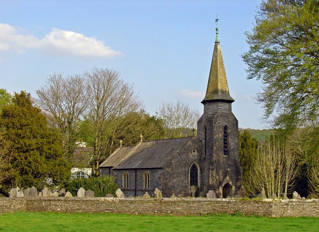
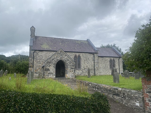
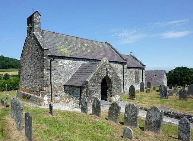
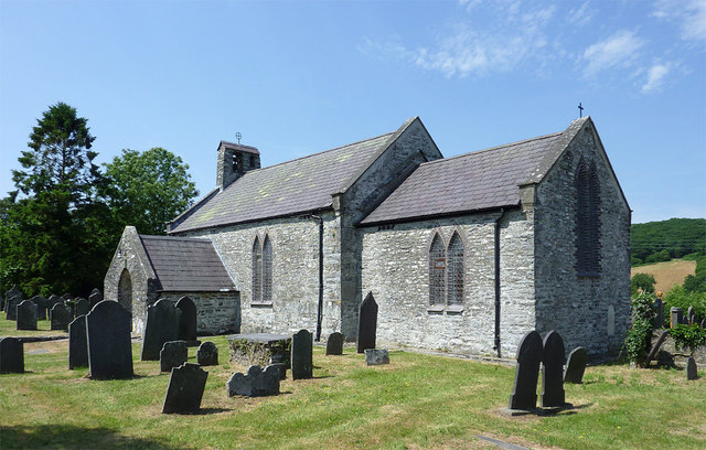
Betws Bledrws Church
The present church of St Bledrws, in the village of Betws Bledrws (sometimes spelt Bettws Bledrws), near Lampeter, Ceredigion, Wales, is a 19th-century...
Betws Bledrws
Betws Bledrws, is a village between Lampeter and Llangybi, Ceredigion, Wales that was also known as Derry Ormond when under the influence of Derry Ormond...

Silian Halt railway station
The Silian Halt railway station was a small railway station at Silian, the first stop after the junction on the Aberayron branch of the Carmarthen to Aberystwyth...

A485 road
The A485 is an A road linking Tanerdy near Carmarthen to Llanfarian near Aberystwyth in Wales. Settlements along the route include: Tanerdy Peniel Rhydargaeau...
Pentrefelin, Ceredigion
Pentrefelin, Ceredigion is a hamlet in the community of Llanfair Clydogau, Ceredigion, Wales, which is 57.3 miles (92.3 km) from Cardiff and 171.9 miles...
Silian, Ceredigion
Silian, originally Sulien, is a village in the valley of the River Teifi, Ceredigion, Wales. It is located approximately two miles north-west of Lampeter...
Have you been to Allt Ffos-glai?
Leave your review of Allt Ffos-glai below (or comments, questions and feedback).