Coed Cae-dû
Wood, Forest in Merionethshire
Wales
Coed Cae-dû
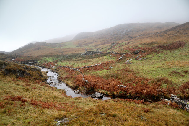
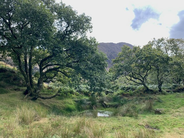
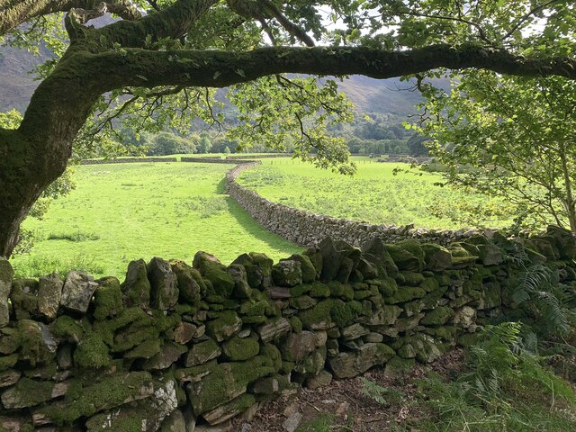
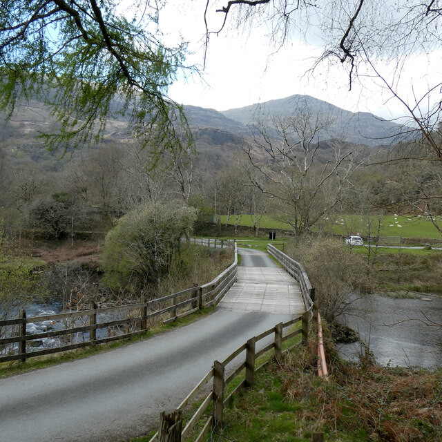
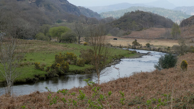
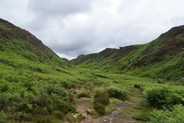
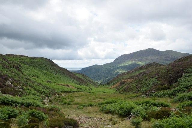
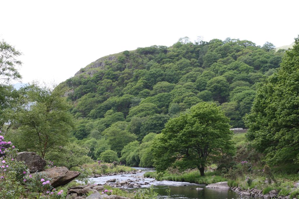
Coed Cae-dû is a picturesque woodland located in Merionethshire, Wales. Spanning over a vast area, this enchanting forest is nestled amidst the stunning Snowdonia National Park. The name "Coed Cae-dû" translates to "Wood, Forest" in English, which aptly describes the natural beauty that awaits visitors.
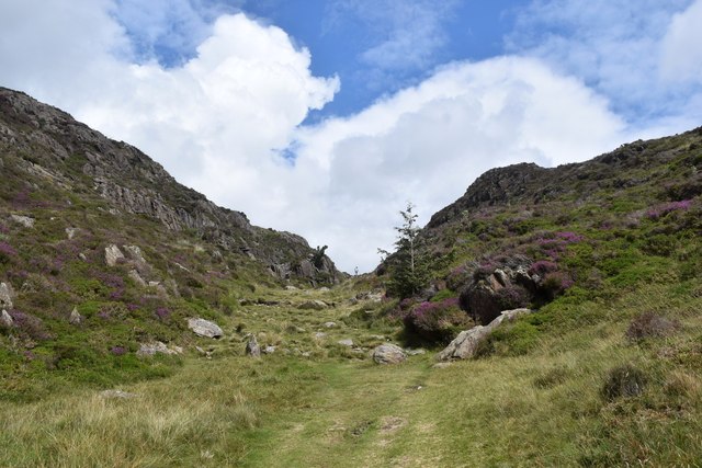
The forest is characterized by its diverse range of flora and fauna, making it a haven for nature enthusiasts. Towering oak, beech, and ash trees dominate the landscape, creating a serene and peaceful atmosphere. The forest floor is adorned with ferns, mosses, and an array of wildflowers, adding vibrant colors to the surroundings.
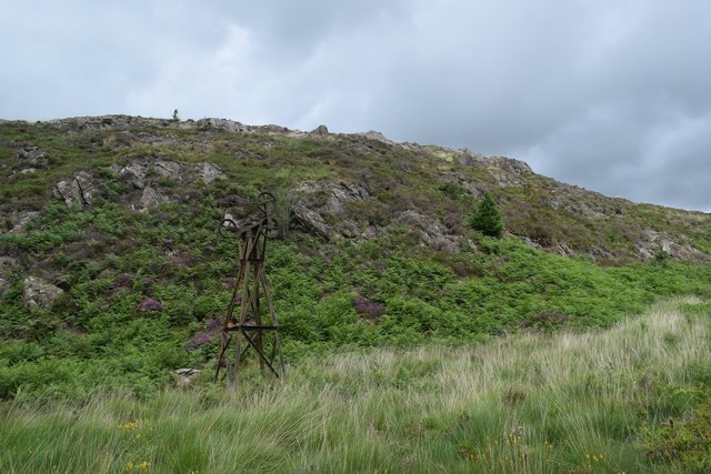
In addition to its natural charm, Coed Cae-dû also holds historical significance. The forest is home to remnants of ancient settlements, including stone circles and burial mounds, providing a glimpse into the area's rich heritage. Exploring these archaeological sites adds an extra layer of intrigue to the overall experience.
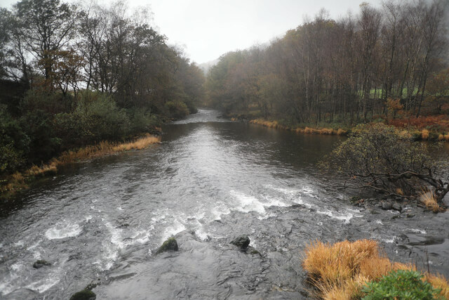
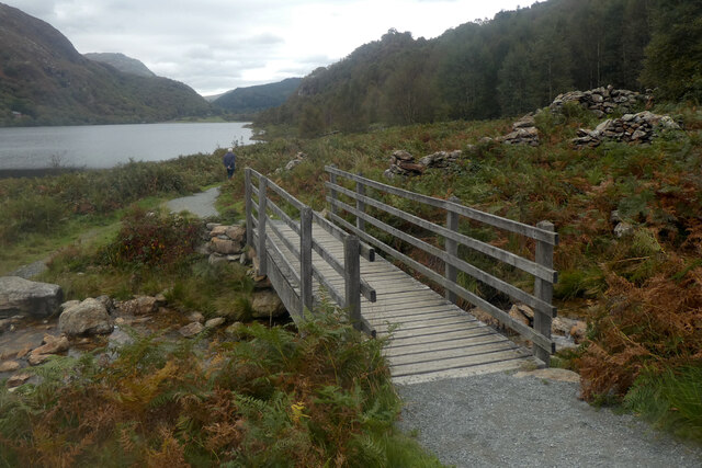
Visitors to Coed Cae-dû can partake in various activities such as hiking, birdwatching, and photography. The forest is crisscrossed by well-maintained trails, allowing visitors to immerse themselves in the tranquil ambiance while discovering hidden gems along the way. The diverse birdlife, including buzzards, woodpeckers, and red kites, makes it a haven for birdwatchers, who can capture these winged wonders in their natural habitat.
Coed Cae-dû is a true gem of Merionethshire, offering a captivating blend of natural beauty and historical significance. Whether seeking solitude in nature or an adventure through the woods, this forest is bound to leave a lasting impression on all who visit.
If you have any feedback on the listing, please let us know in the comments section below.
Coed Cae-dû Images
Images are sourced within 2km of 53.013891/-4.0925643 or Grid Reference SH5948. Thanks to Geograph Open Source API. All images are credited.


Coed Cae-dû is located at Grid Ref: SH5948 (Lat: 53.013891, Lng: -4.0925643)
Unitary Authority: Gwynedd
Police Authority: North Wales
What 3 Words
///taken.opposing.exclusive. Near Penrhyndeudraeth, Gwynedd
Nearby Locations
Related Wikis

A498 road
The A498 is a 16-mile road between Pen-y-Gwryd and Porthmadog in North Wales. At Pen-y-Gwryd, the A4086 Llanberis Pass route bears off to the north. The...
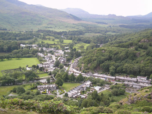
Beddgelert
Beddgelert (Welsh: [bɛðˈgɛlɛrt] ) is a village and community in the Snowdonia area of Gwynedd, Wales. The population of the community taken at the 2011...

Sygun Copper Mine
Sygun Copper Mine is a Victorian copper mine which closed in 1903 but was renovated and reopened by the Amies family as a tourist attraction in 1986, focusing...

Beddgelert Fault
Beddgelert Fault First reported in a Memoir of the British Geological Survey activity ref. Ramsay 1881. It is a SW-NE trending volcanotectonic fault in...
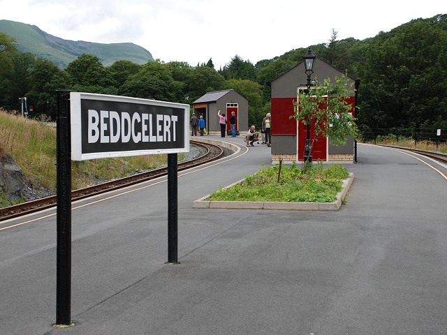
Beddgelert railway station
Beddgelert railway station is a railway station on the narrow gauge Welsh Highland Railway in North Wales. The rebuilt station was officially opened by...
Dinas Emrys
Dinas Emrys (Welsh for 'Emrys's city') is a rocky and wooded hillock near Beddgelert in Gwynedd, north-west Wales. Rising some 76 m (250 ft) above the...

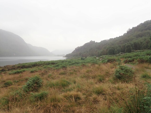
Llyn Dinas
Llyn Dinas is a lake near Beddgelert, Gwynedd in north Wales. It is formed by the River Glaslyn. Llyn Dinas lies on the valley floor a few miles north...

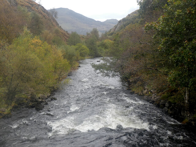
Aberglaslyn Pass
The Aberglaslyn Pass (Welsh: Bwlch Aberglaslyn) is a narrow gorge of considerable beauty in Snowdonia, Gwynedd, north Wales. The A498 road/A4085 road follows...
Nearby Amenities
Located within 500m of 53.013891,-4.0925643Have you been to Coed Cae-dû?
Leave your review of Coed Cae-dû below (or comments, questions and feedback).