Coed Pen-yr-allt

Wood, Forest in Cardiganshire

Wales

Coed Pen-yr-allt

The A487 road passing through Chancery
The A487 road passing through Chancery Credit: Eirian Evans

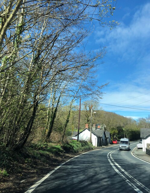
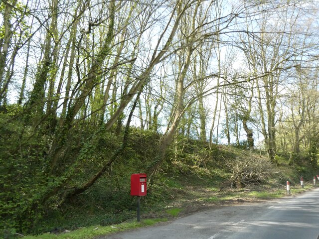
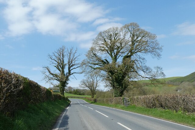
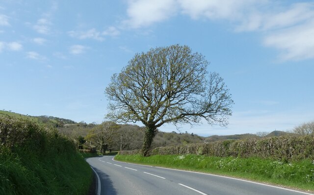
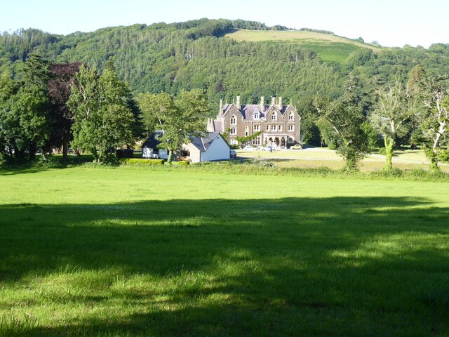
Coed Pen-yr-allt is a picturesque wood located in Cardiganshire, a county in Wales. Situated amidst the stunning natural beauty of the Welsh countryside, it is a popular destination for nature enthusiasts and hikers alike.

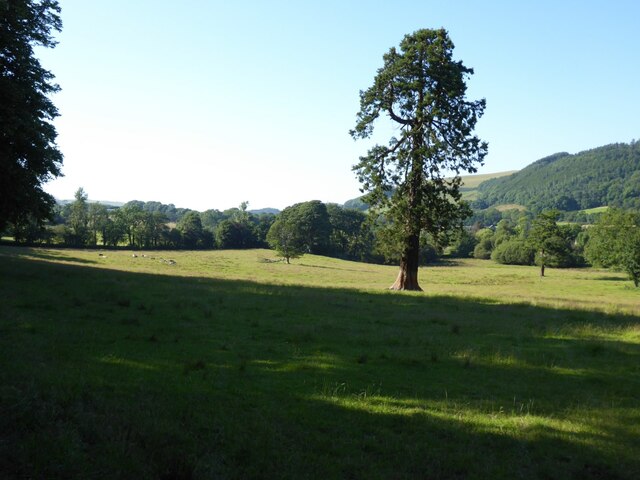
Covering an area of approximately 200 acres, Coed Pen-yr-allt is a thriving forest that boasts a diverse range of flora and fauna. The wood is predominantly comprised of native species such as oak, birch, and beech trees, which create a rich and vibrant canopy overhead. The forest floor is adorned with an array of wildflowers and ferns, adding to the enchanting atmosphere.

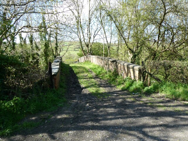
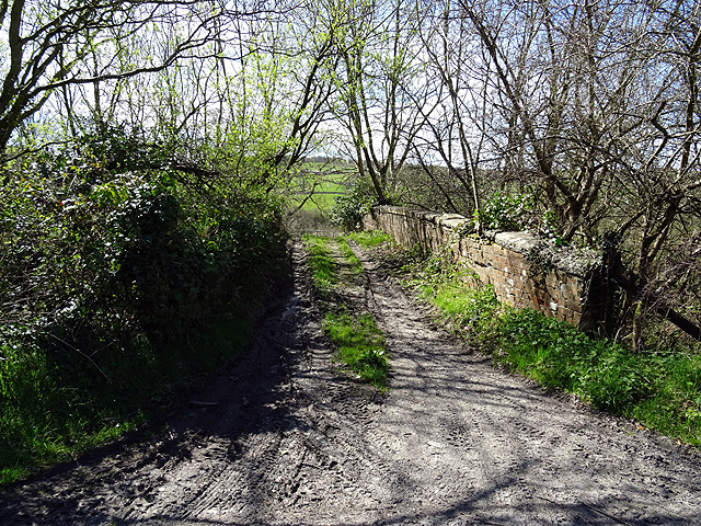
The wood is crisscrossed with a network of well-maintained footpaths, allowing visitors to explore its beauty at their own pace. These paths wind through the forest, leading to scenic viewpoints, tranquil streams, and hidden clearings. Birdwatchers will be delighted to spot various avian species, including woodpeckers, finches, and owls, while small mammals like squirrels and rabbits can also be spotted amidst the trees.

Coed Pen-yr-allt is not only a haven for wildlife but also a place of historical significance. The wood has remnants of ancient monuments and structures, including burial mounds and stone circles, which serve as reminders of the area's rich cultural heritage.

Visitors to Coed Pen-yr-allt can enjoy a peaceful and immersive experience in nature. The wood offers a serene retreat from the hustle and bustle of everyday life, inviting visitors to relax, unwind, and connect with the natural world.

If you have any feedback on the listing, please let us know in the comments section below.

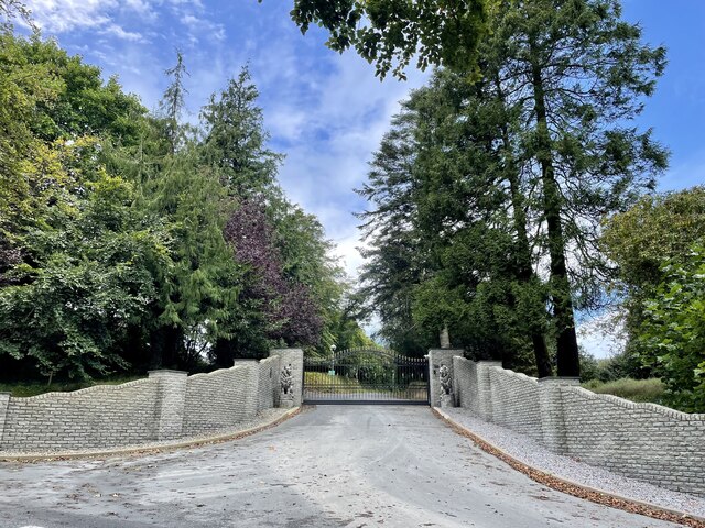
Coed Pen-yr-allt Images

Images are sourced within 2km of 52.354538/-4.0695643 or Grid Reference SN5974. Thanks to Geograph Open Source API. All images are credited.

The A487 road passing through Chancery
Bridge over former railway, near Tynrhelyg This track leads to the river and the site of a ford
Bridge over former railway, near Tynrhelyg
This track leads to the river and the site of a ford
Pull-off for postbox near Glanmad
Trees by A485
Trees by A485
Wildflowers on the verge, by the A485
The entrance to the former Conrah hotel The Conrah was sold four years ago, and this new entrance, complete with walls, ornamental lions, electronic gates and warning signs, was installed to make it quite clear that visitors are no longer welcome.
The entrance to the former Conrah hotel
The Conrah was sold four years ago, and this new entrance, complete with walls, ornamental lions, electronic gates and warning signs, was installed to make it quite clear that visitors are no longer welcome.
Old railway overbridge A farm crossing over the trackbed of the long closed Aberystwyth to Carmarthen railway line. The track also forms a right of way but you will need to don your waders to cross Afon Ystwyth a short distance ahead.
Old railway overbridge
A farm crossing over the trackbed of the long closed Aberystwyth to Carmarthen railway line. The track also forms a right of way but you will need to don your waders to cross Afon Ystwyth a short distance ahead.
Chapel at Blaenplwyf beside the main road Dated 16th August 1878. Its hey day must have been before the Great War and its decline gradual since and now a headlong rush to low attendance now I assume.
Chapel at Blaenplwyf beside the main road
Dated 16th August 1878. Its hey day must have been before the Great War and its decline gradual since and now a headlong rush to low attendance now I assume.
Chancery, Milestone - Aberystwyth 4 The milestone bore an Ordnance Survey benchmark, which was used on the Warrington to Pembroke Docks line of the First Primary Levelling of England & Wales in 1851-1852.  The mark has been erased.  Description: 623. Mark on the 4th milestone from Aberystwyth ; 2.46 ft. above surface.  Page 533 of the abstract: <span class="nowrap"><a title="http://www.trigtools.co.uk/data/1GL/1GLA_533.png" rel="nofollow ugc noopener" href="http://www.trigtools.co.uk/data/1GL/1GLA_533.png">Link</a><img style="margin-left:2px;" alt="External link" title="External link - shift click to open in new window" src="https://s1.geograph.org.uk/img/external.png" width="10" height="10"/></span>  The mark has been erased.
Chancery, Milestone - Aberystwyth 4
The milestone bore an Ordnance Survey benchmark, which was used on the Warrington to Pembroke Docks line of the First Primary Levelling of England & Wales in 1851-1852. The mark has been erased. Description: 623. Mark on the 4th milestone from Aberystwyth ; 2.46 ft. above surface. Page 533 of the abstract: LinkExternal link The mark has been erased.
Ordnance Survey Benchmark - Blaenplwyf Ordnance Survey Benchmark (OSBM) used for levelling height above Ordnance Datum (OD).
It has not been used as a benchmark by the OS for many years.
Ordnance Survey Benchmark - Blaenplwyf
Ordnance Survey Benchmark (OSBM) used for levelling height above Ordnance Datum (OD). It has not been used as a benchmark by the OS for many years.
Abermad House Abermad House is a nursing care home in the Ystwyth valley  For more information see: <a href="https://www.geograph.org.uk/photo/4516251">SN6076 : Abermad House</a>
Abermad House
Abermad House is a nursing care home in the Ystwyth valley For more information see: SN6076 : Abermad House
Parkland in the Ystwyth valley Tree in parkland in Ystwyth valley.
Parkland in the Ystwyth valley
Tree in parkland in Ystwyth valley.
Blaenplwyf Houses in Blaenplwyf on the A487. The village was known as Pont-llanio until 1957.
Blaenplwyf
Houses in Blaenplwyf on the A487. The village was known as Pont-llanio until 1957.
Horses, Glan-rhos Horses on moorland in the bottom of a small valley near Glanrhos. The damp nature of the land is evident.
Horses, Glan-rhos
Horses on moorland in the bottom of a small valley near Glanrhos. The damp nature of the land is evident.
Farmland, Tanchwarel Pasture near Tanchwarel, with conifer plantation of Coed Rhod Mâd on the top of the hill opposite. Looking East.
Farmland, Tanchwarel
Pasture near Tanchwarel, with conifer plantation of Coed Rhod Mâd on the top of the hill opposite. Looking East.
Ruined cottage, Rhyd-y-gwin By a stream at the old ford near Chancery.
Ruined cottage, Rhyd-y-gwin
By a stream at the old ford near Chancery.
Ploughed farmland Recently ploughed farmland to the east of Blaenplwyf
Ploughed farmland
Recently ploughed farmland to the east of Blaenplwyf
Lane looking towards Brynhir farm Looking south along the lane towards Brynhir farm
Lane looking towards Brynhir farm
Looking south along the lane towards Brynhir farm
Show me another place!

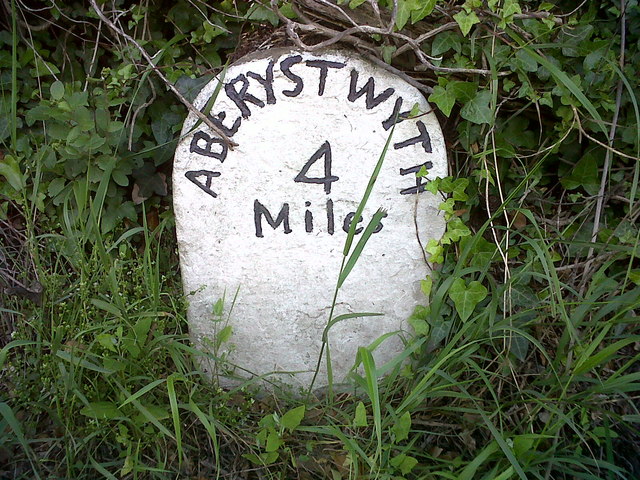
Coed Pen-yr-allt is located at Grid Ref: SN5974 (Lat: 52.354538, Lng: -4.0695643)

Unitary Authority: Ceredigion

Police Authority: Dyfed Powys

What 3 Words

///artichoke.leaflet.ferrets. Near Llanilar, Ceredigion

Related Wikis

Blaenplwyf

Blaenplwyf (Pontllanio previously) is a village in Ceredigion, to the southwest of Aberystwyth. It is noted for the Blaenplwyf transmitting station, which...

Chancery, Ceredigion

Chancery (Welsh: Rhydgaled) is a hamlet in Llanfarian community, in the district county of Ceredigion, Mid-Wales, south of the administrative centre Aberystwyth...

Blaenplwyf transmitting station

The Blaenplwyf transmitting station (sometimes written "Blaen Plwyf" or "Blaen-Plwyf") is a broadcasting and telecommunications facility located near the...

Ystwyth Trail

The Ystwyth Trail is a 21-mile (34 km) multi-use rail trail linking Aberystwyth, Llanfarian, Ystrad Meurig and Tregaron in Ceredigion, Wales. Cycling and...

Llanfarian

Llanfarian is a village, electoral ward and community in the district county of Ceredigion, Mid-Wales, south of the administrative centre Aberystwyth....

Llanrhystyd Road railway station

Llanrhystyd Road railway station was located on the Carmarthen to Aberystwyth Line, originally called the Manchester and Milford Railway, before being...

Rhos Blaen Carrog

Rhos Blaen Carrog is a Site of Special Scientific Interest in Ceredigion, west Wales, due to its population of Wavy St. John's Wort (Hypericum undulatum...

Castle Hill, Ceredigion

Castle Hill is an area and country estate in the community of Llanilar, Ceredigion, Wales, which is 70.2 miles (112.9 km) from Cardiff and 175.8 miles...

Nearby Amenities

Located within 500m of 52.354538,-4.0695643
Place: farm
Lat/Long: 52.3520402/-4.0636726
Place: farm
Lat/Long: 52.3550153/-4.0719123
The data included in this document is from www.openstreetmap.org. The data is made available under ODbL.

Have you been to Coed Pen-yr-allt?

Leave your review of Coed Pen-yr-allt below (or comments, questions and feedback).