Coed Rhod Mâd

Wood, Forest in Cardiganshire

Wales

Coed Rhod Mâd

Pull-off for postbox near Glanmad
Pull-off for postbox near Glanmad Credit: David Smith

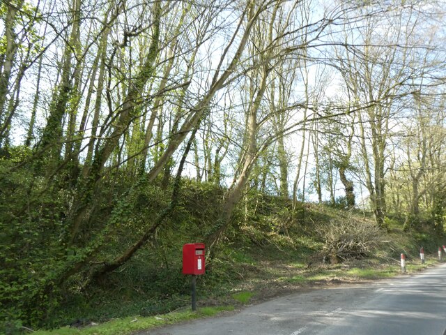
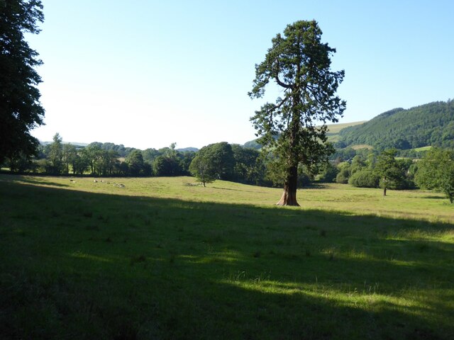
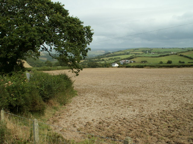
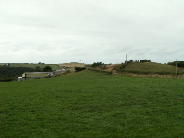
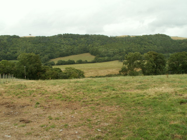
Coed Rhod Mâd, located in Cardiganshire, Wales, is a beautiful woodland area known for its scenic landscapes and rich biodiversity. Covering an area of approximately 500 acres, this forest is a haven for nature enthusiasts and outdoor adventurers.

The wood is predominantly dominated by native tree species such as oak, beech, and ash, which create a dense canopy and provide shelter for a wide variety of flora and fauna. The forest floor is adorned with a diverse range of wildflowers, ferns, and mosses, adding to the enchanting ambiance of the woodland.

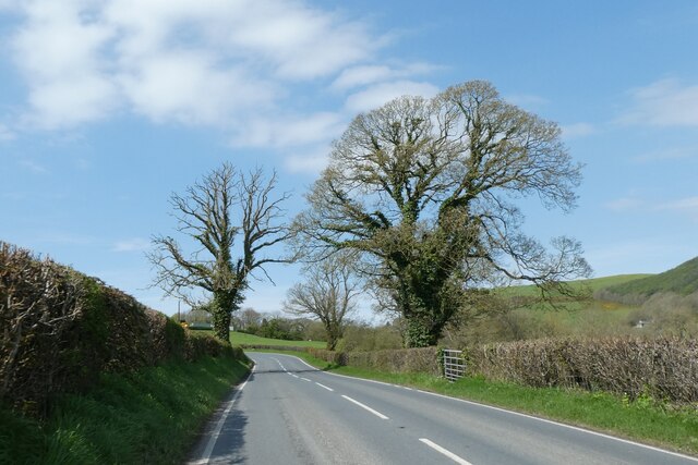
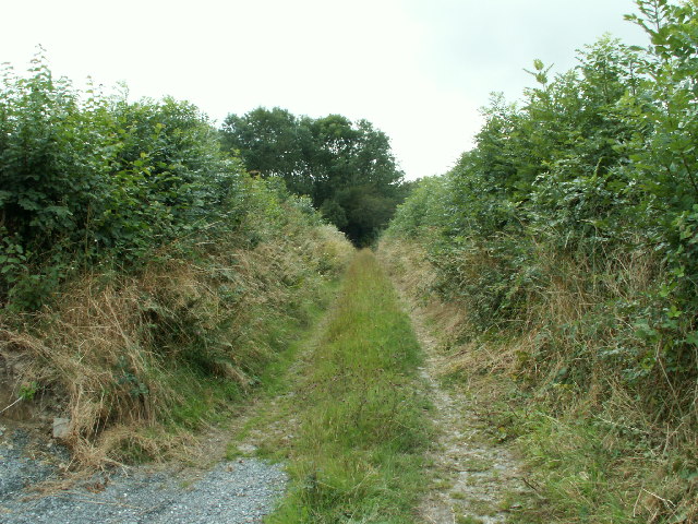
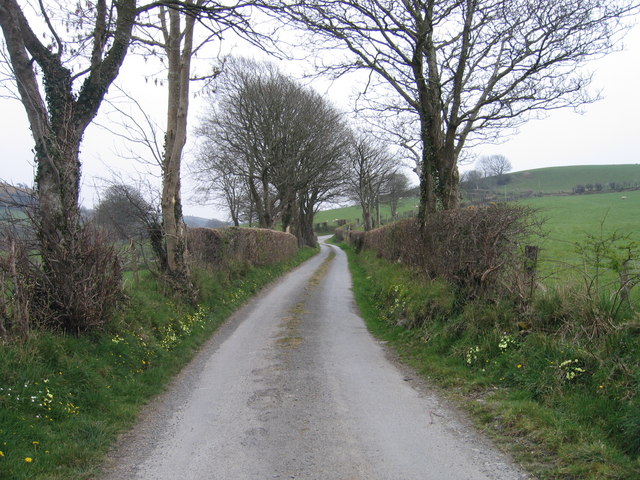
Coed Rhod Mâd is crisscrossed by a network of well-maintained walking trails, allowing visitors to explore the forest at their own pace. These trails offer breathtaking views of the surrounding countryside and lead to hidden gems such as cascading waterfalls and idyllic picnic spots. The forest also boasts a small river that meanders through its heart, providing a tranquil setting for those seeking solace and relaxation.

The woodland is home to an array of wildlife, including deer, badgers, foxes, and a plethora of bird species. Birdwatchers flock to Coed Rhod Mâd to catch sight of elusive species such as the red kite and the pied flycatcher.

Overall, Coed Rhod Mâd is a captivating destination for nature lovers, offering a peaceful retreat from the hustle and bustle of everyday life. Whether it's a leisurely stroll, birdwatching, or simply immersing oneself in the beauty of nature, this woodland has something to offer for everyone.

If you have any feedback on the listing, please let us know in the comments section below.

Coed Rhod Mâd Images

Images are sourced within 2km of 52.352316/-4.0706352 or Grid Reference SN5974. Thanks to Geograph Open Source API. All images are credited.

Pull-off for postbox near Glanmad
Trees by A485
Trees by A485
Chapel at Blaenplwyf beside the main road Dated 16th August 1878. Its hey day must have been before the Great War and its decline gradual since and now a headlong rush to low attendance now I assume.
Chapel at Blaenplwyf beside the main road
Dated 16th August 1878. Its hey day must have been before the Great War and its decline gradual since and now a headlong rush to low attendance now I assume.
Chancery, Milestone - Aberystwyth 4 The milestone bore an Ordnance Survey benchmark, which was used on the Warrington to Pembroke Docks line of the First Primary Levelling of England & Wales in 1851-1852.  The mark has been erased.  Description: 623. Mark on the 4th milestone from Aberystwyth ; 2.46 ft. above surface.  Page 533 of the abstract: <span class="nowrap"><a title="http://www.trigtools.co.uk/data/1GL/1GLA_533.png" rel="nofollow ugc noopener" href="http://www.trigtools.co.uk/data/1GL/1GLA_533.png">Link</a><img style="margin-left:2px;" alt="External link" title="External link - shift click to open in new window" src="https://s1.geograph.org.uk/img/external.png" width="10" height="10"/></span>  The mark has been erased.
Chancery, Milestone - Aberystwyth 4
The milestone bore an Ordnance Survey benchmark, which was used on the Warrington to Pembroke Docks line of the First Primary Levelling of England & Wales in 1851-1852. The mark has been erased. Description: 623. Mark on the 4th milestone from Aberystwyth ; 2.46 ft. above surface. Page 533 of the abstract: LinkExternal link The mark has been erased.
Ordnance Survey Benchmark - Blaenplwyf Ordnance Survey Benchmark (OSBM) used for levelling height above Ordnance Datum (OD).
It has not been used as a benchmark by the OS for many years.
Ordnance Survey Benchmark - Blaenplwyf
Ordnance Survey Benchmark (OSBM) used for levelling height above Ordnance Datum (OD). It has not been used as a benchmark by the OS for many years.
Abermad House Abermad House is a nursing care home in the Ystwyth valley  For more information see: <a href="https://www.geograph.org.uk/photo/4516251">SN6076 : Abermad House</a>
Abermad House
Abermad House is a nursing care home in the Ystwyth valley For more information see: SN6076 : Abermad House
Parkland in the Ystwyth valley Tree in parkland in Ystwyth valley.
Parkland in the Ystwyth valley
Tree in parkland in Ystwyth valley.
Blaenplwyf Houses in Blaenplwyf on the A487. The village was known as Pont-llanio until 1957.
Blaenplwyf
Houses in Blaenplwyf on the A487. The village was known as Pont-llanio until 1957.
Horses, Glan-rhos Horses on moorland in the bottom of a small valley near Glanrhos. The damp nature of the land is evident.
Horses, Glan-rhos
Horses on moorland in the bottom of a small valley near Glanrhos. The damp nature of the land is evident.
Farmland, Tanchwarel Pasture near Tanchwarel, with conifer plantation of Coed Rhod Mâd on the top of the hill opposite. Looking East.
Farmland, Tanchwarel
Pasture near Tanchwarel, with conifer plantation of Coed Rhod Mâd on the top of the hill opposite. Looking East.
Ploughed farmland Recently ploughed farmland to the east of Blaenplwyf
Ploughed farmland
Recently ploughed farmland to the east of Blaenplwyf
Lane looking towards Brynhir farm Looking south along the lane towards Brynhir farm
Lane looking towards Brynhir farm
Looking south along the lane towards Brynhir farm
Farmland, Ochrgader Pasture looking towards Ochrgader farm
Farmland, Ochrgader
Pasture looking towards Ochrgader farm
Trackway, Cwm Perlla Old lane with high hedges on either side
Trackway, Cwm Perlla
Old lane with high hedges on either side
Farmland, Ystywth valley Rough pasture running down to the valley of the Ystwyth SE of Llanfarian. The woodland opposite is on the far side of the river.
Farmland, Ystywth valley
Rough pasture running down to the valley of the Ystwyth SE of Llanfarian. The woodland opposite is on the far side of the river.
Lon Wledig rhwng Llanilar a Llangwyryfon / Country Lane between Llanilar and Llangwyryfon Lon Wledig rhwng Llanilar a Llangwyryfon gyda briallu a bob ochr / Country Lane between Llanilar and Llangwyryfon with primroses on both sides
Lon Wledig rhwng Llanilar a Llangwyryfon / Country Lane between Llanilar and Llangwyryfon
Lon Wledig rhwng Llanilar a Llangwyryfon gyda briallu a bob ochr / Country Lane between Llanilar and Llangwyryfon with primroses on both sides
Coedwig ger Cefngraigwen / Woodland by Cefngraigwen Tir amaethyddol a coedwig ger Cefngraigwen / Woodland and farmland by Cefngraigwen
Coedwig ger Cefngraigwen / Woodland by Cefngraigwen
Tir amaethyddol a coedwig ger Cefngraigwen / Woodland and farmland by Cefngraigwen
Newly built house Curiously shaped house that is nearing completion.
Newly built house
Curiously shaped house that is nearing completion.
Show me another place!

Coed Rhod Mâd is located at Grid Ref: SN5974 (Lat: 52.352316, Lng: -4.0706352)

Unitary Authority: Ceredigion

Police Authority: Dyfed Powys

What 3 Words

///crumble.novels.headstone. Near Llanilar, Ceredigion

Related Wikis

Blaenplwyf

Blaenplwyf (Pontllanio previously) is a village in Ceredigion, to the southwest of Aberystwyth. It is noted for the Blaenplwyf transmitting station, which...

Chancery, Ceredigion

Chancery (Welsh: Rhydgaled) is a hamlet in Llanfarian community, in the district county of Ceredigion, Mid-Wales, south of the administrative centre Aberystwyth...

Blaenplwyf transmitting station

The Blaenplwyf transmitting station (sometimes written "Blaen Plwyf" or "Blaen-Plwyf") is a broadcasting and telecommunications facility located near the...

Rhos Blaen Carrog

Rhos Blaen Carrog is a Site of Special Scientific Interest in Ceredigion, west Wales, due to its population of Wavy St. John's Wort (Hypericum undulatum...

Ystwyth Trail

The Ystwyth Trail is a 21-mile (34 km) multi-use rail trail linking Aberystwyth, Llanfarian, Ystrad Meurig and Tregaron in Ceredigion, Wales. Cycling and...

Llanfarian

Llanfarian is a village, electoral ward and community in the district county of Ceredigion, Mid-Wales, south of the administrative centre Aberystwyth....

Llanrhystyd Road railway station

Llanrhystyd Road railway station was located on the Carmarthen to Aberystwyth Line, originally called the Manchester and Milford Railway, before being...

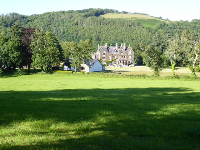
Castle Hill, Ceredigion

Castle Hill is an area and country estate in the community of Llanilar, Ceredigion, Wales, which is 70.2 miles (112.9 km) from Cardiff and 175.8 miles...

Nearby Amenities

Located within 500m of 52.352316,-4.0706352
Place: farm
Lat/Long: 52.3520402/-4.0636726
Place: farm
Lat/Long: 52.3550153/-4.0719123
The data included in this document is from www.openstreetmap.org. The data is made available under ODbL.

Have you been to Coed Rhod Mâd?

Leave your review of Coed Rhod Mâd below (or comments, questions and feedback).