Coed Cae-bryn

Wood, Forest in Anglesey

Wales

Coed Cae-bryn

Old windmill, new use Standing on a low crag in Llangefni, this former windmill is now used for telecommunications.
Old windmill, new use Credit: Gordon Hatton

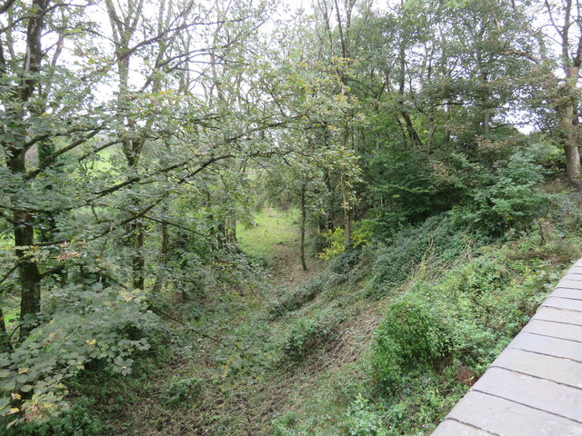
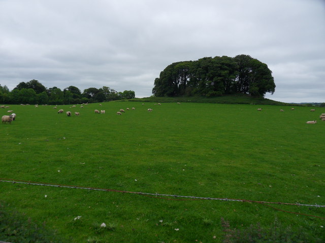
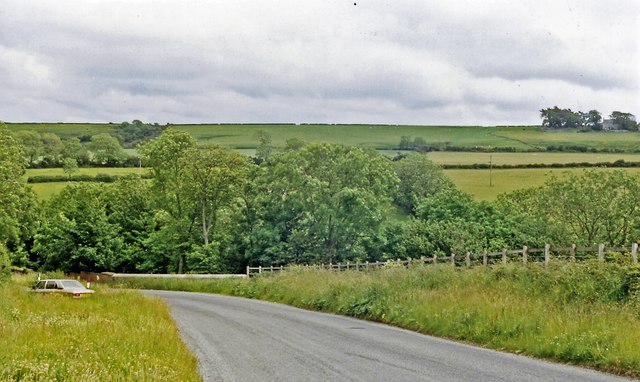
Coed Cae-bryn is a wooded area located in Anglesey, Wales. Stretching over an area of approximately 200 acres, this enchanting forest is known for its natural beauty and diverse ecosystem. The name "Coed Cae-bryn" translates to "Wood, Forest" in English, perfectly capturing the essence of this tranquil paradise.

The forest is predominantly made up of native broadleaf trees such as oak, beech, and birch, which create a dense canopy overhead and provide a haven for various species of birds, insects, and small mammals. The forest floor is covered in a lush carpet of ferns, mosses, and wildflowers, adding to the picturesque scenery.

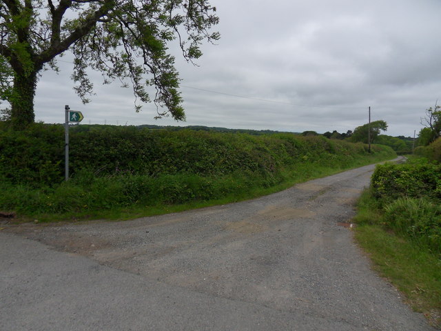
Coed Cae-bryn is a popular destination for nature enthusiasts and hikers, as it offers a network of well-maintained trails that wind through the forest. These trails provide breathtaking views and opportunities to spot wildlife, making it a haven for birdwatchers and photographers alike.

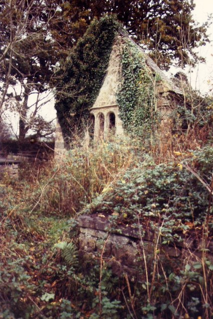
Aside from its natural beauty, Coed Cae-bryn also holds historical significance. There are traces of ancient settlements and burial mounds within the forest, hinting at its long-standing history as a place of human habitation.

The forest is managed by local conservation organizations, who work tirelessly to preserve its natural integrity and protect its inhabitants. Visitors are encouraged to respect the forest's delicate ecosystem by sticking to designated paths and refraining from littering.

Coed Cae-bryn is truly a hidden gem on the island of Anglesey, offering a serene escape into nature for anyone seeking solace and tranquility amidst the stunning Welsh landscape.

If you have any feedback on the listing, please let us know in the comments section below.

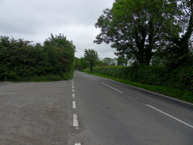
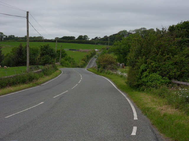
Coed Cae-bryn Images

Images are sourced within 2km of 53.250111/-4.2783251 or Grid Reference SH4874. Thanks to Geograph Open Source API. All images are credited.
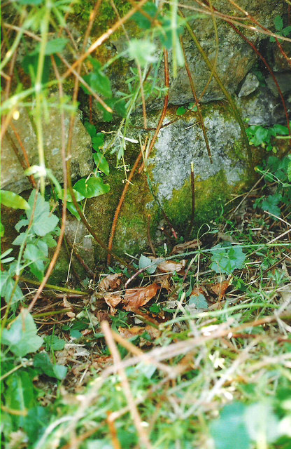
Old windmill, new use Standing on a low crag in Llangefni, this former windmill is now used for telecommunications.
Old windmill, new use
Standing on a low crag in Llangefni, this former windmill is now used for telecommunications.
Old chapel at Talwrn Shown on late 19thC maps as 'Methodist Chapel', the building now appears to be unused, but still in relatively good condition.
Old chapel at Talwrn
Shown on late 19thC maps as 'Methodist Chapel', the building now appears to be unused, but still in relatively good condition.
The site of Ceint station Ceint station platform and shelter were to the left of the picture which is taken from the bridge over the old Red Wharf branch of the London and North Western Railway. That line opened in 1909 and closed just 21 years later.
The site of Ceint station
Ceint station platform and shelter were to the left of the picture which is taken from the bridge over the old Red Wharf branch of the London and North Western Railway. That line opened in 1909 and closed just 21 years later.
Benchmark on old railway bridge, Ceint This benchmark is located on the NW parapet of an old railway bridge in Ceint & it is shown in the current Ordnance Survey database at a height of 53.24918m above the Newlyn datum.
Benchmark on old railway bridge, Ceint
This benchmark is located on the NW parapet of an old railway bridge in Ceint & it is shown in the current Ordnance Survey database at a height of 53.24918m above the Newlyn datum.
Penmynydd Road The B5420 Penmynydd Road, leading from the eastern outskirts of Llangefni in the direction of Porthaethwy (Menai Bridge).
Penmynydd Road
The B5420 Penmynydd Road, leading from the eastern outskirts of Llangefni in the direction of Porthaethwy (Menai Bridge).
Five four two zero The B5420, Penmynydd Road leading from Llangefni.
Five four two zero
The B5420, Penmynydd Road leading from Llangefni.
Wooden Top Wooded coppice at Hirdre - faig farm, alongside the B5420.
Wooden Top
Wooded coppice at Hirdre - faig farm, alongside the B5420.
Penmynydd Path Footpath off Penmynydd Road, B5420, leading to Plas Penmynydd farm.
Penmynydd Path
Footpath off Penmynydd Road, B5420, leading to Plas Penmynydd farm.
Eastward on B5420 at site of Ceint station Nothing to be seen of Ceint station, but it had been on the ex-LNW Holland Arms (right) - Red Wharf Bay (left) branch, closed to passengers 22/9/30, to goods 3/4/50.
Eastward on B5420 at site of Ceint station
Nothing to be seen of Ceint station, but it had been on the ex-LNW Holland Arms (right) - Red Wharf Bay (left) branch, closed to passengers 22/9/30, to goods 3/4/50.
The Ruins of St Mihangel's Church
Melin Wynt Y Graig Thought to have been built in 1829, it closed in 1893. Now used for telecommunications.
Melin Wynt Y Graig
Thought to have been built in 1829, it closed in 1893. Now used for telecommunications.
Bron Alar Top of silage field accessed via private farm track with Paul Webster.
Name: Bron Alar
Hill number: 14844
Height: 64m / 210ft
Parent (Ma/M): 1961  Mynydd Bodafon [Yr Arwydd]
Section: 30A: Anglesey and the Lleyn Peninsula
County/UA: Anglesey [Sir Fon] (CoU)
Maritime Area: North Wales - Anglesey
Island: Anglesey
Class: Tump (0-99m)
Grid ref: SH 49160 76085
Summit feature: no feature: pasture
Drop: 30m
Col: 34m  SH490766
Bron Alar
Top of silage field accessed via private farm track with Paul Webster. Name: Bron Alar Hill number: 14844 Height: 64m / 210ft Parent (Ma/M): 1961 Mynydd Bodafon [Yr Arwydd] Section: 30A: Anglesey and the Lleyn Peninsula County/UA: Anglesey [Sir Fon] (CoU) Maritime Area: North Wales - Anglesey Island: Anglesey Class: Tump (0-99m) Grid ref: SH 49160 76085 Summit feature: no feature: pasture Drop: 30m Col: 34m SH490766
Plas Penmynydd A garden party at Plas Penmynydd.
Plas Penmynydd
A garden party at Plas Penmynydd.
Industrial Estate Road, Llangefni
The remains of St Mihangel's Church, Llanfihangel Ysgeifiog
Cross-incised tombstone within the ruin of St Mihangel's Church, Llanfihangel Ysgeifiog
Gate leading to the ruin of St Mihangel's Church, Llanfihangel Ysgeifiog
Old Milestone by the B5420, Ceint Bridge, east of Llangefni By the B5420, in parish of Llanddyfnan (Anglesey District), Ceint Bridge, set into wall.

Inscription defaced.

Surveyed

Milestone Society National ID: ANG_OHH19.
Old Milestone by the B5420, Ceint Bridge, east of Llangefni
By the B5420, in parish of Llanddyfnan (Anglesey District), Ceint Bridge, set into wall. Inscription defaced. Surveyed Milestone Society National ID: ANG_OHH19.
Show me another place!

Coed Cae-bryn is located at Grid Ref: SH4874 (Lat: 53.250111, Lng: -4.2783251)

Unitary Authority: Isle of Anglesey

Police Authority: North Wales

What 3 Words

///paid.huddling.described. Near Llangefni, Isle of Anglesey

Related Wikis

Hirdre-Faig

Hirdre-Faig or Hirdrefaig is an area in the community of Llanddyfnan, Anglesey, Wales, which is 130.7 miles (210.3 km) from Cardiff and 212.3 miles (341...

Ceint railway station

Ceint railway station was a station in Anglesey, Wales situated on the Red Wharf Bay branch line between Holland Arms and Benllech. It was the first station...

St Ffinan's Church, Llanffinan

St Ffinan's Church, Llanffinan is a small 19th-century parish church built in the Romanesque revival style, in Anglesey, north Wales. There has been a...

Pencraig, Anglesey

Pencraig is an area in the community of Llangefni, Anglesey, Wales, which is 131.6 miles (211.7 km) from Cardiff and 213.4 miles (343.4 km) from London...

Related Videos

A walk around Llangefni, Isle of Anglesey

This is a video made during our holiday on the Isle of Anglesey in Wales, of a walk around the little market town of Llangefni.

Walking in the Anglesey countryside, Wales | Cerdded yn nghefn gwlad Ynys Môn, Cymru

Having a chilled walk on a cold yet sunny Sunday on the backroads of Anglesey in Wales. Mynd am dro ar ddiwrnod oer ond ...

Nearby Amenities

Located within 500m of 53.250111,-4.2783251
Barrier: yes
Lat/Long: 53.2513193/-4.2764563
The data included in this document is from www.openstreetmap.org. The data is made available under ODbL.

Have you been to Coed Cae-bryn?

Leave your review of Coed Cae-bryn below (or comments, questions and feedback).