Tan-yr-allt

Wood, Forest in Carmarthenshire

Wales

Tan-yr-allt

Pompren dros nant / A footbridge over a stream Pompren fach yn rhychwantu nant ddienw.

A small footbridge spans a small unnamed stream.
Pompren dros nant / A footbridge over a stream Credit: Alan Richards

Tan-yr-allt, located in Carmarthenshire, is a serene and picturesque woodland retreat nestled in the heart of the Welsh countryside. Surrounded by lush greenery and towering trees, this secluded haven offers a peaceful escape from the hustle and bustle of modern life.

Spanning over a vast expanse, Tan-yr-allt boasts a diverse range of flora and fauna, making it a paradise for nature enthusiasts. The forest is home to a variety of tree species, including oak, beech, and pine, creating a captivating tapestry of colors throughout the year. Visitors can explore the winding trails that meander through the woodland, immersing themselves in the tranquil atmosphere and admiring the natural beauty that surrounds them.

Tan-yr-allt is not only a haven for nature lovers but also a sanctuary for wildlife. The forest is teeming with an array of animal species, such as deer, foxes, and birds, providing ample opportunities for wildlife spotting and birdwatching. The peaceful ambiance of the woodland makes it an ideal location for those seeking solace and a deeper connection with nature.

Additionally, Tan-yr-allt offers various recreational activities for visitors to enjoy. Whether it's hiking, picnicking, or simply unwinding in the midst of nature, there is something to suit everyone's preferences. The forest also provides an excellent backdrop for photography enthusiasts, with its enchanting landscapes and captivating vistas.

Overall, Tan-yr-allt in Carmarthenshire is a true gem for nature lovers, offering a serene and enchanting escape into the Welsh wilderness. Its diverse flora and fauna, tranquil ambiance, and recreational opportunities make it a must-visit destination for those seeking a rejuvenating and authentic natural experience.

If you have any feedback on the listing, please let us know in the comments section below.
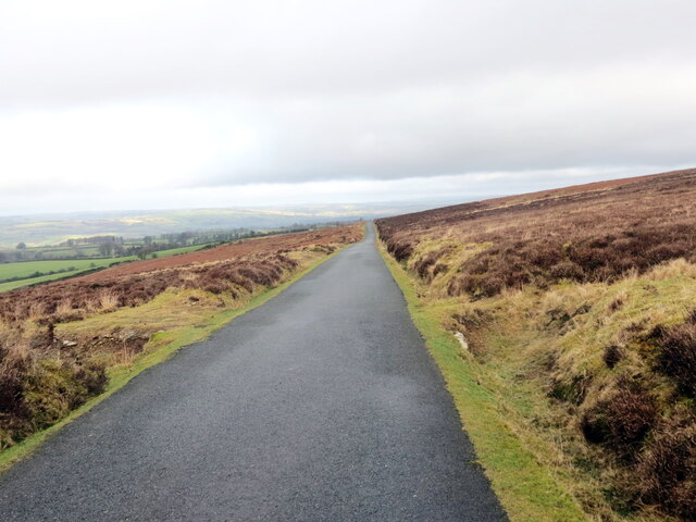
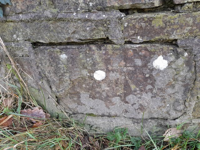
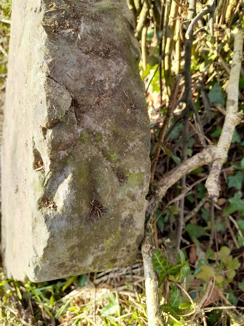
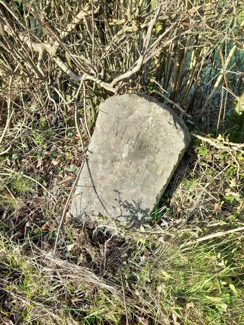
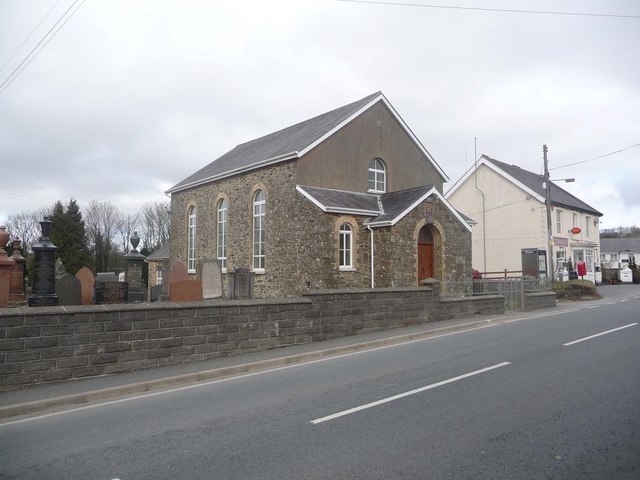
Tan-yr-allt Images

Images are sourced within 2km of 52.023613/-4.2147463 or Grid Reference SN4838. Thanks to Geograph Open Source API. All images are credited.

Pompren dros nant / A footbridge over a stream Pompren fach yn rhychwantu nant ddienw.

A small footbridge spans a small unnamed stream.
Pompren dros nant / A footbridge over a stream
Pompren fach yn rhychwantu nant ddienw. A small footbridge spans a small unnamed stream.
Llwybr yn gadael yr heol / Path exits the road Llwybr troed cyhoeddus yn gadael heol fach ger anhedd-dy o'r enw Hengae.

A public footpath exits a minor road near a property known as Hengae (trans. old field).
Llwybr yn gadael yr heol / Path exits the road
Llwybr troed cyhoeddus yn gadael heol fach ger anhedd-dy o'r enw Hengae. A public footpath exits a minor road near a property known as Hengae (trans. old field).
Llwybr ger Clyn-melyn / Path near Clyn-melyn Llwybr troed cyhoeddus ger anhedd-dy o'r enw Clun-melyn.

A public footpath near a property known as Clun-melyn (trans. yellow / brown meadow).
Llwybr ger Clyn-melyn / Path near Clyn-melyn
Llwybr troed cyhoeddus ger anhedd-dy o'r enw Clun-melyn. A public footpath near a property known as Clun-melyn (trans. yellow / brown meadow).
Heol fach ar Fynydd Llanllwni / Minor road on Mynydd Llanllwni Heol fach ar lethrau Mynydd Llanllwni.

A minor road on the slopes of Mynydd Llanllwni (trans. St Llwni's parish mountain).
Heol fach ar Fynydd Llanllwni / Minor road on Mynydd Llanllwni
Heol fach ar lethrau Mynydd Llanllwni. A minor road on the slopes of Mynydd Llanllwni (trans. St Llwni's parish mountain).
Ordnance Survey Cut Mark This OS cut mark can be found on the wall SW side of the road. It marks a point 174.928m above mean sea level.
Ordnance Survey Cut Mark
This OS cut mark can be found on the wall SW side of the road. It marks a point 174.928m above mean sea level.
Ordnance Survey Pivot This OS pivot can be found on the milestone NW side of the road. It marks a point 176.311m above mean sea level. <a title="https://www.geograph.org.uk/photo/7400908" href="https://www.geograph.org.uk/photo/7400908">Link</a>
Ordnance Survey Pivot
This OS pivot can be found on the milestone NW side of the road. It marks a point 176.311m above mean sea level. Link
Milestone - Carmarthen 13 Badly leaning now. There is an Ordnance Survey pivot on the top of the stone. <a title="https://www.geograph.org.uk/photo/7400904" href="https://www.geograph.org.uk/photo/7400904">Link</a>
Milestone - Carmarthen 13
Badly leaning now. There is an Ordnance Survey pivot on the top of the stone. Link
Ordnance Survey Cut Mark This OS cut mark can be found on the roadside barn at Plasbach. It marks a point 168.589m above mean sea level.
Ordnance Survey Cut Mark
This OS cut mark can be found on the roadside barn at Plasbach. It marks a point 168.589m above mean sea level.
Ordnance Survey Cut Mark This OS cut mark can be found on the churn stand east side of the road. It marks a point 146.387m above mean sea level. <a title="https://www.geograph.org.uk/photo/7401069" href="https://www.geograph.org.uk/photo/7401069">Link</a>
Ordnance Survey Cut Mark
This OS cut mark can be found on the churn stand east side of the road. It marks a point 146.387m above mean sea level. Link
Churn Stand There is an Ordnance Survey cut mark on the front of the stand. <a title="https://www.geograph.org.uk/photo/7401064" href="https://www.geograph.org.uk/photo/7401064">Link</a>
Churn Stand
There is an Ordnance Survey cut mark on the front of the stand. Link
Ordnance Survey Cut Mark This OS cut mark can be found on the gatepost SW side of the road. It marks a point 169.417m above mean sea level.
Ordnance Survey Cut Mark
This OS cut mark can be found on the gatepost SW side of the road. It marks a point 169.417m above mean sea level.
Ordnance Survey Cut Mark This OS cut mark can be found on a small building at Cwm Farm. It marks a point 189.530m above mean sea level.
Ordnance Survey Cut Mark
This OS cut mark can be found on a small building at Cwm Farm. It marks a point 189.530m above mean sea level.
Ordnance Survey Cut Mark This OS cut mark can be found on the house NW side of the road. It marks a point 185.941m above mean sea level.
Ordnance Survey Cut Mark
This OS cut mark can be found on the house NW side of the road. It marks a point 185.941m above mean sea level.
Castell Nonni An ancient motte.
Castell Nonni
An ancient motte.
Power lines
Power lines
Looking towards Mynydd Llanllwni
Down the bridleway
Down the bridleway
Celtic Classics Classic car showroom.
Celtic Classics
Classic car showroom.
Show me another place!

Tan-yr-allt is located at Grid Ref: SN4838 (Lat: 52.023613, Lng: -4.2147463)

Unitary Authority: Carmarthenshire

Police Authority: Dyfed Powys

What 3 Words

///removing.notifying.drives. Near Pencader, Carmarthenshire

Related Wikis

Llanllwni

Llanllwni is a village and community in Carmarthenshire, Wales, on the A485 road south-west of Llanybydder. To the south lies the mountain, Mynydd Llanllwni...

New Inn, Carmarthenshire

New Inn is a small village located in Carmarthenshire, Wales with a population of 348. It is situated along the A485 A road between Llanllwni and Gwyddgrug...

Maesycrugiau railway station

Maesycrugiau railway station also Maes-y-crugiau railway station served the hamlet and rural locale of Maesycrugiau near Llanllwni on the Carmarthen Aberystwyth...

Llanfihangel-ar-Arth

Llanfihangel-ar-Arth is a village and community in the county of Carmarthenshire, Wales. The area includes six villages: Alltwalis, Dolgran, Gwyddgrug...

Gwyddgrug

Gwyddgrug is a small village in Carmarthenshire, West Wales. It is located on the main A485 road south of New Inn. == References ==

Aber-giar

Aber-giar (Welsh: Abergiâr) is a village in the community of Llanllwni in Carmarthenshire, Wales.

Waunifor

Waunifor or Waun Ifor (Welsh: "Ifor's Meadow") is a historic estate, once the seat of the Lloyd and Bowen families, located in the small village community...

Blaenborthyn

Blaenborthyn is a small village in the community of Llandysul, Ceredigion, Wales, which is 60.4 miles (97.2 km) from Cardiff and 179.9 miles (289.5 km...

Nearby Amenities

Located within 500m of 52.023613,-4.2147463
Power: pole
Lat/Long: 52.023978/-4.2075579
Power: pole
Lat/Long: 52.0233888/-4.2103107
Power: pole
Lat/Long: 52.022889/-4.2124223
Power: pole
Lat/Long: 52.0224576/-4.2142518
Power: pole
Lat/Long: 52.0220192/-4.2161953
Power: pole
Lat/Long: 52.0214704/-4.2186119
Give Way
Direction: backward
Lat/Long: 52.0277789/-4.2128513
The data included in this document is from www.openstreetmap.org. The data is made available under ODbL.

Have you been to Tan-yr-allt?

Leave your review of Tan-yr-allt below (or comments, questions and feedback).