Hirdre-faig
Settlement in Anglesey
Wales
Hirdre-faig
Hirdre-faig is a small village located on the island of Anglesey in North Wales, United Kingdom. Situated approximately 2 miles south of the town of Llangefni, it is nestled in the picturesque countryside of the island. The village is surrounded by rolling hills, farmlands, and offers stunning views of the Snowdonia mountain range.
Hirdre-faig is a close-knit community with a population of around 100 residents. The village mainly consists of traditional Welsh stone cottages, giving it a charming and quaint atmosphere. The local economy is primarily based on agriculture, with many residents working in farming or related industries.
Despite its small size, Hirdre-faig has a strong sense of community and offers a few amenities for its residents. These include a village hall, where various events and gatherings are held throughout the year, creating opportunities for social interaction and community engagement. The village is also home to a small primary school, which serves the local children.
The surrounding area offers ample opportunities for outdoor activities and exploration. There are several walking and cycling trails nearby, allowing visitors to enjoy the stunning natural beauty of Anglesey. The village is also conveniently located within a short drive of popular tourist destinations on the island, such as the stunning beaches of Newborough and the historical town of Beaumaris.
In summary, Hirdre-faig is a charming and tranquil village located in the heart of Anglesey. With its beautiful countryside, strong community spirit, and proximity to both nature and popular attractions, it offers a peaceful and idyllic place to live or visit.
If you have any feedback on the listing, please let us know in the comments section below.
Hirdre-faig Images
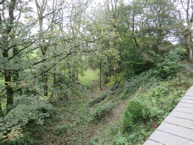
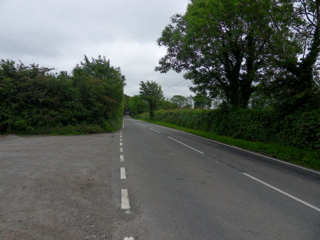
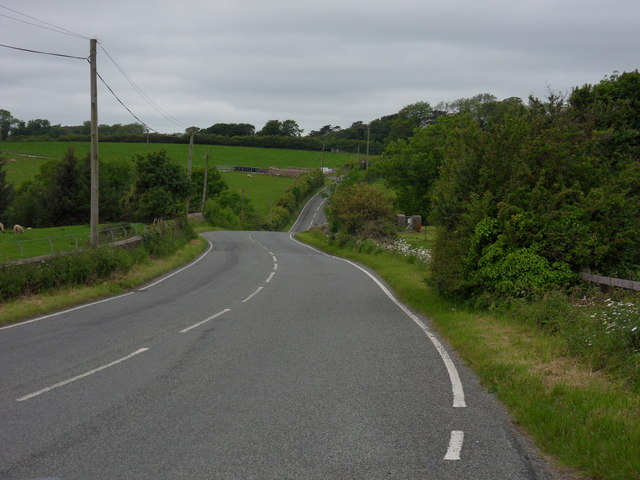
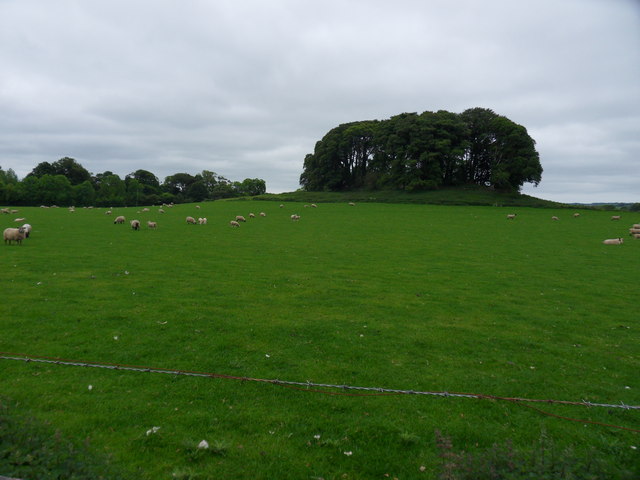
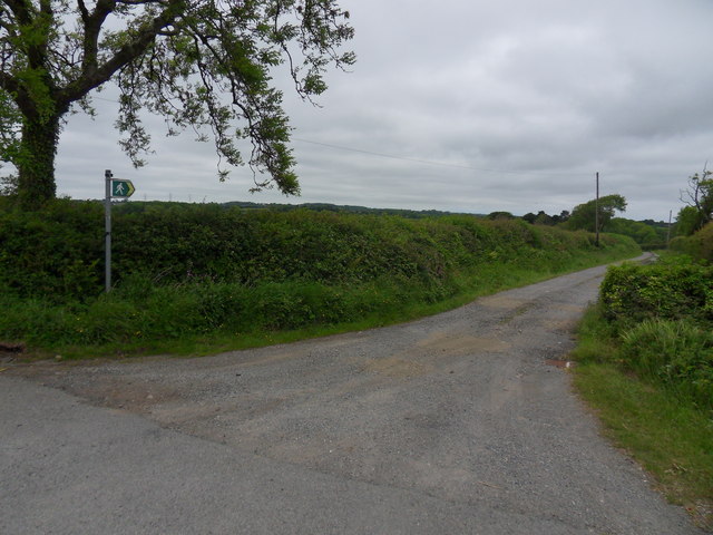
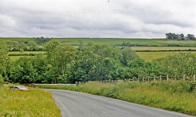
Images are sourced within 2km of 53.248158/-4.277076 or Grid Reference SH4874. Thanks to Geograph Open Source API. All images are credited.
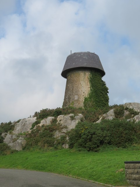
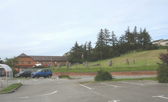
![Bron Alar Top of silage field accessed via private farm track with Paul Webster.
Name: Bron Alar
Hill number: 14844
Height: 64m / 210ft
Parent (Ma/M): 1961 Mynydd Bodafon [Yr Arwydd]
Section: 30A: Anglesey and the Lleyn Peninsula
County/UA: Anglesey [Sir Fon] (CoU)
Maritime Area: North Wales - Anglesey
Island: Anglesey
Class: Tump (0-99m)
Grid ref: SH 49160 76085
Summit feature: no feature: pasture
Drop: 30m
Col: 34m SH490766](https://s3.geograph.org.uk/geophotos/04/61/71/4617131_10607a82.jpg)


Hirdre-faig is located at Grid Ref: SH4874 (Lat: 53.248158, Lng: -4.277076)
Unitary Authority: Isle of Anglesey
Police Authority: North Wales
What 3 Words
///estimates.ruling.dorms. Near Llangefni, Isle of Anglesey
Nearby Locations
Related Wikis

Hirdre-Faig
Hirdre-Faig or Hirdrefaig is an area in the community of Llanddyfnan, Anglesey, Wales, which is 130.7 miles (210.3 km) from Cardiff and 212.3 miles (341...

Ceint railway station
Ceint railway station was a station in Anglesey, Wales situated on the Red Wharf Bay branch line between Holland Arms and Benllech. It was the first station...
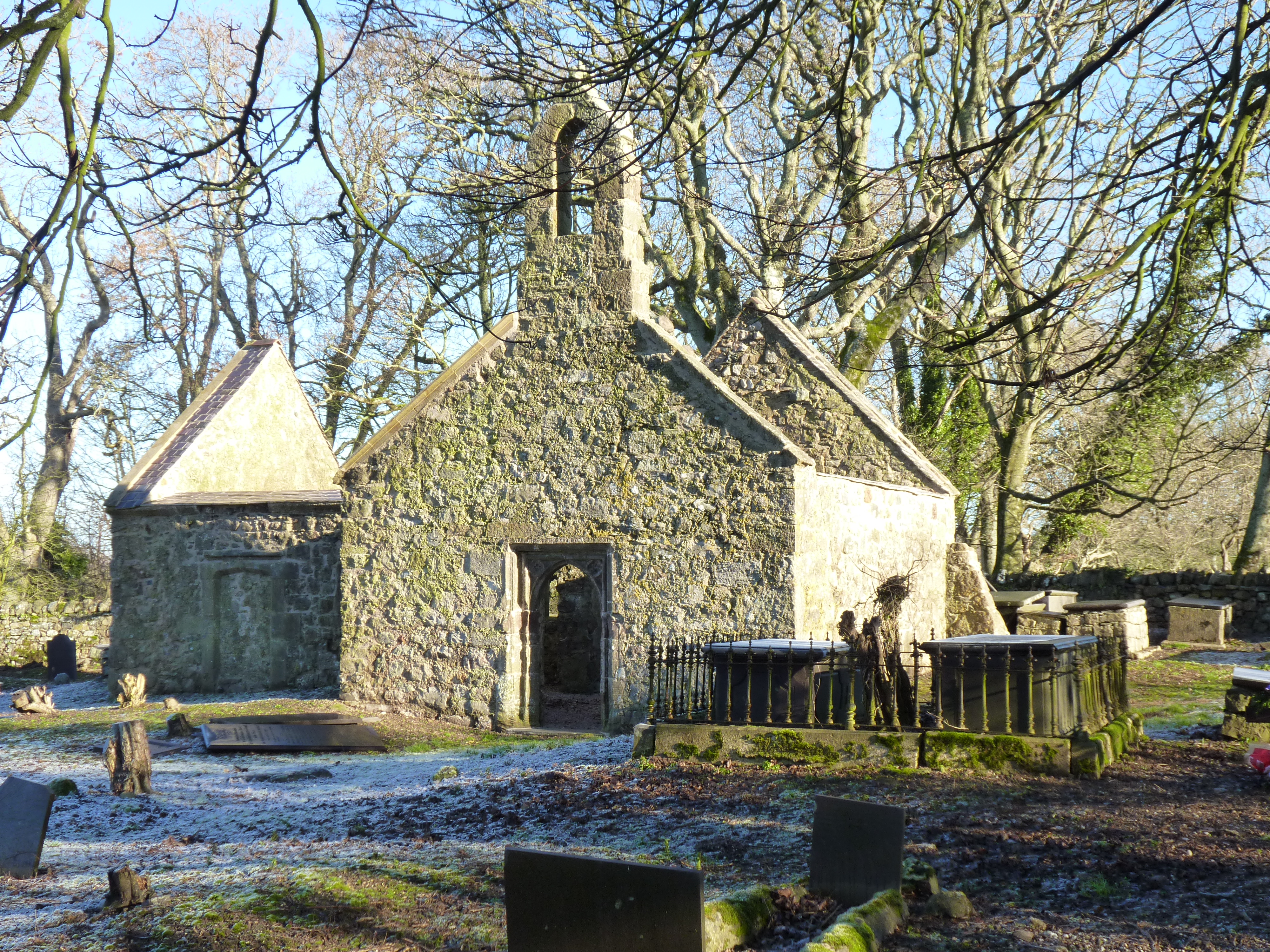
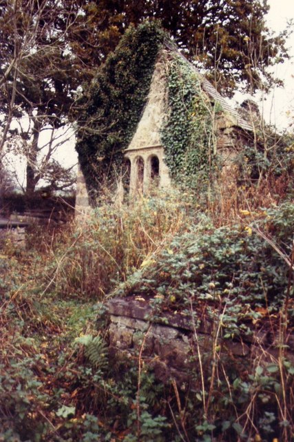
St Michael's Church, Llanfihangel Ysgeifiog
St Michael's Church, Llanfihangel Ysgeifiog, is a former parish church in Anglesey, Wales, which is now closed and in ruins. The structure dates from the...

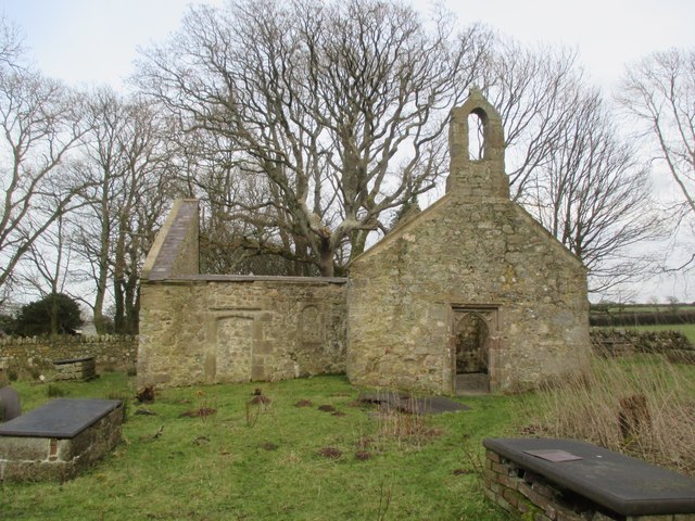
St Ffinan's Church, Llanffinan
St Ffinan's Church, Llanffinan is a small 19th-century parish church built in the Romanesque revival style, in Anglesey, north Wales. There has been a...
Pencraig, Anglesey
Pencraig is an area in the community of Llangefni, Anglesey, Wales, which is 131.6 miles (211.7 km) from Cardiff and 213.4 miles (343.4 km) from London...
Cefni Hospital
Cefni Hospital (Welsh: Ysbyty Cefni) is a health facility in Llangefni, Anglesey, Wales. It is managed by the Betsi Cadwaladr University Health Board....
Rhyd-y-Saint railway station
Rhyd-y-Saint railway station was situated on the Red Wharf Bay branch line between Holland Arms railway station and Benllech, the second station after...
Llangefni Town F.C.
Llangefni Town Football Club (Welsh: Clwb Pêl-droed Tref Llangefni) are a Welsh football team based in Llangefni on Anglesey. They play in the Ardal NW...
Nearby Amenities
Located within 500m of 53.248158,-4.277076Have you been to Hirdre-faig?
Leave your review of Hirdre-faig below (or comments, questions and feedback).