Ceint
Settlement in Anglesey
Wales
Ceint

The requested URL returned error: 429 Too Many Requests
If you have any feedback on the listing, please let us know in the comments section below.
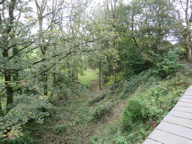
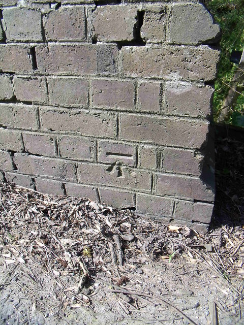
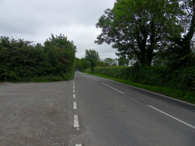
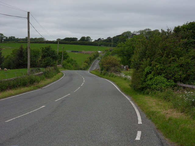
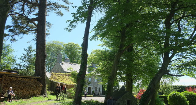
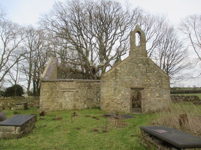
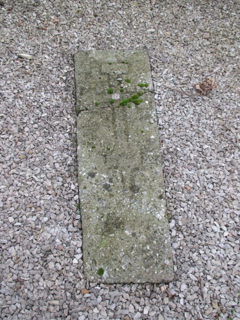
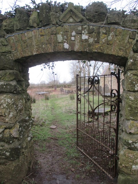
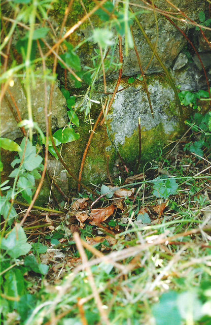
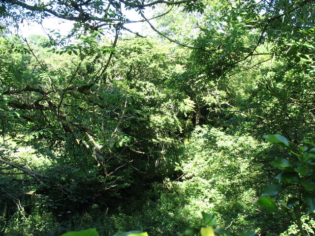
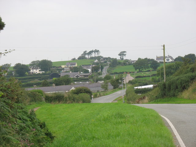
Ceint Images
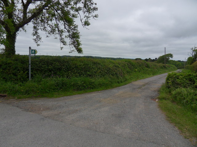
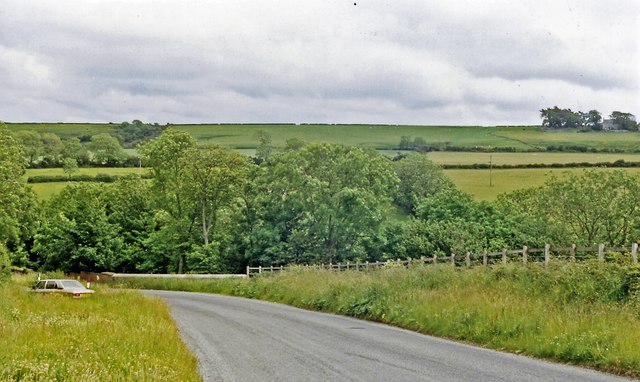
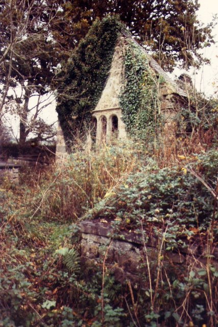
Images are sourced within 2km of 53.249383/-4.2651399 or Grid Reference SH4874. Thanks to Geograph Open Source API. All images are credited.
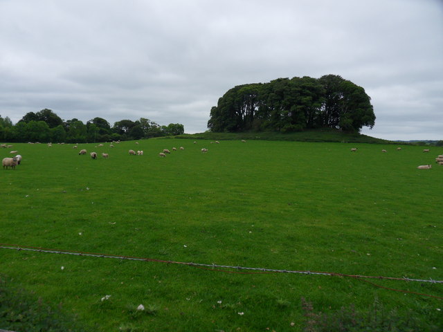
![Bron Alar Top of silage field accessed via private farm track with Paul Webster.
Name: Bron Alar
Hill number: 14844
Height: 64m / 210ft
Parent (Ma/M): 1961 Mynydd Bodafon [Yr Arwydd]
Section: 30A: Anglesey and the Lleyn Peninsula
County/UA: Anglesey [Sir Fon] (CoU)
Maritime Area: North Wales - Anglesey
Island: Anglesey
Class: Tump (0-99m)
Grid ref: SH 49160 76085
Summit feature: no feature: pasture
Drop: 30m
Col: 34m SH490766](https://s3.geograph.org.uk/geophotos/04/61/71/4617131_10607a82.jpg)


Ceint is located at Grid Ref: SH4874 (Lat: 53.249383, Lng: -4.2651399)
Unitary Authority: Isle of Anglesey
Police Authority: North Wales
What 3 Words
///blanked.cheesy.toasters. Near Llangefni, Isle of Anglesey
Nearby Locations
Related Wikis

Ceint railway station
Ceint railway station was a station in Anglesey, Wales situated on the Red Wharf Bay branch line between Holland Arms and Benllech. It was the first station...

St Ffinan's Church, Llanffinan
St Ffinan's Church, Llanffinan is a small 19th-century parish church built in the Romanesque revival style, in Anglesey, north Wales. There has been a...

Hirdre-Faig
Hirdre-Faig or Hirdrefaig is an area in the community of Llanddyfnan, Anglesey, Wales, which is 130.7 miles (210.3 km) from Cardiff and 212.3 miles (341...
Rhyd-y-Saint railway station
Rhyd-y-Saint railway station was situated on the Red Wharf Bay branch line between Holland Arms railway station and Benllech, the second station after...
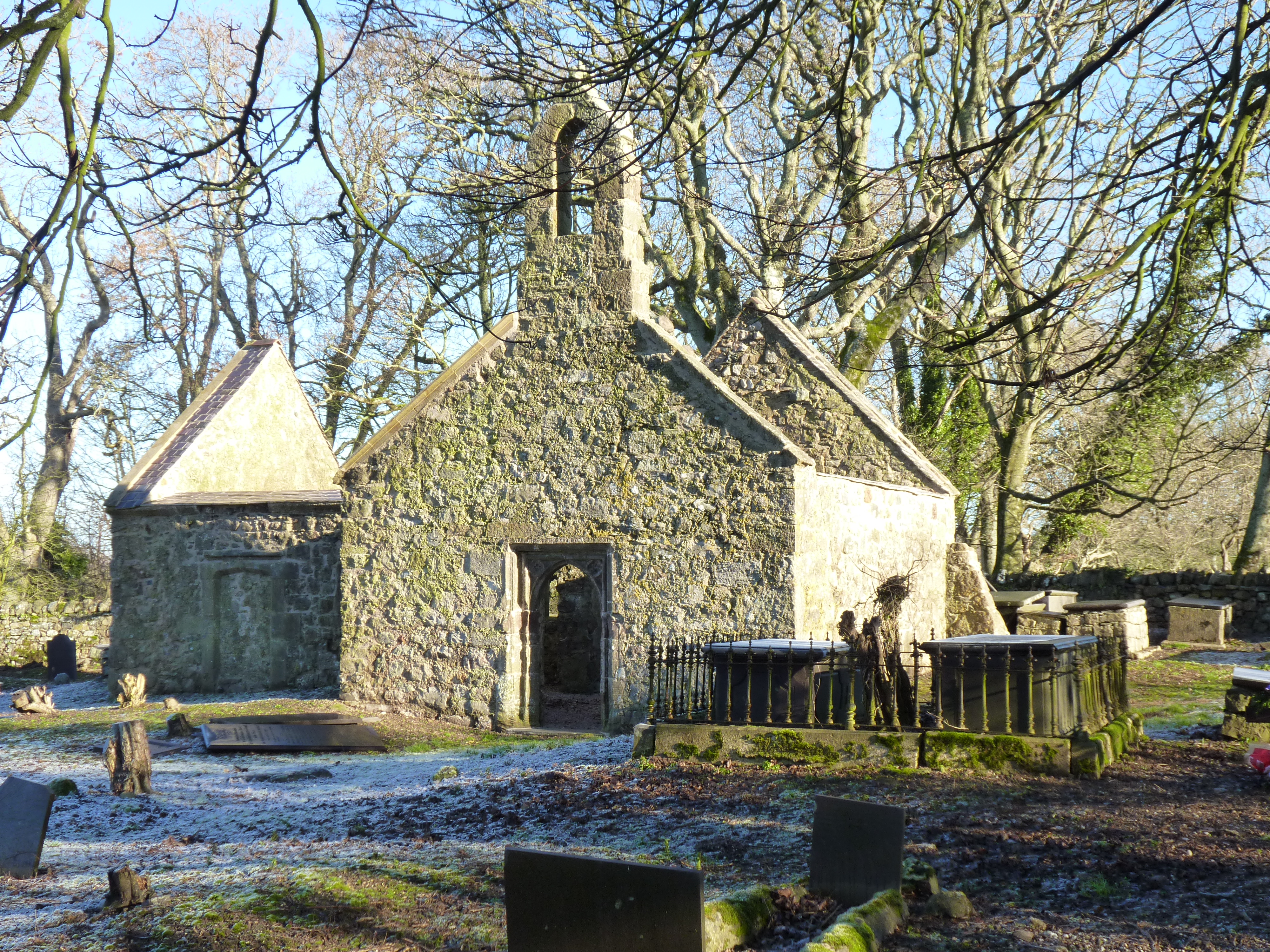
St Michael's Church, Llanfihangel Ysgeifiog
St Michael's Church, Llanfihangel Ysgeifiog, is a former parish church in Anglesey, Wales, which is now closed and in ruins. The structure dates from the...
Penmynydd
Penmynydd ( pen-MUN-idh, Welsh: [pɛnˈmənɪð] ), meaning "top of the mountain" in Welsh, is a village and community on Anglesey, Wales. It is known for being...

Talwrn
Talwrn is a small village between the county town of Llangefni and Pentraeth on the Isle of Anglesey, north Wales. Talwrn is most notable for the Grade...
Pencraig, Anglesey
Pencraig is an area in the community of Llangefni, Anglesey, Wales, which is 131.6 miles (211.7 km) from Cardiff and 213.4 miles (343.4 km) from London...
Nearby Amenities
Located within 500m of 53.249383,-4.2651399Have you been to Ceint?
Leave your review of Ceint below (or comments, questions and feedback).