Ponds Wood

Wood, Forest in Cardiganshire

Wales

Ponds Wood

Harvesting silage, between Llanwenog and  Brynteg
Harvesting silage, between Llanwenog and Brynteg Credit: John Lord

Ponds Wood, located in Cardiganshire, is a picturesque forest encompassing an area of approximately 50 hectares. Nestled in the heart of the Welsh countryside, this woodland boasts a diverse range of flora and fauna, making it a haven for nature lovers and outdoor enthusiasts alike.

The wood is primarily composed of deciduous trees, including oak, beech, and birch, which create a beautiful canopy of foliage during the summer months. In addition to the towering trees, Ponds Wood is also home to a variety of smaller plants such as bluebells, wild garlic, and ferns, which carpet the forest floor, adding to its enchanting appeal.

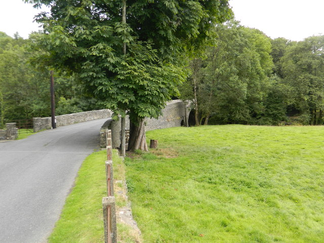
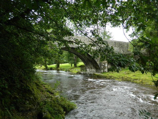
The forest is crisscrossed by a network of well-maintained walking trails, offering visitors the opportunity to explore its natural beauty at their own pace. These trails provide stunning views of the surrounding countryside and lead to several tranquil ponds, from which the wood takes its name.

Ponds Wood is not only a haven for plant life but also supports a diverse array of wildlife. Birdwatchers can spot an assortment of species, including woodpeckers, nuthatches, and owls, while small mammals such as badgers, foxes, and squirrels can also be observed in their natural habitat.

The wood is managed by a local conservation organization, which ensures the preservation of its unique ecosystem. Educational events and activities are regularly organized to raise awareness about the importance of maintaining biodiversity and protecting natural habitats.

Ponds Wood, with its serene ambiance and rich biodiversity, offers a tranquil escape from the hustle and bustle of city life, inviting visitors to connect with nature and immerse themselves in its natural wonders.

If you have any feedback on the listing, please let us know in the comments section below.
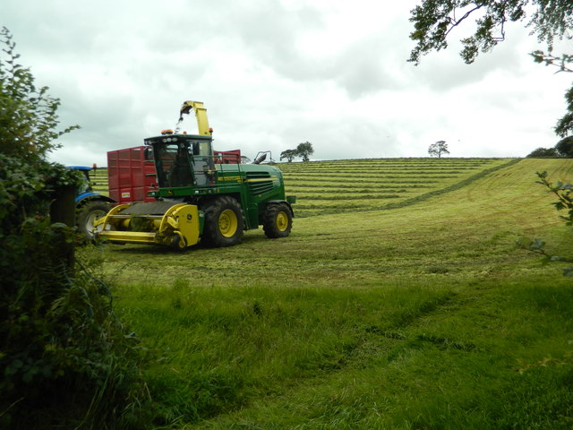
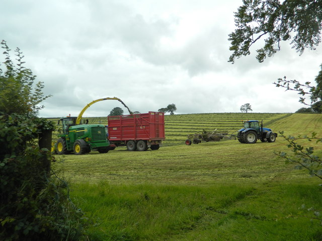
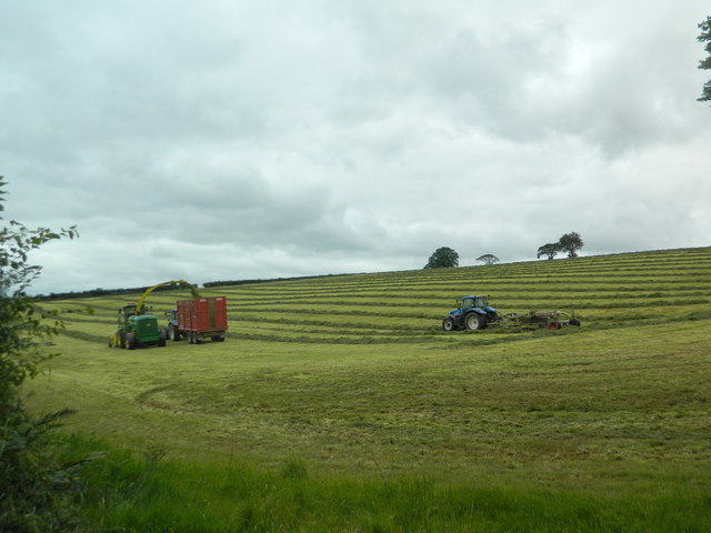
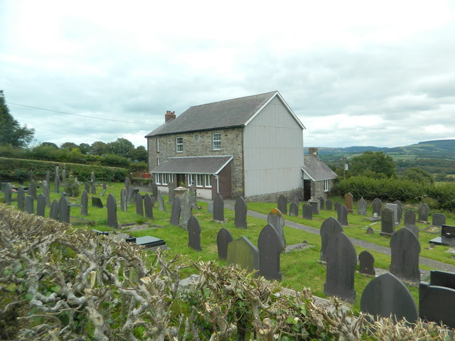
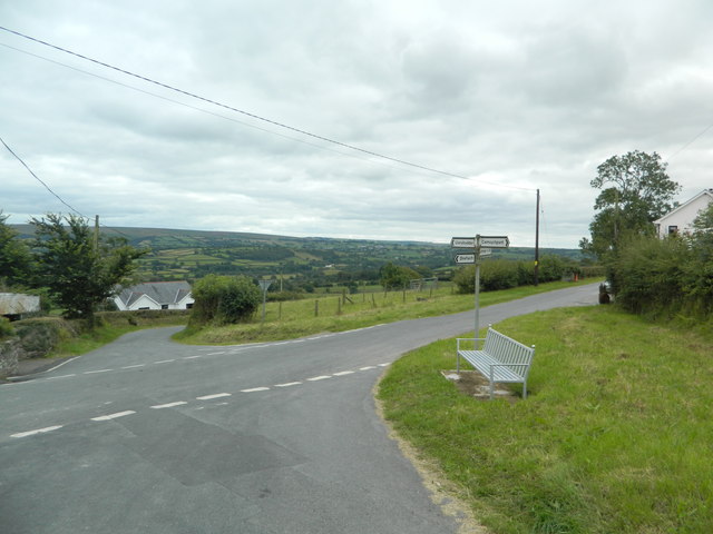
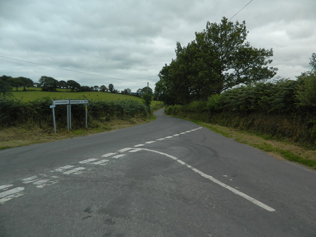
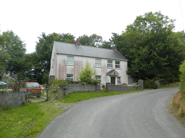
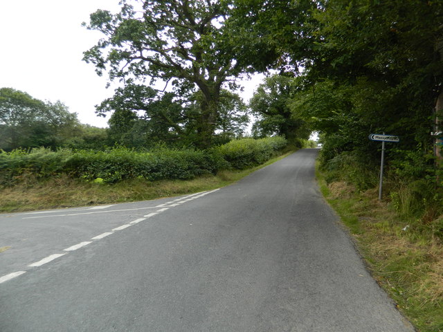
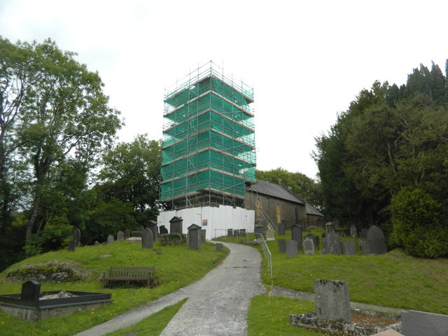
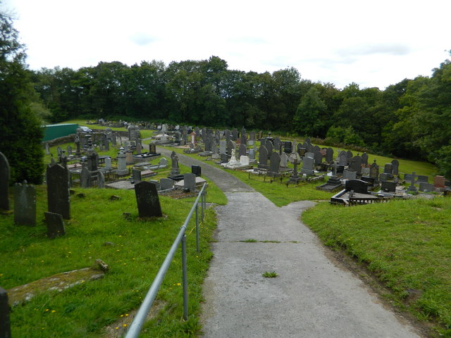
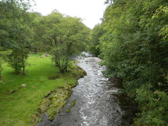
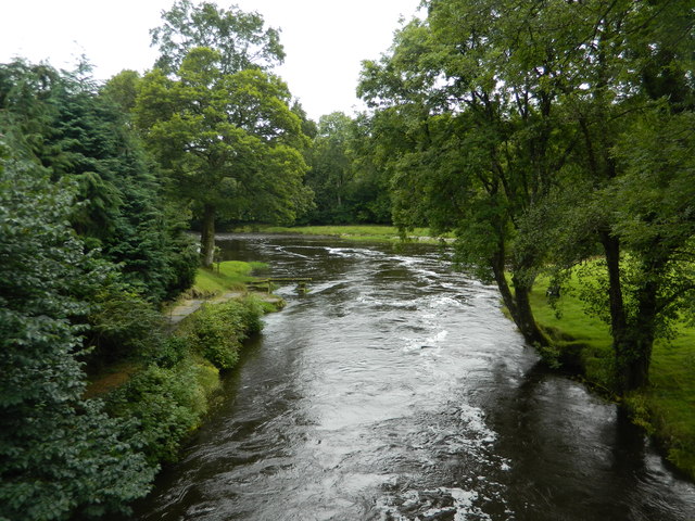
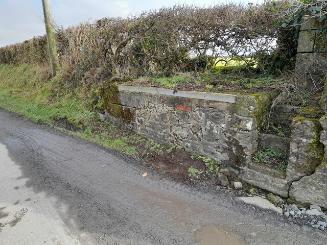
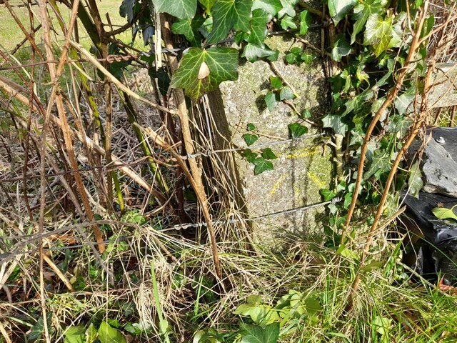
Ponds Wood Images

Images are sourced within 2km of 52.064244/-4.2183324 or Grid Reference SN4842. Thanks to Geograph Open Source API. All images are credited.

Harvesting silage, between Llanwenog and  Brynteg
Harvesting silage, between Llanwenog and Brynteg
Graveyard and converted chapel, Brynteg
Crossroads, Brynteg
Crossroads, Brynteg
Road junction at Allt-fechan
Pant-yr-emen,  Cwm College
Pant-yr-emen, Cwm College
At the turn-off for Maesycrugiau
Eglwys Sant Luc, Maesycrugiau, Llanllwni Apparently being repaired.
Eglwys Sant Luc, Maesycrugiau, Llanllwni
Apparently being repaired.
Graveyard, Maesycrugiau
The River Teifi at Maesycrugiau
Road bridge over the Teifi at Maesycrugiau
The Teifi flowing under the bridge at Maesycrugiau
Eglwys Sant Luc, Maesycrugiau, Llanllwni
Ordnance Survey Rivet This OS rivet can be found on the churn stand at the entrance to Cors-y-fran. It marks a point 202.393m above mean sea level. <a title="https://www.geograph.org.uk/photo/7400859" href="https://www.geograph.org.uk/photo/7400859">Link</a>
Ordnance Survey Rivet
This OS rivet can be found on the churn stand at the entrance to Cors-y-fran. It marks a point 202.393m above mean sea level. Link
Churn Stand There is an Ordnance Survey rivet on the top of the stand. <a title="https://www.geograph.org.uk/photo/7400858" href="https://www.geograph.org.uk/photo/7400858">Link</a>
Churn Stand
There is an Ordnance Survey rivet on the top of the stand. Link
Ordnance Survey Cut Mark This OS cut mark can be found on the concrete post at the entrance to Cwm-Einon. It marks a point 200.695m above mean sea level.
Ordnance Survey Cut Mark
This OS cut mark can be found on the concrete post at the entrance to Cwm-Einon. It marks a point 200.695m above mean sea level.
Show me another place!

Ponds Wood is located at Grid Ref: SN4842 (Lat: 52.064244, Lng: -4.2183324)

Unitary Authority: Ceredigion

Police Authority: Dyfed Powys

What 3 Words

///agreeable.recruiter.branching. Near Llandysul, Ceredigion

Nearby Locations

Ponds Wood

Related Wikis

Rhuddlan, Ceredigion

Rhuddlan, Ceredigion is a small village in the community of Llanwenog, Ceredigion, Wales. Rhuddlan is represented in the Senedd by Elin Jones (Plaid Cymru...

Blaenborthyn

Blaenborthyn is a small village in the community of Llandysul, Ceredigion, Wales, which is 60.4 miles (97.2 km) from Cardiff and 179.9 miles (289.5 km...

Highmead

Highmead is a small village in the community of Llanwenog, Ceredigion, Wales, which is 59.2 miles (95.3 km) from Cardiff and 177.7 miles (286 km) from...

Maesycrugiau railway station

Maesycrugiau railway station also Maes-y-crugiau railway station served the hamlet and rural locale of Maesycrugiau near Llanllwni on the Carmarthen Aberystwyth...

Nearby Amenities

Located within 500m of 52.064244,-4.2183324
Direction: SSW
Generator Method: photovoltaic
Generator Output Electricity: yes
Generator Solar Modules: 16
Generator Source: solar
Generator Type: solar_photovoltaic_panel
Location: roof
Power: generator
Lat/Long: 52.066795/-4.2243236
Direction: 215
Generator Method: photovoltaic
Generator Output Electricity: yes
Generator Solar Modules: 4
Generator Source: solar
Generator Type: solar_photovoltaic_panel
Location: roof
Power: generator
Lat/Long: 52.0680102/-4.2176624
Direction: 215
Generator Method: photovoltaic
Generator Output Electricity: yes
Generator Solar Modules: 18
Generator Source: solar
Generator Type: solar_photovoltaic_panel
Location: roof
Power: generator
Lat/Long: 52.0680647/-4.217822
Man Made: utility_pole
Lat/Long: 52.0649586/-4.2248112
The data included in this document is from www.openstreetmap.org. The data is made available under ODbL.

Have you been to Ponds Wood?

Leave your review of Ponds Wood below (or comments, questions and feedback).