Allt y Dinas
Wood, Forest in Cardiganshire
Wales
Allt y Dinas
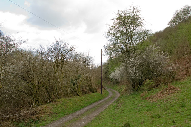
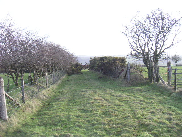
Allt y Dinas is a picturesque woodland located in Cardiganshire, Wales. Covering an area of approximately 100 acres, it is known for its diverse range of tree species and abundant wildlife. The woodland is situated on the slopes of a hill, providing visitors with panoramic views of the surrounding countryside.
The trees in Allt y Dinas include a mix of deciduous and coniferous varieties, creating a vibrant and lush environment. Oak, beech, birch, and ash trees are prevalent, while Douglas fir and Scots pine add a touch of evergreen charm. The woodland floor is covered with a carpet of bluebells, wild garlic, and ferns, enhancing its natural beauty.
The forest is home to a wide array of wildlife, making it a haven for nature enthusiasts. Birdwatchers can spot various species, including woodpeckers, thrushes, and owls, while small mammals such as squirrels, rabbits, and voles scurry among the undergrowth. In addition, Allt y Dinas is known for its population of elusive red squirrels, which have become increasingly rare in the UK.
The woodland offers a network of well-maintained trails, allowing visitors to explore its serene surroundings. These paths wind through the trees, leading to secluded glades and tranquil spots perfect for picnics or quiet contemplation. Allt y Dinas also provides educational opportunities, with informative signs and guided tours available to learn more about the local flora and fauna.
Overall, Allt y Dinas is a cherished natural gem in Cardiganshire, offering a peaceful and enchanting experience for visitors who appreciate the beauty of woodlands and the diversity of wildlife they support.
If you have any feedback on the listing, please let us know in the comments section below.
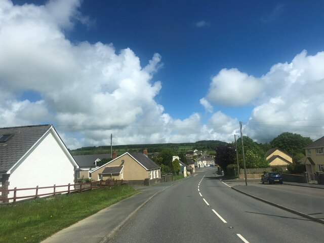
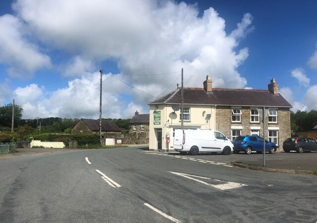
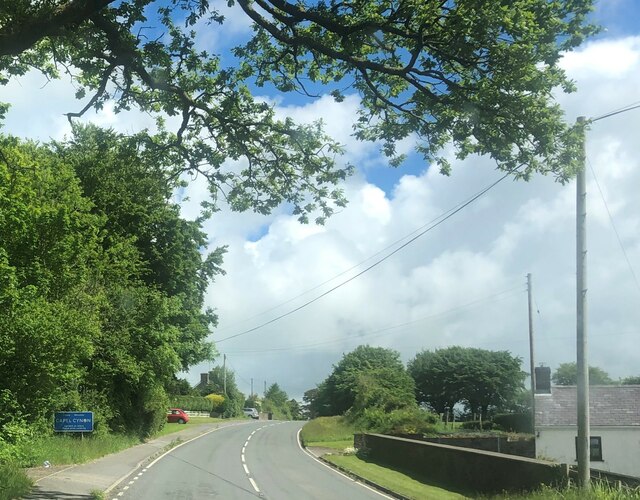
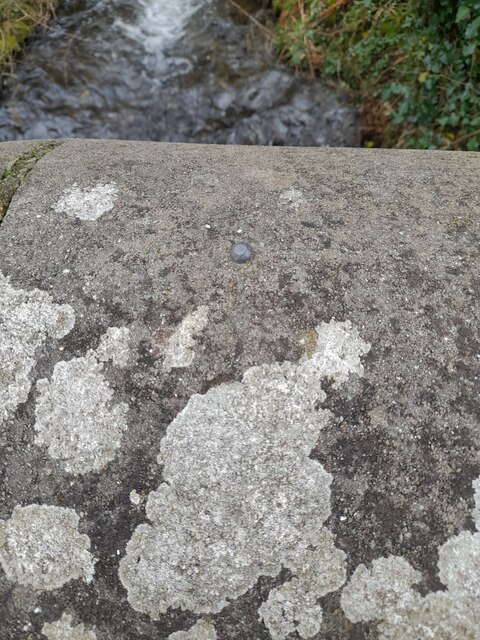
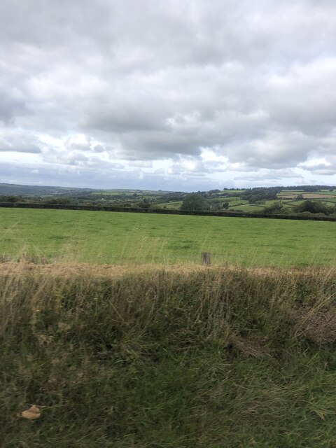
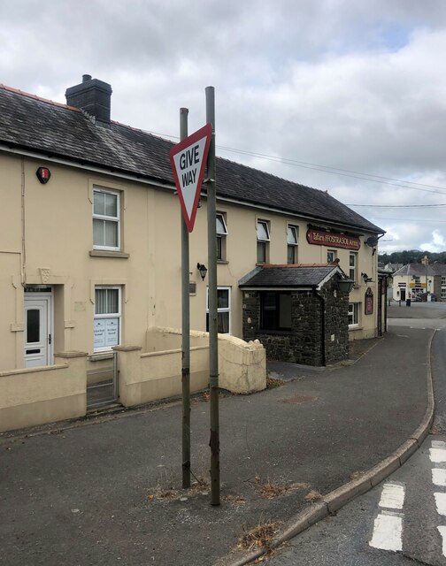
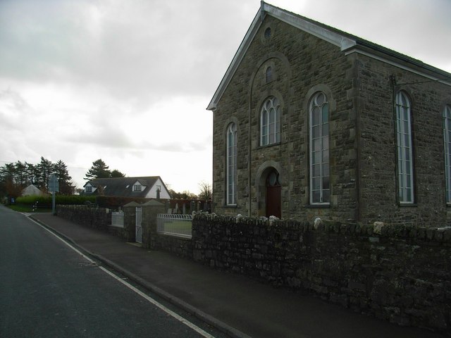
Allt y Dinas Images
Images are sourced within 2km of 52.097216/-4.3578712 or Grid Reference SN3846. Thanks to Geograph Open Source API. All images are credited.
Allt y Dinas is located at Grid Ref: SN3846 (Lat: 52.097216, Lng: -4.3578712)
Unitary Authority: Ceredigion
Police Authority: Dyfed Powys
What 3 Words
///clapper.dorm.waged. Near Llandysul, Ceredigion
Nearby Locations
Related Wikis

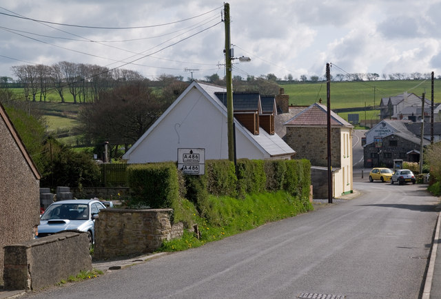
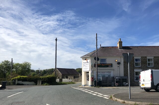
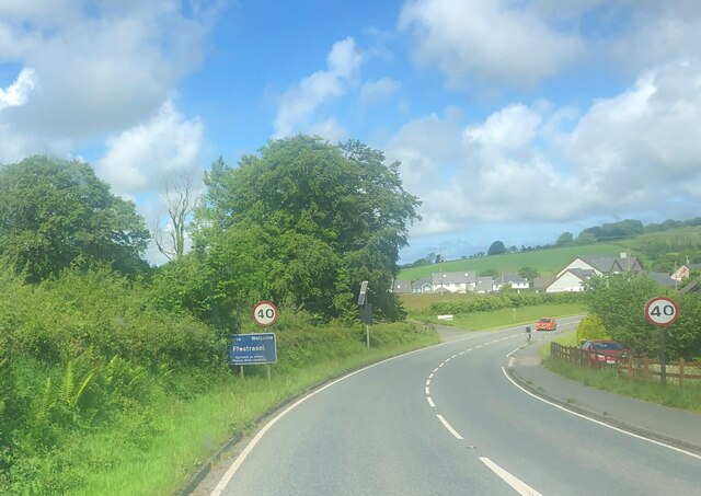
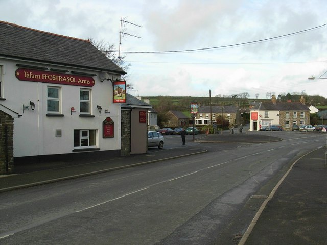
Ffostrasol
Ffostrasol is a small village in the south of Ceredigion, Wales. It is located on the A486 between Synod Inn and Llandysul, and it forms part of the parish...

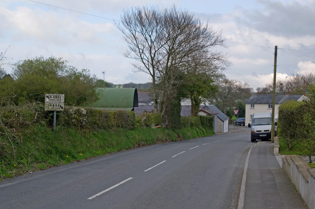
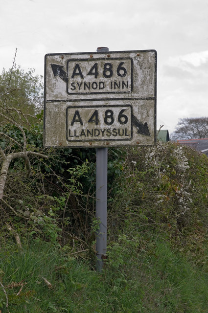
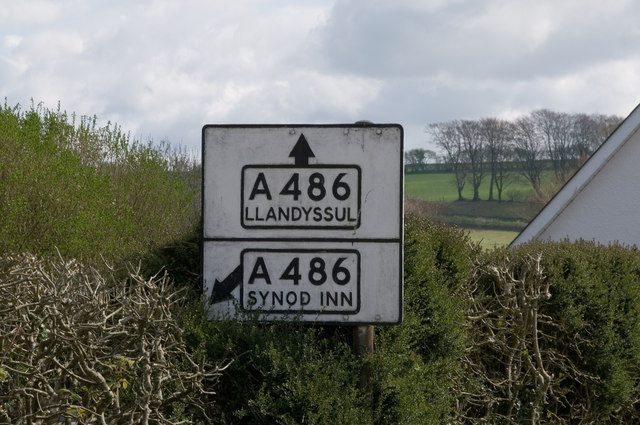
A486 road
The A486 is an A road in Wales linking New Quay, Ceredigion, with the A484 in Saron (Llangeler), Carmarthenshire. == Route == The road begins in New Quay...

Croes-lan
Croes-lan is a small village in the community of Troedyraur, Ceredigion, Wales, which is 65.2 miles (104.9 km) from Cardiff and 185.1 miles (297.8 km...
Tregroes
Tregroes (Welsh: Tregroes, "Settlement of the Cross") is a hamlet in the community of Llandysul, Ceredigion, Wales, which is 64.1 miles (103.2 km) from...

Coed-y-bryn
Coed-y-bryn is a small village in the community of Troedyraur, Ceredigion, Wales. Coed-y-bryn is represented in the Senedd by Elin Jones and the Member...
Rhos Llawr Cwrt National Nature Reserve
Rhos Llawr Cwrt National Nature Reserve nestles in the base of the Clettwr valley, some 10 kilometres from the Ceredigion coast, between Ffostrasol and...

Hawen
Hawen is a hamlet located 68 miles (109 km) from Cardiff and 187.6 miles (301.9 km) from London in Troedyraur, Ceredigion, Wales. Hawen is represented...

Penrhiwpal
Penrhiwpal (Welsh: Penrhywpâl) is a small village in the community of Troedyraur, Ceredigion, Wales. Penrhiwpal is represented in the Senedd by Elin...
Nearby Amenities
Located within 500m of 52.097216,-4.3578712Have you been to Allt y Dinas?
Leave your review of Allt y Dinas below (or comments, questions and feedback).