Allt y Bargoed
Wood, Forest in Cardiganshire
Wales
Allt y Bargoed
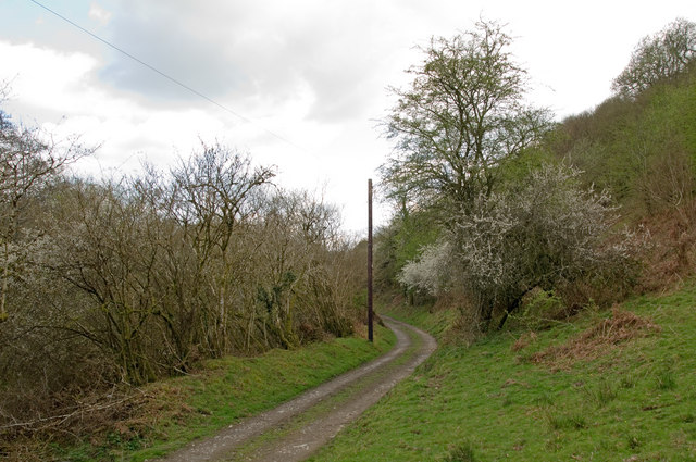
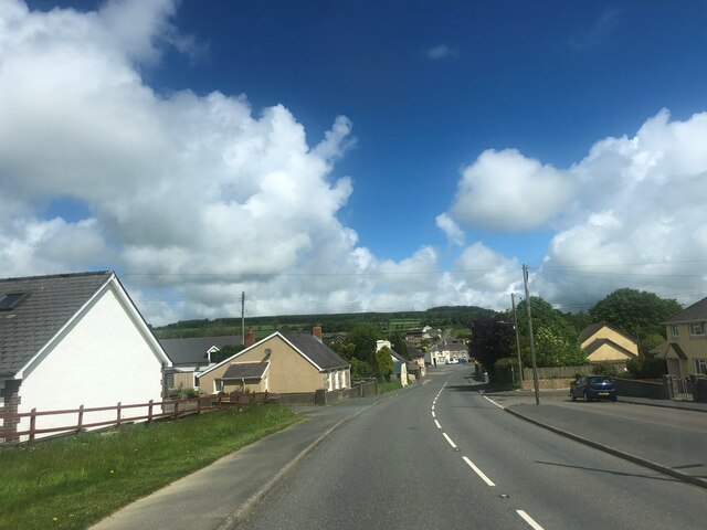
Allt y Bargoed is a stunning wood located in the heart of Cardiganshire, Wales. Covering an area of approximately 150 hectares, it is a prominent natural feature in the region and draws visitors from far and wide.
The wood is characterized by its lush greenery and diverse range of tree species, including oak, birch, beech, and conifers. The dense foliage creates a serene and tranquil atmosphere, making it an ideal destination for nature lovers and those seeking solitude.
The wood is intersected by several walking trails, allowing visitors to explore its beauty at their own pace. These trails lead to breathtaking viewpoints, offering panoramic vistas of the surrounding countryside and the nearby Cambrian Mountains.
Allt y Bargoed is also home to a rich variety of wildlife. Birdwatchers will be delighted to spot species such as buzzards, woodpeckers, and red kites soaring above the treetops. The forest floor is teeming with small mammals, including squirrels, badgers, and foxes.
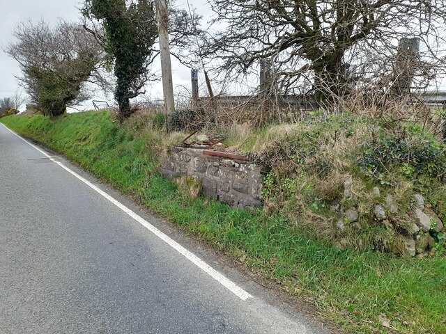
In addition to its natural wonders, Allt y Bargoed has a fascinating history. It was formerly part of the estate of a local landowner, and remnants of old stone walls and structures can still be discovered within the wood. These remnants serve as a reminder of the area's past and add to its rustic charm.
Overall, Allt y Bargoed is a magical place where visitors can immerse themselves in nature, explore its trails, and marvel at its stunning landscapes. It is a must-visit destination for anyone seeking a peaceful and enchanting experience in Cardiganshire.
If you have any feedback on the listing, please let us know in the comments section below.
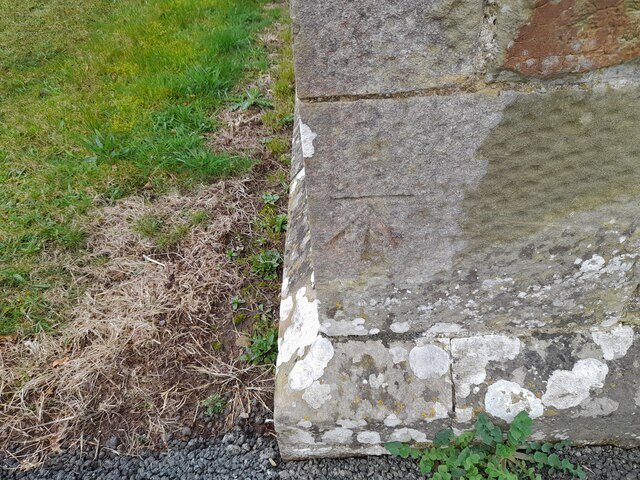
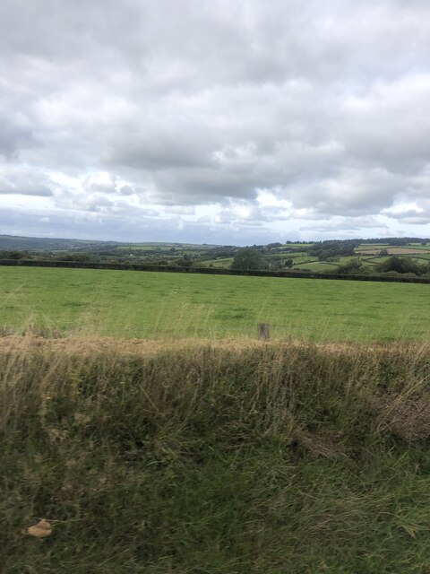
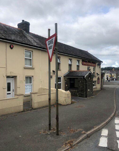
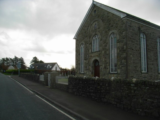
Allt y Bargoed Images
Images are sourced within 2km of 52.092066/-4.3590886 or Grid Reference SN3846. Thanks to Geograph Open Source API. All images are credited.

Allt y Bargoed is located at Grid Ref: SN3846 (Lat: 52.092066, Lng: -4.3590886)
Unitary Authority: Ceredigion
Police Authority: Dyfed Powys
What 3 Words
///trek.coveted.glossed. Near Llandysul, Ceredigion
Nearby Locations
Related Wikis

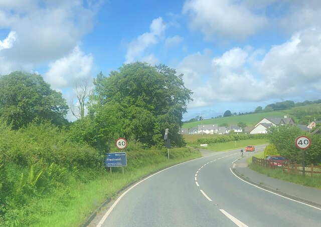
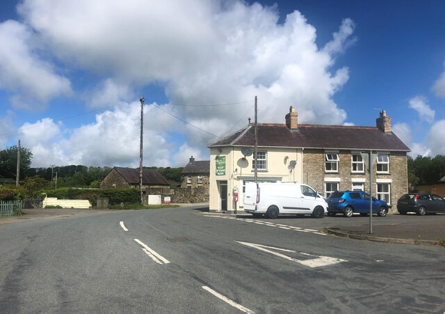
Ffostrasol
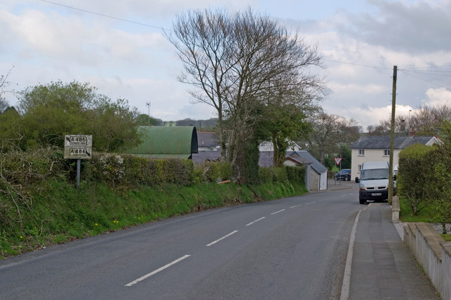
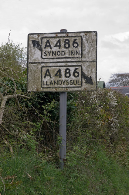
Ffostrasol is a small village in the south of Ceredigion, Wales. It is located on the A486 between Synod Inn and Llandysul, and it forms part of the parish...

Croes-lan
Croes-lan is a small village in the community of Troedyraur, Ceredigion, Wales, which is 65.2 miles (104.9 km) from Cardiff and 185.1 miles (297.8 km...

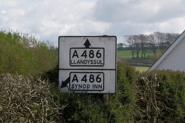
A486 road
The A486 is an A road in Wales linking New Quay, Ceredigion, with the A484 in Saron (Llangeler), Carmarthenshire. == Route == The road begins in New Quay...
Tregroes
Tregroes (Welsh: Tregroes, "Settlement of the Cross") is a hamlet in the community of Llandysul, Ceredigion, Wales, which is 64.1 miles (103.2 km) from...

Coed-y-bryn
Coed-y-bryn is a small village in the community of Troedyraur, Ceredigion, Wales. Coed-y-bryn is represented in the Senedd by Elin Jones and the Member...

Penrhiwpal
Penrhiwpal (Welsh: Penrhywpâl) is a small village in the community of Troedyraur, Ceredigion, Wales. Penrhiwpal is represented in the Senedd by Elin...

Hawen
Hawen is a hamlet located 68 miles (109 km) from Cardiff and 187.6 miles (301.9 km) from London in Troedyraur, Ceredigion, Wales. Hawen is represented...

Rhydlewis
Rhydlewis is a small inland village in Ceredigion, Wales. It is situated in an agricultural area with pasture land, woods and low hills. == History... ==
Nearby Amenities
Located within 500m of 52.092066,-4.3590886Have you been to Allt y Bargoed?
Leave your review of Allt y Bargoed below (or comments, questions and feedback).