Bwlch-y-groes
Settlement in Cardiganshire
Wales
Bwlch-y-groes
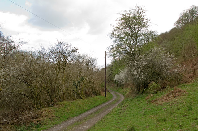
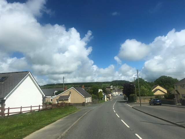
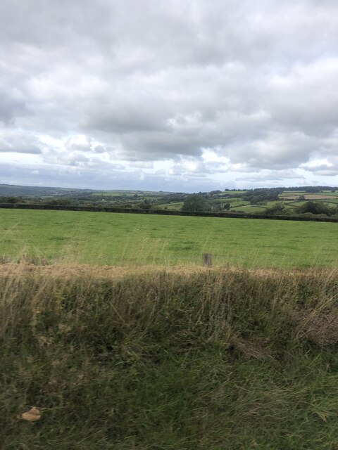
Bwlch-y-groes is a small village located in the county of Cardiganshire, in Wales, United Kingdom. Situated in the Cambrian Mountains, it is renowned for being one of the highest public road passes in the country, reaching an elevation of 545 meters (1,788 feet) above sea level. The village is nestled within the beautiful countryside, surrounded by rolling hills, lush green meadows, and picturesque valleys.
The name Bwlch-y-groes translates to "Pass of the Cross" in English, referring to an ancient stone cross that once stood at the site. The village is known for its stunning panoramic views, offering visitors sweeping vistas of the surrounding landscape. On a clear day, one can see as far as the coast of Cardigan Bay.
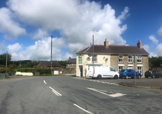
The village itself is small, with a tight-knit community of residents. It features a handful of traditional stone houses, some dating back several centuries. The local economy primarily revolves around agriculture, with sheep farming being a prominent activity in the area.
Bwlch-y-groes attracts outdoor enthusiasts, particularly hikers and cyclists, who are drawn to the challenging ascent of the mountain pass. The road leading to the village is narrow and winding, with sharp bends, making it a popular route for those seeking adrenaline-fueled adventures.
In summary, Bwlch-y-groes is a charming village situated in the heart of the Cambrian Mountains. With its stunning natural surroundings and its status as one of the highest road passes in the country, it offers visitors a unique and breathtaking experience of the Welsh countryside.
If you have any feedback on the listing, please let us know in the comments section below.
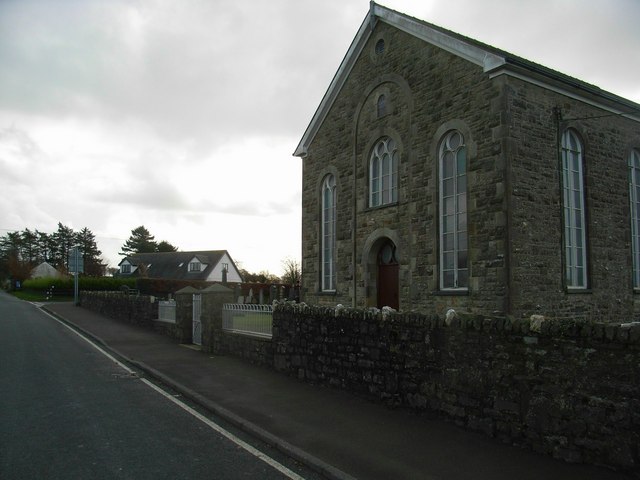
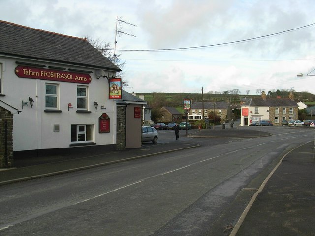
Bwlch-y-groes Images
Images are sourced within 2km of 52.091837/-4.3655585 or Grid Reference SN3846. Thanks to Geograph Open Source API. All images are credited.
Bwlch-y-groes is located at Grid Ref: SN3846 (Lat: 52.091837, Lng: -4.3655585)
Unitary Authority: Ceredigion
Police Authority: Dyfed Powys
What 3 Words
///erupted.compliant.toenail. Near Llandysul, Ceredigion
Nearby Locations
Related Wikis

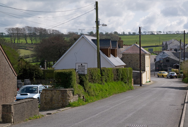
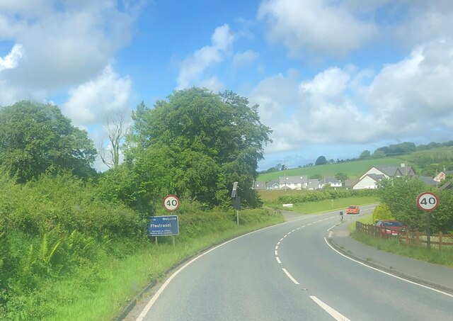
Ffostrasol
Ffostrasol is a small village in the south of Ceredigion, Wales. It is located on the A486 between Synod Inn and Llandysul, and it forms part of the parish...

Croes-lan
Croes-lan is a small village in the community of Troedyraur, Ceredigion, Wales, which is 65.2 miles (104.9 km) from Cardiff and 185.1 miles (297.8 km...

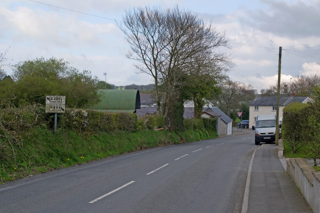
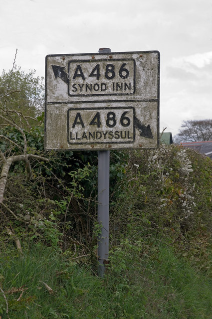
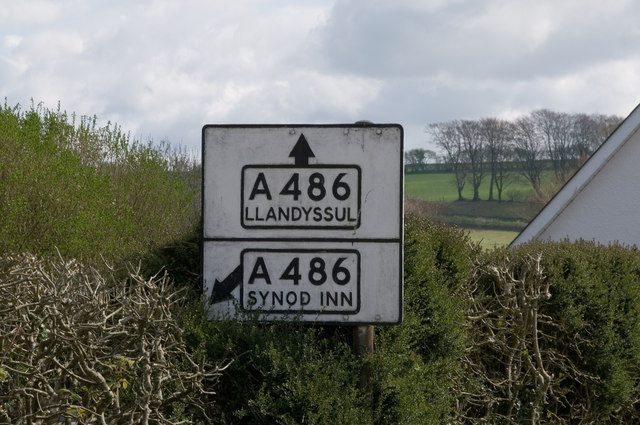
A486 road
The A486 is an A road in Wales linking New Quay, Ceredigion, with the A484 in Saron (Llangeler), Carmarthenshire. == Route == The road begins in New Quay...

Coed-y-bryn
Coed-y-bryn is a small village in the community of Troedyraur, Ceredigion, Wales. Coed-y-bryn is represented in the Senedd by Elin Jones and the Member...
Tregroes
Tregroes (Welsh: Tregroes, "Settlement of the Cross") is a hamlet in the community of Llandysul, Ceredigion, Wales, which is 64.1 miles (103.2 km) from...

Penrhiwpal
Penrhiwpal (Welsh: Penrhywpâl) is a small village in the community of Troedyraur, Ceredigion, Wales. Penrhiwpal is represented in the Senedd by Elin...

Hawen
Hawen is a hamlet located 68 miles (109 km) from Cardiff and 187.6 miles (301.9 km) from London in Troedyraur, Ceredigion, Wales. Hawen is represented...

Rhydlewis
Rhydlewis is a small inland village in Ceredigion, Wales. It is situated in an agricultural area with pasture land, woods and low hills. == History... ==
Nearby Amenities
Located within 500m of 52.091837,-4.3655585Have you been to Bwlch-y-groes?
Leave your review of Bwlch-y-groes below (or comments, questions and feedback).