Church Path Wood
Wood, Forest in Anglesey
Wales
Church Path Wood
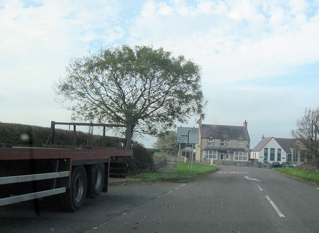
Church Path Wood is a picturesque woodland located on the island of Anglesey, off the northwest coast of Wales. Spanning approximately 5 acres, this enchanting forest is a hidden gem that offers visitors a tranquil and immersive natural experience.
The woodland is a mix of deciduous and coniferous trees, creating a diverse and vibrant ecosystem. Visitors can wander along the well-maintained paths that wind through the trees, providing a sense of serenity and seclusion. The dense canopy overhead provides shade, while the forest floor is carpeted with a variety of wildflowers and ferns, creating a magical atmosphere.
Church Path Wood is home to a range of wildlife, including birds, squirrels, and small mammals. Birdsong fills the air, and lucky visitors may catch a glimpse of a rare species such as the red squirrel or lesser horseshoe bat.
The wood is adjacent to the ancient Llanfaes churchyard, which gives it its name. The churchyard is steeped in history and adds a sense of spirituality to the woodland. The path that leads to the churchyard is lined with ancient gravestones, creating a connection between the past and the present.
Visiting Church Path Wood is a fantastic opportunity to escape the hustle and bustle of everyday life and immerse oneself in the beauty of nature. Whether it's a leisurely stroll or a peaceful picnic, this woodland offers a serene and rejuvenating experience for all nature lovers and those seeking a moment of tranquility.
If you have any feedback on the listing, please let us know in the comments section below.
Church Path Wood Images
Images are sourced within 2km of 53.187502/-4.4177011 or Grid Reference SH3868. Thanks to Geograph Open Source API. All images are credited.


Church Path Wood is located at Grid Ref: SH3868 (Lat: 53.187502, Lng: -4.4177011)
Unitary Authority: Isle of Anglesey
Police Authority: North Wales
What 3 Words
///allowable.cans.rash. Near Rhosneigr, Isle of Anglesey
Nearby Locations
Related Wikis

RAF Bodorgan
Royal Air Force Bodorgan, or more simply RAF Bodorgan, is a former Royal Air Force satellite airfield located near to Bodorgan Hall on the Isle of Anglesey...

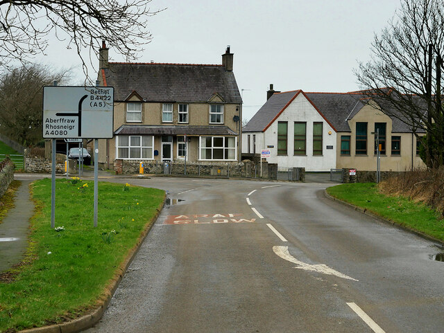
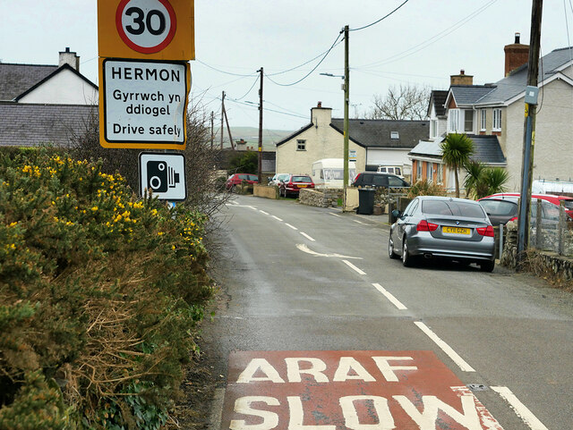
Hermon, Anglesey
Hermon is a village in Anglesey, in north-west Wales. It is located roughly halfway between Newborough and Aberffraw, some 6 miles south-west of Llangefni...

Llangadwaladr
Llangadwaladr () is a small village in south-west Anglesey, Wales, located around 2 miles east of Aberffraw and 3 miles south of Gwalchmai. It is part...
St Cadwaladr's Church, Llangadwaladr
St Cadwaladr's Church (Welsh: Eglwys Ael) is a Grade I listed church in Llangadwaladr, Anglesey. The location of the current church was established in...

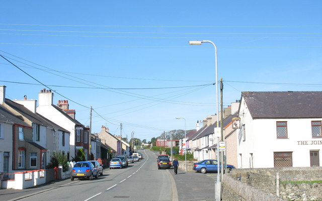
Bodorgan
Bodorgan is a village and community on the Isle of Anglesey, Wales, United Kingdom. According to the 2001 Census, there were 1,503 residents in the now...
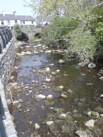
Afon Cefni
Afon Cefni is one of the major rivers on the island of Anglesey, Wales. It is 16.9 kilometres (11 mi) long. Its source is near to the village of Capel...
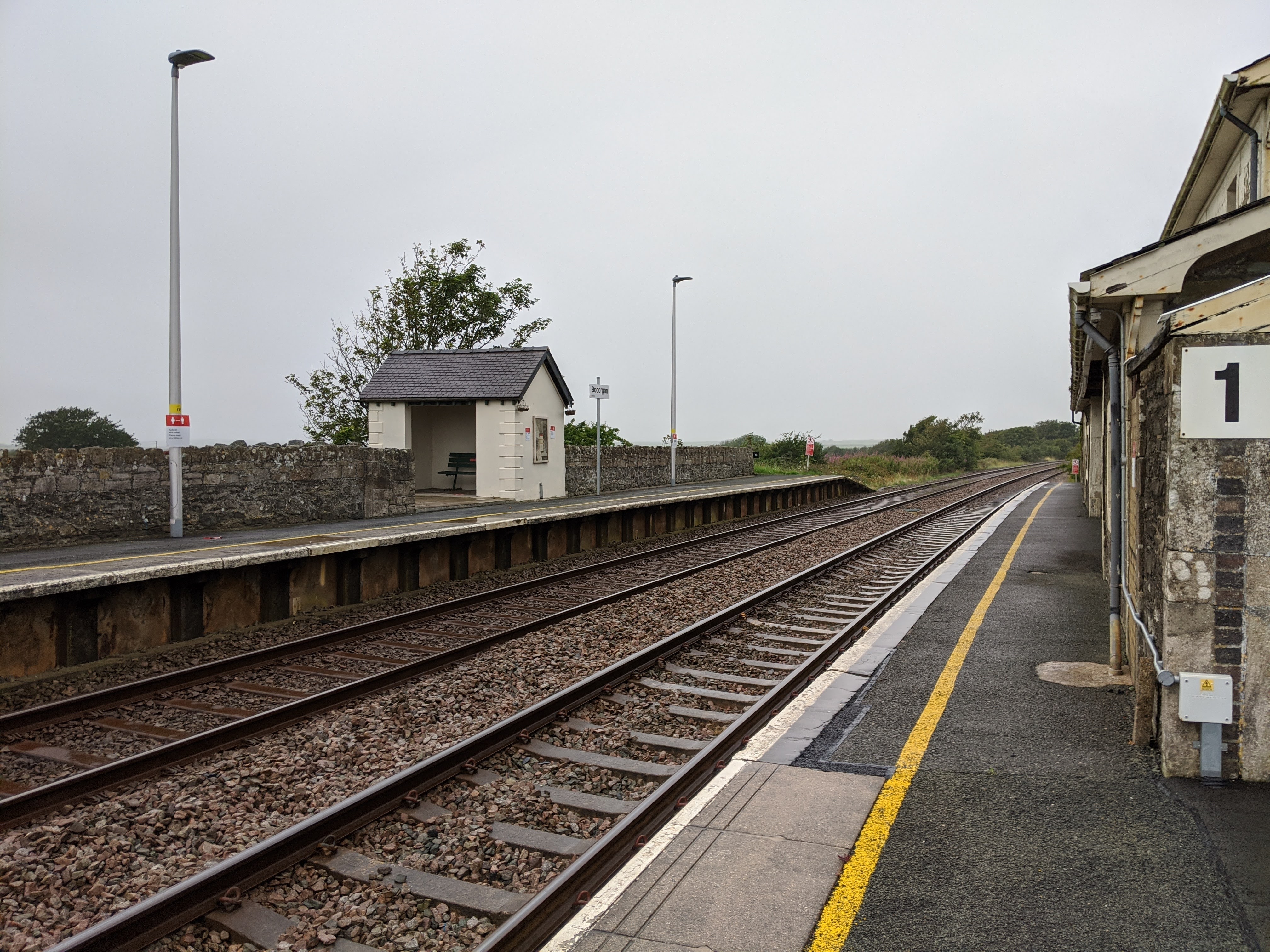
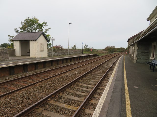
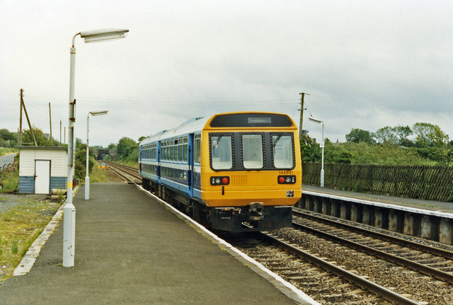
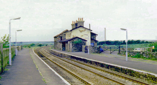
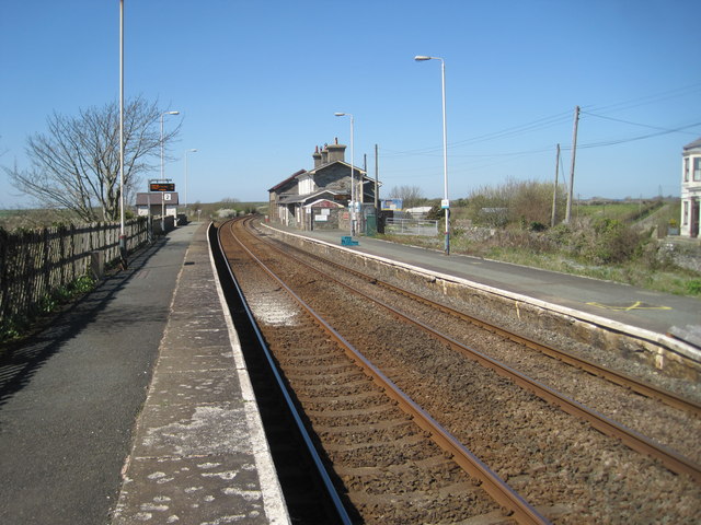
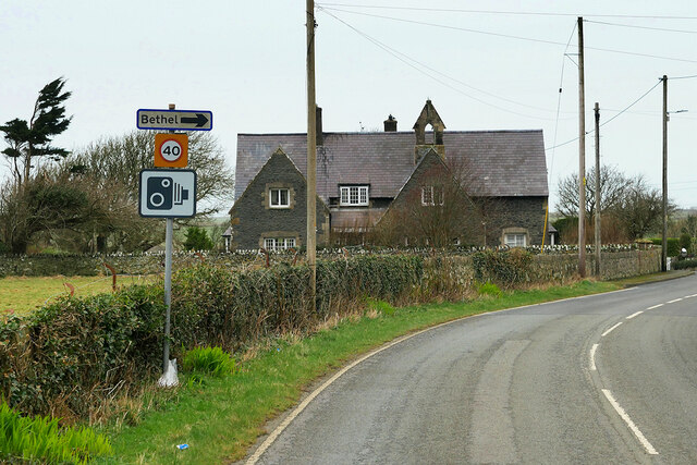
Bodorgan railway station
Bodorgan railway station serves the hamlet of Bodorgan and the village of Bethel on the Isle of Anglesey, Wales. The stop is an unmanned halt, and serves...
Malltraeth
Malltraeth (origin: Mall (corrupt, blasted, desolate, + Traeth (beach))) is a small village in the southwest of Anglesey, in the community of Bodorgan...
Have you been to Church Path Wood?
Leave your review of Church Path Wood below (or comments, questions and feedback).