Rookery Wood

Wood, Forest in Anglesey

Wales

Rookery Wood

Porth Melin Ifan Owen Sand dunes and sand on the southern edge of Newborough Warren and Ynys Llanddwyn National Nature Reserve.
Porth Melin Ifan Owen Credit: Rebecca A Wills

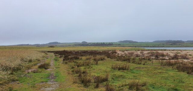
Rookery Wood is a charming woodland located in Anglesey, a beautiful island off the northwest coast of Wales. Spanning an area of approximately 20 acres, this ancient forest is a haven for nature enthusiasts and those seeking tranquility amidst the lush greenery.

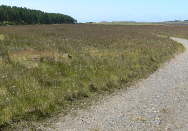
The wood is predominantly composed of native deciduous trees, such as oak, ash, and birch, which create a dense canopy overhead. The forest floor is carpeted with a rich assortment of wildflowers, ferns, and mosses, providing a picturesque scene throughout the year.

Rookery Wood is home to a diverse range of wildlife, making it a popular spot for birdwatchers. Visitors can often spot various species of woodland birds, including woodpeckers, nuthatches, and thrushes. The occasional glimpse of a squirrel scurrying through the trees further adds to the woodland's charm.

There are several well-maintained footpaths that wind their way through Rookery Wood, allowing visitors to explore its natural wonders at their own pace. These paths lead to secluded clearings, where visitors can relax and absorb the peaceful atmosphere, or perhaps enjoy a picnic surrounded by nature's beauty.

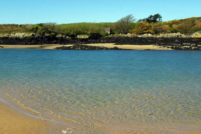
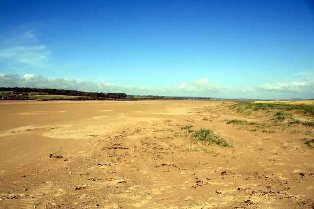
The wood's proximity to the coast adds an extra dimension to its appeal. From certain vantage points, visitors can catch glimpses of the sparkling blue waters of the Irish Sea, creating a stunning contrast against the verdant backdrop of the forest.

Rookery Wood offers a serene escape from the hustle and bustle of everyday life, providing a sanctuary where visitors can immerse themselves in the wonders of nature.

If you have any feedback on the listing, please let us know in the comments section below.
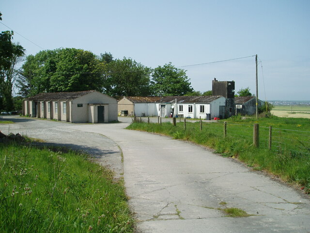
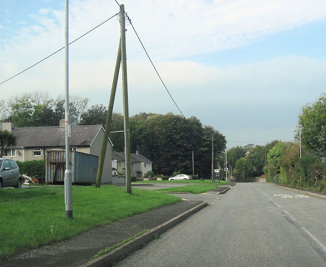
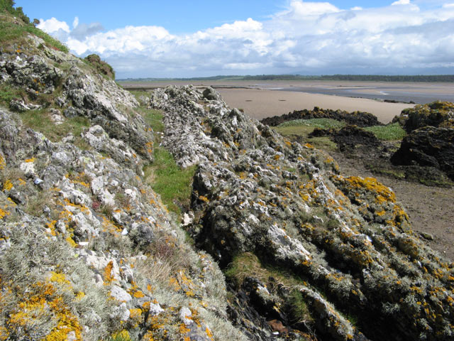
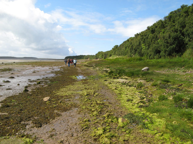
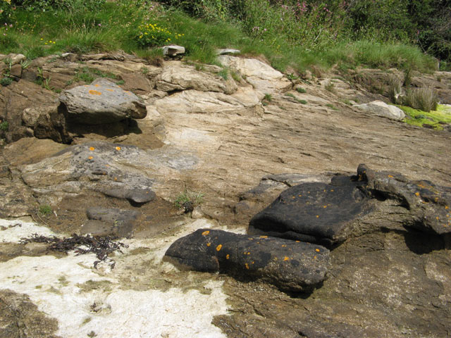
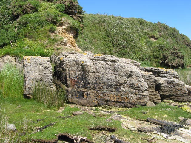
Rookery Wood Images

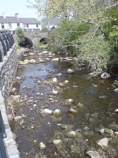
Images are sourced within 2km of 53.177747/-4.417227 or Grid Reference SH3867. Thanks to Geograph Open Source API. All images are credited.

Porth Melin Ifan Owen Sand dunes and sand on the southern edge of Newborough Warren and Ynys Llanddwyn National Nature Reserve.
Porth Melin Ifan Owen
Sand dunes and sand on the southern edge of Newborough Warren and Ynys Llanddwyn National Nature Reserve.
Malltraeth Sands Looking from the sand dunes of Malltraeth Sands towards Newborough Forest.
Malltraeth Sands
Looking from the sand dunes of Malltraeth Sands towards Newborough Forest.
Hermon Hermon is a village on the island of Anglesey. It is located on the A4080 road, roughly halfway between Newborough and Aberffraw, some 6 miles to the southwest of Llangefni.
Hermon
Hermon is a village on the island of Anglesey. It is located on the A4080 road, roughly halfway between Newborough and Aberffraw, some 6 miles to the southwest of Llangefni.
A4080, Hermon Hermon is a village on the island of Anglesey. It is located on the A4080 road, roughly halfway between Newborough and Aberffraw, some 6 miles to the southwest of Llangefni.
A4080, Hermon
Hermon is a village on the island of Anglesey. It is located on the A4080 road, roughly halfway between Newborough and Aberffraw, some 6 miles to the southwest of Llangefni.
Porth Melin Ifan Owen
The edge of Newborough Forest at Cefni Saltmarsh
Forest meets dunes - sandy paths in Newborough Forest
Former Military Buildings Associated With RAF Bodorgan
Salt Marsh near Malltraeth Sands The path is leading out of the Newborough Forest.
Salt Marsh near Malltraeth Sands
The path is leading out of the Newborough Forest.
Salt Marsh near Malltraeth Sands On the left is Newborough Forest, and in the distance are the sand dunes at Traeth Penrhos.
Salt Marsh near Malltraeth Sands
On the left is Newborough Forest, and in the distance are the sand dunes at Traeth Penrhos.
Marshland near Malltraeth Sands
Path to Traeth Penrhos
Traeth Penrhos Looking towards the estuary and Malltraeth Sands.
Traeth Penrhos
Looking towards the estuary and Malltraeth Sands.
A4080 through Hermon westwards Phone box can be seen on the left beyond the turning
A4080 through Hermon westwards
Phone box can be seen on the left beyond the turning
Sediments ancient and modern Looking over an outcrop of the Gwna Melange, a metamorphosed sedimentary rock of Cambrian age to the contemporary sediments of the Malltraeth Sands. The Afon Cefni channel can be seen in the middle distance, at approximately low tide. The sea-washed rock outcrop has a thick growth of lichens.
Sediments ancient and modern
Looking over an outcrop of the Gwna Melange, a metamorphosed sedimentary rock of Cambrian age to the contemporary sediments of the Malltraeth Sands. The Afon Cefni channel can be seen in the middle distance, at approximately low tide. The sea-washed rock outcrop has a thick growth of lichens.
Tideline walkers A party of geologists walking along the Malltraeth shore on an organised excursion.
Tideline walkers
A party of geologists walking along the Malltraeth shore on an organised excursion.
Concretions in sandstone Variable cementing of the sandstone, Carboniferous in age, by carbonates has resulted in irregular weathering and the appearance of large, dark-coloured nodules on the eroded surfaces. The presence of bedding planes passing straight through some nodules is indicative of the structure being secondary in nature. The dark colour is largely due to the slow ablation of the surface compared to less heavily-cemented areas, and the surface is stable enough to be colonised by lichens (yellow Caloplaca is prominent).
Concretions in sandstone
Variable cementing of the sandstone, Carboniferous in age, by carbonates has resulted in irregular weathering and the appearance of large, dark-coloured nodules on the eroded surfaces. The presence of bedding planes passing straight through some nodules is indicative of the structure being secondary in nature. The dark colour is largely due to the slow ablation of the surface compared to less heavily-cemented areas, and the surface is stable enough to be colonised by lichens (yellow Caloplaca is prominent).
Conglomerate beds Beds of a pebble conglomerate dip steadily to the right in this image. It is widely regarded as being a basal formation to the local Carboniferous outcrop, but here its position in the stratigraphy is rather obscure. Similar beds can be found at the side of Lligwy Bay <a href="https://www.geograph.org.uk/gridref/SH5087">SH5087</a> where limestone is also in evidence.
Conglomerate beds
Beds of a pebble conglomerate dip steadily to the right in this image. It is widely regarded as being a basal formation to the local Carboniferous outcrop, but here its position in the stratigraphy is rather obscure. Similar beds can be found at the side of Lligwy Bay SH5087 where limestone is also in evidence.
Show me another place!

Rookery Wood is located at Grid Ref: SH3867 (Lat: 53.177747, Lng: -4.417227)

Unitary Authority: Isle of Anglesey

Police Authority: North Wales

What 3 Words

///trades.happening.eyeliner. Near Rhosneigr, Isle of Anglesey

Related Wikis

Bodorgan

Bodorgan is a village and community on the Isle of Anglesey, Wales, United Kingdom. According to the 2001 Census, there were 1,503 residents in the now...

RAF Bodorgan

Royal Air Force Bodorgan, or more simply RAF Bodorgan, is a former Royal Air Force satellite airfield located near to Bodorgan Hall on the Isle of Anglesey...

Afon Cefni

Afon Cefni is one of the major rivers on the island of Anglesey, Wales. It is 16.9 kilometres (11 mi) long. Its source is near to the village of Capel...

Hermon, Anglesey

Hermon is a village in Anglesey, in north-west Wales. It is located roughly halfway between Newborough and Aberffraw, some 6 miles south-west of Llangefni...

Nearby Amenities

Located within 500m of 53.177747,-4.417227
Source: PGS
Lat/Long: 53.1755181/-4.4125081
Source: PGS
Lat/Long: 53.1763121/-4.4120331
Source: PGS
Lat/Long: 53.1765991/-4.4119205
Source: PGS
Lat/Long: 53.1769361/-4.4118587
Source: PGS
Lat/Long: 53.1779921/-4.4116317
Source: PGS
Lat/Long: 53.1785085/-4.411091
Source: PGS
Lat/Long: 53.178639/-4.4104731
Source: PGS
Lat/Long: 53.1786921/-4.409986
The data included in this document is from www.openstreetmap.org. The data is made available under ODbL.

Have you been to Rookery Wood?

Leave your review of Rookery Wood below (or comments, questions and feedback).