Back Lodge Wood
Wood, Forest in Anglesey
Wales
Back Lodge Wood
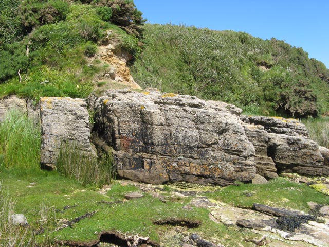
Back Lodge Wood is a stunning forest located in Anglesey, an island off the northwestern coast of Wales. Covering an area of approximately 100 hectares, the wood is a haven for nature enthusiasts and those seeking tranquility amidst the beautiful Welsh countryside.
The woodland is predominantly composed of mixed broadleaf trees, including oak, beech, and birch, creating a diverse and vibrant ecosystem. The dense foliage provides a rich habitat for a wide range of flora and fauna, making it a popular spot for birdwatchers and wildlife enthusiasts.
Visitors to Back Lodge Wood can explore the extensive network of walking trails that meander through the forest. These well-maintained paths offer a variety of routes, catering to all levels of fitness and interest. Along the way, walkers may encounter native wildlife, such as red squirrels, badgers, and a plethora of bird species.
The wood is also notable for its historical significance. It is believed to have been used for timber production in the past, and remnants of old saw pits can still be found within its boundaries. Additionally, the wood is home to a charming Victorian-era lodge, which adds a touch of nostalgia to the overall atmosphere.
Back Lodge Wood offers a peaceful retreat from the hustle and bustle of everyday life. Its natural beauty, diverse flora and fauna, and historical charm make it a must-visit destination for anyone seeking a connection with nature and a glimpse into Wales' rich heritage.
If you have any feedback on the listing, please let us know in the comments section below.
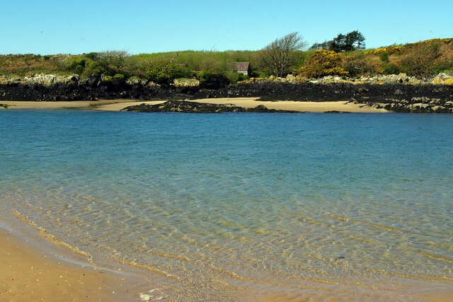
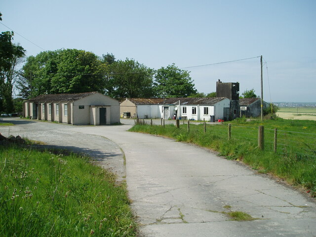
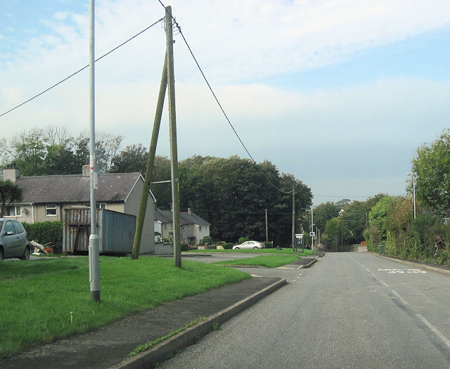
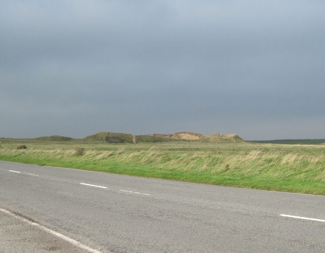
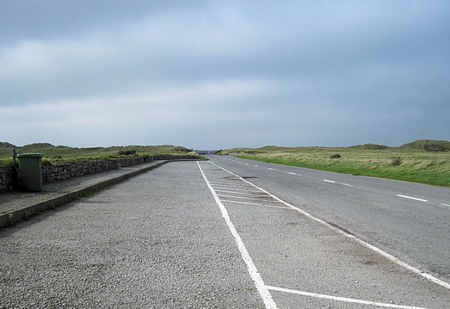
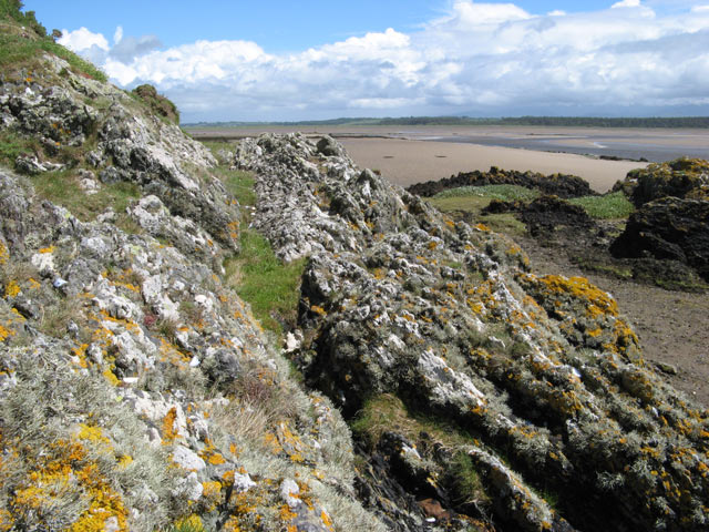
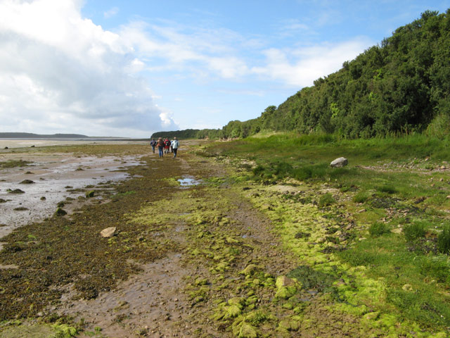
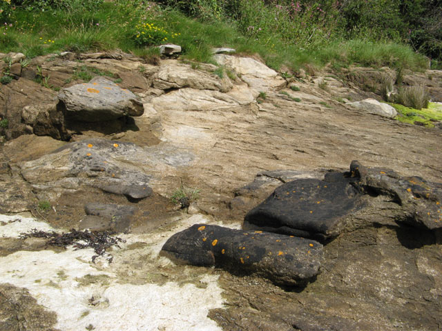
Back Lodge Wood Images
Images are sourced within 2km of 53.182442/-4.4220263 or Grid Reference SH3867. Thanks to Geograph Open Source API. All images are credited.


Back Lodge Wood is located at Grid Ref: SH3867 (Lat: 53.182442, Lng: -4.4220263)
Unitary Authority: Isle of Anglesey
Police Authority: North Wales
What 3 Words
///crib.merge.discrepancy. Near Rhosneigr, Isle of Anglesey
Nearby Locations
Related Wikis

RAF Bodorgan
Royal Air Force Bodorgan, or more simply RAF Bodorgan, is a former Royal Air Force satellite airfield located near to Bodorgan Hall on the Isle of Anglesey...

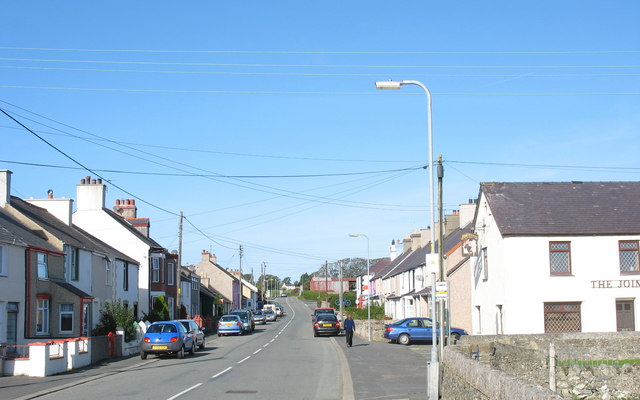
Bodorgan
Bodorgan is a village and community on the Isle of Anglesey, Wales, United Kingdom. According to the 2001 Census, there were 1,503 residents in the now...

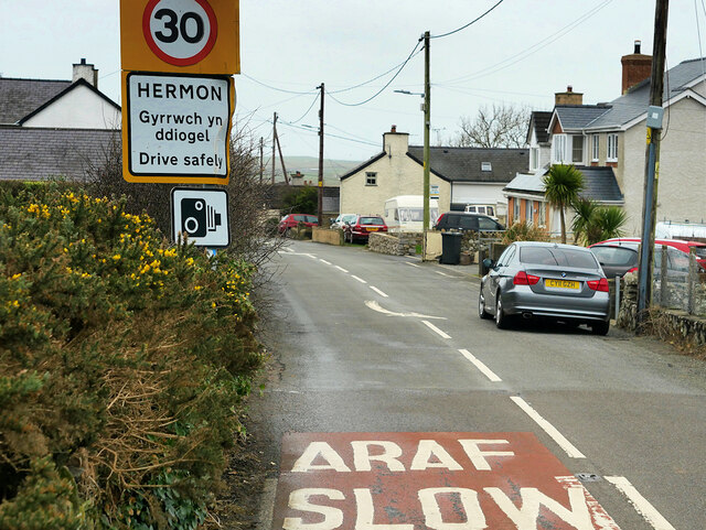
Hermon, Anglesey
Hermon is a village in Anglesey, in north-west Wales. It is located roughly halfway between Newborough and Aberffraw, some 6 miles south-west of Llangefni...

Llangadwaladr
Llangadwaladr () is a small village in south-west Anglesey, Wales, located around 2 miles east of Aberffraw and 3 miles south of Gwalchmai. It is part...
St Cadwaladr's Church, Llangadwaladr
St Cadwaladr's Church (Welsh: Eglwys Ael) is a Grade I listed church in Llangadwaladr, Anglesey. The location of the current church was established in...
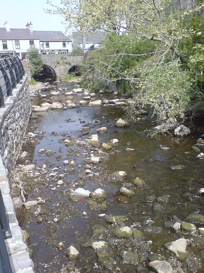
Afon Cefni
Afon Cefni is one of the major rivers on the island of Anglesey, Wales. It is 16.9 kilometres (11 mi) long. Its source is near to the village of Capel...
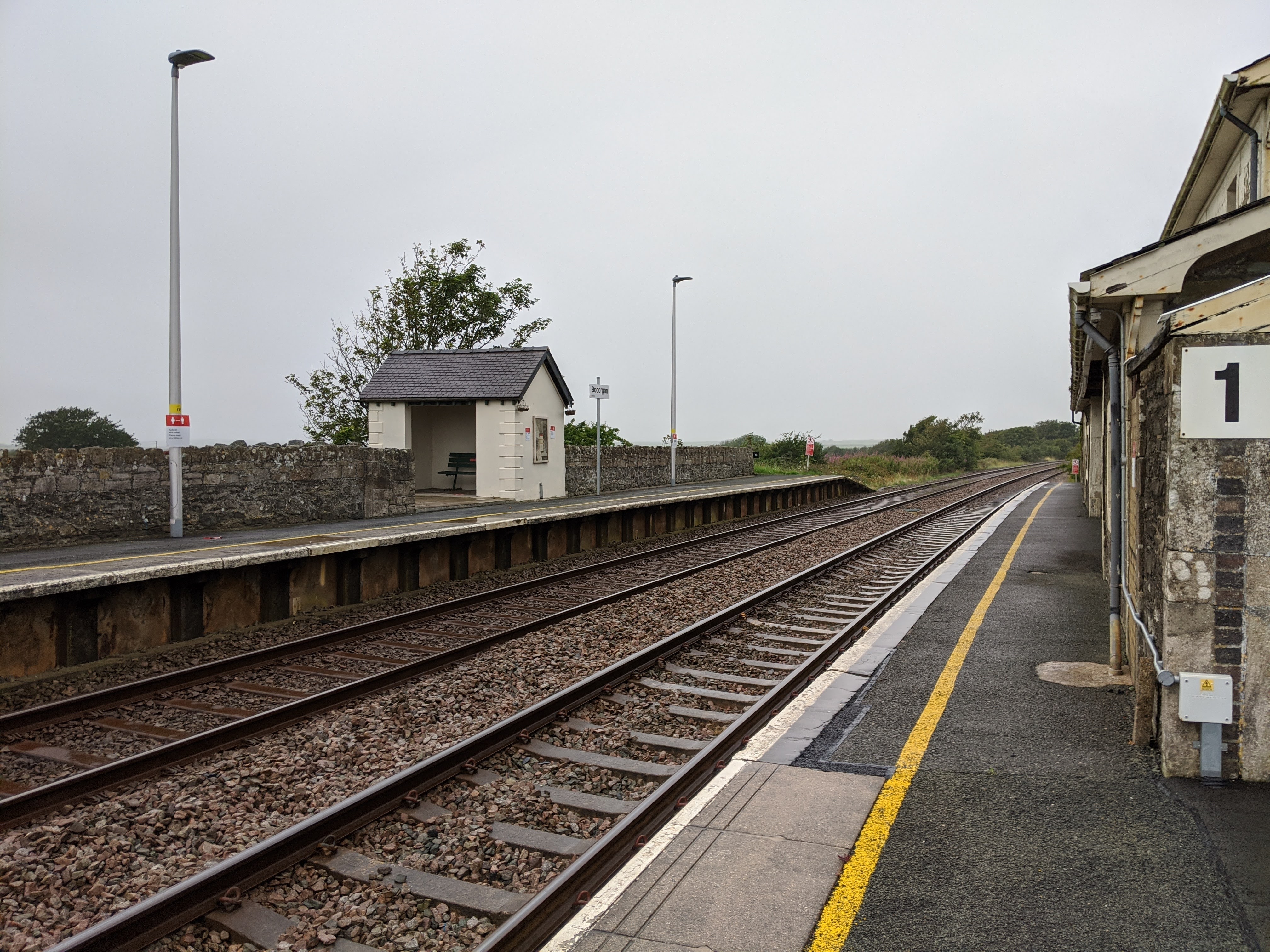
Bodorgan railway station
Bodorgan railway station serves the hamlet of Bodorgan and the village of Bethel on the Isle of Anglesey, Wales. The stop is an unmanned halt, and serves...
Malltraeth
Malltraeth (origin: Mall (corrupt, blasted, desolate, + Traeth (beach))) is a small village in the southwest of Anglesey, in the community of Bodorgan...
Related Videos
Anglesey Lakeside Photography In Winter
In this landscape photography video the weather conditions don't really lend themselves to a photography trip into the mountains, ...

Golden Hour Photography Exposure Blending
This is another landscape photography video in my occasional series, which I'm running during the lockdown. Because I live in an ...

Olympus M4/3 Landscape Photo Gear + Q&A
In this video I drone on and on about my Olympus M4/3 landscape photography gear, extolling the virtues of the OMD EM series ...
Nearby Amenities
Located within 500m of 53.182442,-4.4220263Have you been to Back Lodge Wood?
Leave your review of Back Lodge Wood below (or comments, questions and feedback).