Coed Llewelyn
Wood, Forest in Anglesey
Wales
Coed Llewelyn
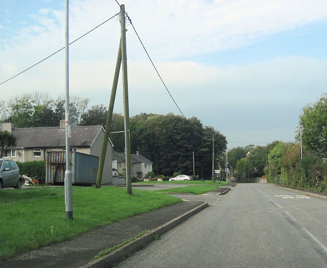
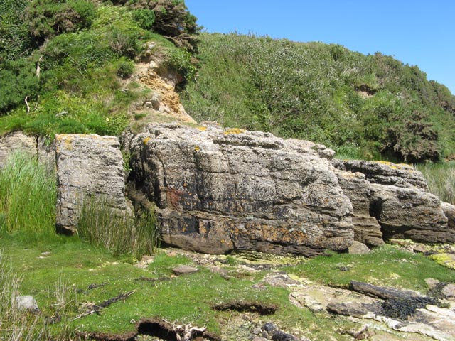
Coed Llewelyn is a picturesque woodland located on the Isle of Anglesey in North Wales, United Kingdom. Covering an area of approximately 200 acres, it is one of the largest and most diverse woodlands on the island. The name "Coed Llewelyn" translates to "Llewelyn's Wood" in English, paying homage to Prince Llewelyn the Great, who is believed to have once owned the land.
The woodland is characterized by its rich and varied flora and fauna. It is predominantly composed of native broadleaf trees such as oak, birch, and beech, creating a lush and verdant environment. These trees provide a habitat for a wide range of wildlife, including birds, small mammals, and insects. The woodland floor is carpeted with an array of wildflowers, adding bursts of color and attracting butterflies and bees.
Coed Llewelyn offers a peaceful and tranquil escape for walkers, nature enthusiasts, and photographers alike. A network of well-maintained footpaths and trails winds through the woodland, allowing visitors to explore its hidden corners and discover its natural beauty. There are also picnic areas and benches scattered throughout the woodland, providing the perfect spots to rest and take in the surroundings.
In addition to its natural beauty, Coed Llewelyn is also of historical importance. It is believed to have been used as a hunting ground in medieval times, and remnants of ancient boundary walls and ditches can still be seen within the woodland today.
Overall, Coed Llewelyn is a haven of tranquility and natural beauty, offering visitors the opportunity to immerse themselves in the wonders of the Welsh countryside.
If you have any feedback on the listing, please let us know in the comments section below.
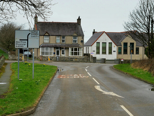
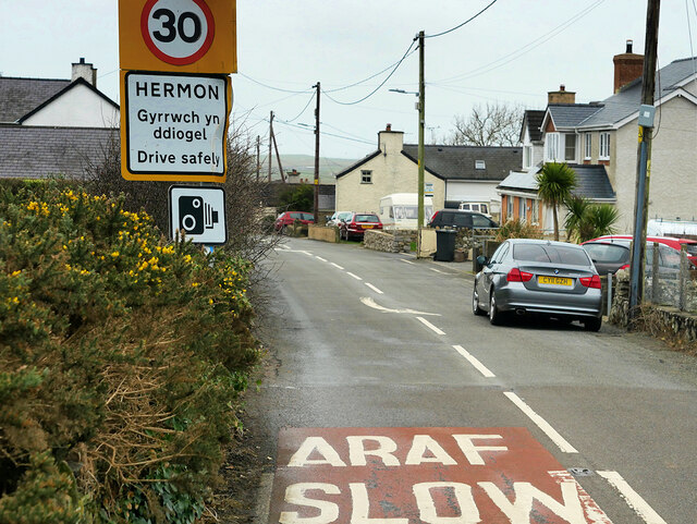
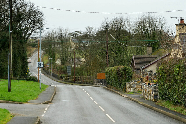
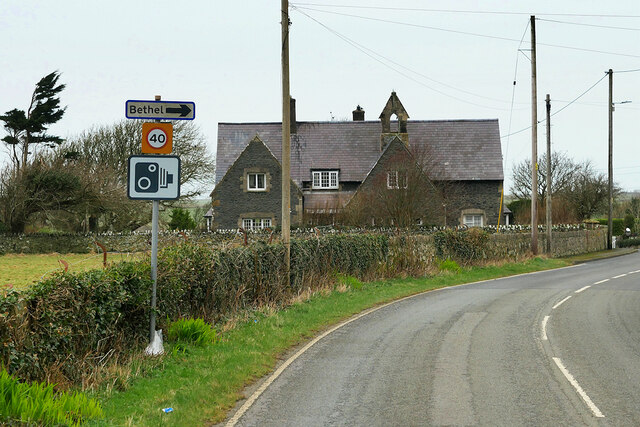
Coed Llewelyn Images
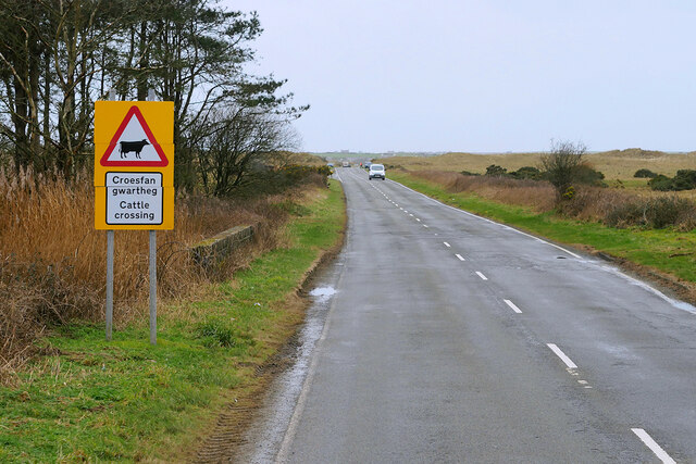
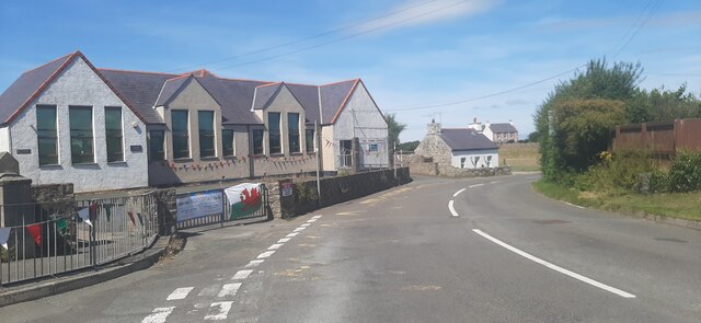
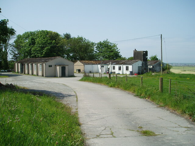
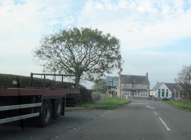
Images are sourced within 2km of 53.183637/-4.4167801 or Grid Reference SH3867. Thanks to Geograph Open Source API. All images are credited.


Coed Llewelyn is located at Grid Ref: SH3867 (Lat: 53.183637, Lng: -4.4167801)
Unitary Authority: Isle of Anglesey
Police Authority: North Wales
What 3 Words
///twee.robot.error. Near Rhosneigr, Isle of Anglesey
Nearby Locations
Related Wikis

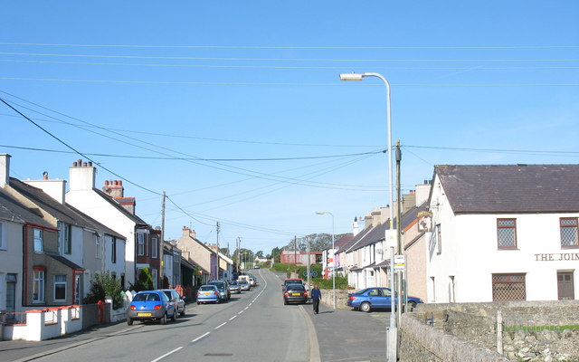
Bodorgan
Bodorgan is a village and community on the Isle of Anglesey, Wales, United Kingdom. According to the 2001 Census, there were 1,503 residents in the now...

RAF Bodorgan
Royal Air Force Bodorgan, or more simply RAF Bodorgan, is a former Royal Air Force satellite airfield located near to Bodorgan Hall on the Isle of Anglesey...

Hermon, Anglesey
Hermon is a village in Anglesey, in north-west Wales. It is located roughly halfway between Newborough and Aberffraw, some 6 miles south-west of Llangefni...
Afon Cefni
Afon Cefni is one of the major rivers on the island of Anglesey, Wales. It is 16.9 kilometres (11 mi) long. Its source is near to the village of Capel...

Llangadwaladr
Llangadwaladr () is a small village in south-west Anglesey, Wales, located around 2 miles east of Aberffraw and 3 miles south of Gwalchmai. It is part...
St Cadwaladr's Church, Llangadwaladr
St Cadwaladr's Church (Welsh: Eglwys Ael) is a Grade I listed church in Llangadwaladr, Anglesey. The location of the current church was established in...
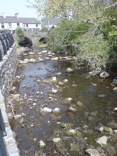
Malltraeth
Malltraeth (origin: Mall (corrupt, blasted, desolate, + Traeth (beach))) is a small village in the southwest of Anglesey, in the community of Bodorgan...
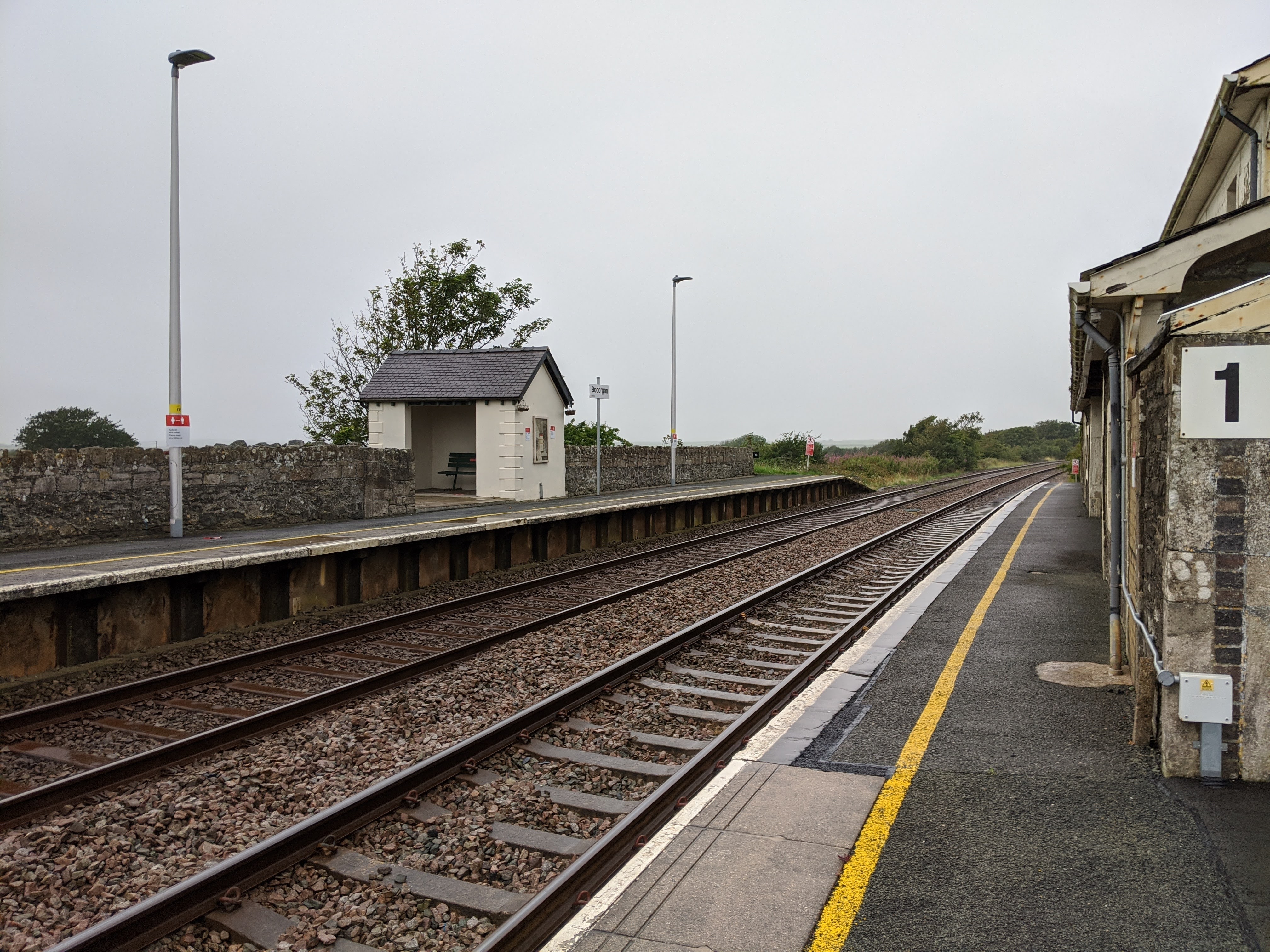
Bodorgan railway station
Bodorgan railway station serves the hamlet of Bodorgan and the village of Bethel on the Isle of Anglesey, Wales. The stop is an unmanned halt, and serves...
Have you been to Coed Llewelyn?
Leave your review of Coed Llewelyn below (or comments, questions and feedback).