Coed Nant-ffrancon

Wood, Forest in Caernarfonshire

Wales

Coed Nant-ffrancon

On Carn Fadryn - view towards Yr Eifl
On Carn Fadryn - view towards Yr Eifl Credit: Colin Park

The requested URL returned error: 429 Too Many Requests

If you have any feedback on the listing, please let us know in the comments section below.

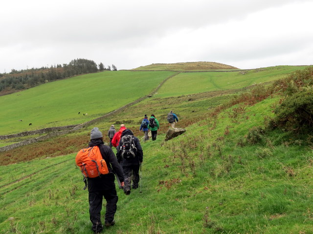
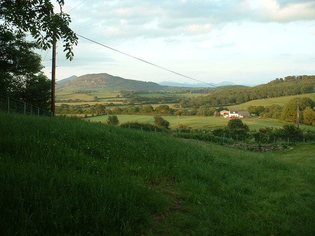
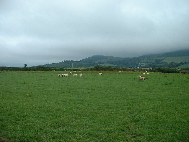
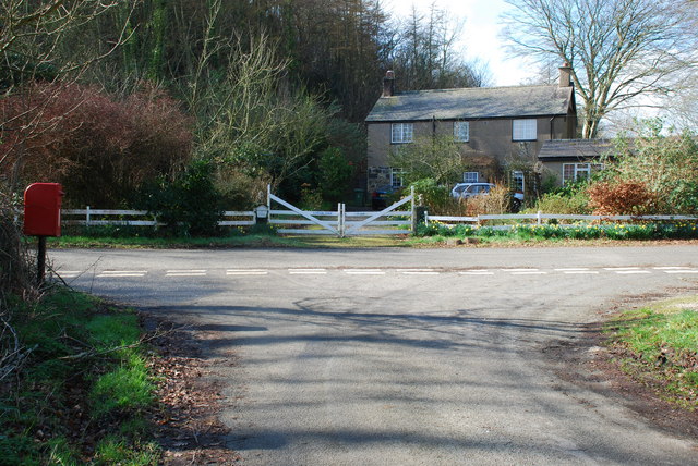
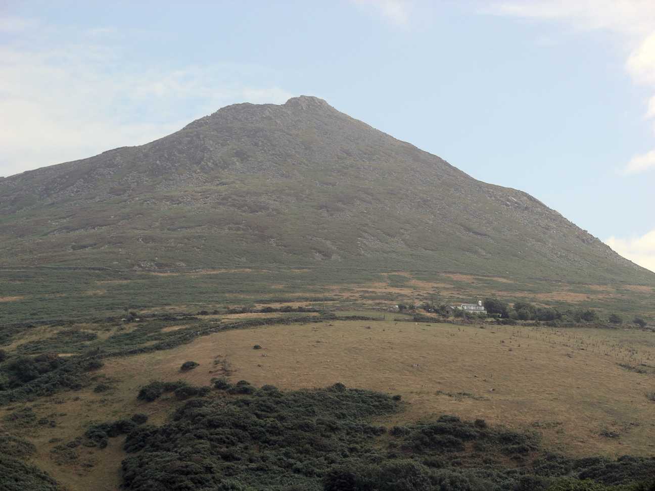
Coed Nant-ffrancon Images

Images are sourced within 2km of 52.901414/-4.5384236 or Grid Reference SH2936. Thanks to Geograph Open Source API. All images are credited.

On Carn Fadryn - view towards Yr Eifl
Sticil / Stile Cerddwr yn dringo sticil ger Ffarm Caeau Gwynion.

Walkers climbing a stile near Caeau Gwynion (trans. white / fair fields)
Sticil / Stile
Cerddwr yn dringo sticil ger Ffarm Caeau Gwynion. Walkers climbing a stile near Caeau Gwynion (trans. white / fair fields)
Tuag at Foel Caerau / Towards Moel Caerau Cerddwyr yn mynd I gyfeiriad Moel Caearau, y bryn yn y pellter.

Walkers heading towards Moel Caearau (trans. bare hilltop of the forts), the hill in the distance.
Tuag at Foel Caerau / Towards Moel Caerau
Cerddwyr yn mynd I gyfeiriad Moel Caearau, y bryn yn y pellter. Walkers heading towards Moel Caearau (trans. bare hilltop of the forts), the hill in the distance.
Llwybr Caerau Uchaf / Upper Caerau Path Cerddwyr yn dilyn llwybr cyhoeddus tuag at Ffarm Caerau Uchaf.

Walkers following a public footpath towards Caerau Uchaf Farm (trans. upper forts).
Llwybr Caerau Uchaf / Upper Caerau Path
Cerddwyr yn dilyn llwybr cyhoeddus tuag at Ffarm Caerau Uchaf. Walkers following a public footpath towards Caerau Uchaf Farm (trans. upper forts).
Tuag at Garn Bach / Towards Garn Bach Cerddwyr yn dilyn llwybr cyhoeddus tuag at Garn Bach, y bryncyn yn y pellter.

Walkers following a public footpath towards Garn Fach (trans. little rock), the hillock in the distance.
Tuag at Garn Bach / Towards Garn Bach
Cerddwyr yn dilyn llwybr cyhoeddus tuag at Garn Bach, y bryncyn yn y pellter. Walkers following a public footpath towards Garn Fach (trans. little rock), the hillock in the distance.
Carn Fadrun viewed from the Wales Coast Path on Lleyn What an eminently climbable mountain this looks - must ascend it asap.
Carn Fadrun viewed from the Wales Coast Path on Lleyn
What an eminently climbable mountain this looks - must ascend it asap.
Farmland below Carn Fadryn Looking northish, towards Yr Eifl. The hill in the middle distance is Moel Ty-gwyn, I think.
Farmland below Carn Fadryn
Looking northish, towards Yr Eifl. The hill in the middle distance is Moel Ty-gwyn, I think.
Farmland below Garn Bach Looking south west towards Carneddol.
Farmland below Garn Bach
Looking south west towards Carneddol.
Farmland near Olwen Farm Looking north east. Olwen Farm is visible, in the adjacent square. The hill is Garn Boduan.
Farmland near Olwen Farm
Looking north east. Olwen Farm is visible, in the adjacent square. The hill is Garn Boduan.
Madryn Castle Caravan Park A nicely laid out and landscaped park, in a pleasant location.
Madryn Castle Caravan Park
A nicely laid out and landscaped park, in a pleasant location.
Lane to Cors-yr-hafod Looking south.
Lane to Cors-yr-hafod
Looking south.
Woodland on Foel Ddu Foel Ddu means 'Black hill'.
Woodland on Foel Ddu
Foel Ddu means 'Black hill'.
Farmland, looking towards Carn Fadryn Looking south, with Carn Fadryn and Moel Caerau under heavy cloud.
Farmland, looking towards Carn Fadryn
Looking south, with Carn Fadryn and Moel Caerau under heavy cloud.
Farmland, looking towards Garn Boduan Looking north east.
Farmland, looking towards Garn Boduan
Looking north east.
Peniel Chapel Near Groesffordd.
Peniel Chapel
Near Groesffordd.
Crossroads at Groesffordd I think that "Groesffordd" means "Crossroads" in Welsh, but it is the name of this place, and it does have a crossroads.
Crossroads at Groesffordd
I think that "Groesffordd" means "Crossroads" in Welsh, but it is the name of this place, and it does have a crossroads.
Looking SW to Carn Fadryn from Bronheulog The photo shows typical Welsh farmland of this square with distant views to Carn Fadryn - without cloud cover!
Looking SW to Carn Fadryn from Bronheulog
The photo shows typical Welsh farmland of this square with distant views to Carn Fadryn - without cloud cover!
Lodge Isaf
Lodge Isaf
Show me another place!

Coed Nant-ffrancon is located at Grid Ref: SH2936 (Lat: 52.901414, Lng: -4.5384236)

Unitary Authority: Gwynedd

Police Authority: North Wales

What 3 Words

///skinning.specifies.fellow. Near Nefyn, Gwynedd

Related Wikis

Cors Geirch National Nature Reserve

Cors Geirch National Nature Reserve is an extensive wetland site on the Llŷn Peninsula, in the central part of the valley that runs between Nefyn and Pwllheli...

Llandudwen

Llandudwen is a former civil parish in the Welsh county of Gwynedd. It was abolished in 1934, and divided between Buan and Tudweiliog. == References ==

Ceidio

Ceidio is a former civil parish in the Welsh county of Gwynedd. It was abolished in 1934, and incorporated into Buan. == References ==

Carn Fadryn

Carn Fadryn, sometimes Carn Fadrun or Garn Fadryn, is a five-hectare Iron Age hillfort and is the name of the mountain on which the fort is situated. It...

Have you been to Coed Nant-ffrancon?

Leave your review of Coed Nant-ffrancon below (or comments, questions and feedback).