Coed Creigiau-cathod

Wood, Forest in Caernarfonshire

Wales

Coed Creigiau-cathod

On Carn Fadryn - view towards Yr Eifl
On Carn Fadryn - view towards Yr Eifl Credit: Colin Park

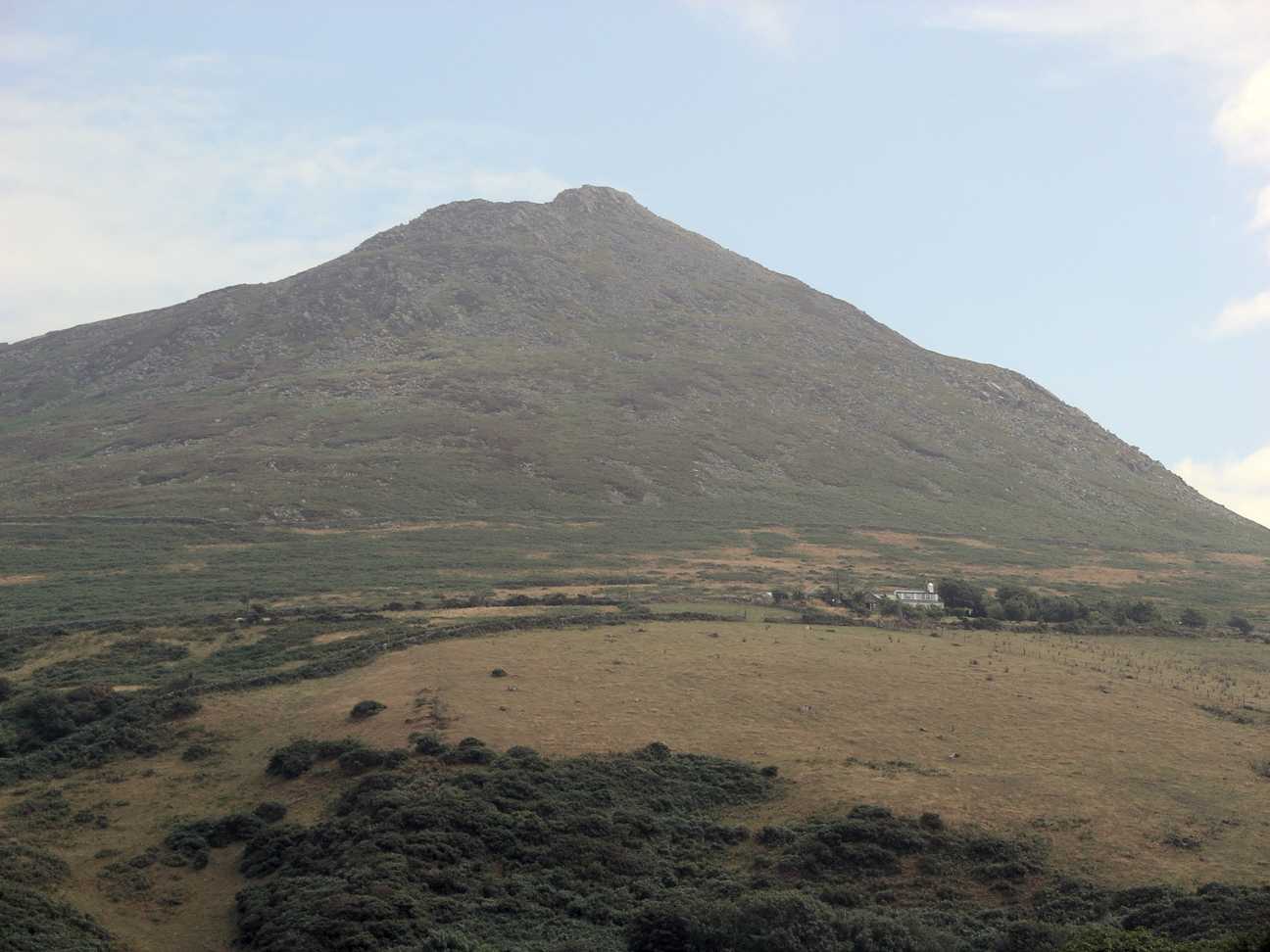
Coed Creigiau-cathod is a charming woodland located in Caernarfonshire, Wales. Nestled in the stunning Snowdonia National Park, this ancient forest covers an area of approximately 200 hectares. The name "Coed Creigiau-cathod" translates to "Wood of the Cats' Rocks," referring to the rocky outcrops that can be found within the woodland.

The forest features a diverse range of tree species, including oak, birch, rowan, and hazel. These trees, combined with an array of wildflowers and ferns, create a rich and vibrant ecosystem. Coed Creigiau-cathod is a haven for wildlife, providing a habitat for various bird species, mammals, and insects.

Visitors to Coed Creigiau-cathod can enjoy peaceful walks along the well-maintained trails that wind through the forest. The paths offer breathtaking views of the surrounding mountains and valleys, making it a popular destination for nature lovers and hikers. Additionally, the woodland is intersected by a small river, adding to its picturesque charm.

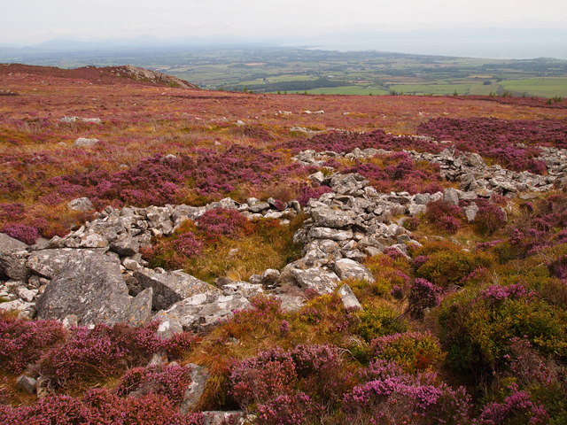
For those interested in history, Coed Creigiau-cathod has archaeological significance. The forest contains remnants of ancient settlements, including stone circles and burial sites, which provide insight into the area's past.

Coed Creigiau-cathod is a treasured natural gem in Caernarfonshire, offering a tranquil escape from the hustle and bustle of everyday life. Whether you're seeking a peaceful stroll, a glimpse of wildlife, or a glimpse into the past, this enchanting woodland is sure to leave a lasting impression.

If you have any feedback on the listing, please let us know in the comments section below.

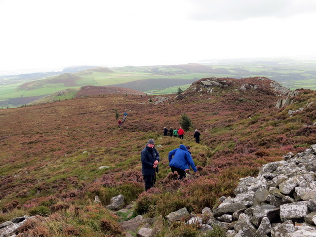
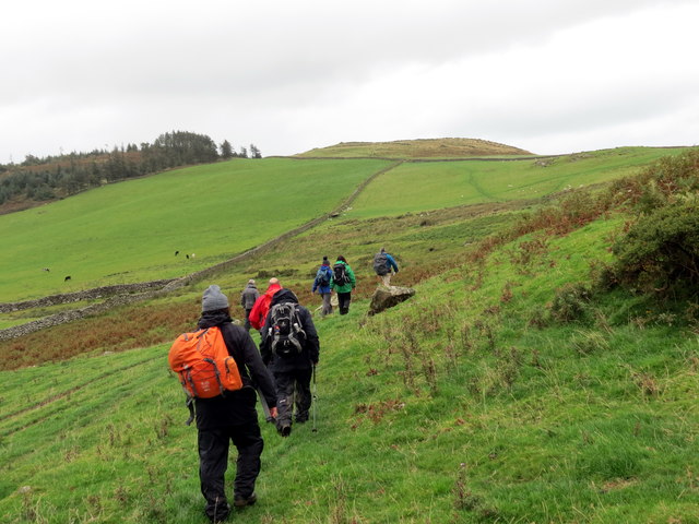
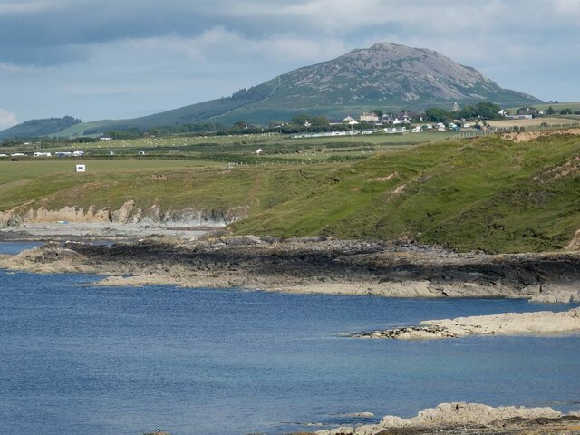
Coed Creigiau-cathod Images

Images are sourced within 2km of 52.899214/-4.5433358 or Grid Reference SH2936. Thanks to Geograph Open Source API. All images are credited.

On Carn Fadryn - view towards Yr Eifl
Bryngaer Carn Fadrun / Caer Fadrun Hillfort Cerddwr o fewn Bryngaer Carn Fadrun, amddiffynfa sy'n dyddio o'r Oes Haearn.

Walkers within Carn Fadrun hillfort (trans. Madrun's cairn), an Iron Age fortification.
Bryngaer Carn Fadrun / Caer Fadrun Hillfort
Cerddwr o fewn Bryngaer Carn Fadrun, amddiffynfa sy'n dyddio o'r Oes Haearn. Walkers within Carn Fadrun hillfort (trans. Madrun's cairn), an Iron Age fortification.
Sticil / Stile Cerddwr yn dringo sticil ger Ffarm Caeau Gwynion.

Walkers climbing a stile near Caeau Gwynion (trans. white / fair fields)
Sticil / Stile
Cerddwr yn dringo sticil ger Ffarm Caeau Gwynion. Walkers climbing a stile near Caeau Gwynion (trans. white / fair fields)
Tuag at Foel Caerau / Towards Moel Caerau Cerddwyr yn mynd I gyfeiriad Moel Caearau, y bryn yn y pellter.

Walkers heading towards Moel Caearau (trans. bare hilltop of the forts), the hill in the distance.
Tuag at Foel Caerau / Towards Moel Caerau
Cerddwyr yn mynd I gyfeiriad Moel Caearau, y bryn yn y pellter. Walkers heading towards Moel Caearau (trans. bare hilltop of the forts), the hill in the distance.
Llwybr Caerau Uchaf / Upper Caerau Path Cerddwyr yn dilyn llwybr cyhoeddus tuag at Ffarm Caerau Uchaf.

Walkers following a public footpath towards Caerau Uchaf Farm (trans. upper forts).
Llwybr Caerau Uchaf / Upper Caerau Path
Cerddwyr yn dilyn llwybr cyhoeddus tuag at Ffarm Caerau Uchaf. Walkers following a public footpath towards Caerau Uchaf Farm (trans. upper forts).
Tuag at Garn Bach / Towards Garn Bach Cerddwyr yn dilyn llwybr cyhoeddus tuag at Garn Bach, y bryncyn yn y pellter.

Walkers following a public footpath towards Garn Fach (trans. little rock), the hillock in the distance.
Tuag at Garn Bach / Towards Garn Bach
Cerddwyr yn dilyn llwybr cyhoeddus tuag at Garn Bach, y bryncyn yn y pellter. Walkers following a public footpath towards Garn Fach (trans. little rock), the hillock in the distance.
View of Carn Fadryn The peak of Carn Fadryn <a href="https://www.geograph.org.uk/gridref/SH3233">SH3233</a> seen from above Porth y Cychod. Two caravan sites and the village of Tudweiliog in the middle distance.
View of Carn Fadryn
The peak of Carn Fadryn SH3233 seen from above Porth y Cychod. Two caravan sites and the village of Tudweiliog in the middle distance.
Carn Fadryn Trig Point Since Barry Hunter was here in 2007 (see <a href="https://www.geograph.org.uk/photo/462230">SH2735 : Carn Fadryn Trig Point</a>) the pillar has lost its bright yellow look, and someone has fallen in love with Ava.
Carn Fadryn Trig Point
Since Barry Hunter was here in 2007 (see SH2735 : Carn Fadryn Trig Point) the pillar has lost its bright yellow look, and someone has fallen in love with Ava.
From Garn Bach - a view of Carn Fadryn
Carn Fadrun Fort Stone hut circles and fortifications in the area of the hill fort.
Carn Fadrun Fort
Stone hut circles and fortifications in the area of the hill fort.
Path rising to summit of Carn Fadryn Carn Fadryn is a hill of the Lleyn Peninsula; the path is approaching the trig point at the summit from the north.
Path rising to summit of Carn Fadryn
Carn Fadryn is a hill of the Lleyn Peninsula; the path is approaching the trig point at the summit from the north.
Heather on east side of Carn Fadryn Carn Fadryn is generally steep all round but here on the upper, east side of the hill there's almost flat ground. In the distance are the hills of the northern part of the Lleyn Peninsula.
Heather on east side of Carn Fadryn
Carn Fadryn is generally steep all round but here on the upper, east side of the hill there's almost flat ground. In the distance are the hills of the northern part of the Lleyn Peninsula.
Trig Point, Carn Fadryn
Hut Circles, Carn Fadryn Iron age settlement.
Hut Circles, Carn Fadryn
Iron age settlement.
Iron Age Hillfort, Carn Fadryn
Carn Fadrun viewed from the Wales Coast Path on Lleyn What an eminently climbable mountain this looks - must ascend it asap.
Carn Fadrun viewed from the Wales Coast Path on Lleyn
What an eminently climbable mountain this looks - must ascend it asap.
Carn Fadryn
Carn Fadryn
Farmland below Carn Fadryn Looking northish, towards Yr Eifl. The hill in the middle distance is Moel Ty-gwyn, I think.
Farmland below Carn Fadryn
Looking northish, towards Yr Eifl. The hill in the middle distance is Moel Ty-gwyn, I think.
Show me another place!

Coed Creigiau-cathod is located at Grid Ref: SH2936 (Lat: 52.899214, Lng: -4.5433358)

Unitary Authority: Gwynedd

Police Authority: North Wales

What 3 Words

///range.divided.fastening. Near Nefyn, Gwynedd

Related Wikis

Cors Geirch National Nature Reserve

Cors Geirch National Nature Reserve is an extensive wetland site on the Llŷn Peninsula, in the central part of the valley that runs between Nefyn and Pwllheli...

Llandudwen

Llandudwen is a former civil parish in the Welsh county of Gwynedd. It was abolished in 1934, and divided between Buan and Tudweiliog. == References ==

Ceidio

Ceidio is a former civil parish in the Welsh county of Gwynedd. It was abolished in 1934, and incorporated into Buan. == References ==

Carn Fadryn

Carn Fadryn, sometimes Carn Fadrun or Garn Fadryn, is a five-hectare Iron Age hillfort and is the name of the mountain on which the fort is situated. It...

Have you been to Coed Creigiau-cathod?

Leave your review of Coed Creigiau-cathod below (or comments, questions and feedback).