Forest Wood
Wood, Forest in Pembrokeshire
Wales
Forest Wood
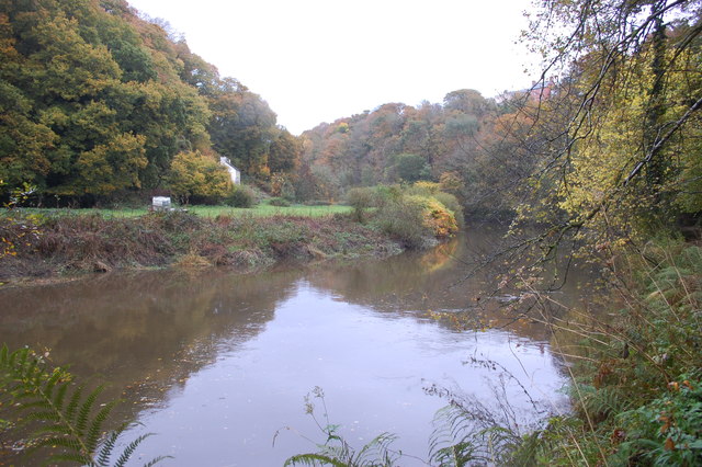
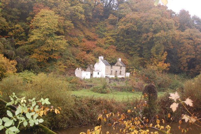
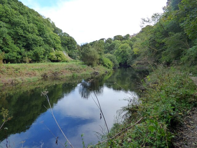
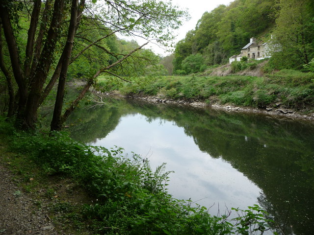
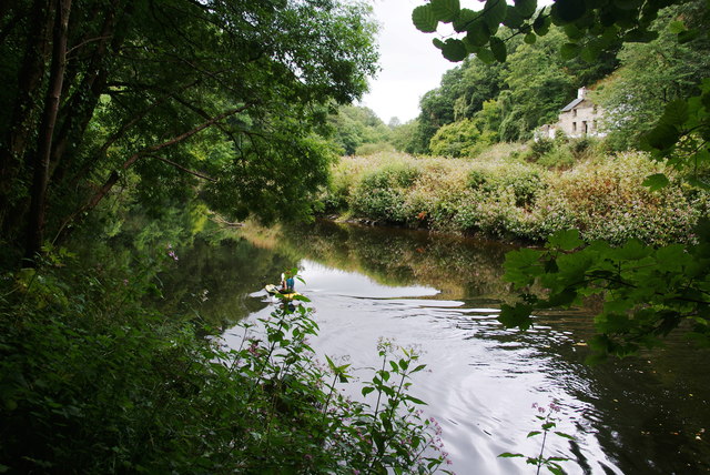
Forest Wood is a picturesque woodland located in the county of Pembrokeshire, Wales. Spread over a sprawling area, this enchanting forest offers visitors a serene and tranquil environment amidst nature's beauty. The wood is characterized by its dense canopy of tall trees, creating a cool and shaded atmosphere even during the hot summer months.
The woodland is home to a diverse range of plant and animal species, providing a rich ecosystem for nature enthusiasts and wildlife lovers. Visitors can expect to encounter a variety of bird species, including woodpeckers and owls, as well as small mammals like squirrels and rabbits. The forest floor is adorned with a vibrant array of wildflowers and ferns, adding to the overall charm of the surroundings.
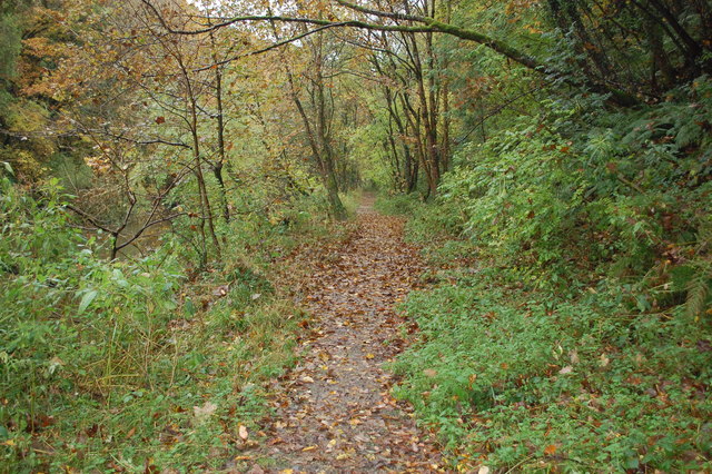
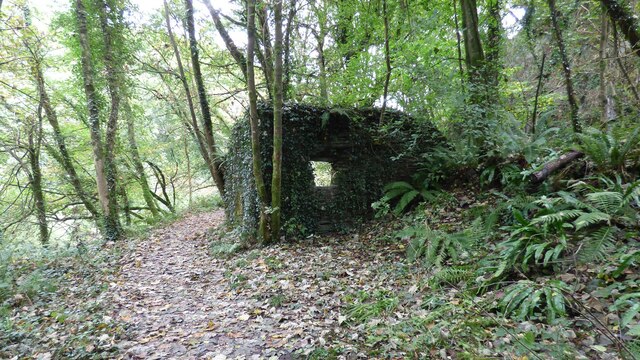
Forest Wood offers numerous walking trails and paths, allowing visitors to explore its natural wonders at their own pace. The trails are well-maintained and suitable for all levels of fitness, making it accessible for both casual walkers and more adventurous hikers. The wood also boasts a small picnic area, providing the perfect spot for visitors to relax and enjoy a packed lunch amidst the peaceful surroundings.
Nestled in the heart of the Pembrokeshire countryside, Forest Wood offers a welcome escape from the hustle and bustle of everyday life. Its beauty and tranquility make it an ideal destination for nature lovers seeking solace in a serene natural setting. Whether it's a leisurely stroll or an immersive wildlife experience, Forest Wood has something to offer for everyone.
If you have any feedback on the listing, please let us know in the comments section below.
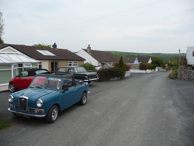
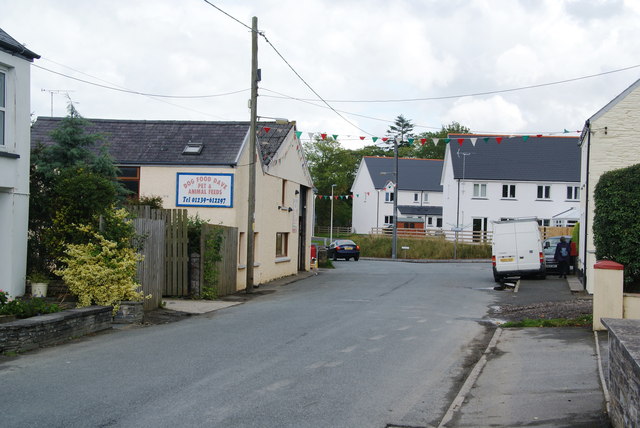
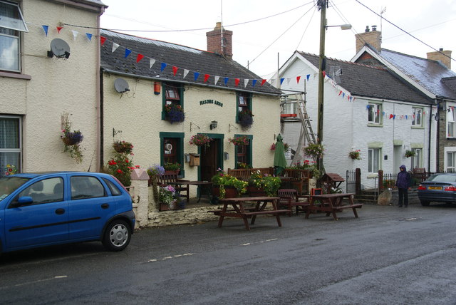
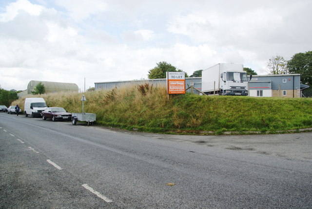
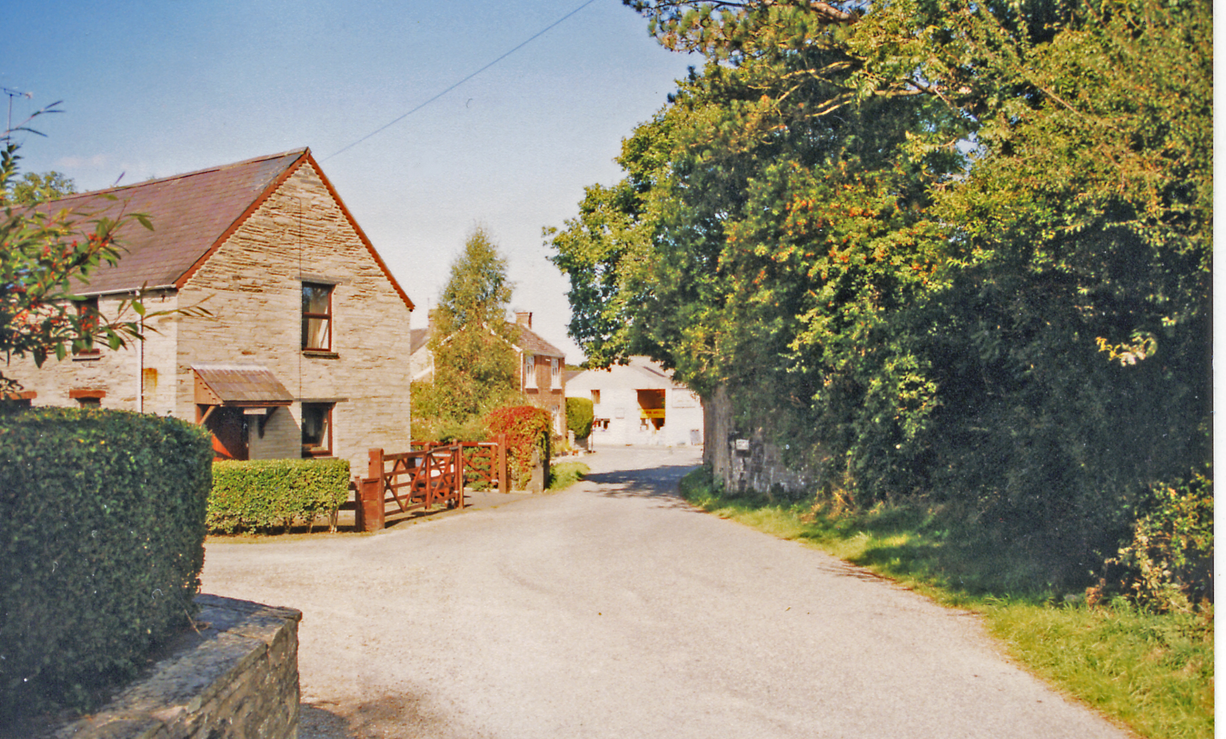
Forest Wood Images
Images are sourced within 2km of 52.059924/-4.6405219 or Grid Reference SN1943. Thanks to Geograph Open Source API. All images are credited.


Forest Wood is located at Grid Ref: SN1943 (Lat: 52.059924, Lng: -4.6405219)
Unitary Authority: Pembrokeshire
Police Authority: Dyfed Powys
What 3 Words
///claim.precluded.stocky. Near Cardigan, Ceredigion
Nearby Locations
Related Wikis

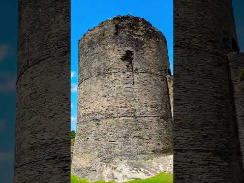
Cilgerran Castle
Cilgerran Castle (Welsh: Castell Cilgerran) is a 13th-century ruined castle located in Cilgerran, Pembrokeshire, Wales, near Cardigan. The first castle...

Coedmor National Nature Reserve
Coedmor National Nature Reserve is a nature reserve in Wales, located just south of Cardigan, between Llechryd Bridge and the Teifi Marshes in Ceredigion...

Cilgerran
Cilgerran (previously Kilgerran or Cil-Garon) is both a village, a parish, and also a community, situated on the south bank of the River Teifi in Pembrokeshire...
Kilgerran Halt railway station
Kilgerran Halt railway station served the village of Cilgerran, Pembrokeshire, Wales, from 1886 to 1963 on the Whitland and Cardigan Railway. == History... ==
Related Videos

Ty Rhiw Holiday Cottage Cilgerran West Wales
Ty Rhiw Cottage is a cosy, peaceful 2-bed cottage in Cilgerran. Nestled in the beautiful countryside of West Wales, just 10 minutes ...

Cilgerran Castle, Cardigan Wales - castle tour and 300 years of tumultuous history!
castle #castleruins #medieval #history #ruin #wales Join us as we explore the ruins of Cilgerran Castle, near Cardigan in Wales.

Trip to Teifi Marshes
A flying visit to Teifi Marshes on the outskirts of Cardigan. The nature reserve lies between the counties of Pembrokeshire and ...
A ruined castle in well maintained grounds. Visit Cilgerran Castle ✨#Cilgerran #castle
A ruined castle in well maintained grounds. Visit Cilgerran Castle ✨ #Cilgerran #castle #karolg #reels #reelsfb #reelsfypシ ...
Nearby Amenities
Located within 500m of 52.059924,-4.6405219Have you been to Forest Wood?
Leave your review of Forest Wood below (or comments, questions and feedback).