Allt Glan-Teifi

Wood, Forest in Cardiganshire

Wales

Allt Glan-Teifi

Afon Teifi and ruined house The house (white) can be seen left of centre. Walking by the river now it is hard to imagine that not so long ago it was a hive of activity, industry, commerce and quarrying.
Afon Teifi and ruined house Credit: Trevor Harris

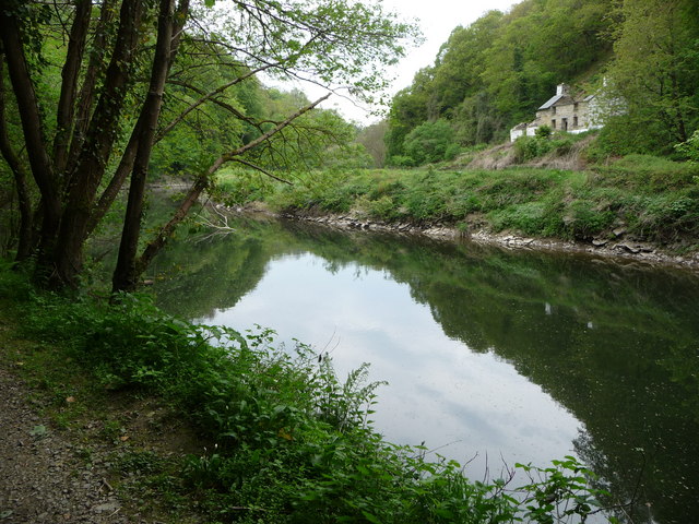
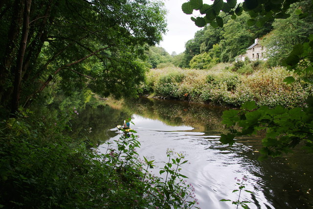
Allt Glan-Teifi is a picturesque wood located in Cardiganshire, Wales. Spread across a vast area, it is a significant forest known for its natural beauty and diverse flora and fauna.

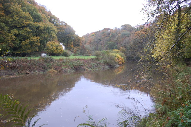
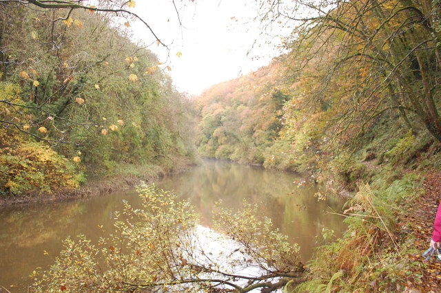
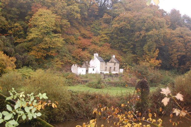
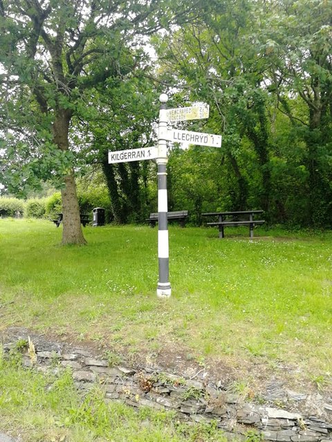
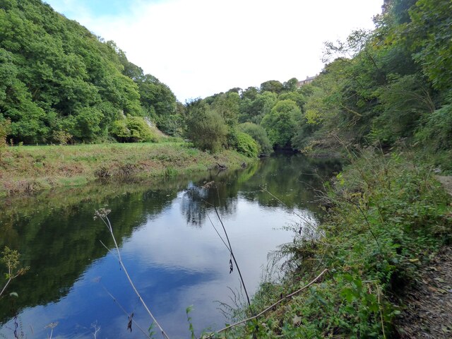
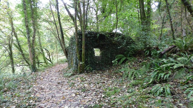
The wood is situated on the banks of the River Teifi, offering stunning views of the river and the surrounding landscape. It is a popular destination for nature lovers, hikers, and birdwatchers, who can explore its numerous walking trails and bird hides. The wood is home to a variety of tree species, including oak, ash, beech, and birch, which create a dense canopy and provide a habitat for a wide range of wildlife.

The forest is particularly renowned for its bird population, with species such as buzzards, woodpeckers, and red kites frequently spotted in the area. Visitors can also glimpse small mammals like squirrels, badgers, and foxes, as well as a diverse array of insects and butterflies.

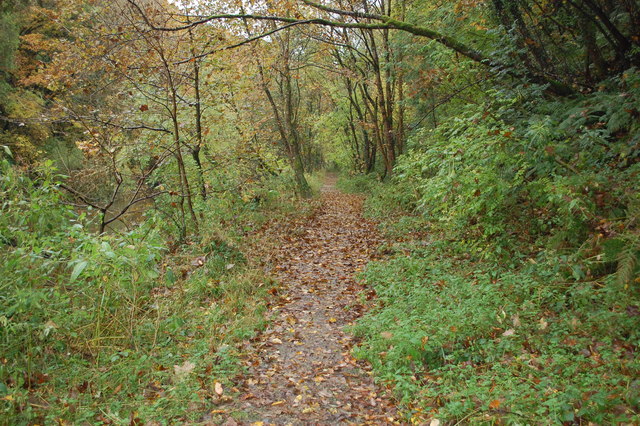
Allt Glan-Teifi offers a tranquil and peaceful environment, perfect for those seeking a break from the hustle and bustle of city life. It provides opportunities for outdoor activities like picnicking, cycling, and photography. The wood is well-maintained, with clearly marked paths and seating areas, making it accessible for people of all ages and abilities.

Overall, Allt Glan-Teifi is a stunning forested area in Cardiganshire that offers visitors a chance to immerse themselves in nature, enjoy breathtaking views, and discover the diverse wildlife that calls this wood home.

If you have any feedback on the listing, please let us know in the comments section below.

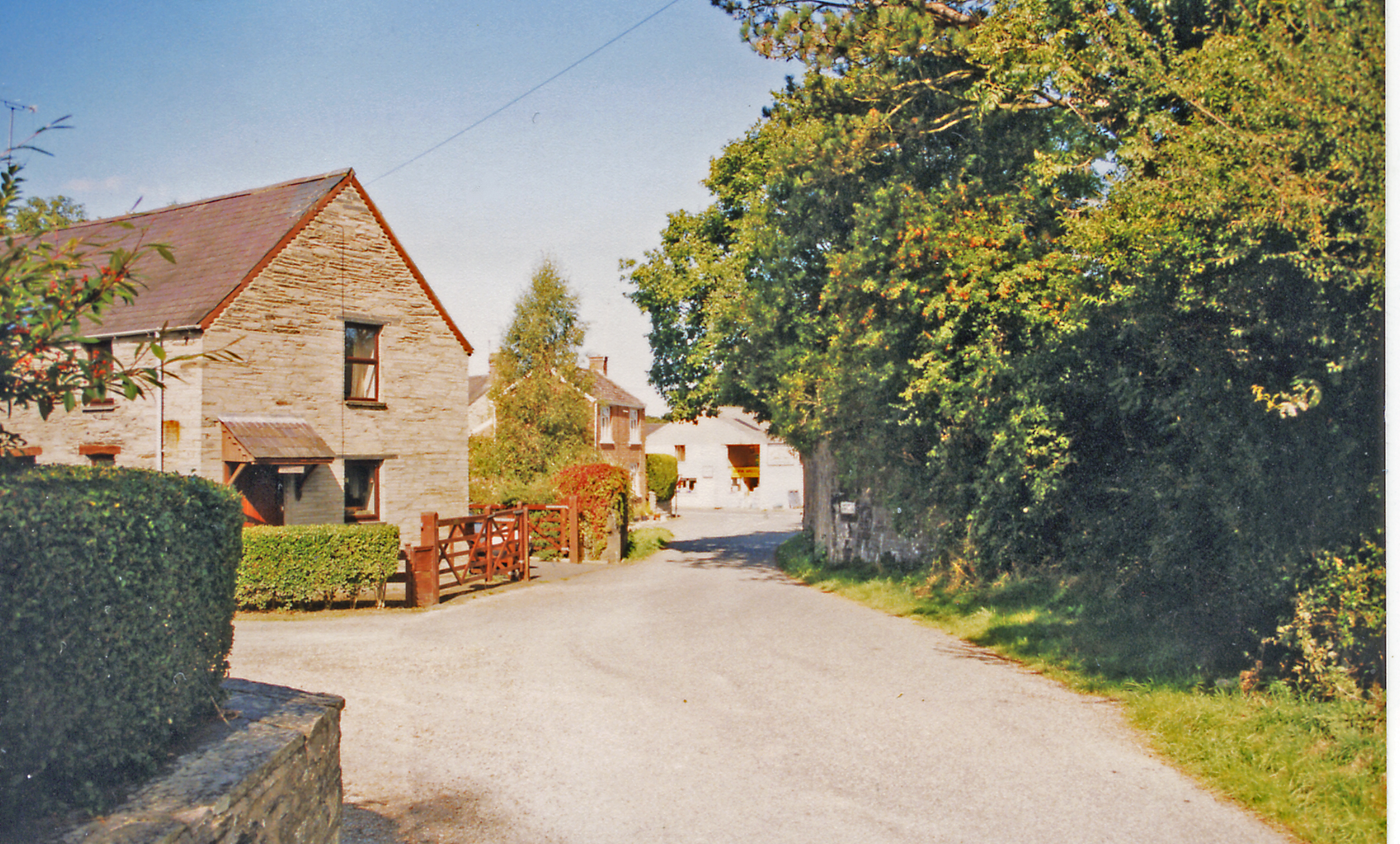
Allt Glan-Teifi Images

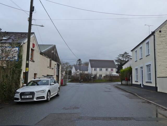
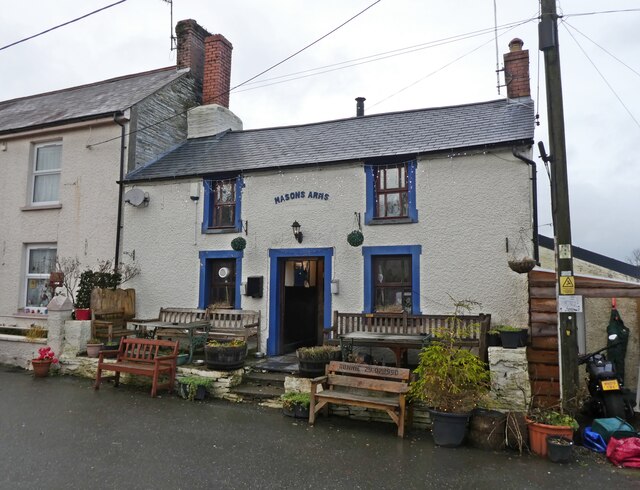
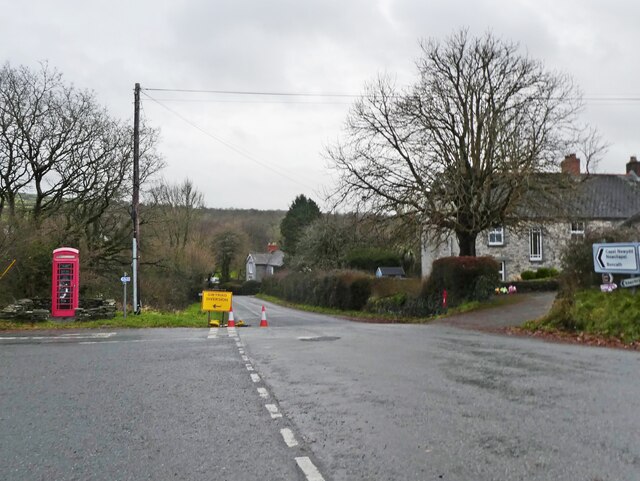
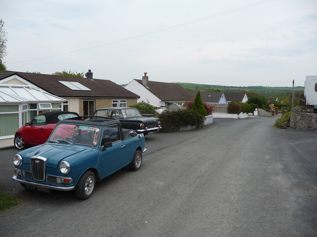
Images are sourced within 2km of 52.057612/-4.6325368 or Grid Reference SN1943. Thanks to Geograph Open Source API. All images are credited.

Afon Teifi and ruined house The house (white) can be seen left of centre. Walking by the river now it is hard to imagine that not so long ago it was a hive of activity, industry, commerce and quarrying.
Afon Teifi and ruined house
The house (white) can be seen left of centre. Walking by the river now it is hard to imagine that not so long ago it was a hive of activity, industry, commerce and quarrying.
Riverside path By the Teifi near Cnwcau.
Riverside path
By the Teifi near Cnwcau.
Bend on the Afon Teifi Near Llechryd.
Bend on the Afon Teifi
Near Llechryd.
Ruined house by the Afon Teifi Either a former farmhouse or associated with the industry and quarrying in the valley here.
Ruined house by the Afon Teifi
Either a former farmhouse or associated with the industry and quarrying in the valley here.
Ordnance Survey Cut Mark This OS cut mark can be found on the SW face of the Lodge. It marks a point 66.023m above mean sea level.
Ordnance Survey Cut Mark
This OS cut mark can be found on the SW face of the Lodge. It marks a point 66.023m above mean sea level.
Direction Sign – Signpost Located on the northeast side of the T junction on Garnon's Mill Road in Cilgerran community. 3 arms and ball finial. 

Milestone Society National ID: PEM_SN2042
Direction Sign – Signpost
Located on the northeast side of the T junction on Garnon's Mill Road in Cilgerran community. 3 arms and ball finial. Milestone Society National ID: PEM_SN2042
Kilgerran railway station (site), Pembrokeshire Opened in 1886 by the Whitland and Taf Vale Railway, later part of the Great Western Railway, on the line from Whitland to Cardigan, this station closed to passengers in 1962 and completely in 1963.
View north east at the site. A steep path led up to the station building, now replaced by a small housing estate. The abutment which carried the former railway bridge left to right over the road is however still clearly visible, on the left of the image. Note the station was always "Kilgerran" whereas the village is "Cilgerran".
For more information, see <span class="nowrap"><a title="http://www.disused-stations.org.uk/k/kilgerran/index.shtml" rel="nofollow ugc noopener" href="http://www.disused-stations.org.uk/k/kilgerran/index.shtml">Link</a><img style="margin-left:2px;" alt="External link" title="External link - shift click to open in new window" src="https://s1.geograph.org.uk/img/external.png" width="10" height="10"/></span>.
Kilgerran railway station (site), Pembrokeshire
Opened in 1886 by the Whitland and Taf Vale Railway, later part of the Great Western Railway, on the line from Whitland to Cardigan, this station closed to passengers in 1962 and completely in 1963. View north east at the site. A steep path led up to the station building, now replaced by a small housing estate. The abutment which carried the former railway bridge left to right over the road is however still clearly visible, on the left of the image. Note the station was always "Kilgerran" whereas the village is "Cilgerran". For more information, see LinkExternal link.
River Teifi
River Teifi
Quarry Building Remains of a building associated with slate quarrying near Cilgerran.
Quarry Building
Remains of a building associated with slate quarrying near Cilgerran.
Masons Arms, Cnwcau
Masons Arms, Cnwcau
Turning for Llechryd
Part of a road in Lwyncelyn near Cilgerran One of the residents in these bungalows is a classic car devotee.
Part of a road in Lwyncelyn near Cilgerran
One of the residents in these bungalows is a classic car devotee.
Ruined cottage in the Teifi gorge below Cilgerran This old cottage sits above a curve of the river looking across to the old slate quarries, now long abandoned.
Ruined cottage in the Teifi gorge below Cilgerran
This old cottage sits above a curve of the river looking across to the old slate quarries, now long abandoned.
Dog Food Dave A business at the eastern end of High Street, Cilgerran. It is a very long village.
Dog Food Dave
A business at the eastern end of High Street, Cilgerran. It is a very long village.
Masons Arms, Cilgerran Right at the eastern end of the village. A footpath goes down to Afon Teifi by the side of the pub.
Masons Arms, Cilgerran
Right at the eastern end of the village. A footpath goes down to Afon Teifi by the side of the pub.
Industrial units on the edge of Cilgerran
Canoeist on Afon Teifi The house opposite is derelict.
Canoeist on Afon Teifi
The house opposite is derelict.
Show me another place!

Allt Glan-Teifi is located at Grid Ref: SN1943 (Lat: 52.057612, Lng: -4.6325368)

Unitary Authority: Ceredigion

Police Authority: Dyfed Powys

What 3 Words

///ghosts.textiles.results. Near Cardigan, Ceredigion

Related Wikis

Cilgerran Castle

Cilgerran Castle (Welsh: Castell Cilgerran) is a 13th-century ruined castle located in Cilgerran, Pembrokeshire, Wales, near Cardigan. The first castle...

Coedmor National Nature Reserve

Coedmor National Nature Reserve is a nature reserve in Wales, located just south of Cardigan, between Llechryd Bridge and the Teifi Marshes in Ceredigion...

Cilgerran

Cilgerran (previously Kilgerran or Cil-Garon) is both a village, a parish, and also a community, situated on the south bank of the River Teifi in Pembrokeshire...

Kilgerran Halt railway station

Kilgerran Halt railway station served the village of Cilgerran, Pembrokeshire, Wales, from 1886 to 1963 on the Whitland and Cardigan Railway. == History... ==

Have you been to Allt Glan-Teifi?

Leave your review of Allt Glan-Teifi below (or comments, questions and feedback).