Allt Mynydd-crogwy
Wood, Forest in Pembrokeshire
Wales
Allt Mynydd-crogwy

The requested URL returned error: 429 Too Many Requests
If you have any feedback on the listing, please let us know in the comments section below.
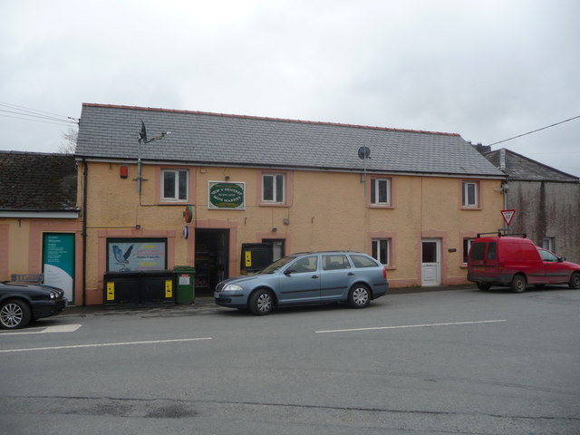
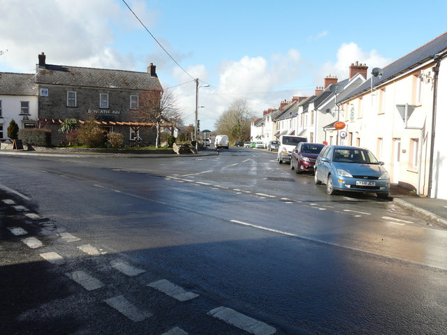
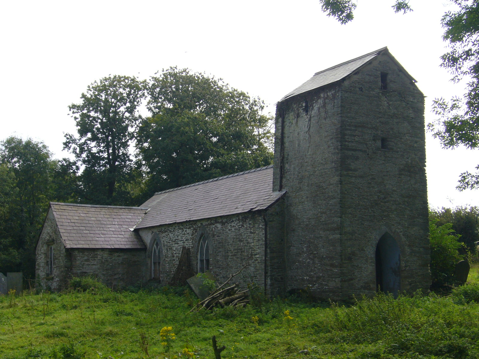
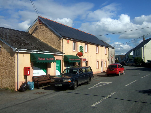
Allt Mynydd-crogwy Images
Images are sourced within 2km of 52.02207/-4.6326492 or Grid Reference SN1939. Thanks to Geograph Open Source API. All images are credited.


Allt Mynydd-crogwy is located at Grid Ref: SN1939 (Lat: 52.02207, Lng: -4.6326492)
Unitary Authority: Pembrokeshire
Police Authority: Dyfed Powys
What 3 Words
///filer.zaps.doubts. Near Crymych, Pembrokeshire
Nearby Locations
Related Wikis

Rhoshill, Pembrokeshire
Rhoshill (also known as Rhos-hill) is a hamlet on the A478 road, in the community and parish of Cilgerran, in Pembrokeshire, South-west Wales. The hamlet...
Llanfihangel Penbedw
Llanfihangel Penbedw is a parish in the former Hundred of Kilgerran in northeast Pembrokeshire, Wales. The parish, a joint curacy with Capel Colman, in...

Boncath railway station
Boncath railway station served the village of Boncath, Pembrokeshire, Wales, from 1886 to 1963 on the Whitland and Cardigan Railway. == History == The...
Boncath
Boncath is a village, community and postal district in north Pembrokeshire, Wales, about 5 miles (8.0 km) west of Newcastle Emlyn. The village stands at...
Nearby Amenities
Located within 500m of 52.02207,-4.6326492Have you been to Allt Mynydd-crogwy?
Leave your review of Allt Mynydd-crogwy below (or comments, questions and feedback).