Cilgerran Castle
Heritage Site in Cardiganshire
Wales
Cilgerran Castle
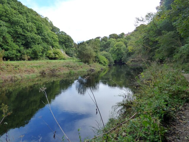
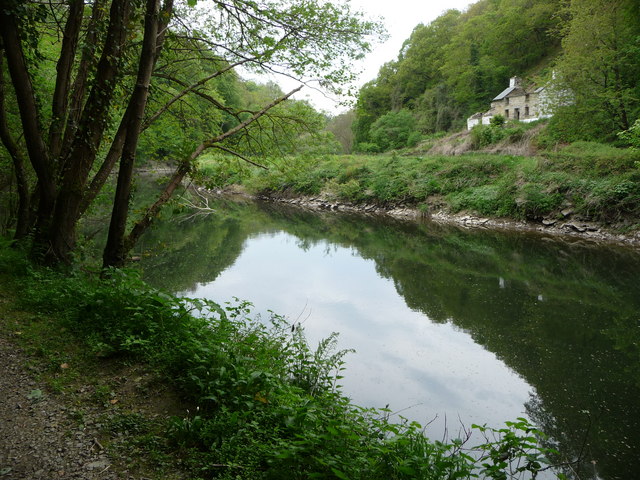
Cilgerran Castle is a historic fortress located in Cardiganshire, Wales. Situated on a rocky promontory overlooking the River Teifi, this medieval castle is renowned for its strategic position and breathtaking views of the surrounding landscape. The castle's origins can be traced back to the 12th century when it was built by Gerald of Windsor, a Norman knight.
The castle consists of a circular inner ward surrounded by a curtain wall, which was later reinforced with four massive round towers. Access to the inner ward is through a well-preserved gatehouse, featuring a portcullis and a drawbridge. The castle's design reflects the transition from the motte-and-bailey style to more sophisticated stone fortifications.
Throughout its history, Cilgerran Castle witnessed several battles and sieges. It played a crucial role in the struggles between the Welsh and Norman invaders. Ownership of the castle changed hands several times until the 14th century when it fell under the control of the Crown.
Today, Cilgerran Castle is a popular heritage site managed by Cadw, the Welsh government's historic environment service. Visitors can explore the castle's ruins and learn about its history through informative display boards. The site also hosts events and re-enactments, allowing visitors to experience the castle's medieval past firsthand.
Cilgerran Castle's picturesque setting and historical significance make it a must-visit destination for history enthusiasts and tourists alike. Its commanding position overlooking the River Teifi and the surrounding countryside offers visitors a glimpse into the castle's strategic importance in the region's turbulent past.
If you have any feedback on the listing, please let us know in the comments section below.
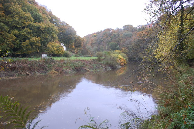
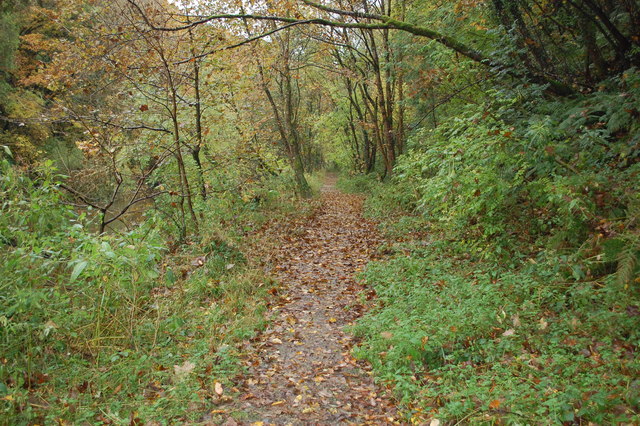
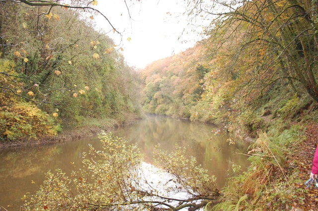
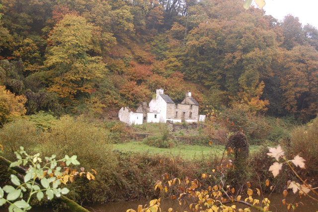
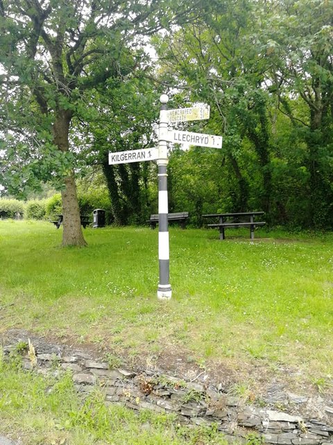
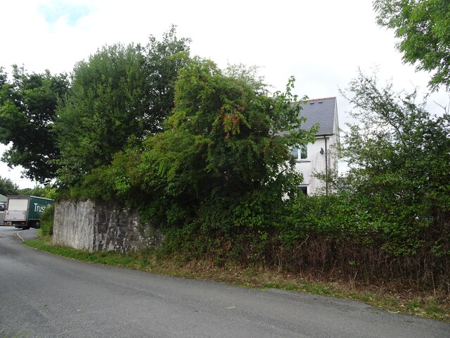
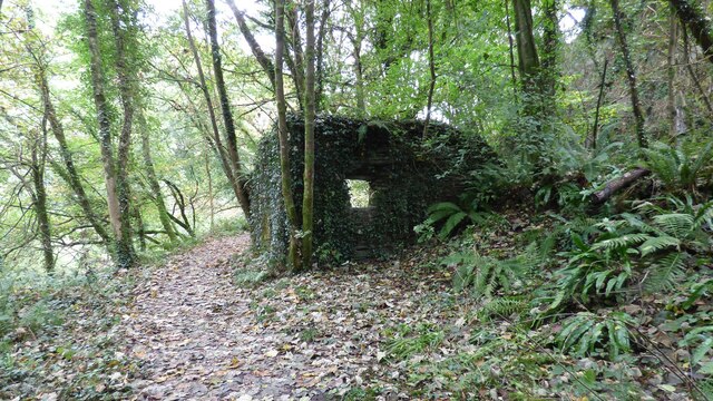
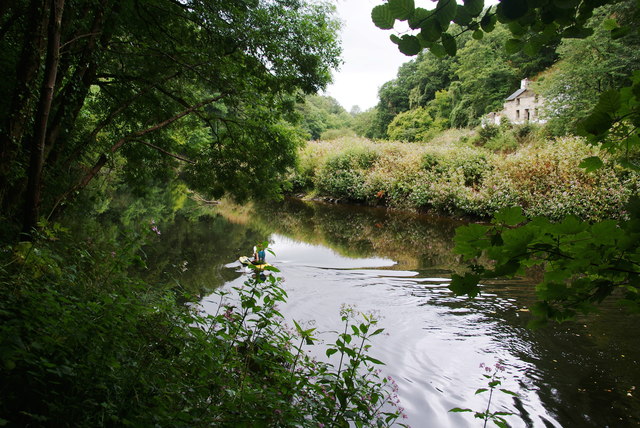
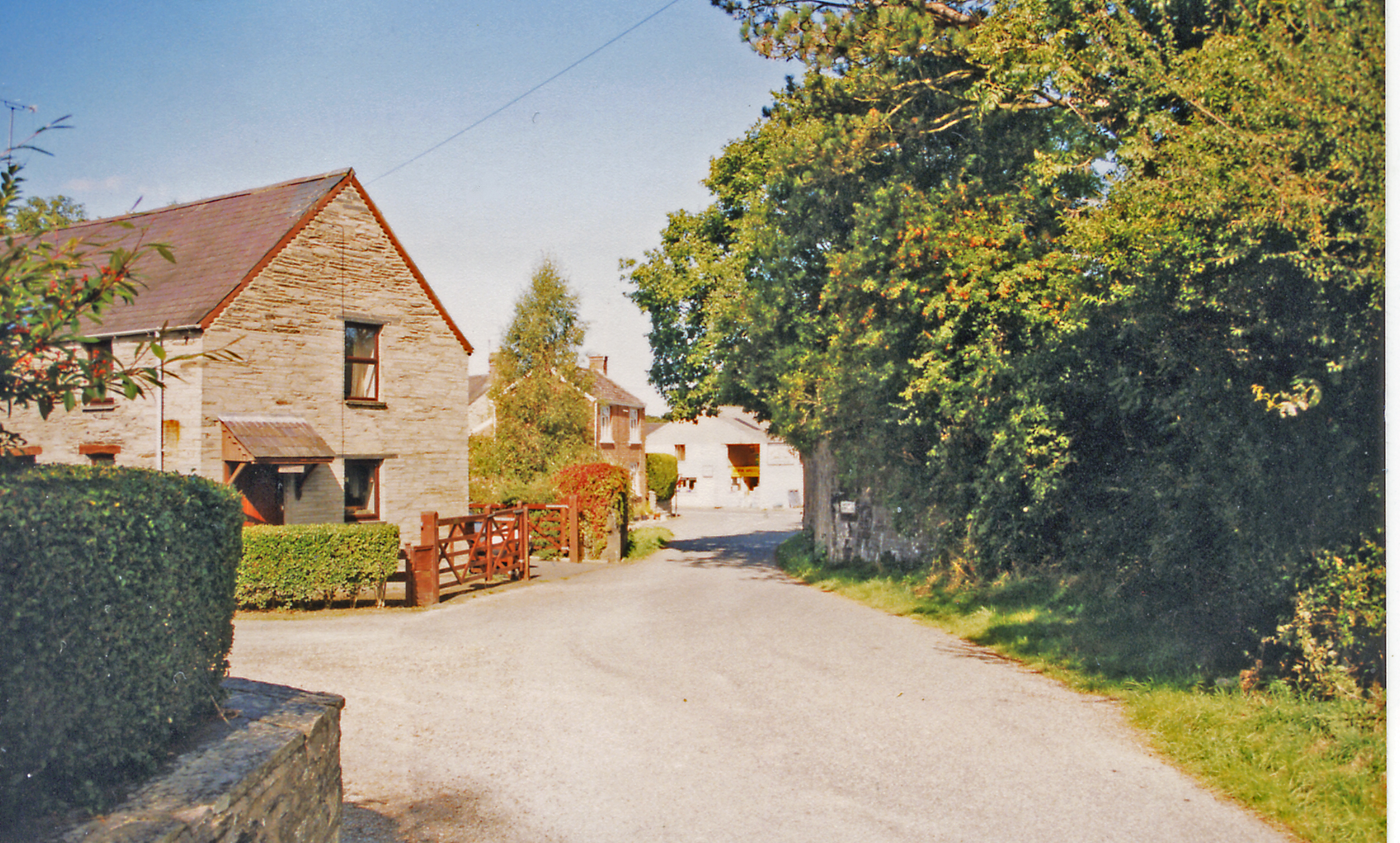
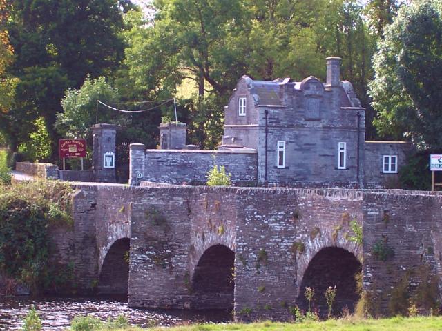
Cilgerran Castle Images
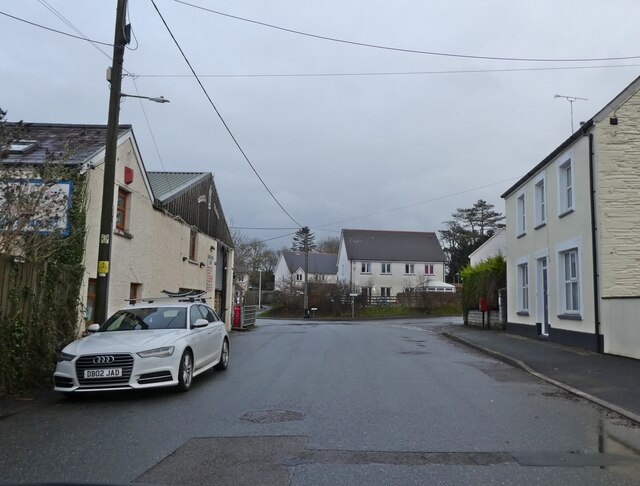
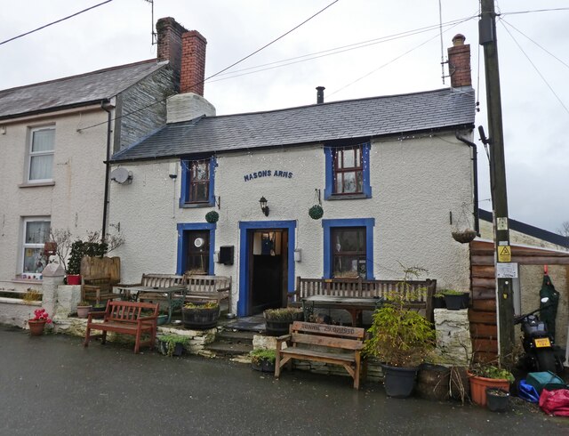
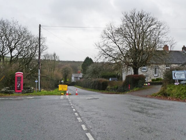
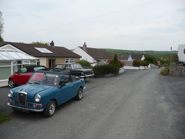
Images are sourced within 2km of 52.06/-4.633 or Grid Reference SN1943. Thanks to Geograph Open Source API. All images are credited.

Cilgerran Castle is located at Grid Ref: SN1943 (Lat: 52.06, Lng: -4.633)
Unitary Authority: Ceredigion
Police Authority: Dyfed Powys
What 3 Words
///lower.novelist.disposing. Near Cardigan, Ceredigion
Nearby Locations
Related Wikis

Coedmor National Nature Reserve
Coedmor National Nature Reserve is a nature reserve in Wales, located just south of Cardigan, between Llechryd Bridge and the Teifi Marshes in Ceredigion...

Cilgerran Castle
Cilgerran Castle (Welsh: Castell Cilgerran) is a 13th-century ruined castle located in Cilgerran, Pembrokeshire, Wales, near Cardigan. The first castle...

Cilgerran
Cilgerran (previously Kilgerran or Cil-Garon) is both a village, a parish, and also a community, situated on the south bank of the River Teifi in Pembrokeshire...
Kilgerran Halt railway station
Kilgerran Halt railway station served the village of Cilgerran, Pembrokeshire, Wales, from 1886 to 1963 on the Whitland and Cardigan Railway. == History... ==
Neuadd Wilym
Neuadd Wilym is a small village in the community of Llangoedmor, Ceredigion, Wales, which is 74.2 miles (119.4 km) from Cardiff and 196 miles (315.4 km...
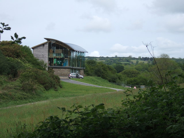
Welsh Wildlife Centre
The Welsh Wildlife Centre is a wildlife reserve covering Teifi Marshes, near Cilgerran on the Pembrokeshire/Ceredigion border, Wales. The site is located...

Castell Malgwyn
Castell Malgwyn (alternatively Castle Malgwyn or Hammet House) is a grade II listed Georgian-style country house standing in a landscaped estate in the...
Llechryd
Llechryd (Welsh pronunciation: [ɬɛxrɪd]) is a rural village on the A484 road approximately 3 miles (4.8 km) from Cardigan, Ceredigion, Wales. Situated...
Nearby Amenities
Located within 500m of 52.06,-4.633Have you been to Cilgerran Castle?
Leave your review of Cilgerran Castle below (or comments, questions and feedback).