Allt Graig
Wood, Forest in Pembrokeshire
Wales
Allt Graig

Allt Graig, located in Pembrokeshire, Wales, is a picturesque wood or forest that showcases the natural beauty of the area. Spread across an area of approximately 20 acres, this woodland is a haven for nature lovers and outdoor enthusiasts.
The wood is dominated by a mixture of broadleaf trees, including oak, ash, beech, and birch, creating a diverse and vibrant ecosystem. The dense canopy provides shelter and habitat for a variety of wildlife, including birds, small mammals, and insects.
Visitors to Allt Graig can explore the woodland via a network of well-maintained footpaths, allowing them to immerse themselves in the serene surroundings. The paths wind through the trees, offering glimpses of sunlight filtering through the leaves and the soothing sounds of nature.
In addition to its natural beauty, Allt Graig also holds historical significance. The wood is home to ancient earthworks, believed to be remnants of an Iron Age hillfort. These archaeological features add an extra layer of interest and intrigue to the site, attracting history enthusiasts and archaeology buffs.
Allt Graig is open to the public year-round and provides a tranquil escape from the hustle and bustle of everyday life. Whether it's a leisurely stroll, a bird-watching expedition, or a picnic amidst the trees, this woodland offers something for everyone seeking a connection with nature and a sense of tranquility.
If you have any feedback on the listing, please let us know in the comments section below.
Allt Graig Images
Images are sourced within 2km of 51.944435/-4.6333658 or Grid Reference SN1930. Thanks to Geograph Open Source API. All images are credited.


Allt Graig is located at Grid Ref: SN1930 (Lat: 51.944435, Lng: -4.6333658)
Unitary Authority: Pembrokeshire
Police Authority: Dyfed Powys
What 3 Words
///info.outs.event. Near Glandwr, Pembrokeshire
Nearby Locations
Related Wikis

Pentre Galar
Pentre Galar (or Pentregalar, Pentre-Galar) is a small settlement in the Preseli Mountains south of the village of Crymych, north Pembrokeshire, Wales...
Lammas Ecovillage
Lammas Ecovillage (Welsh: Tir-y-Gafel) is a low-impact, off-grid ecovillage in Glandwr, near Crymych in Pembrokeshire, West Wales, comprising nine households...
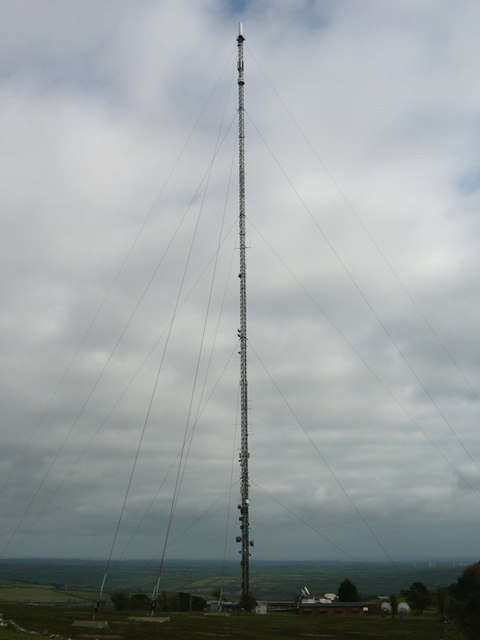
Preseli transmitting station
The Preseli transmitting station (formerly spelt Presely) is a broadcasting and telecommunications facility on the eastern end of the Preseli Mountains...

Glandwr, Pembrokeshire
Glandwr is a small rural village in the parish of Llanfyrnach and the community of Crymych, Pembrokeshire, Wales. The village appears on a pre-1850 parish...
Nearby Amenities
Located within 500m of 51.944435,-4.6333658Have you been to Allt Graig?
Leave your review of Allt Graig below (or comments, questions and feedback).