Yapham
Civil Parish in Yorkshire
England
Yapham
Yapham is a civil parish located in the East Riding of Yorkshire, England. Situated approximately 5 miles east of Pocklington and 15 miles east of the city of York, it covers an area of about 5 square miles. The village of Yapham is the main settlement within the parish.
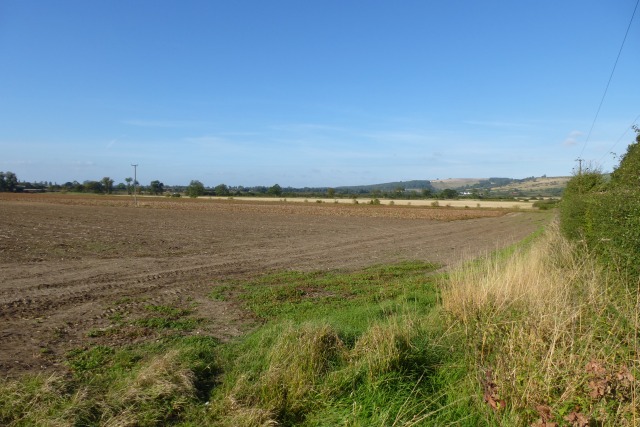
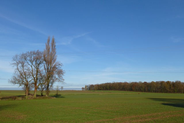
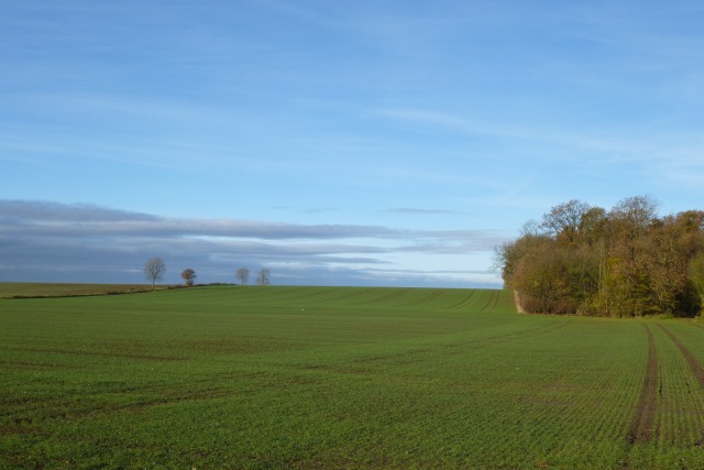
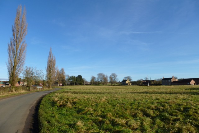
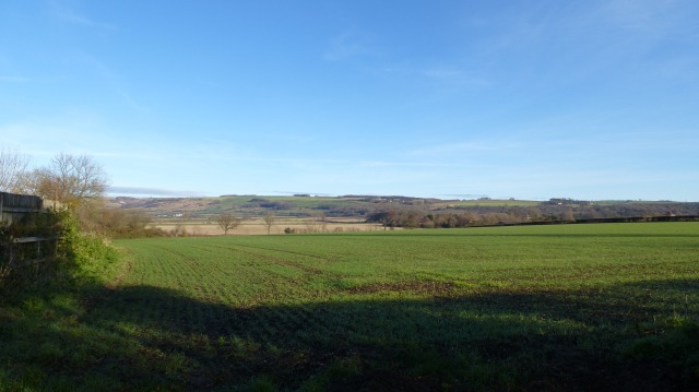
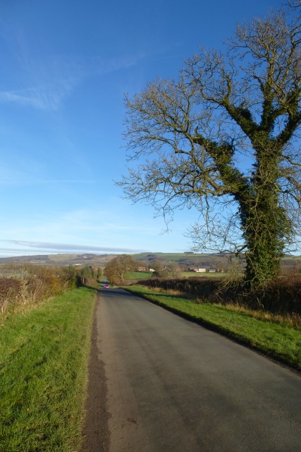
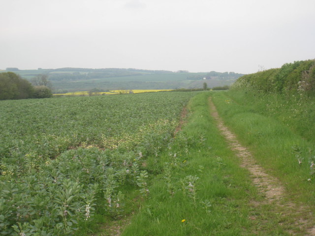
Yapham is a rural area with a population of around 300 people. The landscape is characterized by undulating hills, open fields, and scattered woodland. The parish is predominantly agricultural, with farming being the primary economic activity. The fertile soil and favorable climate make it suitable for growing a variety of crops, including cereals, vegetables, and fruits.
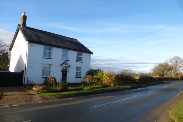
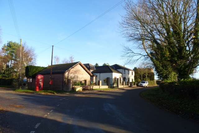
The village of Yapham itself is small but charming, with a mix of traditional stone-built cottages and more modern houses. It has a picturesque church, St. Martin's, which dates back to the 12th century. The church is a focal point of the community and holds regular worship services.
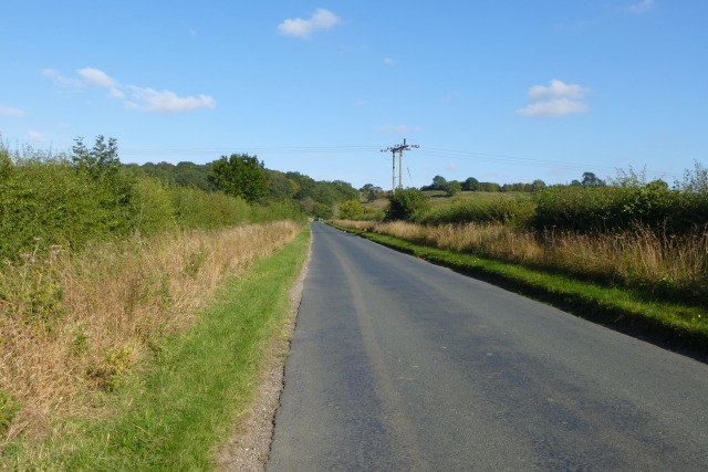
Yapham is surrounded by beautiful countryside, making it a popular destination for outdoor activities such as walking, cycling, and horse riding. The nearby Yorkshire Wolds provide stunning views and offer opportunities for exploring nature.
Although Yapham is a peaceful and tranquil place, it benefits from its proximity to larger towns and cities. This allows residents to access amenities and services not available within the parish, such as schools, healthcare facilities, and shopping centers.
Overall, Yapham offers a quintessential rural English experience, with its idyllic countryside, close-knit community, and access to both nature and urban conveniences.
If you have any feedback on the listing, please let us know in the comments section below.
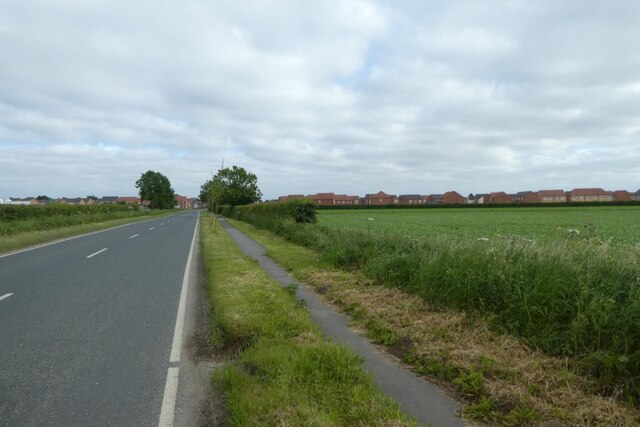
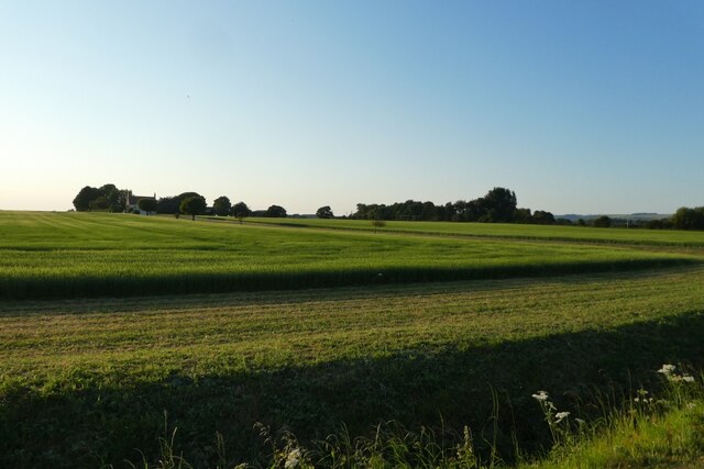
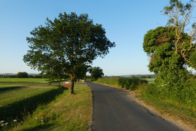
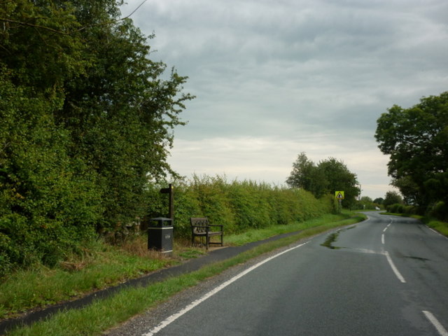
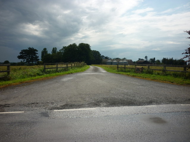
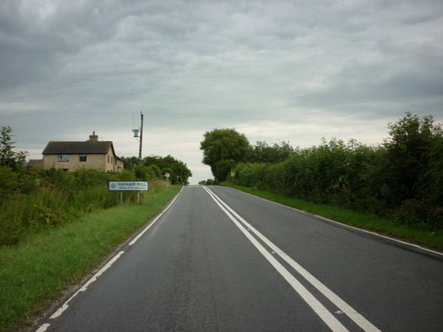
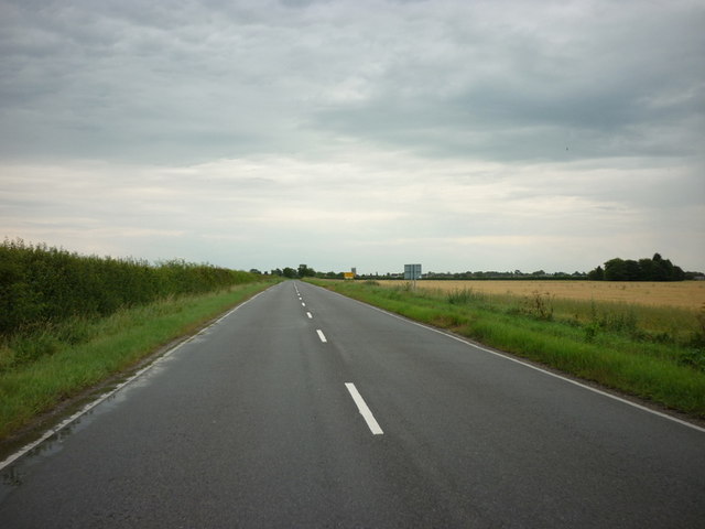
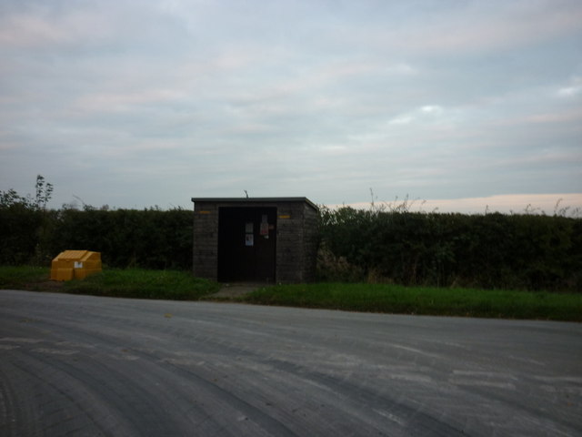
Yapham Images
Images are sourced within 2km of 53.953605/-0.798288 or Grid Reference SE7851. Thanks to Geograph Open Source API. All images are credited.
Yapham is located at Grid Ref: SE7851 (Lat: 53.953605, Lng: -0.798288)
Division: East Riding
Unitary Authority: East Riding of Yorkshire
Police Authority: Humberside
What 3 Words
///insisting.tweaked.loaning. Near Pocklington, East Yorkshire
Nearby Locations
Related Wikis

Yapham
Yapham is a village and civil parish in the East Riding of Yorkshire, Northern England. It is situated about 2 miles (3.2 km) north-east of Pocklington...
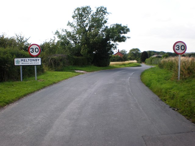
Meltonby
Meltonby is a hamlet in the civil parish of Yapham, in the East Riding of Yorkshire, England. It is situated approximately 2 miles (3.2 km) north of Pocklington...

Yapham Gate railway station
Yapham Gate railway station was a station on the York to Beverley Line in the East Riding of Yorkshire, England. It opened on 4 October 1847 and served...

Bolton, East Riding of Yorkshire
Bolton is a village and former civil parish, now in the parish of Fangfoss, in the East Riding of Yorkshire, England. It is situated approximately 10 miles...
Nearby Amenities
Located within 500m of 53.953605,-0.798288Have you been to Yapham?
Leave your review of Yapham below (or comments, questions and feedback).