Rowland Hill
Hill, Mountain in Yorkshire
England
Rowland Hill
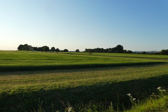
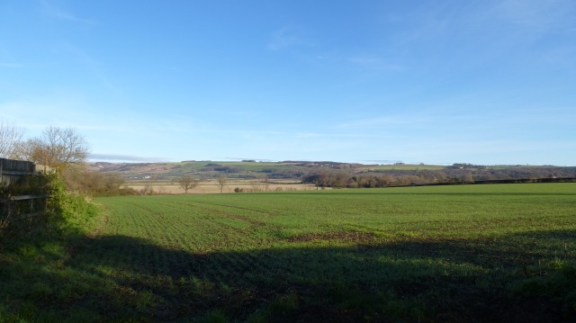
Rowland Hill, Yorkshire, is a prominent hill located in the county of Yorkshire, England. Situated in the beautiful Yorkshire Dales National Park, it is a popular destination for outdoor enthusiasts and nature lovers. With an elevation of approximately 527 meters (1,729 feet), Rowland Hill offers stunning panoramic views of the surrounding countryside.
The hill is named after Rowland Hill, a prominent local figure who played a significant role in the development of the area. He was known for his contributions to improving the local economy and agricultural practices. Today, the hill stands as a testament to his legacy.
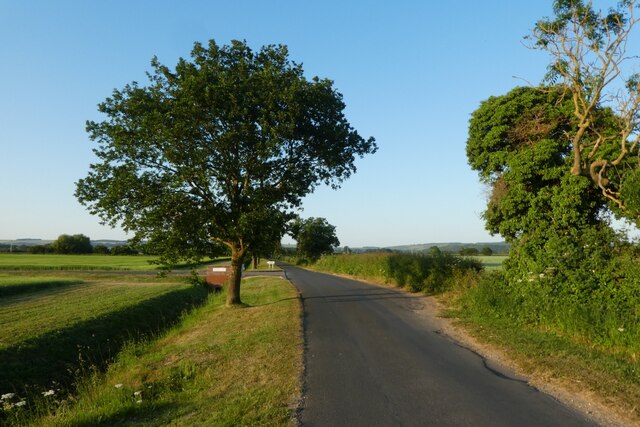
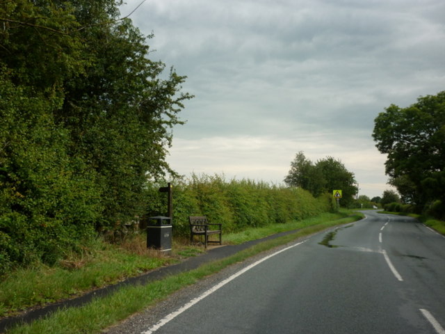
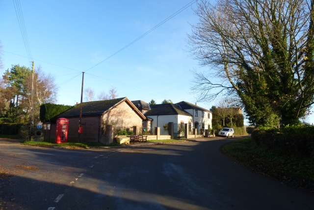
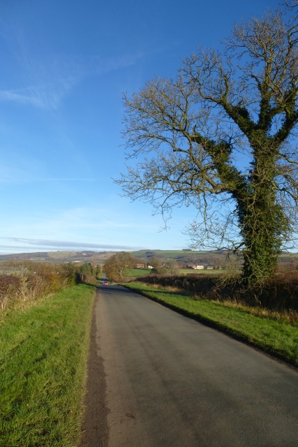
The landscape of Rowland Hill is characterized by rolling green hills, dotted with sheep and dry stone walls. It is a haven for walkers, hikers, and cyclists, who can explore the numerous trails and paths that crisscross the area. The hill offers a variety of routes, ranging from gentle strolls to more challenging hikes, catering to all levels of fitness and experience.
The flora and fauna of Rowland Hill are also worth mentioning. The hill is home to a diverse range of plant species, including heather, bracken, and wildflowers, creating a vibrant and colorful landscape. Wildlife enthusiasts can spot a variety of bird species, including curlews, lapwings, and grouse, as well as occasional sightings of deer and other small mammals.
Overall, Rowland Hill, Yorkshire, is a picturesque location that showcases the natural beauty of the Yorkshire Dales. It attracts visitors from near and far, offering a tranquil and scenic escape from the hustle and bustle of everyday life.
If you have any feedback on the listing, please let us know in the comments section below.
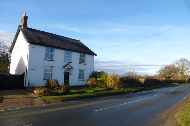
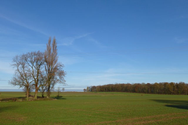
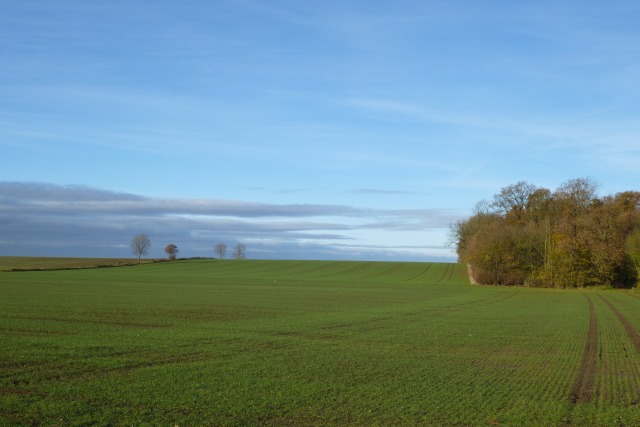
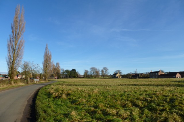
Rowland Hill Images
Images are sourced within 2km of 53.955401/-0.81066346 or Grid Reference SE7851. Thanks to Geograph Open Source API. All images are credited.

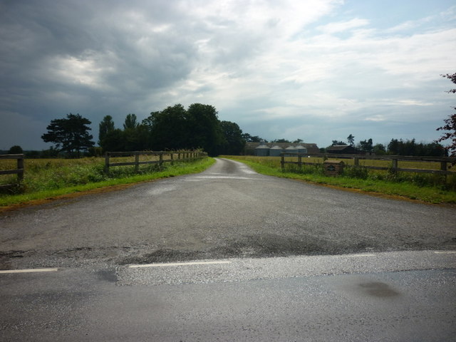
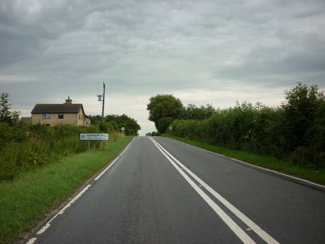
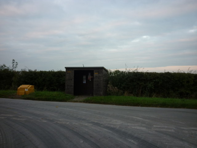
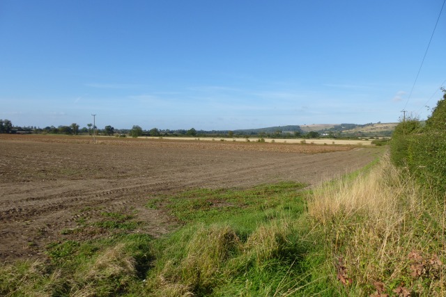


Rowland Hill is located at Grid Ref: SE7851 (Lat: 53.955401, Lng: -0.81066346)
Division: East Riding
Unitary Authority: East Riding of Yorkshire
Police Authority: Humberside
What 3 Words
///intrigues.bypassed.jokers. Near Pocklington, East Yorkshire
Nearby Locations
Related Wikis

Yapham
Yapham is a village and civil parish in the East Riding of Yorkshire, Northern England. It is situated about 2 miles (3.2 km) north-east of Pocklington...

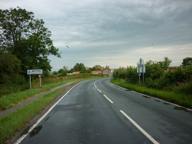
Bolton, East Riding of Yorkshire
Bolton is a village and former civil parish, now in the parish of Fangfoss, in the East Riding of Yorkshire, England. It is situated approximately 10 miles...

Yapham Gate railway station
Yapham Gate railway station was a station on the York to Beverley Line in the East Riding of Yorkshire, England. It opened on 4 October 1847 and served...
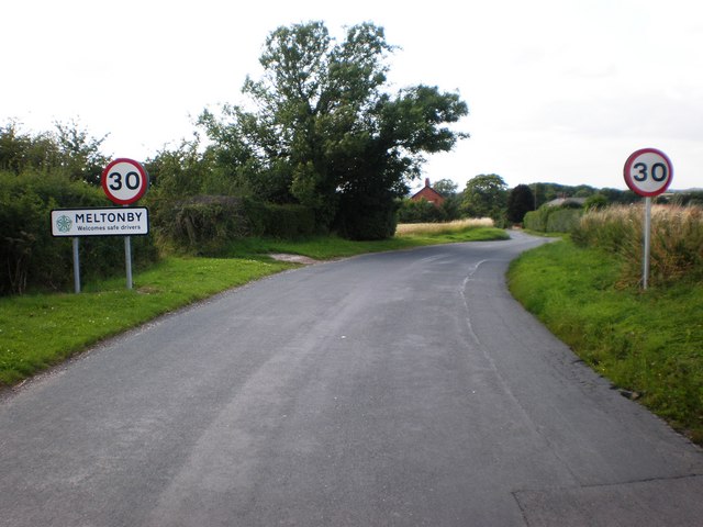
Meltonby
Meltonby is a hamlet in the civil parish of Yapham, in the East Riding of Yorkshire, England. It is situated approximately 2 miles (3.2 km) north of Pocklington...
Nearby Amenities
Located within 500m of 53.955401,-0.81066346Have you been to Rowland Hill?
Leave your review of Rowland Hill below (or comments, questions and feedback).