Crow Wood
Wood, Forest in Yorkshire
England
Crow Wood

Crow Wood is a picturesque forest located in Yorkshire, England. It covers an area of approximately 200 acres and is known for its captivating beauty and diverse wildlife. The wood is situated in a rural area, surrounded by rolling hills and quaint villages, offering visitors a peaceful and tranquil escape from the bustling city life.
The forest is primarily composed of native British trees such as oak, beech, and ash, which form a dense canopy overhead, providing shade and shelter for the various animal species that call Crow Wood their home. The woodland floor is covered in a lush carpet of ferns, mosses, and wildflowers, creating a vibrant and enchanting atmosphere.
Nature enthusiasts flock to Crow Wood to explore its numerous walking trails, which wind through the forest and offer stunning views of the surrounding landscape. The trails cater to all abilities, ranging from gentle strolls to more challenging hikes, ensuring that visitors of all ages and fitness levels can enjoy the wood's wonders.
Birdwatchers are in for a treat as Crow Wood is a haven for a wide range of bird species. From the melodious songs of thrushes to the majestic flight of owls, the wood is a paradise for ornithologists and bird lovers alike. Additionally, the forest is home to various mammals, including deer, foxes, and badgers, which can often be spotted during early morning or evening walks.
Overall, Crow Wood offers a captivating and immersive experience for nature lovers. Its untouched beauty, abundant wildlife, and serene ambiance make it a must-visit destination for those seeking to reconnect with nature in the heart of Yorkshire.
If you have any feedback on the listing, please let us know in the comments section below.
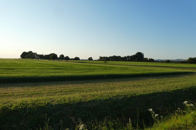
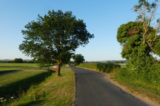
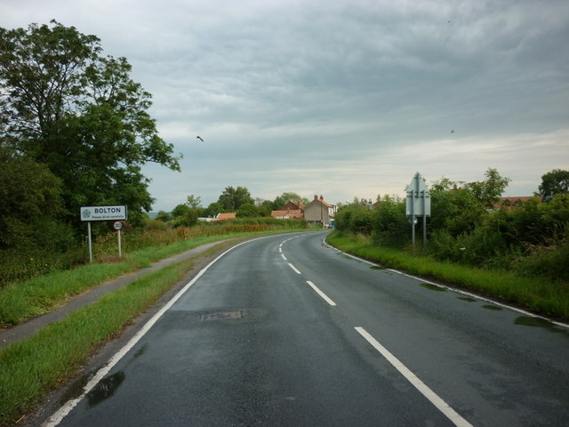
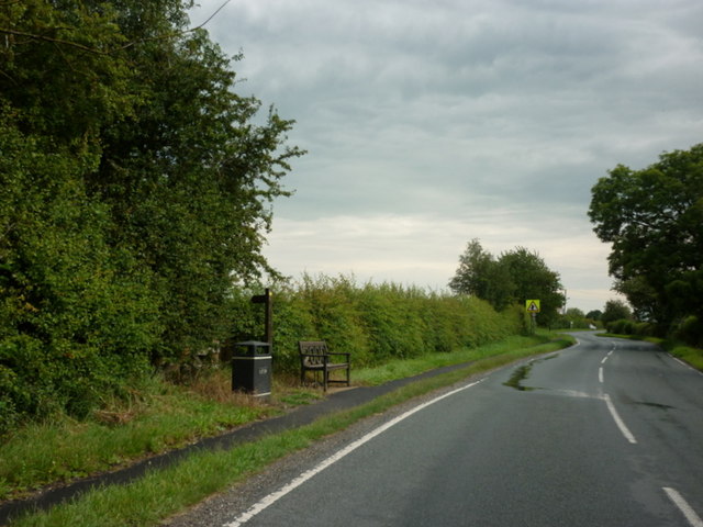
Crow Wood Images
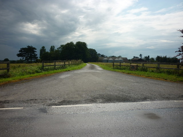
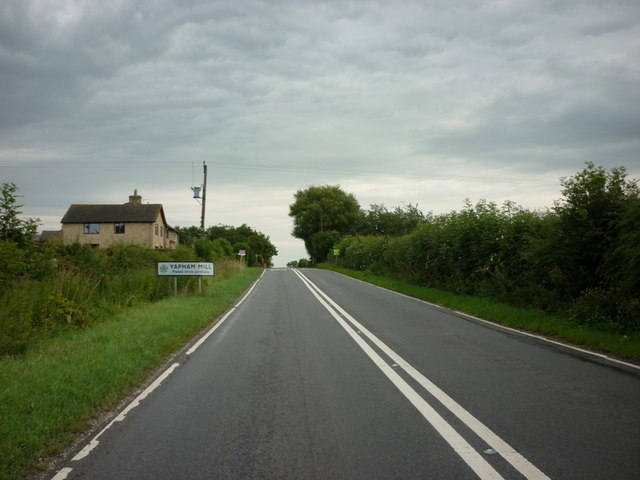
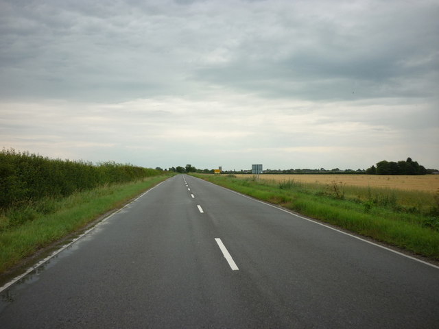
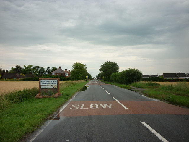
Images are sourced within 2km of 53.950437/-0.80588279 or Grid Reference SE7851. Thanks to Geograph Open Source API. All images are credited.


Crow Wood is located at Grid Ref: SE7851 (Lat: 53.950437, Lng: -0.80588279)
Division: East Riding
Unitary Authority: East Riding of Yorkshire
Police Authority: Humberside
What 3 Words
///giants.shunning.girder. Near Pocklington, East Yorkshire
Nearby Locations
Related Wikis

Yapham
Yapham is a village and civil parish in the East Riding of Yorkshire, Northern England. It is situated about 2 miles (3.2 km) north-east of Pocklington...

Yapham Gate railway station
Yapham Gate railway station was a station on the York to Beverley Line in the East Riding of Yorkshire, England. It opened on 4 October 1847 and served...

Bolton, East Riding of Yorkshire
Bolton is a village and former civil parish, now in the parish of Fangfoss, in the East Riding of Yorkshire, England. It is situated approximately 10 miles...
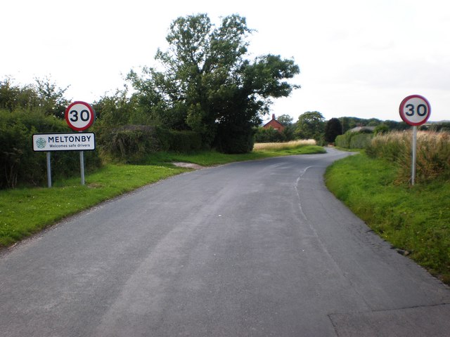
Meltonby
Meltonby is a hamlet in the civil parish of Yapham, in the East Riding of Yorkshire, England. It is situated approximately 2 miles (3.2 km) north of Pocklington...
Nearby Amenities
Located within 500m of 53.950437,-0.80588279Have you been to Crow Wood?
Leave your review of Crow Wood below (or comments, questions and feedback).