Millans Wood
Wood, Forest in Yorkshire
England
Millans Wood
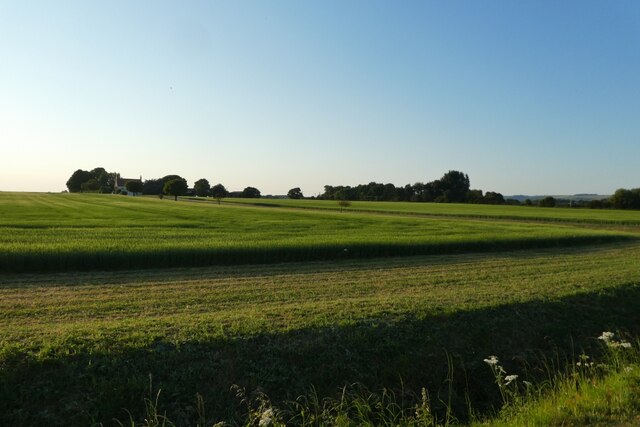
Millans Wood is a picturesque forest located in the county of Yorkshire, England. Nestled amidst the rolling hills and scenic landscapes, this woodland area spans over a considerable expanse, offering visitors a serene and tranquil retreat within nature. The wood is renowned for its abundant flora and fauna, making it a haven for nature enthusiasts and wildlife lovers alike.
The woodland is characterized by its dense canopy of towering trees, primarily consisting of oak, beech, and ash. These majestic trees provide ample shade during the summer months, creating a cool and refreshing atmosphere. The forest floor is carpeted with a variety of wildflowers, such as bluebells, primroses, and foxgloves, which add a vibrant touch of color to the surroundings.
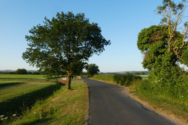
Millans Wood is intersected by numerous footpaths and trails, making it easily accessible for walkers and hikers wishing to explore its beauty. These paths wind through the forest, leading visitors to hidden gems such as babbling brooks, cascading waterfalls, and secluded picnic spots. Additionally, the wood is home to a diverse range of wildlife, including deer, squirrels, rabbits, and a plethora of bird species, making it a fantastic location for birdwatching enthusiasts.
With its tranquil ambiance and natural beauty, Millans Wood offers a peaceful escape from the hustle and bustle of daily life. Whether one seeks a leisurely stroll, an adventurous hike, or simply a moment of solitude among nature, this woodland retreat is sure to captivate and rejuvenate all who visit.
If you have any feedback on the listing, please let us know in the comments section below.
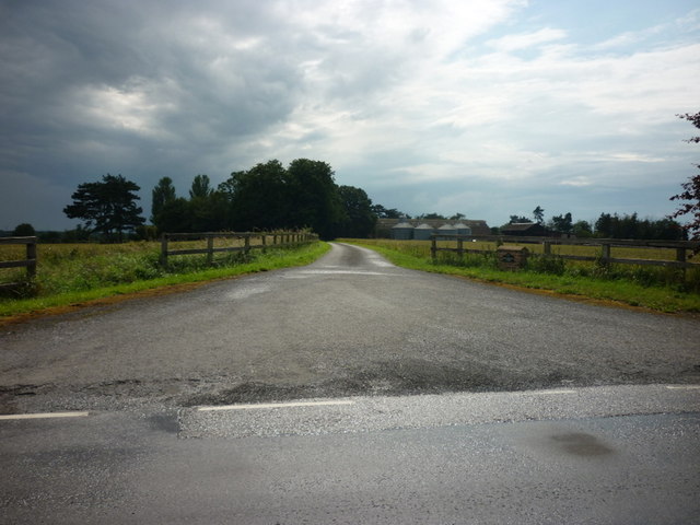
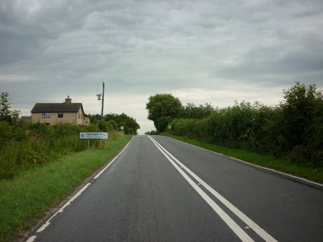
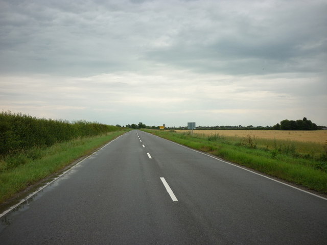
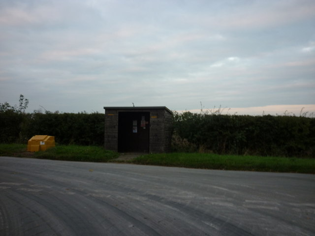
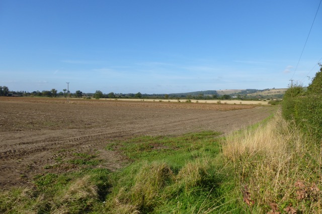
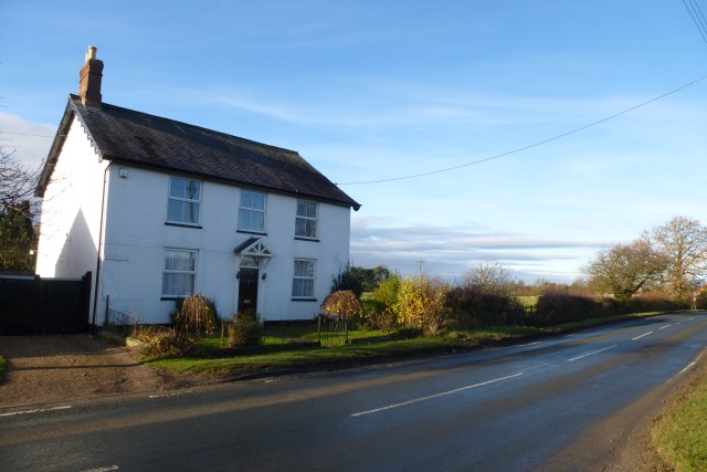
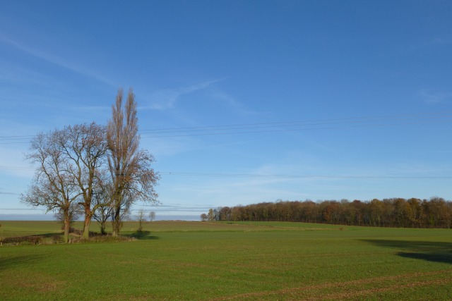
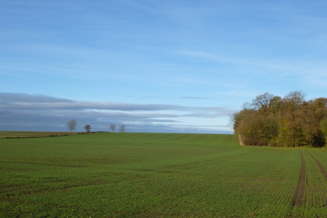
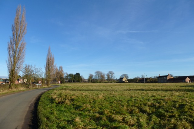
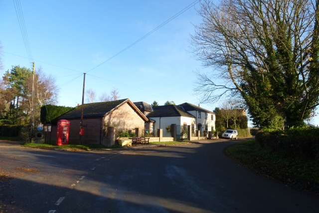
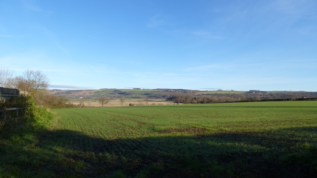
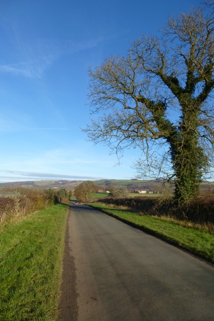
Millans Wood Images
Images are sourced within 2km of 53.955358/-0.80898832 or Grid Reference SE7851. Thanks to Geograph Open Source API. All images are credited.


Millans Wood is located at Grid Ref: SE7851 (Lat: 53.955358, Lng: -0.80898832)
Division: East Riding
Unitary Authority: East Riding of Yorkshire
Police Authority: Humberside
What 3 Words
///inflation.intention.splits. Near Pocklington, East Yorkshire
Nearby Locations
Related Wikis

Yapham
Yapham is a village and civil parish in the East Riding of Yorkshire, Northern England. It is situated about 2 miles (3.2 km) north-east of Pocklington...

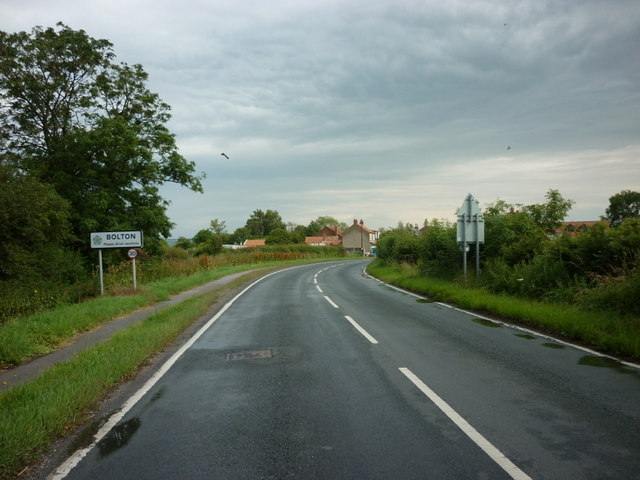
Bolton, East Riding of Yorkshire
Bolton is a village and former civil parish, now in the parish of Fangfoss, in the East Riding of Yorkshire, England. It is situated approximately 10 miles...

Yapham Gate railway station
Yapham Gate railway station was a station on the York to Beverley Line in the East Riding of Yorkshire, England. It opened on 4 October 1847 and served...
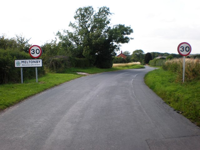
Meltonby
Meltonby is a hamlet in the civil parish of Yapham, in the East Riding of Yorkshire, England. It is situated approximately 2 miles (3.2 km) north of Pocklington...
Nearby Amenities
Located within 500m of 53.955358,-0.80898832Have you been to Millans Wood?
Leave your review of Millans Wood below (or comments, questions and feedback).