Yapton
Civil Parish in Sussex Arun
England
Yapton
Yapton is a civil parish situated in the Arun district of West Sussex, England. It covers an area of approximately 5 square miles and has a population of around 4,500 residents. The village is located about 5 miles northeast of Bognor Regis and 6 miles west of Arundel, making it a convenient location for commuting to these larger towns.
Yapton is a historic village with a rich heritage that dates back to Roman times. The name "Yapton" is believed to have derived from the Saxon word "geap," which means a gap or opening in the landscape, suggesting that the village was situated in a valley or hollow. The area has seen human settlement for centuries, evidenced by the discovery of Roman pottery and other artifacts.
The village itself is characterized by a mix of traditional and modern housing, along with a range of amenities and facilities. It boasts a primary school, a church, a village hall, and several shops and businesses that cater to the needs of the local community. The village also has a number of sports and recreational facilities, including a cricket club, a football club, and a community center.
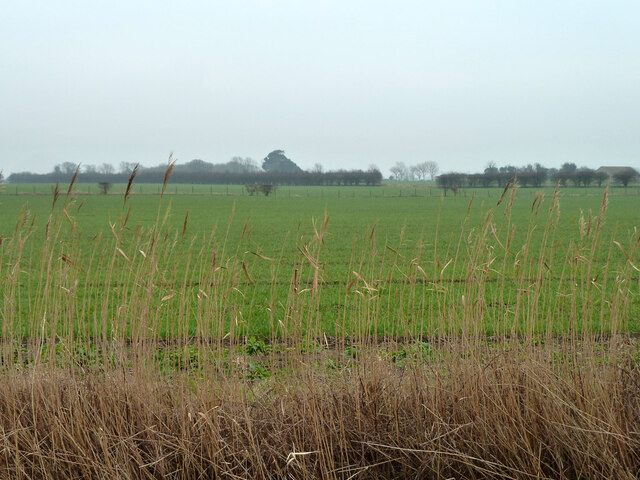
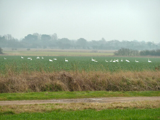
Yapton is surrounded by picturesque countryside, with farmland and open fields stretching out in all directions. This makes it an attractive location for those seeking a quieter, rural lifestyle while still having easy access to nearby towns and cities. The village is well-connected by road, with the A259 running through it, providing links to the surrounding areas. Overall, Yapton offers a peaceful and welcoming environment for both residents and visitors alike.
If you have any feedback on the listing, please let us know in the comments section below.
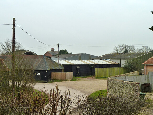
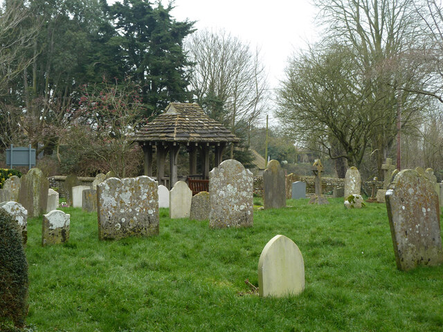
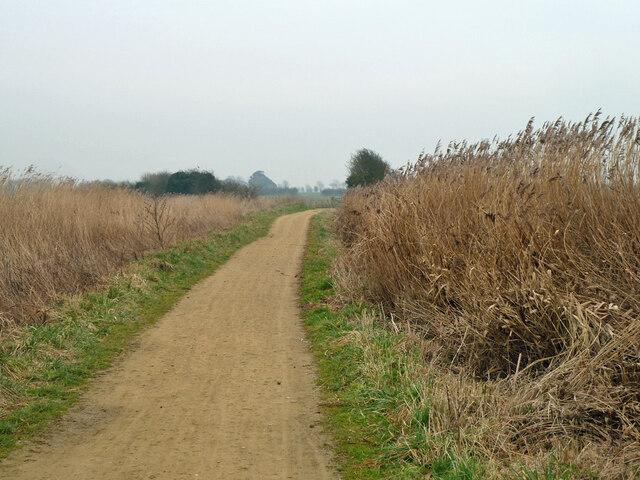
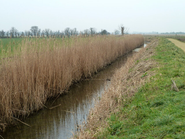
Yapton Images
Images are sourced within 2km of 50.831919/-0.622957 or Grid Reference SU9704. Thanks to Geograph Open Source API. All images are credited.
Yapton is located at Grid Ref: SU9704 (Lat: 50.831919, Lng: -0.622957)
Administrative County: West Sussex
District: Arun
Police Authority: Sussex
What 3 Words
///ballpoint.centuries.mock. Near Barnham, West Sussex
Nearby Locations
Related Wikis

John Baker's Mill, Barnham
John Baker's Mill (or Barnham Windmill) is a grade II listed tower mill at Barnham, Sussex, England, which was under restoration and is now to be converted...
Barnham, West Sussex
Barnham is a village, Anglican parish and former civil parish, now in the civil parish of Barnham and Eastergate, in the Arun district of West Sussex,...

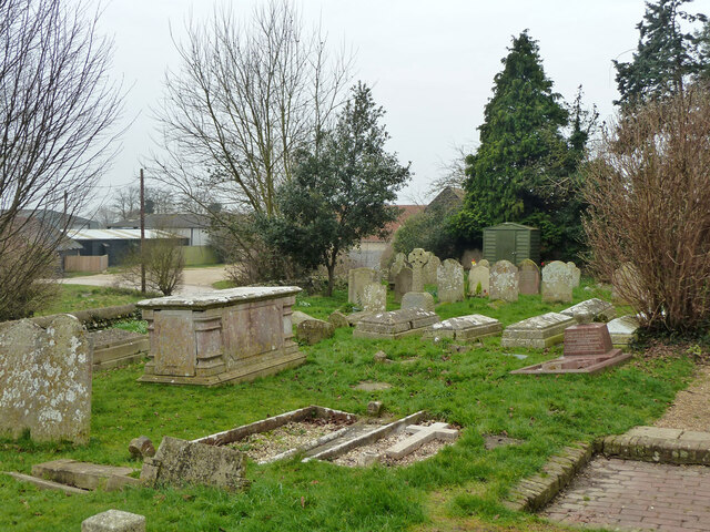
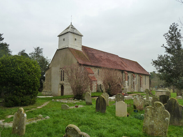
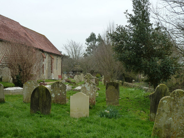
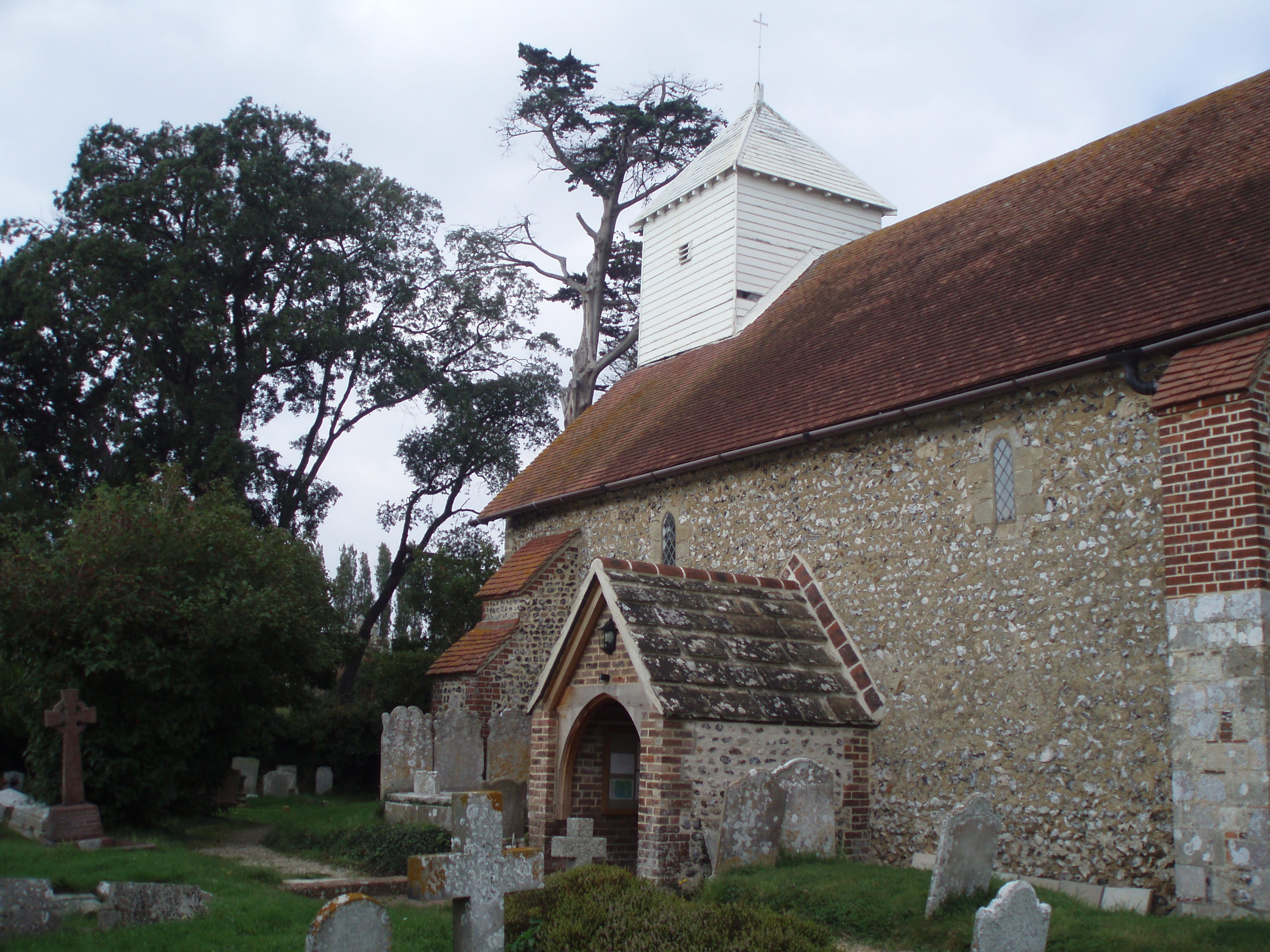
St Mary's Church, Walberton
St Mary's Church is an Anglican church in the village of Walberton in the district of Arun, one of seven local government districts in the English county...

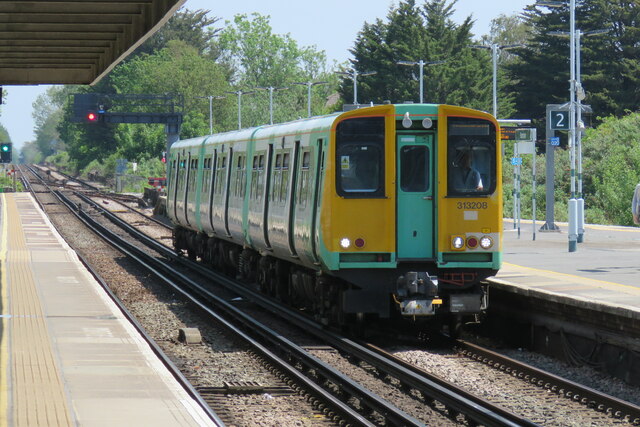
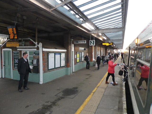
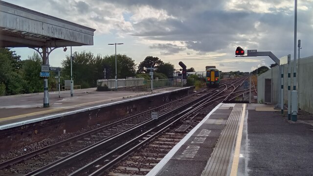
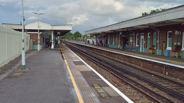
Barnham railway station
Barnham railway station is in Barnham, West Sussex, England around 5 miles (8.0 km) north of Bognor Regis. It is located on the West Coastway Line between...

Yapton Free Church
Yapton Free Church (also known as Yapton Evangelical Free Church) is an Evangelical church in the village of Yapton in West Sussex, England. The "pretty...

Walberton
Walberton is a village and civil parish in the Arun District of West Sussex, England, 5 miles (8 km) north-west of Littlehampton, and south of the A27...

St Philip Howard Catholic High School
St Philip Howard Catholic School is an Ofsted rated "outstanding' secondary school for 11-18 year olds located between Chichester and Arundel, in the town...

Yapton
Yapton is a village and civil parish in the Arun District of West Sussex, England. It is centred three miles (4.8 km) north east of Bognor Regis at the...
Nearby Amenities
Located within 500m of 50.831919,-0.622957Have you been to Yapton?
Leave your review of Yapton below (or comments, questions and feedback).