Maypole Park

Downs, Moorland in Sussex Arun

England

Maypole Park

Air Raid Shelter near Ford Airfield This is a disused air raid shelter, which would have been used during the Second World War by those working at the HMS Peregrine airfield at Ford. The airfield itself is now closed, with plans in place for its redevelopment.
Air Raid Shelter near Ford Airfield Credit: Jim Butler

Maypole Park is a picturesque nature reserve located in Sussex, England. Situated amidst the stunning Sussex Downs and Moorland, this park spans over a vast area and offers visitors a unique experience of the region's natural beauty.

The park is renowned for its diverse and vibrant ecosystem, housing a wide range of flora and fauna. From rolling hills covered in heather and gorse to lush green meadows dotted with wildflowers, the landscape at Maypole Park is a treat for nature enthusiasts. The park is also home to several rare and endangered species, making it an important conservation area.

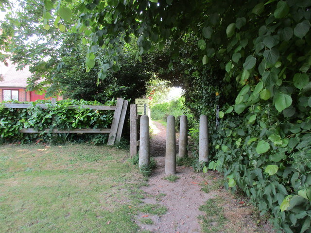
Walking trails crisscross the park, allowing visitors to explore its various habitats and enjoy breathtaking views of the surrounding countryside. The trails are well-maintained and suitable for all fitness levels, making it an ideal destination for hikers, walkers, and families.

In addition to its natural beauty, Maypole Park offers a range of recreational activities. There are designated picnic areas where visitors can relax and enjoy a meal amidst the tranquil surroundings. The park also has a children's play area, making it a popular destination for families with young children.

Maypole Park is easily accessible, with ample parking available for visitors. It is open year-round, although the park truly comes alive during spring when the hills are covered in a vibrant carpet of wildflowers.

Overall, Maypole Park is a haven for nature lovers, providing a serene and captivating experience in the heart of Sussex's stunning landscape.

If you have any feedback on the listing, please let us know in the comments section below.
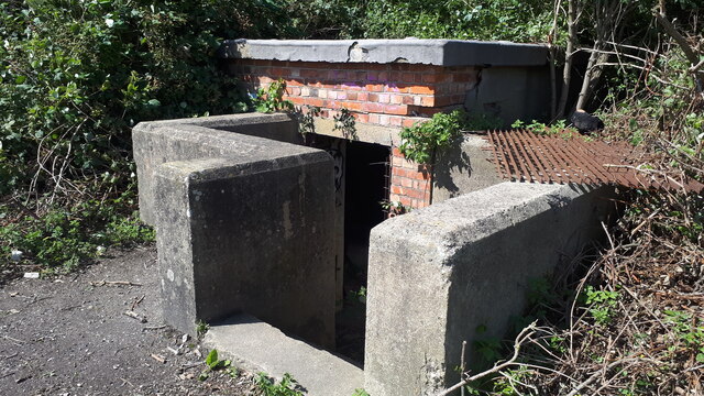
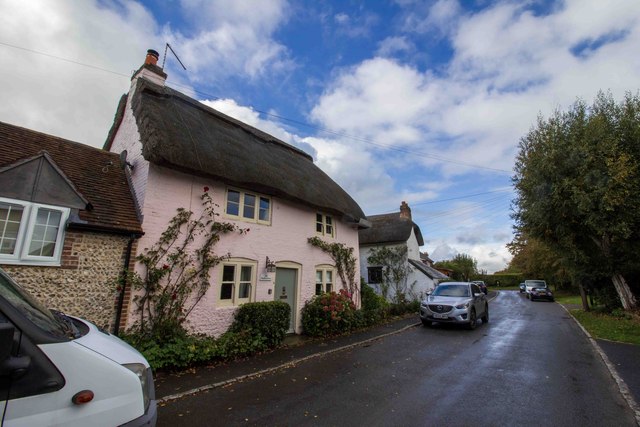
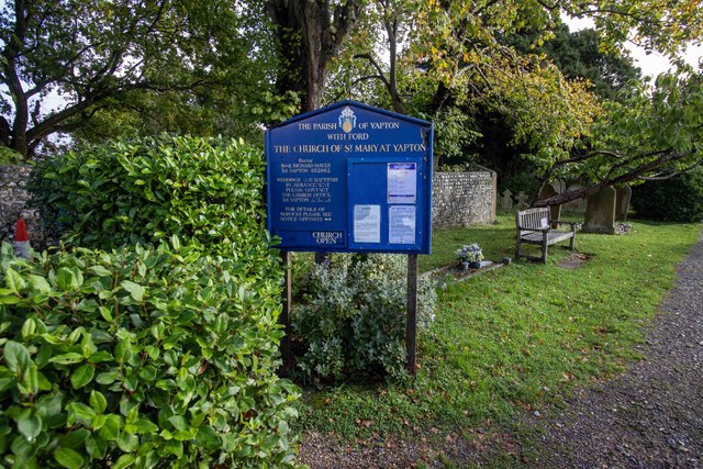
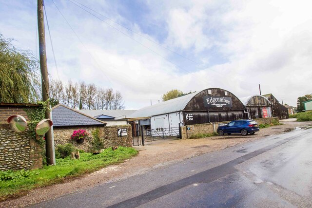
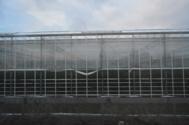
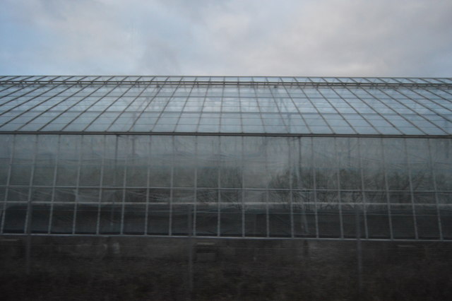
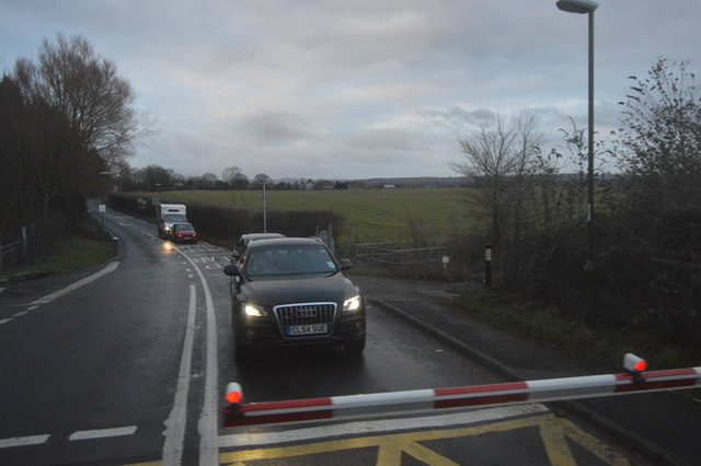
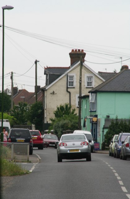
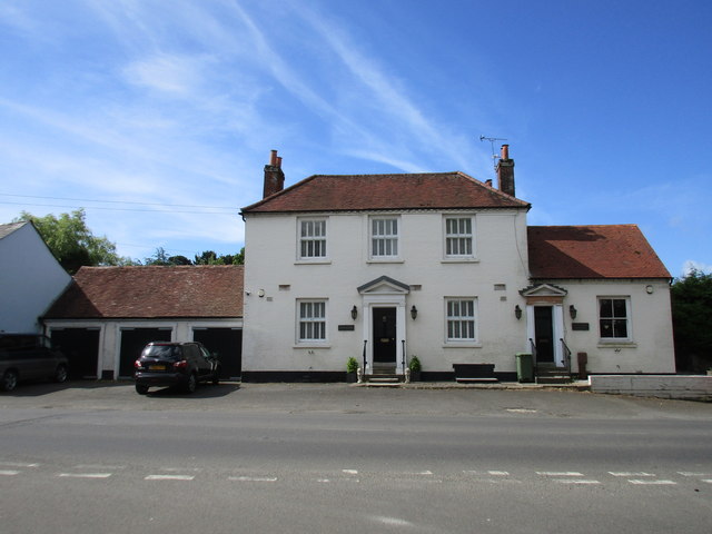
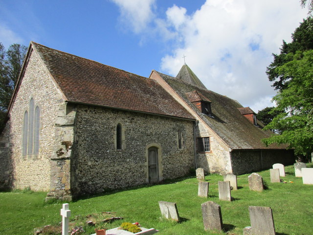
Maypole Park Images

Images are sourced within 2km of 50.829121/-0.61036721 or Grid Reference SU9704. Thanks to Geograph Open Source API. All images are credited.

Air Raid Shelter near Ford Airfield This is a disused air raid shelter, which would have been used during the Second World War by those working at the HMS Peregrine airfield at Ford. The airfield itself is now closed, with plans in place for its redevelopment.
Air Raid Shelter near Ford Airfield
This is a disused air raid shelter, which would have been used during the Second World War by those working at the HMS Peregrine airfield at Ford. The airfield itself is now closed, with plans in place for its redevelopment.
Burndell Bridge One of four brick arch bridges built in Yapton over the Portsmouth and Arundel Canal, which opened in 1823 and was abandoned in 1855. This bridge was built to allow the owner of Burndell Farm to access their land on the opposite bank of the canal. The farm has now been developed into a small estate, but to this day the bridge is still awaiting restoration.
Burndell Bridge
One of four brick arch bridges built in Yapton over the Portsmouth and Arundel Canal, which opened in 1823 and was abandoned in 1855. This bridge was built to allow the owner of Burndell Farm to access their land on the opposite bank of the canal. The farm has now been developed into a small estate, but to this day the bridge is still awaiting restoration.
Listed building, Church Lane
Yapton Church Yard
Yapton Church Yard
Ford Lane
Ford Lane
Glasshouses by the railway line
Glasshouse by the railway line
B2132, Yapton Lane The B2132 rus 6 miles across Sussex from Felpham to Slindon.
<span class="nowrap"><a title="http://www.sabre-roads.org.uk/wiki/index.php?title=B2132" rel="nofollow ugc noopener" href="http://www.sabre-roads.org.uk/wiki/index.php?title=B2132">Link</a><img style="margin-left:2px;" alt="External link" title="External link - shift click to open in new window" src="https://s1.geograph.org.uk/img/external.png" width="10" height="10"/></span>
B2132, Yapton Lane
The B2132 rus 6 miles across Sussex from Felpham to Slindon. LinkExternal link
B2132, Yapton
B2132, Yapton
Shoulders and Cucumber Cottage The former Shoulder of Mutton and Cucumber pub.
Shoulders and Cucumber Cottage
The former Shoulder of Mutton and Cucumber pub.
St. Mary, Yapton, north side
Flint wall. Church Lane, Yapton
Footpath to Ford Lane This path immediately splits into three separate paths all of which go to Ford Lane.
Footpath to Ford Lane
This path immediately splits into three separate paths all of which go to Ford Lane.
Flint wall on the bend in Church Lane Was there once an entrance here?
Flint wall on the bend in Church Lane
Was there once an entrance here?
St. Mary. Yapton. Interior looking east Twelfth century nave, thirteenth century chancel.
St. Mary. Yapton. Interior looking east
Twelfth century nave, thirteenth century chancel.
St. Mary, Yapton, south side
Playing field and Yapton and Ford Village Hall
Cottages on Main Road, Yapton
Show me another place!

Maypole Park is located at Grid Ref: SU9704 (Lat: 50.829121, Lng: -0.61036721)

Administrative County: West Sussex

District: Arun

Police Authority: Sussex

What 3 Words

///lousy.musically.coarser. Near Yapton, West Sussex

Nearby Locations

Maypole Park Saxby Yapton

Related Wikis

Yapton Free Church

Yapton Free Church (also known as Yapton Evangelical Free Church) is an Evangelical church in the village of Yapton in West Sussex, England. The "pretty...

Yapton

Yapton is a village and civil parish in the Arun District of West Sussex, England. It is centred three miles (4.8 km) north east of Bognor Regis at the...

John Baker's Mill, Barnham

John Baker's Mill (or Barnham Windmill) is a grade II listed tower mill at Barnham, Sussex, England, which was under restoration and is now to be converted...

St Mary's Church, Walberton

St Mary's Church is an Anglican church in the village of Walberton in the district of Arun, one of seven local government districts in the English county...

Nearby Amenities

Located within 500m of 50.829121,-0.61036721
Crossing Barrier: double_half
Crossing Light: yes
Railway: level_crossing
Lat/Long: 50.8307816/-0.6084256
Pub
The Maypole Inn
Addr County: West Sussex
Addr Postcode: BN18 0DP
Addr Street: Maypole Lane
Addr Village: Yapton
Fhrs Authority: Arun
Fhrs Id: 133629
Fhrs Local Authority Id: 665145
Lat/Long: 50.8288696/-0.6128366
Crossing: uncontrolled
Railway: crossing
Lat/Long: 50.8308227/-0.6138683
Bus Stop
Ford Lane
Bus: yes
Naptan AtcoCode: 4400LH0215
Naptan Bearing: SW
Naptan CommonName: Ford Lane
Naptan Indicator: adj Ford Lane
Naptan Landmark: Ford Lane
Naptan NaptanCode: wsxdajwg
Naptan Street: North End Road
Naptan Verified: no
Public Transport: platform
Source: naptan_import
Lat/Long: 50.8267246/-0.6103092
Bus Stop
Maypole Lane
Bus: yes
Naptan AtcoCode: 4400LH0216
Naptan Bearing: NE
Naptan CommonName: Maypole Lane
Naptan Indicator: adj Maypole Lane
Naptan Landmark: Maypole Lane
Naptan NaptanCode: wsxdajwj
Naptan Street: North End Road
Naptan Verified: no
Public Transport: platform
Source: naptan_import
Lat/Long: 50.8264785/-0.610785
Bus Stop
North End
Bench: no
Bin: no
Bus: yes
Naptan AtcoCode: 4400LH0261
Naptan Bearing: S
Naptan CommonName: North End
Naptan Indicator: opp. West Bank
Naptan Landmark: Level Crossing
Naptan NaptanCode: wsxdamta
Naptan Street: North End Road
Naptan Verified: no
Public Transport: platform
Shelter: no
Source: naptan_import
Lat/Long: 50.8295998/-0.607824
Bus Stop
North End
Bus: yes
Naptan AtcoCode: 4400LH0262
Naptan Bearing: N
Naptan BusStopType: CUS
Naptan CommonName: North End
Naptan Indicator: adj West Bank
Naptan Landmark: Level Crossing
Naptan NaptanCode: wsxdamtd
Naptan Street: North End Road
Naptan Verified: no
Public Transport: platform
Source: naptan_import
Lat/Long: 50.8295665/-0.6080522
Crossing Barrier: double_half
Crossing Light: yes
Railway: level_crossing
Lat/Long: 50.83075/-0.6084138
Crossing: uncontrolled
Railway: crossing
Lat/Long: 50.830792/-0.613868
Post Box
Brand: Royal Mail
Brand Wikidata: Q638098
Brand Wikipedia: en:Royal Mail
Collection Plate: CP1D
Collection Times: Mo-Fr 09:00; Sa 07:00
Last Checked: 2020-09-12
Old Ref: BN18 1313
Operator: Royal Mail
Operator Wikidata: Q638098
Post Box Type: pillar
Ref: BN18 1313D
Royal Cypher: GR
Royal Cypher Wikidata: Q33102273
Source: survey
Lat/Long: 50.8268027/-0.6101778
Old Yapton Station
Lat/Long: 50.8307563/-0.6090386
Crossing
Lat/Long: 50.8252376/-0.6132197
Crossing
Lat/Long: 50.8258507/-0.6138916
Crossing
Lat/Long: 50.8260954/-0.6089968
Crossing
Lat/Long: 50.8254378/-0.6134391
The data included in this document is from www.openstreetmap.org. The data is made available under ODbL.

Have you been to Maypole Park?

Leave your review of Maypole Park below (or comments, questions and feedback).