Budbrooke

Settlement in Warwickshire Warwick

England

Budbrooke

Grand Union Canal - lock No. 34 Part of the Hatton flight with part of lock No. 34 and a house beside the towpath.
Grand Union Canal - lock No. 34 Credit: Chris Allen

Budbrooke is a small village located in the county of Warwickshire, England. Situated about two miles west of Warwick, it is a peaceful and picturesque rural community. The village is surrounded by beautiful countryside and boasts a charming ambiance that attracts both locals and visitors alike.

One of the notable landmarks in Budbrooke is St Michael's Church, a historic building that dates back to the 12th century. With its stunning architecture and serene surroundings, it serves as a reminder of the village's rich history and cultural heritage.

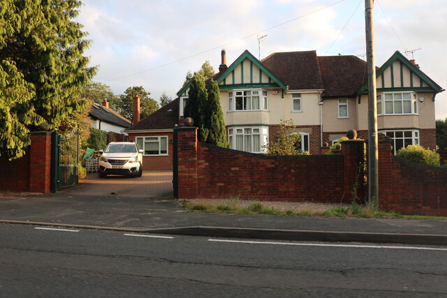
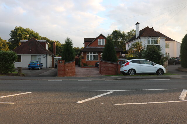
The village is mainly residential, with a mix of traditional cottages and modern houses. The community is tight-knit, and residents often engage in various social activities and events. Budbrooke also has a primary school, providing education for the local children.

Nature lovers are drawn to Budbrooke for its scenic walks and outdoor activities. The nearby Warwickshire countryside offers ample opportunities for hiking, cycling, and exploring the picturesque landscapes. The village is also conveniently located close to Warwick, which provides access to a wider range of amenities and attractions, including Warwick Castle, a popular tourist destination.

Transportation in Budbrooke is facilitated by regular bus services that connect the village to nearby towns and cities. The M40 motorway is easily accessible, providing convenient links to major cities such as Birmingham and London.

In summary, Budbrooke is a charming village in Warwickshire, known for its tranquil atmosphere, historic church, and easy access to beautiful countryside.

If you have any feedback on the listing, please let us know in the comments section below.
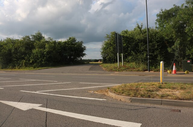
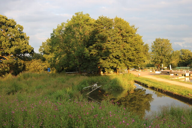
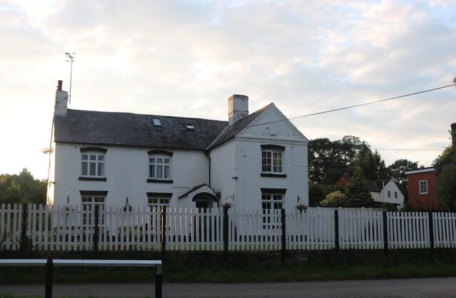
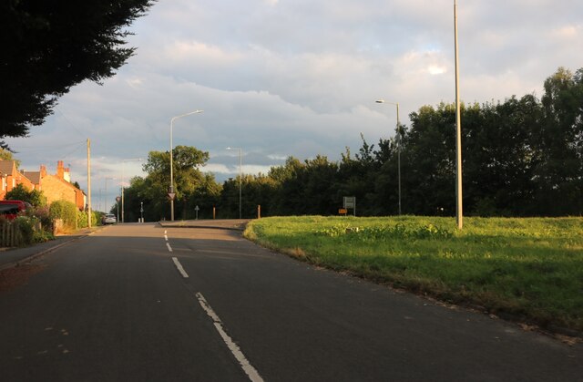
Budbrooke Images

Images are sourced within 2km of 52.289997/-1.629065 or Grid Reference SP2565. Thanks to Geograph Open Source API. All images are credited.

Grand Union Canal - lock No. 34 Part of the Hatton flight with part of lock No. 34 and a house beside the towpath.
Grand Union Canal - lock No. 34
Part of the Hatton flight with part of lock No. 34 and a house beside the towpath.
Canal and River Trust at Hatton Alongside the Hatton flight on the Grand Union Canal. This was a maintenance yard but I think it is now mainly office accommodation.
Canal and River Trust at Hatton
Alongside the Hatton flight on the Grand Union Canal. This was a maintenance yard but I think it is now mainly office accommodation.
Canal and River Trust at Hatton Alongside the Grand Union Canal's Hatton flight of locks. This is a former maintenance yard that now appears to be Canal and River Trust offices. This looks like it was probably a former beam engine house. However, I have been unable to find out anything about this presumed former role.
Canal and River Trust at Hatton
Alongside the Grand Union Canal's Hatton flight of locks. This is a former maintenance yard that now appears to be Canal and River Trust offices. This looks like it was probably a former beam engine house. However, I have been unable to find out anything about this presumed former role.
Canal and River Trust at Hatton On the Grand union Canal alongside the Hatton flight of 21 locks. The tall building is part of the former maintenance yard and looks like a beam engine house. However, I have been unable to find out anything about it.
Canal and River Trust at Hatton
On the Grand union Canal alongside the Hatton flight of 21 locks. The tall building is part of the former maintenance yard and looks like a beam engine house. However, I have been unable to find out anything about it.
Former work boat alongside the Grand Union Canal Alongside the Hatton flight of locks between locks Nos. 44 and 45. No. 44 is seen in the background. This originally carried a piling rig operated by a diesel engine and was used for bank maintenance by British Waterway Board. The wooden planks alongside represent the type of piled bank it was used to construct and maintain.
Former work boat alongside the Grand Union Canal
Alongside the Hatton flight of locks between locks Nos. 44 and 45. No. 44 is seen in the background. This originally carried a piling rig operated by a diesel engine and was used for bank maintenance by British Waterway Board. The wooden planks alongside represent the type of piled bank it was used to construct and maintain.
Hatton Locks On the Grand Union Canal, looking towards the Canal and River Trust.
Hatton Locks
On the Grand Union Canal, looking towards the Canal and River Trust.
Hatton Locks The Canal and River Trusts buildings
Hatton Locks
The Canal and River Trusts buildings
Birmingham Road at the A46 intersection
Birmingham Road leaving Warwick
Bridge at Hatton Locks Over the Grand Union Canal.
Bridge at Hatton Locks
Over the Grand Union Canal.
Pond by Hatton Locks The locks can be seen on the right
Pond by Hatton Locks
The locks can be seen on the right
House by Hatton Locks Possibly the lock keepers cottage
House by Hatton Locks
Possibly the lock keepers cottage
Brownley Green, Hatton
Houses on Birmingham Road, Warwick
Lower Farm Converted vernacular farm buildings at Lower Farm
Lower Farm
Converted vernacular farm buildings at Lower Farm
Canal bridge
Canal bridge
Shell petrol forecourt on Birmingham Road, Hatton
Show me another place!

Budbrooke is located at Grid Ref: SP2565 (Lat: 52.289997, Lng: -1.629065)

Administrative County: Warwickshire

District: Warwick

Police Authority: Warwickshire

What 3 Words

///scorched.chimp.eggplants. Near Hatton, Warwickshire

Related Wikis

Budbrooke

Budbrooke is a village and civil parish in the Warwick district of Warwickshire, England. It is 3 miles west of Warwick and according to the 2001 census...

Budbrooke Barracks

Budbrooke Barracks was a military installation near Budbrooke in Warwickshire, England. == History == The barracks were built on agricultural land in 1877...

Warwick Parkway railway station

Warwick Parkway is a railway station with park and ride facilities on the western outskirts of Warwick in Warwickshire, England. It also serves the village...

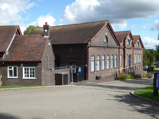
Central Hospital, Hatton

Central Hospital was a psychiatric hospital located in Hatton, Warwickshire, England. == History == Building began in 1846 on a 42-acre (17 ha) site purchased...
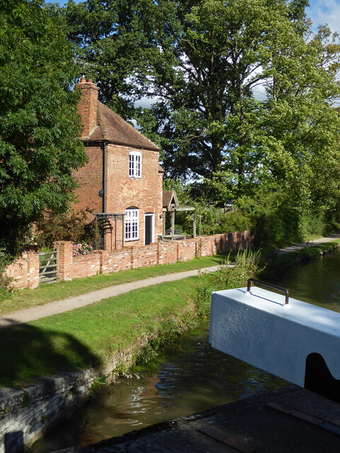
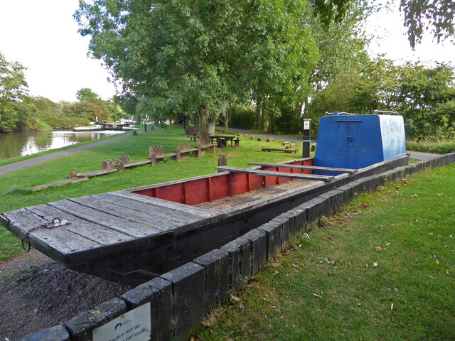
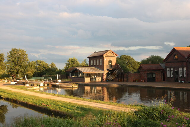
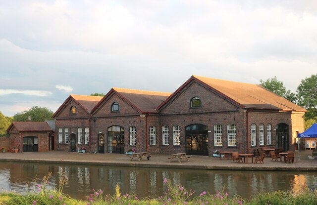
Hatton Locks

The Hatton Locks or Hatton Flight are a flight of 21 locks on the Grand Union Canal in Hatton, Warwickshire, England. The flight spans less than 2 miles...

Hatton, Warwickshire

Hatton is a village and civil parish about 4 miles (6 km) west-northwest of Warwick, in the Warwick District of Warwickshire in England. The parish had...

Saltisford Canal Arm

The Saltisford Canal Arm is a short stretch of canal located in the town of Warwick, Warwickshire, England. Opened in the 1790s, originally it wasn't an...

Warwick Racecourse

Warwick Racecourse is a horse racing course in Warwick, England. It is a National Hunt racing course and has a programme of 25 meetings throughout the...

Nearby Amenities

Located within 500m of 52.289997,-1.629065
Maxheight: 4.4
Source: Warwicks OpenData
Lat/Long: 52.2928981/-1.6287378
Barrier: kissing_gate
Foot: yes
Lat/Long: 52.2880249/-1.6225075
Post Box
Brand: Royal Mail
Brand Wikidata: Q638098
Brand Wikipedia: en:Royal Mail
Collection Times: Mo-Fr 09:00; Sa 07:00
Operator: Royal Mail
Operator Wikidata: Q638098
Post Box Type: lamp
Ref: CV35 177D
Royal Cypher: EIIR
Royal Cypher Wikidata: Q33102113
Source: survey
Lat/Long: 52.2874695/-1.6230776
Brand: National Grid
Brand Wikidata: Q1465461
Material: wood
Operator: National Grid Electricity Distribution
Operator Old: Western Power Distribution
Operator Wikidata: Q7988183
Owner: National Grid Electricity Distribution (East Midlands) Plc
Owner Wikidata: Q114348127
Power: pole
Source: Bing
Lat/Long: 52.2895235/-1.635772
Brand: National Grid
Brand Wikidata: Q1465461
Material: wood
Operator: National Grid Electricity Distribution
Operator Old: Western Power Distribution
Operator Wikidata: Q7988183
Owner: National Grid Electricity Distribution (East Midlands) Plc
Owner Wikidata: Q114348127
Power: pole
Source: Bing
Lat/Long: 52.2891183/-1.634286
Brand: National Grid
Brand Wikidata: Q1465461
Material: wood
Operator: National Grid Electricity Distribution
Operator Old: Western Power Distribution
Operator Wikidata: Q7988183
Owner: National Grid Electricity Distribution (East Midlands) Plc
Owner Wikidata: Q114348127
Power: pole
Source: Bing
Lat/Long: 52.2887376/-1.6328575
Brand: National Grid
Brand Wikidata: Q1465461
Material: wood
Operator: National Grid Electricity Distribution
Operator Old: Western Power Distribution
Operator Wikidata: Q7988183
Owner: National Grid Electricity Distribution (East Midlands) Plc
Owner Wikidata: Q114348127
Power: pole
Source: Bing
Lat/Long: 52.288357/-1.6315073
Brand: National Grid
Brand Wikidata: Q1465461
Material: wood
Operator: National Grid Electricity Distribution
Operator Old: Western Power Distribution
Operator Wikidata: Q7988183
Owner: National Grid Electricity Distribution (East Midlands) Plc
Owner Wikidata: Q114348127
Power: pole
Source: Bing
Lat/Long: 52.2879862/-1.6301367
Brand: National Grid
Brand Wikidata: Q1465461
Material: wood
Operator: National Grid Electricity Distribution
Operator Old: Western Power Distribution
Operator Wikidata: Q7988183
Owner: National Grid Electricity Distribution (East Midlands) Plc
Owner Wikidata: Q114348127
Power: pole
Source: Bing
Lat/Long: 52.2876581/-1.6288921
Church Farm Budbrooke
Brand: National Grid
Brand Wikidata: Q1465461
Frequency: 50
Material: wood
Operator: National Grid Electricity Distribution
Operator Old: Western Power Distribution
Operator Wikidata: Q7988183
Owner: National Grid Electricity Distribution (East Midlands) Plc
Owner Wikidata: Q114348127
Power: pole
Ref: 931986
Source: Bing
Transformer: distribution
Voltage Primary: 11000
Voltage Secondary: 400
Lat/Long: 52.2873152/-1.6276422
Brand: National Grid
Brand Wikidata: Q1465461
Material: wood
Operator: National Grid Electricity Distribution
Operator Old: Western Power Distribution
Operator Wikidata: Q7988183
Owner: National Grid Electricity Distribution (East Midlands) Plc
Owner Wikidata: Q114348127
Power: pole
Source: Bing
Lat/Long: 52.2870527/-1.6266659
Brand: National Grid
Brand Wikidata: Q1465461
Material: wood
Operator: National Grid Electricity Distribution
Operator Old: Western Power Distribution
Operator Wikidata: Q7988183
Owner: National Grid Electricity Distribution (East Midlands) Plc
Owner Wikidata: Q114348127
Power: pole
Source: Bing
Lat/Long: 52.2867131/-1.6254106
Brand: National Grid
Brand Wikidata: Q1465461
Material: wood
Operator: National Grid Electricity Distribution
Operator Old: Western Power Distribution
Operator Wikidata: Q7988183
Owner: National Grid Electricity Distribution (East Midlands) Plc
Owner Wikidata: Q114348127
Power: pole
Lat/Long: 52.2893924/-1.632122
Brand: National Grid
Brand Wikidata: Q1465461
Material: wood
Operator: National Grid Electricity Distribution
Operator Old: Western Power Distribution
Operator Wikidata: Q7988183
Owner: National Grid Electricity Distribution (East Midlands) Plc
Owner Wikidata: Q114348127
Power: pole
Lat/Long: 52.2901285/-1.6313594
Brand: National Grid
Brand Wikidata: Q1465461
Material: wood
Operator: National Grid Electricity Distribution
Operator Old: Western Power Distribution
Operator Wikidata: Q7988183
Owner: National Grid Electricity Distribution (East Midlands) Plc
Owner Wikidata: Q114348127
Power: pole
Lat/Long: 52.2906273/-1.6308221
Brand: National Grid
Brand Wikidata: Q1465461
Material: wood
Operator: National Grid Electricity Distribution
Operator Old: Western Power Distribution
Operator Wikidata: Q7988183
Owner: National Grid Electricity Distribution (East Midlands) Plc
Owner Wikidata: Q114348127
Power: pole
Lat/Long: 52.2914283/-1.6300145
Brand: National Grid
Brand Wikidata: Q1465461
Location Transition: yes
Material: wood
Operator: National Grid Electricity Distribution
Operator Old: Western Power Distribution
Operator Wikidata: Q7988183
Owner: National Grid Electricity Distribution (East Midlands) Plc
Owner Wikidata: Q114348127
Power: pole
Lat/Long: 52.2921574/-1.6292472
Grange Farm Budbrooke
Brand: National Grid
Brand Wikidata: Q1465461
Frequency: 50
Location Transition: yes
Material: wood
Operator: National Grid Electricity Distribution
Operator Old: Western Power Distribution
Operator Wikidata: Q7988183
Owner: National Grid Electricity Distribution (East Midlands) Plc
Owner Wikidata: Q114348127
Power: pole
Ref: 931985
Transformer: distribution
Voltage Primary: 11000
Voltage Secondary: 400
Lat/Long: 52.2882848/-1.6245439
Brand: National Grid
Brand Wikidata: Q1465461
Material: wood
Operator: National Grid Electricity Distribution
Operator Old: Western Power Distribution
Operator Wikidata: Q7988183
Owner: National Grid Electricity Distribution (East Midlands) Plc
Owner Wikidata: Q114348127
Power: pole
Lat/Long: 52.2874052/-1.6243349
The data included in this document is from www.openstreetmap.org. The data is made available under ODbL.

Have you been to Budbrooke?

Leave your review of Budbrooke below (or comments, questions and feedback).