Budby

Settlement in Nottinghamshire Newark and Sherwood

England

Budby

Bridleway to Church Warsop Budby South Forest.
Bridleway to Church Warsop Credit: Jonathan Thacker

Budby is a small village located in the county of Nottinghamshire, England. Situated within the district of Bassetlaw, Budby is nestled in the heart of the Sherwood Forest, renowned for its rich history and association with the legendary figure of Robin Hood.

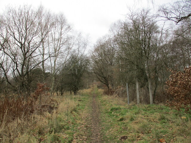
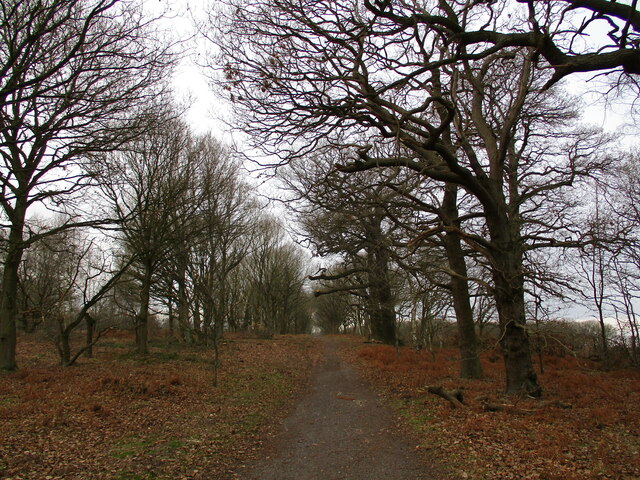
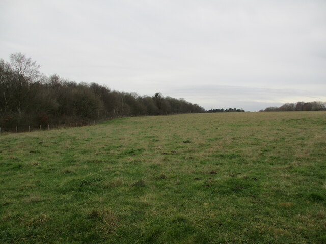
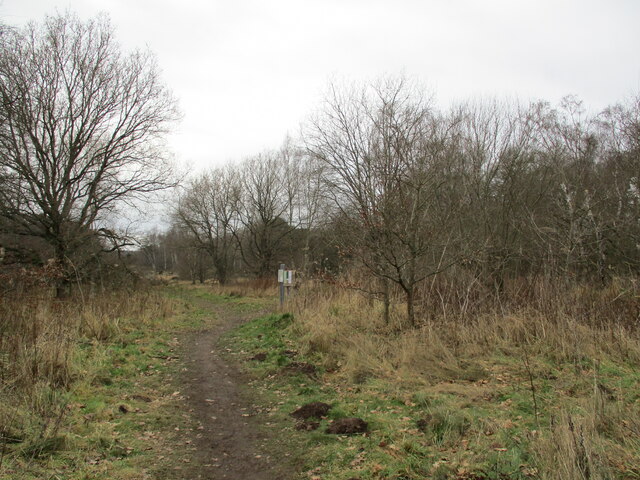
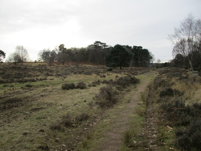
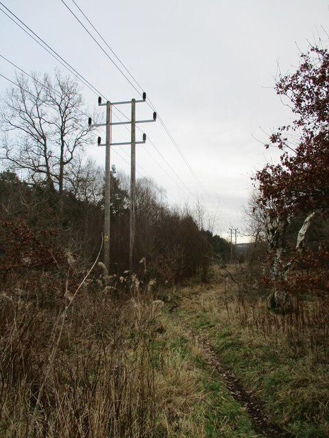
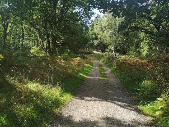
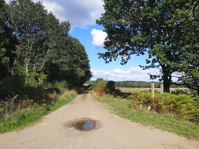
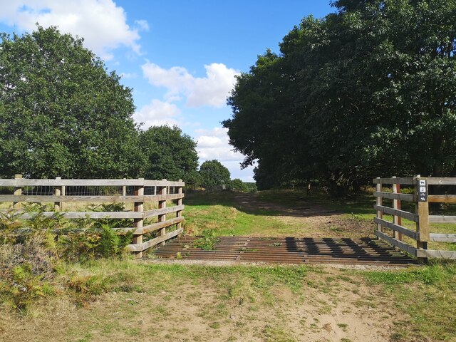
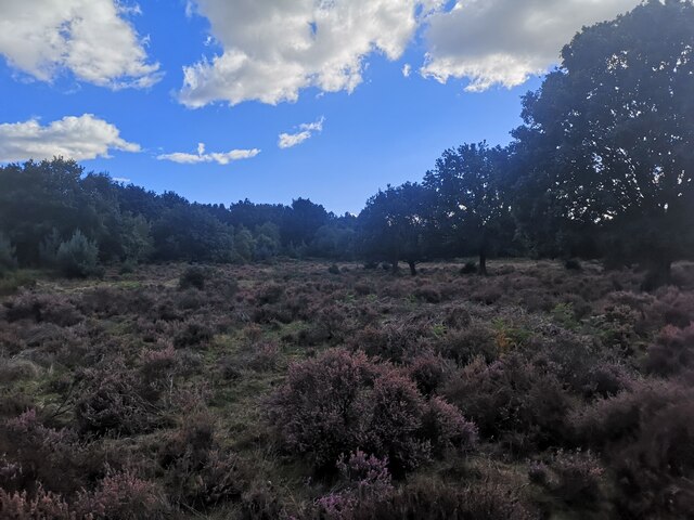
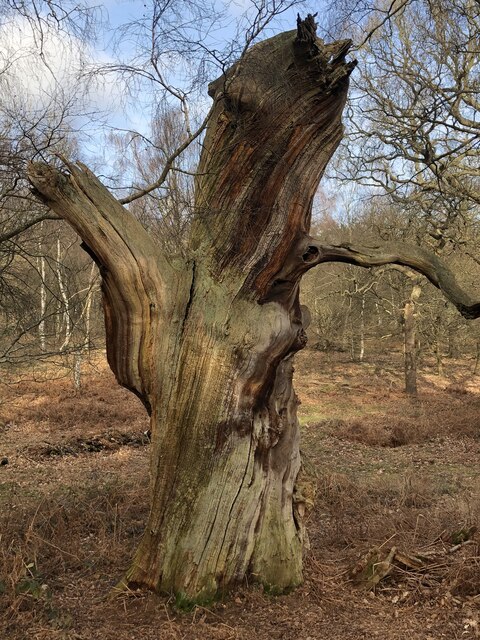
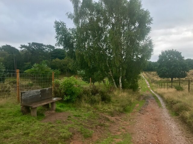
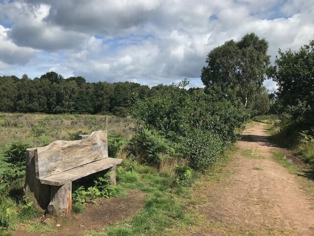
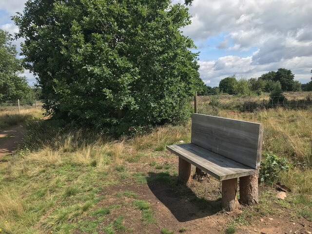
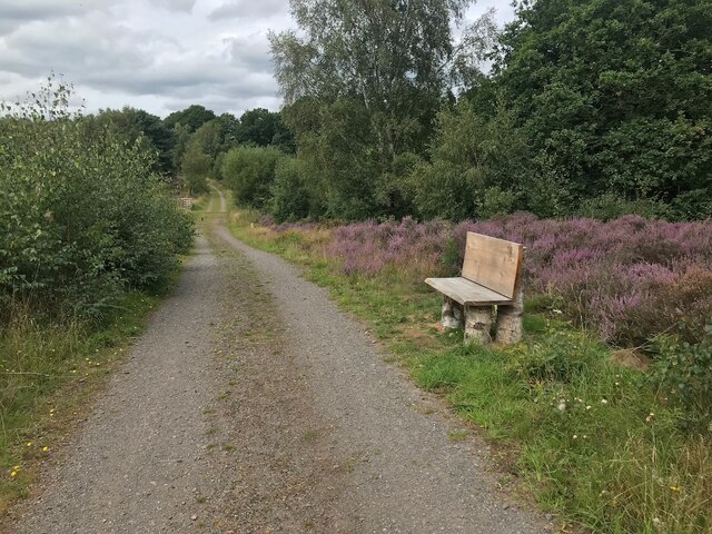
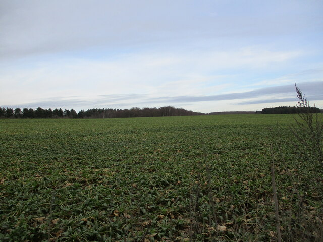
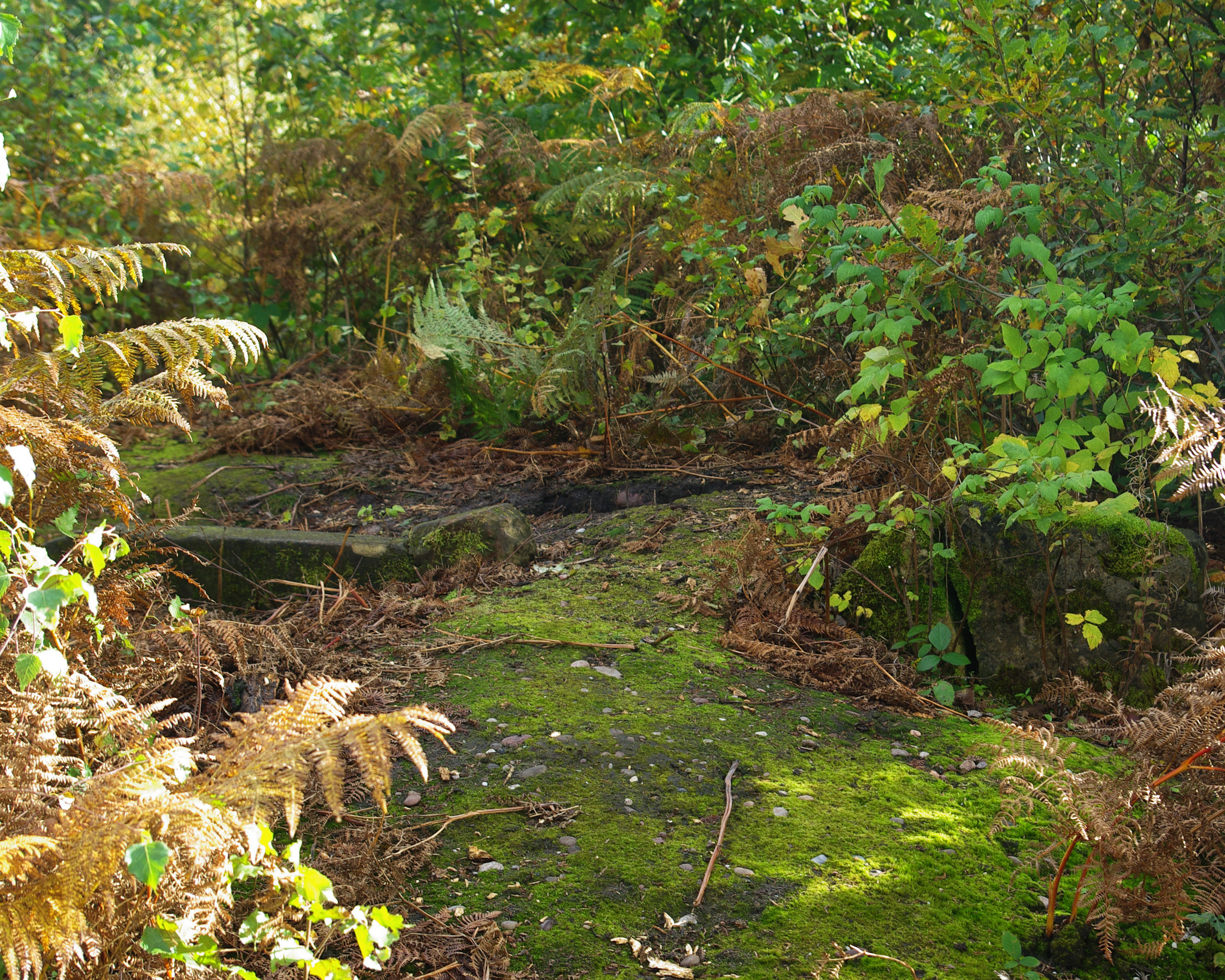
The village is characterized by its picturesque surroundings, with lush green fields, woodlands, and scenic walking trails that attract nature enthusiasts and hikers. Budby is also home to Budby Common, a designated Site of Special Scientific Interest (SSSI), which boasts a diverse range of flora and fauna, including rare heathland species such as the nightjar and woodlark.

Despite its rural setting, Budby is conveniently located close to major transport links. The nearby A614 road provides easy access to both Nottingham and Worksop, offering residents and visitors the opportunity to explore larger towns and cities for shopping, entertainment, and employment opportunities.

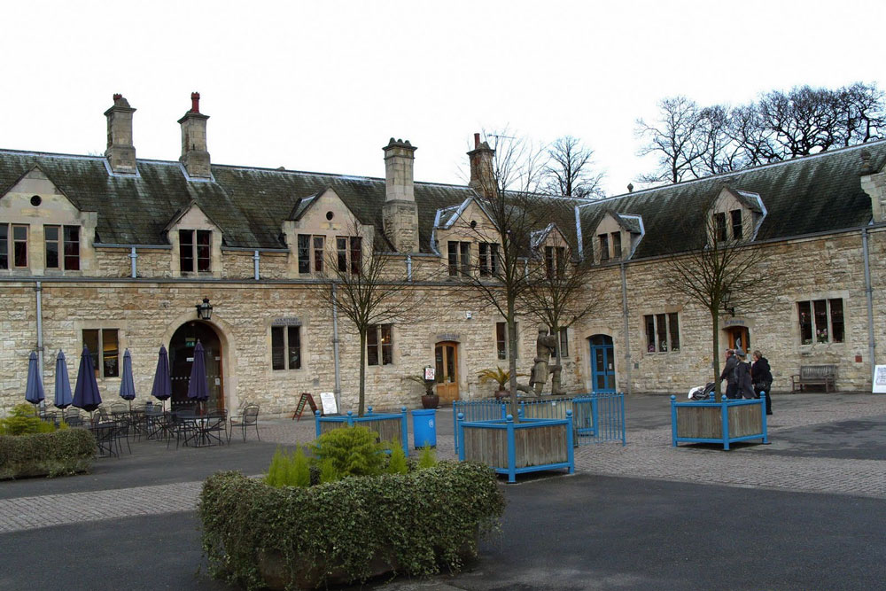
Budby itself has a small population, and the village exudes a tranquil and close-knit community atmosphere. It features a parish church, St. Mary's, which dates back to the 12th century and is an architectural gem with its Norman tower and stained glass windows.

In summary, Budby offers a peaceful and idyllic village setting, surrounded by natural beauty and steeped in history. It is an ideal destination for those seeking a retreat from urban life, with ample opportunities for outdoor activities and a strong sense of community.

If you have any feedback on the listing, please let us know in the comments section below.

Budby Images

Images are sourced within 2km of 53.22428/-1.078932 or Grid Reference SK6170. Thanks to Geograph Open Source API. All images are credited.

Bridleway to Church Warsop Budby South Forest.
Bridleway to Church Warsop
Budby South Forest.
Bridleway to Church Warsop Budby South Forest.
Bridleway to Church Warsop
Budby South Forest.
Grassland and Queen Oak Plantation
Path in Budby South Forest Connects with several other paths in the area between Edwinstow and Budby.
Path in Budby South Forest
Connects with several other paths in the area between Edwinstow and Budby.
Heathland, Budby South Forest
Power line, Budby South Forest
Path Junction in Budby South Forest
Track towards Budby
Track towards Budby
Cattle Grid in Budby South Forest
Heathland in Budby South Forest There are some English Longhorn cattle grazing on here which look intimidating. They let me pass without incident.
Heathland in Budby South Forest
There are some English Longhorn cattle grazing on here which look intimidating. They let me pass without incident.
Track within Sherwood Forest
Dead oak trunk in Sherwood Forest
Bench beside a bridleway On the RSPB Budby South Forest reserve.
Bench beside a bridleway
On the RSPB Budby South Forest reserve.
Bench beside a public footpath On the RSPB Budby South Forest reserve.
Bench beside a public footpath
On the RSPB Budby South Forest reserve.
Bench beside a public footpath On the RSPB Budby South Forest reserve.
Bench beside a public footpath
On the RSPB Budby South Forest reserve.
Bench beside a track Just outside the fenced area of the RSPB Budby South Forest reserve.
Bench beside a track
Just outside the fenced area of the RSPB Budby South Forest reserve.
Solar Farm, Budby North Forest
Cultivated field, Budby North Forest
Show me another place!

Budby is located at Grid Ref: SK6170 (Lat: 53.22428, Lng: -1.078932)

Administrative County: Nottinghamshire

District: Newark and Sherwood

Police Authority: Nottinghamshire

What 3 Words

///spaceship.ultra.dignitary. Near Edwinstowe, Nottinghamshire

Related Wikis

Budby

Budby is a hamlet and former civil parish, now in the parish of Perlethorpe cum Budby, in the Newark and Sherwood district, in the county of Nottinghamshire...

Major Oak

The Major Oak is a large English oak (Quercus robur) near the village of Edwinstowe in the midst of Sherwood Forest, Nottinghamshire, England. According...

Sherwood Forest

Sherwood Forest is the remnants of an ancient royal forest in Nottinghamshire, England, having an historic association with the legend of Robin Hood. The...

Thynghowe

Thynghowe was an important Viking Era open-air assembly place or thing, located at Sherwood Forest, in Nottinghamshire, England. It was lost to history...

Thoresby Hall

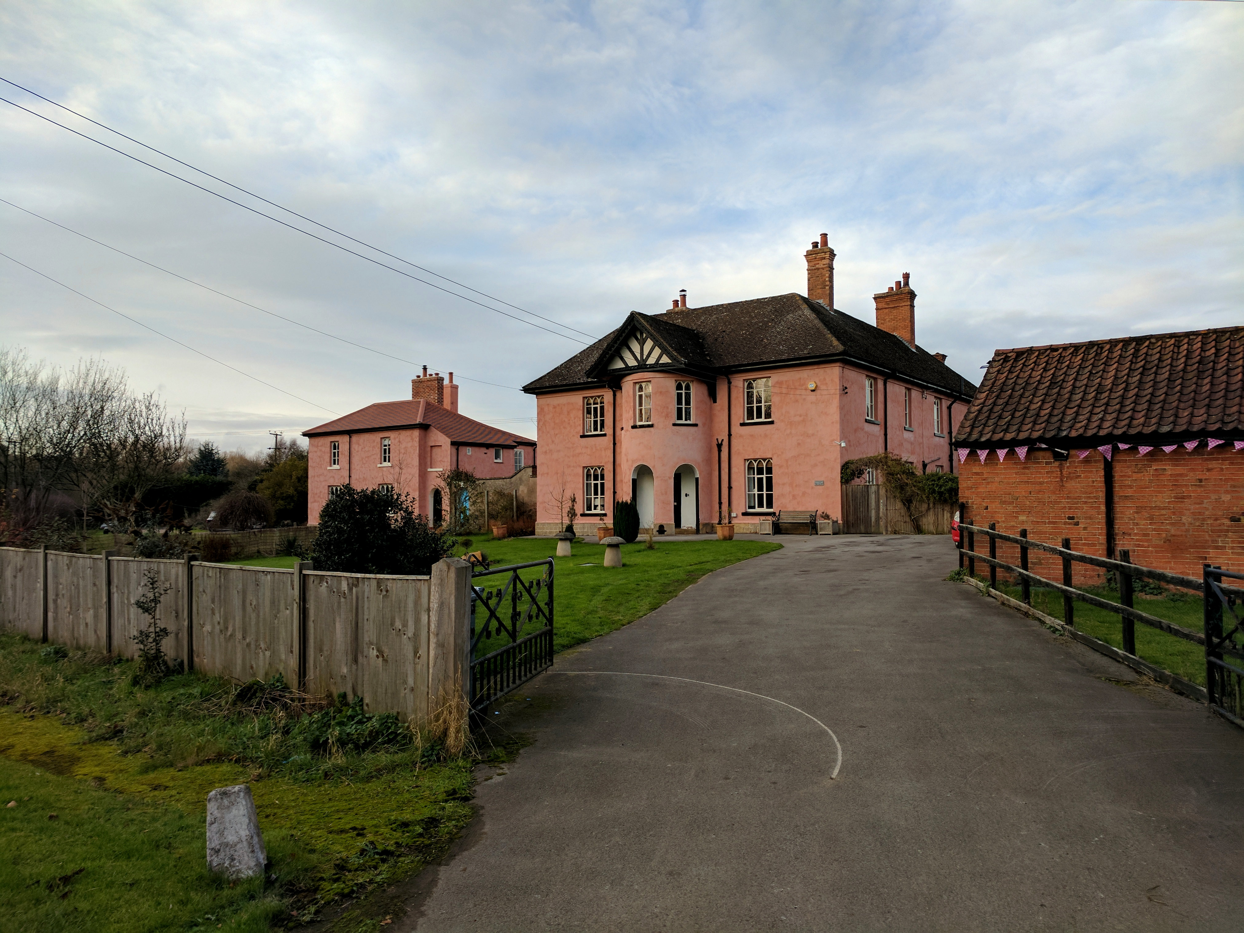
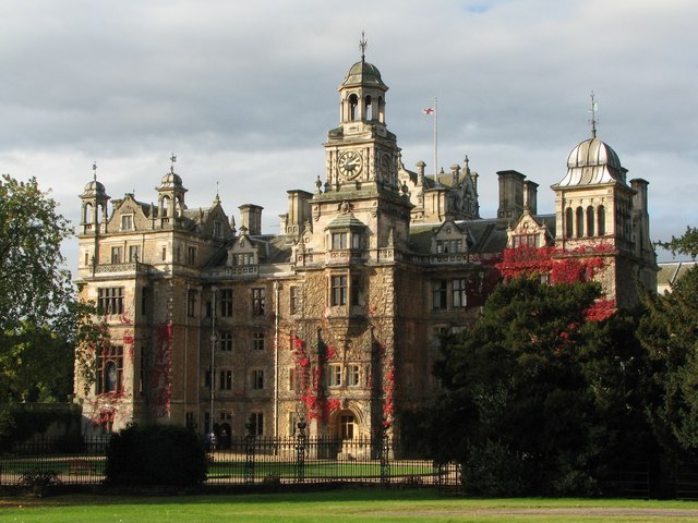
Thoresby Hall is a grade I listed 19th-century country house in Budby, Nottinghamshire, some 2 miles (4 km) north of Ollerton. It is one of four neighbouring...

The Royal Lancers and Nottinghamshire Yeomanry Museum

The Royal Lancers & Nottinghamshire Yeomanry Museum traces the history of three old and famous cavalry regiments, the Royal Lancers, the Sherwood Rangers...

Carburton

Carburton or Carberton is a small village on the west side of Clumber within the Bassetlaw district of Nottinghamshire, England. It is primarily rural...

Meden Vale

Meden Vale is a small former coal mining village originally known as Welbeck Colliery Village prior to renaming in the late 1960s.It is situated close...

Nearby Amenities

Located within 500m of 53.22428,-1.078932
Bus Stop
Park View
Bus: yes
Naptan AtcoCode: 3300NS0123
Naptan Bearing: S
Naptan CommonName: Park View
Naptan Crossing: War Memorial
Naptan Indicator: opp
Naptan NaptanCode: ntsajajt
Naptan Notes: none
Naptan Street: Worksop Road
Naptan Verified: no
Public Transport: platform
Source: naptan_import
Lat/Long: 53.2237095/-1.0750746
Bus Stop
Park View
Bus: yes
Naptan AtcoCode: 3300NS0136
Naptan Bearing: N
Naptan CommonName: Park View
Naptan Crossing: War Memorial
Naptan Indicator: adj
Naptan NaptanCode: ntsdpdtj
Naptan Notes: none
Naptan Street: Worksop Road
Naptan Verified: no
Public Transport: platform
Source: naptan_import
Lat/Long: 53.2239539/-1.075319
Cafe
Dukeries Tea Shop
Fixme: location approximate
Note: licensed
Source: survey
Lat/Long: 53.2257213/-1.0759453
Power: pole
Source: Bing
Lat/Long: 53.2212508/-1.0796645
Power: pole
Source: Bing
Lat/Long: 53.2213206/-1.0811559
Power: pole
Source: Bing
Lat/Long: 53.2214493/-1.0839087
Power: pole
Source: Bing
Lat/Long: 53.2213745/-1.0823093
Power: pole
Source: Bing
Lat/Long: 53.2205208/-1.0755015
Power: pole
Source: Bing
Lat/Long: 53.221176/-1.0780657
Power: pole
Source: Bing
Lat/Long: 53.2208484/-1.0767675
Budby
Place: hamlet
Source: local_knowledge
Wikidata: Q4984094
Lat/Long: 53.2254665/-1.0761051
Power: pole
Lat/Long: 53.2242141/-1.0816731
Power: pole
Lat/Long: 53.2242799/-1.0833468
Power: pole
Lat/Long: 53.2241707/-1.0804956
Power: pole
Lat/Long: 53.2243377/-1.0848994
Power: pole
Lat/Long: 53.2251551/-1.0795028
Power: pole
Lat/Long: 53.2242896/-1.079927
Power: pole
Lat/Long: 53.2259306/-1.0774643
Power: pole
Lat/Long: 53.2255132/-1.0733578
Power: pole
Lat/Long: 53.2260896/-1.0770539
Power: pole
Lat/Long: 53.2262181/-1.0750641
Power: pole
Lat/Long: 53.2257701/-1.0778988
Survey
Tourism: information
Lat/Long: 53.2240323/-1.0758685
Post Box
Listed Status: Grade II
Post Box Design: penfold
Post Box Type: pillar
Ref: NG22 29
Royal Cypher: VR
Royal Cypher Wikidata: Q33102356
Source: Survey
Lat/Long: 53.22384/-1.0762016
War Memorial
Historic: memorial
Memorial: war_memorial
Source: Survey
Lat/Long: 53.2241628/-1.0755311
Telephone
Defibrillator
Access: yes
Booth: K6
Covered: booth
Defibrillator Location: inside old red phone box in Budby
Emergency: defibrillator
Listed Status: Grade II
Man Made: telephone_box
Old Phone: +44 1623 822198
Source: Survey
Lat/Long: 53.2238753/-1.0763679
Bench
Source: Survey
Lat/Long: 53.2242463/-1.0753326
The data included in this document is from www.openstreetmap.org. The data is made available under ODbL.

Have you been to Budby?

Leave your review of Budby below (or comments, questions and feedback).