Hampton Magna
Settlement in Warwickshire Warwick
England
Hampton Magna
Hampton Magna is a small village located in the county of Warwickshire, England. Situated approximately three miles from the historic town of Warwick, it is nestled in the heart of the picturesque Warwickshire countryside. The village has a population of around 1,200 residents.
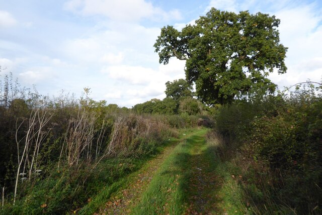
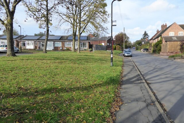
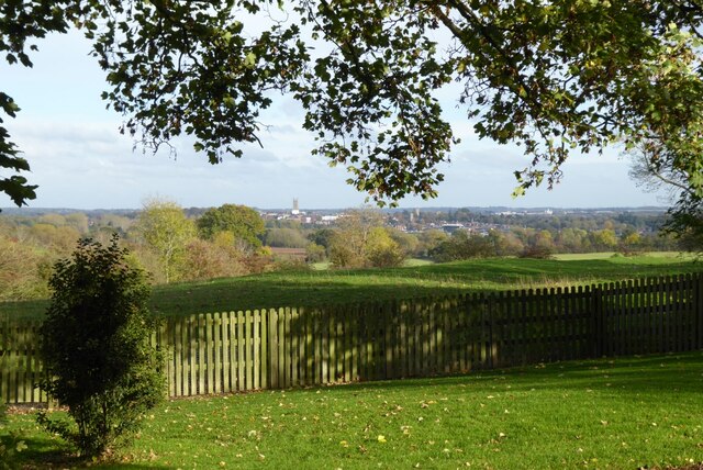
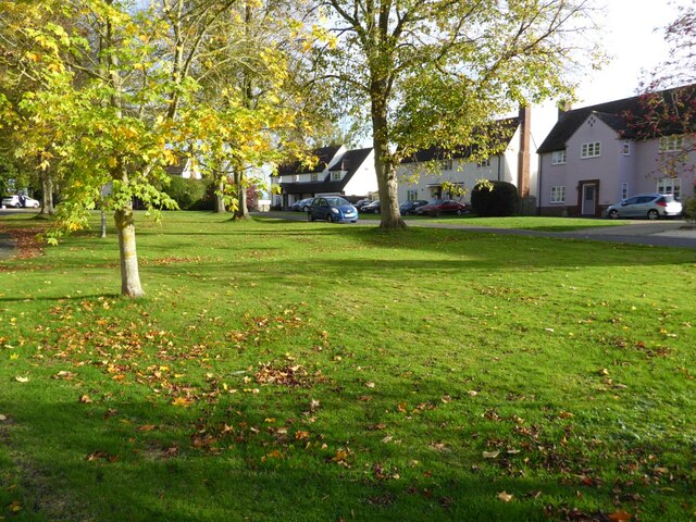
Hampton Magna is known for its charming and idyllic atmosphere, with its quaint cottages and traditional architecture. The village is surrounded by lush green fields and rolling hills, providing residents and visitors with stunning views of the surrounding countryside.
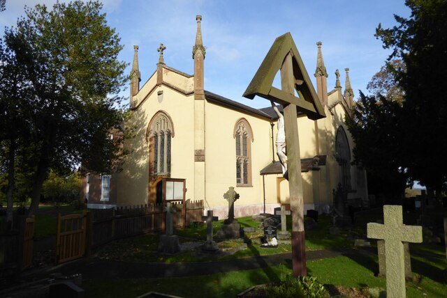
The village boasts a strong sense of community, with various community events and activities taking place throughout the year. The village hall is a focal point for social gatherings, hosting events such as art exhibitions, craft fairs, and community meetings. Additionally, Hampton Magna has a local pub and a primary school, providing essential amenities for its residents.
The village is well-connected to other parts of Warwickshire, with a regular bus service that runs to nearby towns and cities. The nearby Warwick Parkway railway station offers easy access to Birmingham and London, making Hampton Magna an attractive place to live for commuters.
Surrounded by a wealth of historical attractions, Hampton Magna offers residents and visitors the opportunity to explore the rich heritage of Warwickshire. Nearby attractions include Warwick Castle, renowned for its medieval architecture and stunning grounds, and the historic Warwick Racecourse.
Overall, Hampton Magna is a charming village that provides a peaceful and picturesque setting, combined with convenient access to amenities and transport links, making it an appealing place to reside in Warwickshire.
If you have any feedback on the listing, please let us know in the comments section below.
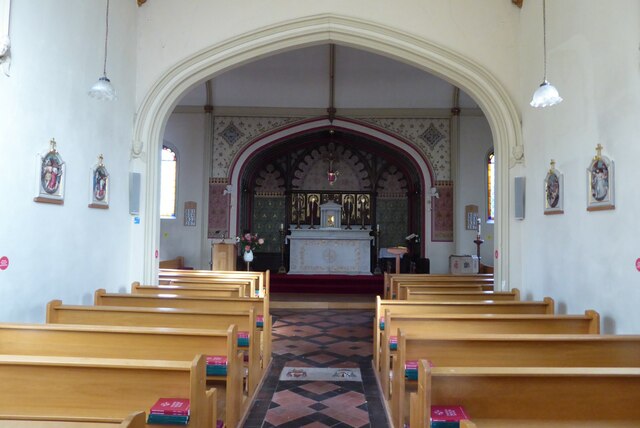
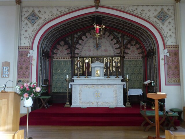
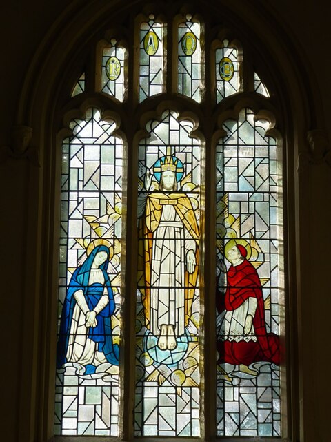
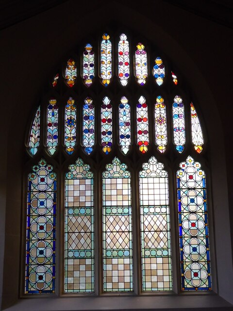
Hampton Magna Images
Images are sourced within 2km of 52.283501/-1.6223418 or Grid Reference SP2565. Thanks to Geograph Open Source API. All images are credited.


Hampton Magna is located at Grid Ref: SP2565 (Lat: 52.283501, Lng: -1.6223418)
Administrative County: Warwickshire
District: Warwick
Police Authority: Warwickshire
What 3 Words
///newly.games.fuzzy. Near Hatton, Warwickshire
Nearby Locations
Related Wikis

Budbrooke
Budbrooke is a village and civil parish in the Warwick district of Warwickshire, England. It is 3 miles west of Warwick and according to the 2001 census...

Budbrooke Barracks
Budbrooke Barracks was a military installation near Budbrooke in Warwickshire, England. == History == The barracks were built on agricultural land in 1877...

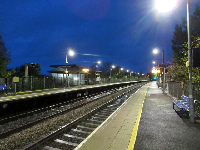
Warwick Parkway railway station
Warwick Parkway is a railway station with park and ride facilities on the western outskirts of Warwick in Warwickshire, England. It also serves the village...

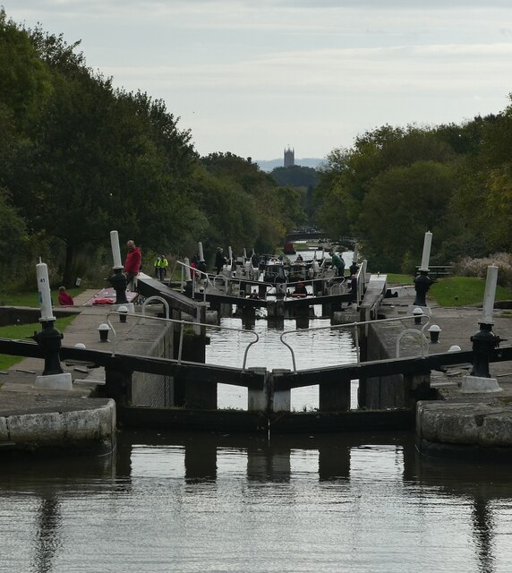
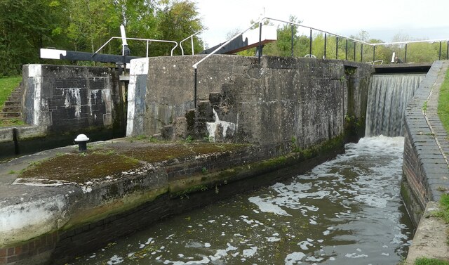
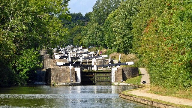
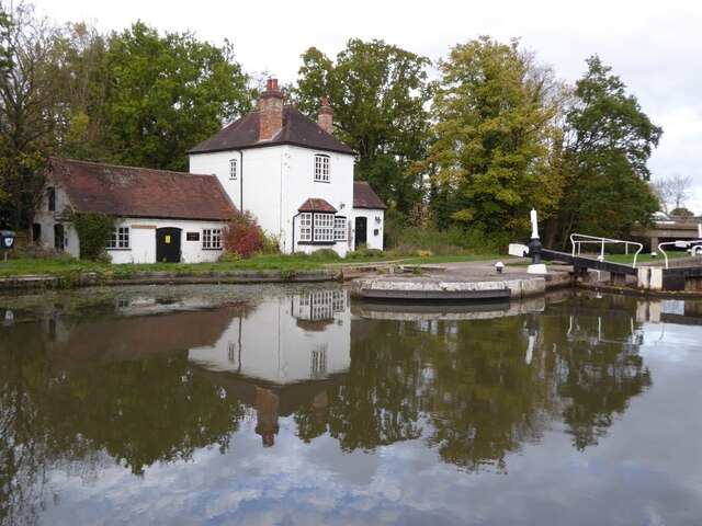
Saltisford Canal Arm
The Saltisford Canal Arm is a short stretch of canal located in the town of Warwick, Warwickshire, England. Opened in the 1790s, originally it wasn't an...
Nearby Amenities
Located within 500m of 52.283501,-1.6223418Have you been to Hampton Magna?
Leave your review of Hampton Magna below (or comments, questions and feedback).