Budbrooke Village

Heritage Site in Warwickshire Warwick

England

Budbrooke Village

Bridge at Hatton Locks Over the Grand Union Canal.
Bridge at Hatton Locks Credit: David Howard

Budbrooke Village, located in Warwickshire, England, is a picturesque heritage site that showcases the rich history and traditional charm of the region. Nestled in the heart of the Warwickshire countryside, this village is renowned for its well-preserved medieval architecture and historic landmarks.

One of the standout features of Budbrooke Village is its collection of quintessential thatched-roof cottages, which date back several centuries. These charming dwellings provide a glimpse into the past and offer visitors a chance to experience the authentic English countryside lifestyle.

The village is also home to St. Michael's Church, a Grade II listed building that dates back to the 12th century. This stunning church boasts a beautiful Norman architecture, with its impressive tower and intricately carved stone details. Its serene atmosphere and well-maintained churchyard make it a popular spot for locals and tourists alike.

Furthermore, Budbrooke Village is surrounded by lush green fields and rolling hills, making it an ideal destination for nature lovers. The nearby countryside offers various hiking and walking trails, allowing visitors to explore the stunning natural beauty of Warwickshire.

Overall, Budbrooke Village is a charming and historically significant heritage site that offers a unique and immersive experience into the medieval past of Warwickshire. Its well-preserved buildings, picturesque landscapes, and rich history make it a must-visit destination for anyone seeking to delve into the region's cultural heritage.

If you have any feedback on the listing, please let us know in the comments section below.

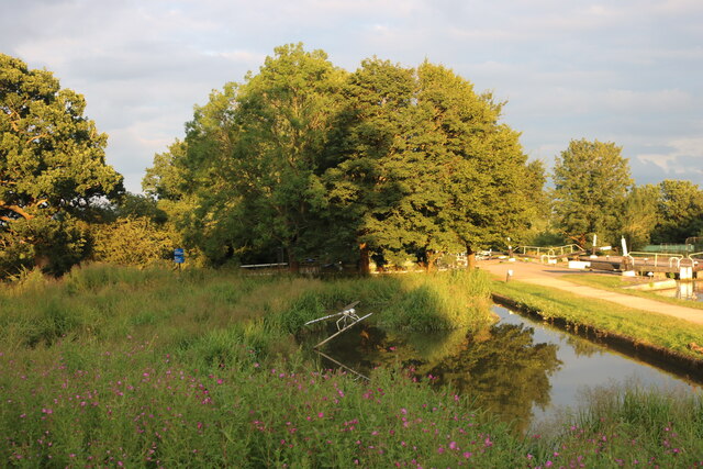
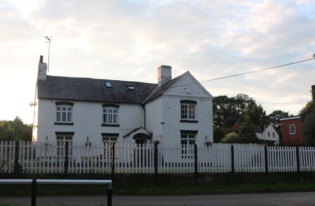
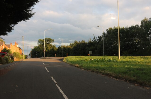
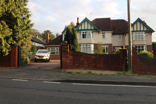
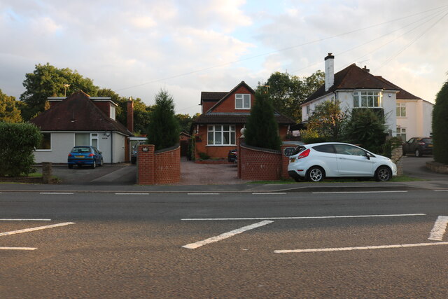
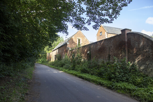
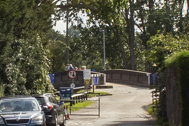
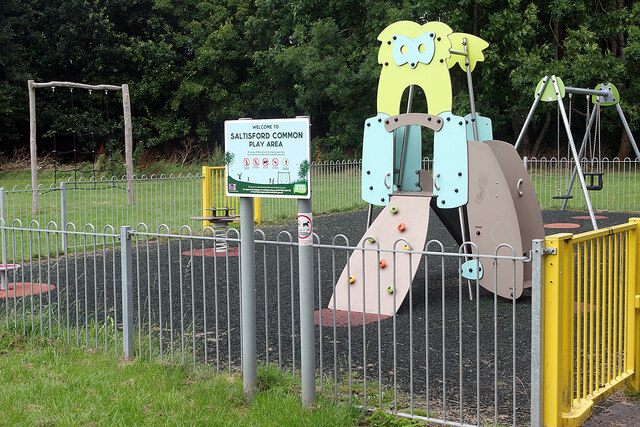
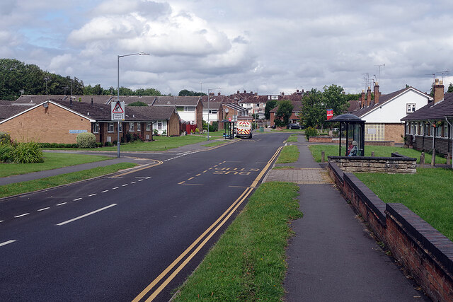
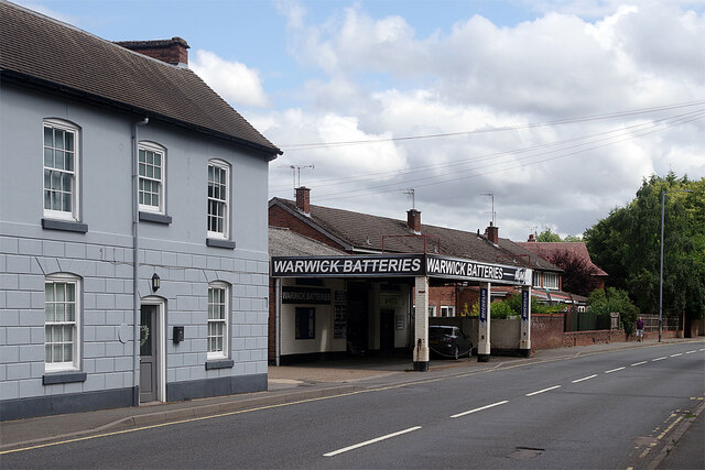
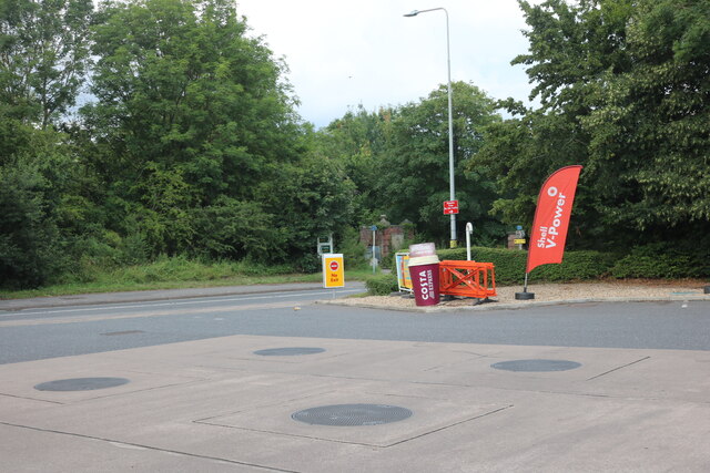
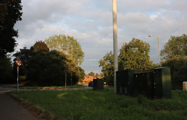
Budbrooke Village Images

Images are sourced within 2km of 52.287/-1.627 or Grid Reference SP2565. Thanks to Geograph Open Source API. All images are credited.

Bridge at Hatton Locks Over the Grand Union Canal.
Bridge at Hatton Locks
Over the Grand Union Canal.
Pond by Hatton Locks The locks can be seen on the right
Pond by Hatton Locks
The locks can be seen on the right
House by Hatton Locks Possibly the lock keepers cottage
House by Hatton Locks
Possibly the lock keepers cottage
Brownley Green, Hatton
Houses on Birmingham Road, Warwick
Lower Farm Converted vernacular farm buildings at Lower Farm
Lower Farm
Converted vernacular farm buildings at Lower Farm
Canal bridge
Canal bridge
Saltisford Common Play Area Children's play equipment is provided in this small enclosure on Saltisford Common, an open space between Cape Road and Birmingham Road in the Warwick suburbs.
Saltisford Common Play Area
Children's play equipment is provided in this small enclosure on Saltisford Common, an open space between Cape Road and Birmingham Road in the Warwick suburbs.
St Michael's Road, Warwick St Michael's Road connects Birmingham road with Cape Road in an s-shaped configuration. This end is lined with retirement bungalows.
St Michael's Road, Warwick
St Michael's Road connects Birmingham road with Cape Road in an s-shaped configuration. This end is lined with retirement bungalows.
Birmingham Road, Warwick This is a stretch of the A425 heading towards the town centre. Warwick Batteries is a well-established business here supplying vehicle batteries.
Birmingham Road, Warwick
This is a stretch of the A425 heading towards the town centre. Warwick Batteries is a well-established business here supplying vehicle batteries.
Shell petrol forecourt on Birmingham Road, Hatton
Brownley Green, Hatton
Hatton locks - looking down the flight Looking down part of the flight of Hatton locks with the tower of St Mary's, Warwick directly ahead. See <a href="https://www.geograph.org.uk/photo/7006505">SP2466 : Hatton locks - looking up the flight</a> for the view up the flight.
Hatton locks - looking down the flight
Looking down part of the flight of Hatton locks with the tower of St Mary's, Warwick directly ahead. See SP2466 : Hatton locks - looking up the flight for the view up the flight.
Hatton locks - looking up the flight Looking up part of the flight of Hatton Locks. See <a href="https://www.geograph.org.uk/photo/7006504">SP2466 : Hatton locks - looking down the flight</a> for the view down the flight.
Hatton locks - looking up the flight
Looking up part of the flight of Hatton Locks. See SP2466 : Hatton locks - looking down the flight for the view down the flight.
Hatton locks - Canalside buildings and lock The buildings on the far side of this lock - one of the 21 locks that make up the Hatton flight - were almost certainly originally associated with the canal itself, but on modern maps are simply described as a 'depot'.
See shared description below.
Hatton locks - Canalside buildings and lock
The buildings on the far side of this lock - one of the 21 locks that make up the Hatton flight - were almost certainly originally associated with the canal itself, but on modern maps are simply described as a 'depot'. See shared description below.
Hatton locks - Middle Lock and side channel This photo was taken from under the 'Middle Lock Lane' bridge over the Grand Union Canal at Hatton, so presumably the lock seen on the left here is the middle (11th) of the flight of 21. To the lock's right, and nearer the camera, is the weir-like side channel. Water rushes over this man-made waterfall when excess water enters the pound above it, but the flow generally lasts only a few moments - a minute or two at most.
See shared descriptions below.
Hatton locks - Middle Lock and side channel
This photo was taken from under the 'Middle Lock Lane' bridge over the Grand Union Canal at Hatton, so presumably the lock seen on the left here is the middle (11th) of the flight of 21. To the lock's right, and nearer the camera, is the weir-like side channel. Water rushes over this man-made waterfall when excess water enters the pound above it, but the flow generally lasts only a few moments - a minute or two at most. See shared descriptions below.
Hatton Locks The flight consists of 21 locks.  They were built in 1799 as part of the Warwick & Birmingham canal which became part of the Grand Union in 1927.

The flight has a total rise of 148 feet (45m) over a length of a little under 2 miles (3.2km) and is notable for its weir-like side channels.  Large pounds associated with each lock ensure a good supply of water.

The locks are all double width (14 feet / 4.3m) allowing two standard narrowboats to pass through side by side, or they can accommodate double-width barges and industrial boats.
Hatton Locks
The flight consists of 21 locks. They were built in 1799 as part of the Warwick & Birmingham canal which became part of the Grand Union in 1927. The flight has a total rise of 148 feet (45m) over a length of a little under 2 miles (3.2km) and is notable for its weir-like side channels. Large pounds associated with each lock ensure a good supply of water. The locks are all double width (14 feet / 4.3m) allowing two standard narrowboats to pass through side by side, or they can accommodate double-width barges and industrial boats.
Show me another place!

Budbrooke Village is located at Grid Ref: SP2565 (Lat: 52.287, Lng: -1.627)

Administrative County: Warwickshire

District: Warwick

Police Authority: Warwickshire

What 3 Words

///serenade.handbag.hobble. Near Hatton, Warwickshire

Related Wikis

Budbrooke

Budbrooke is a village and civil parish in the Warwick district of Warwickshire, England. It is 3 miles west of Warwick and according to the 2001 census...

Budbrooke Barracks

Budbrooke Barracks was a military installation near Budbrooke in Warwickshire, England. == History == The barracks were built on agricultural land in 1877...

Warwick Parkway railway station

Warwick Parkway is a railway station with park and ride facilities on the western outskirts of Warwick in Warwickshire, England. It also serves the village...

Central Hospital, Hatton

Central Hospital was a psychiatric hospital located in Hatton, Warwickshire, England. == History == Building began in 1846 on a 42-acre (17 ha) site purchased...

Saltisford Canal Arm

The Saltisford Canal Arm is a short stretch of canal located in the town of Warwick, Warwickshire, England. Opened in the 1790s, originally it wasn't an...
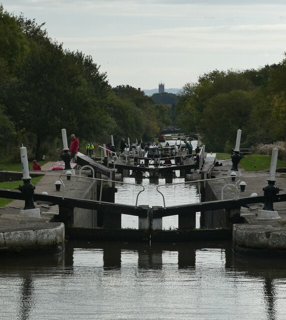
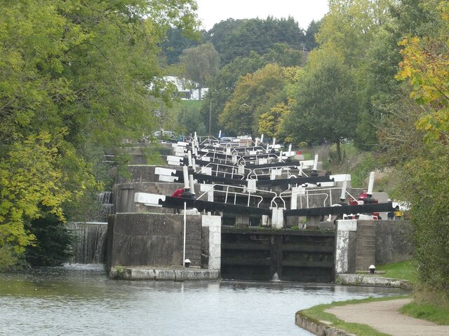
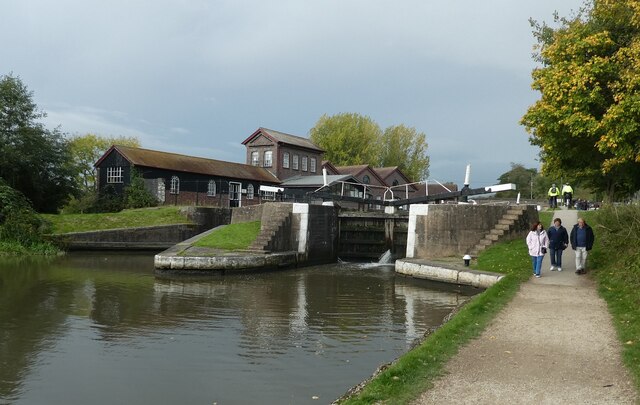
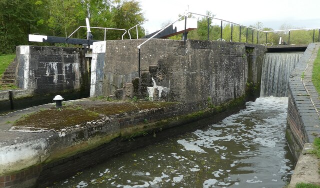
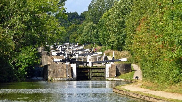
Hatton Locks

The Hatton Locks or Hatton Flight are a flight of 21 locks on the Grand Union Canal in Hatton, Warwickshire, England. The flight spans less than 2 miles...

Hatton, Warwickshire

Hatton is a village and civil parish about 4 miles (6 km) west-northwest of Warwick, in the Warwick District of Warwickshire in England. The parish had...

Warwick Racecourse

Warwick Racecourse is a horse racing course in Warwick, England. It is a National Hunt racing course and has a programme of 25 meetings throughout the...

Nearby Amenities

Located within 500m of 52.287,-1.627
Check Date: 2022-01-07
Traffic Calming: choker
Lat/Long: 52.2845574/-1.6211417
Barrier: kissing_gate
Foot: yes
Lat/Long: 52.2882263/-1.6210724
Barrier: kissing_gate
Foot: yes
Lat/Long: 52.2880249/-1.6225075
Budbrooke
Place: village
Wikidata: Q3103224
Wikipedia: en:Budbrooke
Lat/Long: 52.2875386/-1.6228108
Post Box
Brand: Royal Mail
Brand Wikidata: Q638098
Brand Wikipedia: en:Royal Mail
Collection Times: Mo-Fr 09:00; Sa 07:00
Operator: Royal Mail
Operator Wikidata: Q638098
Post Box Type: lamp
Ref: CV35 177D
Royal Cypher: EIIR
Royal Cypher Wikidata: Q33102113
Source: survey
Lat/Long: 52.2874695/-1.6230776
Generator Method: photovoltaic
Generator Output Electricity: yes
Generator Source: solar
Generator Type: solar_photovoltaic_panel
Location: roof
Power: generator
Lat/Long: 52.2841513/-1.6217183
Generator Method: photovoltaic
Generator Output Electricity: yes
Generator Source: solar
Generator Type: solar_photovoltaic_panel
Location: roof
Power: generator
Lat/Long: 52.2841616/-1.6218154
Brand: National Grid
Brand Wikidata: Q1465461
Material: wood
Operator: National Grid Electricity Distribution
Operator Old: Western Power Distribution
Operator Wikidata: Q7988183
Owner: National Grid Electricity Distribution (East Midlands) Plc
Owner Wikidata: Q114348127
Power: pole
Source: Bing
Lat/Long: 52.2887376/-1.6328575
Brand: National Grid
Brand Wikidata: Q1465461
Material: wood
Operator: National Grid Electricity Distribution
Operator Old: Western Power Distribution
Operator Wikidata: Q7988183
Owner: National Grid Electricity Distribution (East Midlands) Plc
Owner Wikidata: Q114348127
Power: pole
Source: Bing
Lat/Long: 52.288357/-1.6315073
Brand: National Grid
Brand Wikidata: Q1465461
Material: wood
Operator: National Grid Electricity Distribution
Operator Old: Western Power Distribution
Operator Wikidata: Q7988183
Owner: National Grid Electricity Distribution (East Midlands) Plc
Owner Wikidata: Q114348127
Power: pole
Source: Bing
Lat/Long: 52.2879862/-1.6301367
Brand: National Grid
Brand Wikidata: Q1465461
Material: wood
Operator: National Grid Electricity Distribution
Operator Old: Western Power Distribution
Operator Wikidata: Q7988183
Owner: National Grid Electricity Distribution (East Midlands) Plc
Owner Wikidata: Q114348127
Power: pole
Source: Bing
Lat/Long: 52.2876581/-1.6288921
Church Farm Budbrooke
Brand: National Grid
Brand Wikidata: Q1465461
Frequency: 50
Material: wood
Operator: National Grid Electricity Distribution
Operator Old: Western Power Distribution
Operator Wikidata: Q7988183
Owner: National Grid Electricity Distribution (East Midlands) Plc
Owner Wikidata: Q114348127
Power: pole
Ref: 931986
Source: Bing
Transformer: distribution
Voltage Primary: 11000
Voltage Secondary: 400
Lat/Long: 52.2873152/-1.6276422
Brand: National Grid
Brand Wikidata: Q1465461
Material: wood
Operator: National Grid Electricity Distribution
Operator Old: Western Power Distribution
Operator Wikidata: Q7988183
Owner: National Grid Electricity Distribution (East Midlands) Plc
Owner Wikidata: Q114348127
Power: pole
Source: Bing
Lat/Long: 52.2870527/-1.6266659
Brand: National Grid
Brand Wikidata: Q1465461
Material: wood
Operator: National Grid Electricity Distribution
Operator Old: Western Power Distribution
Operator Wikidata: Q7988183
Owner: National Grid Electricity Distribution (East Midlands) Plc
Owner Wikidata: Q114348127
Power: pole
Source: Bing
Lat/Long: 52.2867131/-1.6254106
Brand: National Grid
Brand Wikidata: Q1465461
Material: wood
Operator: National Grid Electricity Distribution
Operator Old: Western Power Distribution
Operator Wikidata: Q7988183
Owner: National Grid Electricity Distribution (East Midlands) Plc
Owner Wikidata: Q114348127
Power: pole
Source: Bing
Lat/Long: 52.2863683/-1.6241112
Brand: National Grid
Brand Wikidata: Q1465461
Material: wood
Operator: National Grid Electricity Distribution
Operator Old: Western Power Distribution
Operator Wikidata: Q7988183
Owner: National Grid Electricity Distribution (East Midlands) Plc
Owner Wikidata: Q114348127
Power: pole
Source: Bing
Lat/Long: 52.2860256/-1.6228518
Brand: National Grid
Brand Wikidata: Q1465461
Material: wood
Operator: National Grid Electricity Distribution
Operator Old: Western Power Distribution
Operator Wikidata: Q7988183
Owner: National Grid Electricity Distribution (East Midlands) Plc
Owner Wikidata: Q114348127
Power: pole
Source: Bing
Lat/Long: 52.285617/-1.6213793
Entrance: main
Lat/Long: 52.2876477/-1.6226118
Shops
Bus: yes
Public Transport: stop_position
Lat/Long: 52.2832871/-1.6229666
Shops
Bus: yes
Public Transport: stop_position
Lat/Long: 52.2832765/-1.6229749
Give Way
Direction: forward
Lat/Long: 52.2846828/-1.6228253
Give Way
Direction: forward
Lat/Long: 52.2837516/-1.6244468
Brand: National Grid
Brand Wikidata: Q1465461
Material: wood
Operator: National Grid Electricity Distribution
Operator Old: Western Power Distribution
Operator Wikidata: Q7988183
Owner: National Grid Electricity Distribution (East Midlands) Plc
Owner Wikidata: Q114348127
Power: pole
Lat/Long: 52.2893924/-1.632122
Brand: National Grid
Brand Wikidata: Q1465461
Material: wood
Operator: National Grid Electricity Distribution
Operator Old: Western Power Distribution
Operator Wikidata: Q7988183
Owner: National Grid Electricity Distribution (East Midlands) Plc
Owner Wikidata: Q114348127
Power: pole
Lat/Long: 52.2901285/-1.6313594
Brand: National Grid
Brand Wikidata: Q1465461
Material: wood
Operator: National Grid Electricity Distribution
Operator Old: Western Power Distribution
Operator Wikidata: Q7988183
Owner: National Grid Electricity Distribution (East Midlands) Plc
Owner Wikidata: Q114348127
Power: pole
Lat/Long: 52.2906273/-1.6308221
Grange Farm Budbrooke
Brand: National Grid
Brand Wikidata: Q1465461
Frequency: 50
Location Transition: yes
Material: wood
Operator: National Grid Electricity Distribution
Operator Old: Western Power Distribution
Operator Wikidata: Q7988183
Owner: National Grid Electricity Distribution (East Midlands) Plc
Owner Wikidata: Q114348127
Power: pole
Ref: 931985
Transformer: distribution
Voltage Primary: 11000
Voltage Secondary: 400
Lat/Long: 52.2882848/-1.6245439
Brand: National Grid
Brand Wikidata: Q1465461
Material: wood
Operator: National Grid Electricity Distribution
Operator Old: Western Power Distribution
Operator Wikidata: Q7988183
Owner: National Grid Electricity Distribution (East Midlands) Plc
Owner Wikidata: Q114348127
Power: pole
Lat/Long: 52.2874052/-1.6243349
Bus Stop
Hampton Magna Shops
Bench: yes
Bin: yes
Bus: yes
Covered: no
Departures Board: timetable
Lit: yes
Naptan AtcoCode: 4200F025701
Naptan Bearing: N
Naptan CommonName: Shops
Naptan Indicator: opp
Naptan NaptanCode: wardjagm
Naptan PlusbusZoneRef: LMNGTNS
Naptan Street: Slade Hill
Naptan Verified: no
Passenger Information Display: no
Public Transport: platform
Shelter: yes
Tactile Paving: no
Lat/Long: 52.2832724/-1.6229338
Bus Stop
Hampton Magna Shops
Bench: no
Bin: no
Bus: yes
Covered: no
Lit: yes
Naptan AtcoCode: 4200F025700
Naptan Bearing: S
Naptan CommonName: Shops
Naptan Indicator: adj
Naptan NaptanCode: wardgjpa
Naptan PlusbusZoneRef: LMNGTNS
Naptan Street: Slade Hill
Naptan Verified: no
Passenger Information Display: no
Public Transport: platform
Shelter: no
Tactile Paving: no
Lat/Long: 52.2832883/-1.6229968
Street Lamp
Lat/Long: 52.2845233/-1.6212983
Street Lamp
Lat/Long: 52.2845302/-1.620991
Street Lamp
Lat/Long: 52.2843324/-1.6211542
The data included in this document is from www.openstreetmap.org. The data is made available under ODbL.

Have you been to Budbrooke Village?

Leave your review of Budbrooke Village below (or comments, questions and feedback).