Buckton Castle

Heritage Site in Cheshire

England

Buckton Castle

Butchers Arms public house, Mossley
Butchers Arms public house, Mossley Credit: Ian S

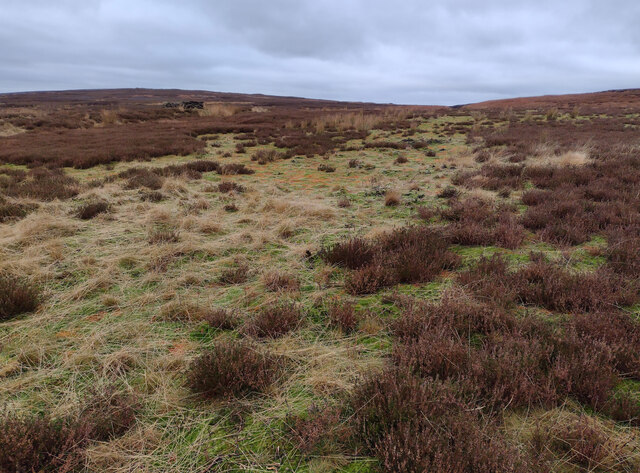
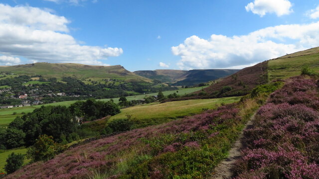
Buckton Castle, located in Cheshire, England, is a significant heritage site that dates back to the late 12th century. This medieval fortress stands atop a prominent hill in the town of Carrbrook, overlooking the Tame Valley and the borough of Tameside. The castle was strategically built to control the nearby trade routes and provide protection to the surrounding area.

The castle was constructed using locally sourced sandstone, and its remains consist of a circular enclosure with a diameter of approximately 50 meters. The site features a well-preserved motte, or raised earthwork, which would have supported a wooden tower or keep. The outer walls of the castle were fortified with a ditch and a bank, providing additional protection.

Buckton Castle played a significant role in the local history, serving as a defensive stronghold during periods of conflict. It is believed to have been originally built by the earls of Chester, and subsequently passed into the possession of the de Neville family. The castle was later abandoned, and by the 16th century, it had fallen into ruin.

Today, Buckton Castle is a scheduled ancient monument and a popular destination for history enthusiasts and walkers alike. Visitors can explore the site, taking in the panoramic views of the surrounding countryside. Although little remains of the original structure, the ruins serve as a reminder of the area's rich medieval past and the strategic importance of this once-mighty fortress.

If you have any feedback on the listing, please let us know in the comments section below.

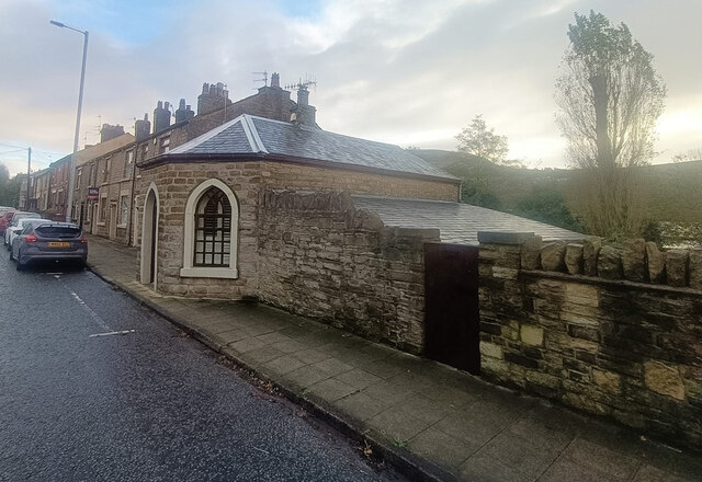
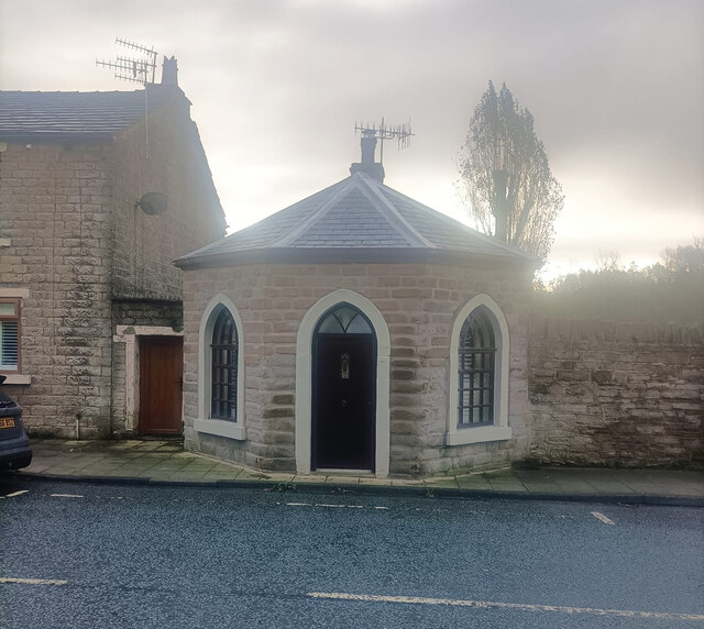
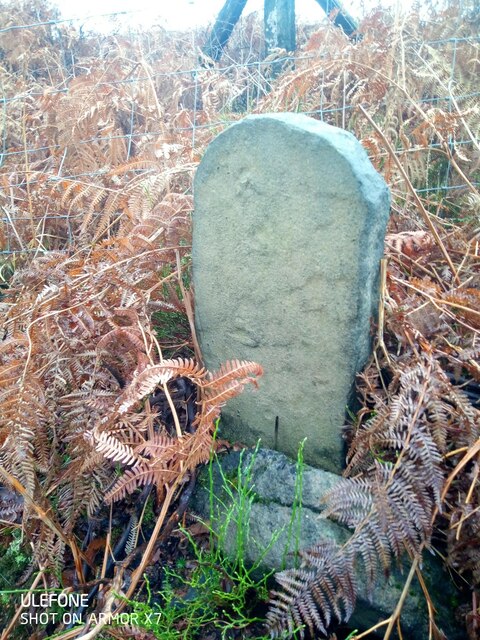
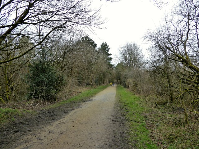
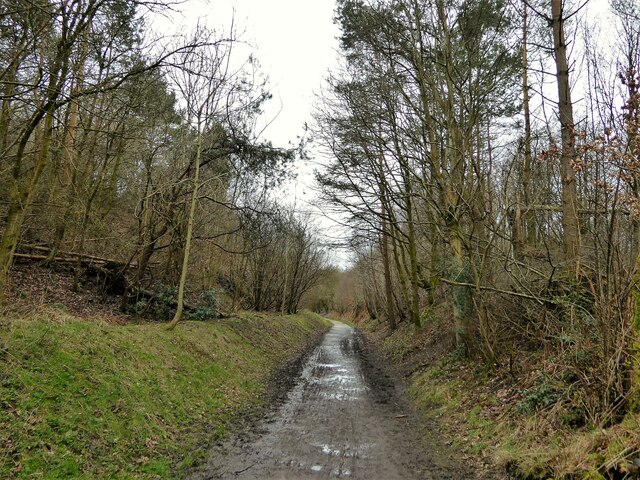
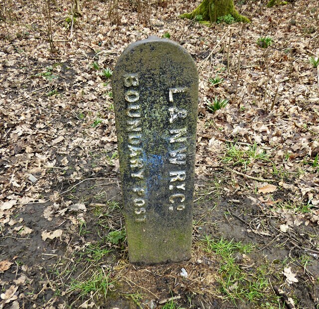
Buckton Castle Images

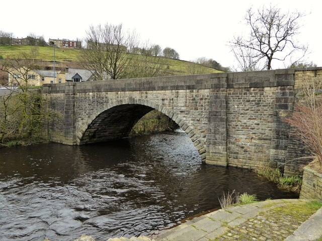
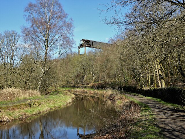
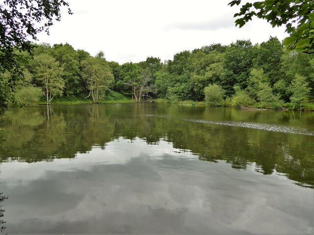
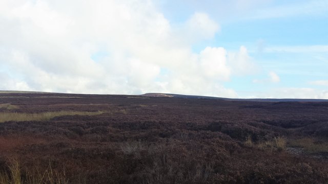
Images are sourced within 2km of 53.51/-2.023 or Grid Reference SD9801. Thanks to Geograph Open Source API. All images are credited.

Butchers Arms public house, Mossley
South portal of Scout Tunnel, Huddersfield Narrow Canal The Huddersfield Narrow Canal opened in 1811. It runs for just under 20 miles from Lock 1E, where it joins the Huddersfield Broad Canal at the rear of the University of Huddersfield campus, to the junction with the Ashton Canal at Whitelands Basin in Ashton-under-Lyne. It crosses the Pennines by means of 74 locks and the Standedge Tunnel.
South portal of Scout Tunnel, Huddersfield Narrow Canal
The Huddersfield Narrow Canal opened in 1811. It runs for just under 20 miles from Lock 1E, where it joins the Huddersfield Broad Canal at the rear of the University of Huddersfield campus, to the junction with the Ashton Canal at Whitelands Basin in Ashton-under-Lyne. It crosses the Pennines by means of 74 locks and the Standedge Tunnel.
Moorland from the Myriad Intersection Taken just a metre into SD's extreme SE corner.  Not a particularly interesting feature, but an achievement to get here!!
Moorland from the Myriad Intersection
Taken just a metre into SD's extreme SE corner. Not a particularly interesting feature, but an achievement to get here!!
Toll Bar Cottage, Mossley. A635 On the SE side of Manchester Road. This Toll House was erected by
the Ridgehill & Lanes & Holehouse Turnpike Trust in the 19ᵗʰ Century.
The frontal view is <a href="https://www.geograph.org.uk/photo/7335014">SD9702 : Toll Bar Cottage, Mossley. A635</a>.

Grade II Listed, February 1986. Nᴼ 1068038 see <span class="nowrap"><a title="https://historicengland.org.uk/listing/the-list/list-entry/1068038" rel="nofollow ugc noopener" href="https://historicengland.org.uk/listing/the-list/list-entry/1068038">Link</a><img style="margin-left:2px;" alt="External link" title="External link - shift click to open in new window" src="https://s1.geograph.org.uk/img/external.png" width="10" height="10"/></span>

Milestone Society National ID: MA.MOS02
Toll Bar Cottage, Mossley. A635
On the SE side of Manchester Road. This Toll House was erected by the Ridgehill & Lanes & Holehouse Turnpike Trust in the 19ᵗʰ Century. The frontal view is SD9702 : Toll Bar Cottage, Mossley. A635. Grade II Listed, February 1986. Nᴼ 1068038 see LinkExternal link Milestone Society National ID: MA.MOS02
Toll Bar Cottage, Mossley. A635 On the SE side of Manchester Road. This Toll House was erected by
the Ridgehill & Lanes & Holehouse Turnpike Trust in the 19ᵗʰ Century.
The view looking NE is <a href="https://www.geograph.org.uk/photo/7335013">SD9702 : Toll Bar Cottage, Mossley. A635</a>.

Grade II Listed, February 1986. Nᴼ 1068038 see <span class="nowrap"><a title="https://historicengland.org.uk/listing/the-list/list-entry/1068038" rel="nofollow ugc noopener" href="https://historicengland.org.uk/listing/the-list/list-entry/1068038">Link</a><img style="margin-left:2px;" alt="External link" title="External link - shift click to open in new window" src="https://s1.geograph.org.uk/img/external.png" width="10" height="10"/></span>

Milestone Society National ID: MA.MOS02
Toll Bar Cottage, Mossley. A635
On the SE side of Manchester Road. This Toll House was erected by the Ridgehill & Lanes & Holehouse Turnpike Trust in the 19ᵗʰ Century. The view looking NE is SD9702 : Toll Bar Cottage, Mossley. A635. Grade II Listed, February 1986. Nᴼ 1068038 see LinkExternal link Milestone Society National ID: MA.MOS02
On the Oldham Way above Cowards, Greenfield
Old Boundary Marker on Slatepit Moor Boundary Marker against a wire fence beside Shire Clough on Slatepit Moor, near Carrbrook. On the former boundary of Staley and Tintwistle townships in Mottram parish in Cheshire, both being parishes from 1866. From 1894 Stalybridge parish in Cheshire and Mossley parish in Lancashire. From 1974 entirely in Tameside. Without an inscription its function and date is hard to decide.

Milestone Society National ID: CH_STAMOS01bm
Old Boundary Marker on Slatepit Moor
Boundary Marker against a wire fence beside Shire Clough on Slatepit Moor, near Carrbrook. On the former boundary of Staley and Tintwistle townships in Mottram parish in Cheshire, both being parishes from 1866. From 1894 Stalybridge parish in Cheshire and Mossley parish in Lancashire. From 1974 entirely in Tameside. Without an inscription its function and date is hard to decide. Milestone Society National ID: CH_STAMOS01bm
Route of former railway at Mossley Now a multi-purpose route
Route of former railway at Mossley
Now a multi-purpose route
Route of former railway at Woodend Now a multi-purpose route and followed by the Tame Valley Way
Route of former railway at Woodend
Now a multi-purpose route and followed by the Tame Valley Way
Old Boundary Post For the LNWR on Winterton Lane near the canal bridge. The post is much closer to the canal than the railway and presumably was erected when the canal was in railway ownership.
Old Boundary Post
For the LNWR on Winterton Lane near the canal bridge. The post is much closer to the canal than the railway and presumably was erected when the canal was in railway ownership.
Roaches Bridge Carries Manchester Road over the River Tame
Roaches Bridge
Carries Manchester Road over the River Tame
Abandoned Engineering High above the Huddersfield Narrow Canal a classic piece of abandoned engineering. Apparently this was a conveyor to carry coal across from railway sidings to power station.
The conveyor would have crossed the canal and the parallel River Tame
Abandoned Engineering
High above the Huddersfield Narrow Canal a classic piece of abandoned engineering. Apparently this was a conveyor to carry coal across from railway sidings to power station. The conveyor would have crossed the canal and the parallel River Tame
Former Railway Overbridge Across the path to Kershaw Hey with just one abutment left at the railway embankment
Former Railway Overbridge
Across the path to Kershaw Hey with just one abutment left at the railway embankment
Former reservoir Now an angling pond. There are a lot of industrial relics in this area, some connected with the former power station at Heyrod - has this former reservoir some connection?
Former reservoir
Now an angling pond. There are a lot of industrial relics in this area, some connected with the former power station at Heyrod - has this former reservoir some connection?
Looking towards Wicken Spring From a track near Turf Pits.
Looking towards Wicken Spring
From a track near Turf Pits.
Swineshaw  Moor After a steady climb over Turf Pits, from Swineshaw Upper Reservoir, the track veers right onto the plateau of Swineshaw Moor. Another couple of hundred yards over desolate moorland brings one to the northern edge of the plateau, where this view across to Iron Tongue runoff is revealed. The runoff channel descends the valley to the north, ending at the reservoir above Carr Brook. The slopes in the distance are Far Harehill Clough.
Swineshaw Moor
After a steady climb over Turf Pits, from Swineshaw Upper Reservoir, the track veers right onto the plateau of Swineshaw Moor. Another couple of hundred yards over desolate moorland brings one to the northern edge of the plateau, where this view across to Iron Tongue runoff is revealed. The runoff channel descends the valley to the north, ending at the reservoir above Carr Brook. The slopes in the distance are Far Harehill Clough.
Frost on Swineshaw Moor As the track over Turf Pits peters out, one carries on over Swineshaw Moor, where this dry, frozen runoff exposes the peat under the hardy grass and heather surface.
Frost on Swineshaw Moor
As the track over Turf Pits peters out, one carries on over Swineshaw Moor, where this dry, frozen runoff exposes the peat under the hardy grass and heather surface.
Far Harehill Clough Far Harehill Clough on left, Iron tongue on right. Both lead onto a peaty plateau where mountain hares still abound.
Far Harehill Clough
Far Harehill Clough on left, Iron tongue on right. Both lead onto a peaty plateau where mountain hares still abound.
Show me another place!

Buckton Castle is located at Grid Ref: SD9801 (Lat: 53.51, Lng: -2.023)

Unitary Authority: Tameside

Police Authority: Greater Manchester

What 3 Words

///smart.class.universal. Near Mossley, Manchester

Related Wikis

Heyheads

Heyheads is the easternmost area of Stalybridge, in Greater Manchester, England. The area includes the sixteenth century Grade II listed Nos 1, 2 and 3...

Buckton Castle

Buckton Castle was a medieval enclosure castle near Carrbrook in Stalybridge, Greater Manchester, England. It was surrounded by a 2.8-metre-wide (9 ft...
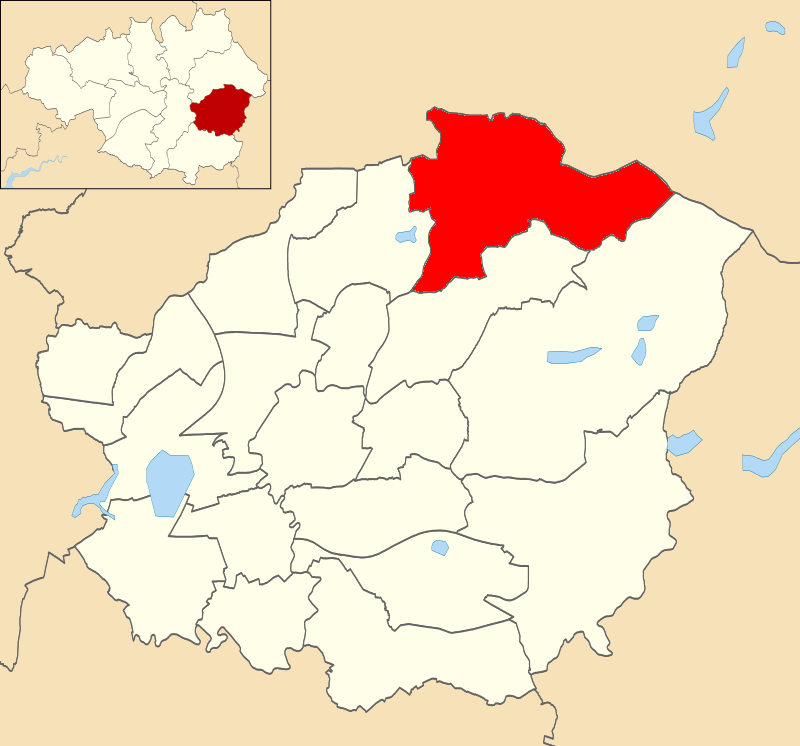
Mossley (ward)

Mossley is an electoral ward of Tameside, England. It is represented in Westminster by Jonathan Reynolds Labour Co-operative MP for Stalybridge and Hyde...

Micklehurst railway station

Micklehurst Railway Station served the town of Mossley in Cheshire. It was built by the London and North Western Railway on its Micklehurst Line. The...

Mossley Hollins High School

Mossley Hollins High School is a coeducational secondary school located in Mossley, in the borough of Tameside, Greater Manchester. The school's original...

Mossley

Mossley (/ˈmɒzli/) is a town and civil parish in Tameside, Greater Manchester, England. It is located in the upper Tame Valley and the foothills of the...
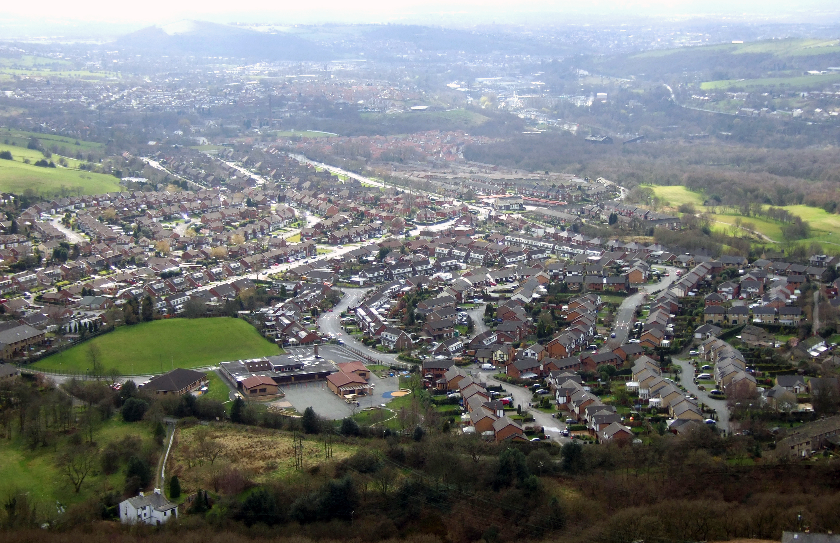
Carrbrook

Carrbrook is a village east of Stalybridge, in Cheshire, Greater Manchester, England. The area still has many seventeenth and eighteenth-century buildings...

Mossley railway station

Mossley railway station in Mossley, Greater Manchester, England, is on the Huddersfield Line 9.9 miles (16 km) north-east of Manchester Victoria and is...

Nearby Amenities

Located within 500m of 53.51,-2.023
Moorgate
Is In: Tameside, Greater Manchester, England, UK
Name Ur: مور گیٹ
Place: hamlet
Source: npe
Lat/Long: 53.5075565/-2.0255793
Bus Stop
Buckton Vale, Huddersfield Road / opposite School Lane
Bench: no
Bin: no
Bus: yes
Naptan AtcoCode: 1800EH08191
Naptan Bearing: N
Naptan CommonName: Huddersfield Road/Staley Cottages
Naptan Indicator: Op Building 596
Naptan Landmark: OP BUILDING 596
Naptan NaptanCode: manawmga
Naptan PlusbusZoneRef: MNCRPIC
Naptan ShortCommonName: Staley Cottages
Naptan Street: Huddersfield Road
Naptan Verified: no
Network: TfGM
Operator: TfGM
Public Transport: platform
Shelter: no
Source: naptan_import
Tactile Paving: no
Lat/Long: 53.5068414/-2.0278189
Bus Stop
Micklehurst, Huddersfield Road / opposite Staley Road
Bus: yes
Naptan AtcoCode: 1800EH08201
Naptan Bearing: S
Naptan CommonName: Huddersfield Road/Staley Road
Naptan Indicator: Opp Stamford Ar
Naptan Landmark: HOUSE 642
Naptan NaptanCode: manawmgd
Naptan PlusbusZoneRef: MNCRPIC
Naptan ShortCommonName: Staley Road
Naptan Street: Huddersfield Road
Naptan Verified: no
Network: TfGM
Operator: TfGM
Public Transport: platform
Shelter: no
Source: naptan_import
Lat/Long: 53.5092862/-2.0282276
Bus Stop
Micklehurst, Huddersfield Road / near Staley Road
Bus: yes
Naptan AtcoCode: 1800EH08211
Naptan Bearing: N
Naptan CommonName: Huddersfield Road/Staley Road
Naptan Indicator: Stamford Arms
Naptan Landmark: STAMFORD ARMS
Naptan NaptanCode: manawmgj
Naptan PlusbusZoneRef: MNCRPIC
Naptan ShortCommonName: Staley Road
Naptan Street: Huddersfield Road
Naptan Verified: no
Network: TfGM
Operator: TfGM
Public Transport: platform
Shelter: yes
Source: naptan_import
Lat/Long: 53.5093671/-2.0284086
Bus Stop
Huddersfield Road/Richmond Lodge
Bus: yes
Naptan AtcoCode: 1800EH45381
Naptan Bearing: NE
Naptan CommonName: Huddersfield Road/Richmond Lodge
Naptan Indicator: Opp Green Land
Naptan Landmark: OPP GREEN LAND
Naptan NaptanCode: mandgwma
Naptan PlusbusZoneRef: MNCRPIC
Naptan ShortCommonName: Richmond Lodge
Naptan Street: Huddersfield Road
Naptan Verified: no
Network: TfGM
Public Transport: platform
Shelter: no
Source: naptan_import
Lat/Long: 53.5137451/-2.0261042
Bus Stop
Huddersfield Road/Richmond Lodge
Bus: yes
Naptan AtcoCode: 1800EH45391
Naptan Bearing: SW
Naptan CommonName: Huddersfield Road/Richmond Lodge
Naptan Indicator: Opp House 1
Naptan Landmark: ALLOTMENTS
Naptan NaptanCode: mandgwmd
Naptan Notes: INDICATOR AMENDED
Naptan PlusbusZoneRef: MNCRPIC
Naptan ShortCommonName: Richmond Lodge
Naptan Street: Huddersfield Road
Naptan Verified: no
Network: TfGM
Public Transport: platform
Shelter: no
Source: naptan_import
Lat/Long: 53.513562/-2.0263191
Traffic Signals
Lat/Long: 53.5065297/-2.0277718
Noexit: yes
Lat/Long: 53.5116999/-2.0287225
Turning Circle
Source: Bing
Lat/Long: 53.5057088/-2.0249369
Turning Circle
Source: Bing
Lat/Long: 53.5061823/-2.0242127
Pub
Stamford Arms
Brand: Thwaites
Brand Wikidata: Q7799526
Brewery: Thwaites
Lat/Long: 53.5090004/-2.0284123
Heyheads
Name Ur: ہئے ہیڈز
Place: hamlet
Wikidata: Q5749737
Lat/Long: 53.5096358/-2.0283624
Buckton Castle
Archaeological Site: fortification
Historic: archaeological_site
Historic Civilization: medieval
Wikidata: Q4983547
Lat/Long: 53.5111631/-2.0177998
Description: Carrbrook Heritage Trail
Information: board
Tourism: information
Lat/Long: 53.5092752/-2.02127
Generator Method: photovoltaic
Generator Output Electricity: yes
Generator Source: solar
Generator Type: solar_photovoltaic_panel
Location: roof
Power: generator
Lat/Long: 53.5070579/-2.027531
Generator Method: photovoltaic
Generator Output Electricity: yes
Generator Source: solar
Generator Type: solar_photovoltaic_panel
Location: roof
Power: generator
Lat/Long: 53.5061362/-2.0202848
Generator Method: photovoltaic
Generator Output Electricity: yes
Generator Source: solar
Generator Type: solar_photovoltaic_panel
Location: roof
Power: generator
Lat/Long: 53.5059416/-2.0242129
Generator Method: photovoltaic
Generator Output Electricity: yes
Generator Source: solar
Generator Type: solar_photovoltaic_panel
Location: roof
Power: generator
Lat/Long: 53.5069083/-2.0239179
Generator Method: photovoltaic
Generator Output Electricity: yes
Generator Source: solar
Generator Type: solar_photovoltaic_panel
Location: roof
Power: generator
Lat/Long: 53.5071109/-2.0274799
Communication Mobile Phone: yes
Man Made: mast
Tower Type: communication
Lat/Long: 53.5118875/-2.02405
Communication Mobile Phone: yes
Man Made: mast
Tower Type: communication
Lat/Long: 53.5115104/-2.0240317
Communication Mobile Phone: yes
Man Made: mast
Tower Type: communication
Lat/Long: 53.5116555/-2.0243956
Golf: pin
Lat/Long: 53.5086252/-2.0290749
Golf: pin
Lat/Long: 53.5089616/-2.0292108
Power: pole
Lat/Long: 53.5080855/-2.0222321
Power: pole
Lat/Long: 53.5090972/-2.0220083
Power: pole
Lat/Long: 53.5086168/-2.0235825
Power: pole
Lat/Long: 53.5089103/-2.0249112
Power: pole
Lat/Long: 53.5078666/-2.0214883
Power: pole
Lat/Long: 53.5075845/-2.0206416
Power: pole
Lat/Long: 53.5075133/-2.0195045
Power: pole
Lat/Long: 53.507014/-2.019102
Power: pole
Lat/Long: 53.5060396/-2.0194499
The data included in this document is from www.openstreetmap.org. The data is made available under ODbL.

Have you been to Buckton Castle?

Leave your review of Buckton Castle below (or comments, questions and feedback).