Builth Castle

Heritage Site in Brecknockshire

Wales

Builth Castle

Royal Welsh Showground
Royal Welsh Showground Credit: Steven Brown

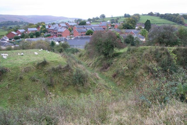
Builth Castle is a medieval fortress located in the town of Builth Wells, Brecknockshire, Wales. Built in the early 12th century, it was strategically positioned on a high cliff overlooking the River Wye. The castle was erected by the Norman lord Philip de Braose to secure his power and control over the region.

The castle was constructed in a rectangular shape, with four corner towers and a central courtyard. It boasted sturdy stone walls and a formidable gatehouse, showcasing the military prowess of its builders. Over the years, several modifications were made to the castle, including the addition of a stone keep and a hall.

Builth Castle played a significant role in the turbulent history of Wales. It witnessed numerous conflicts, sieges, and changes in ownership. In the early 13th century, it fell under the control of the powerful Welsh prince Llywelyn the Great, who used it as a base for his campaigns against the English. However, after Llywelyn's death, the castle returned to English hands.

By the 16th century, Builth Castle had fallen into disrepair and was abandoned. Today, all that remains are its ruins, which are managed by Cadw, the Welsh government's historic environment service. Visitors can explore the remains of the castle, including its walls, towers, and gatehouse, which provide a glimpse into its former grandeur.

Builth Castle is a popular destination for history enthusiasts, offering a chance to delve into the medieval past and appreciate the architectural and strategic significance of this once-mighty fortress.

If you have any feedback on the listing, please let us know in the comments section below.

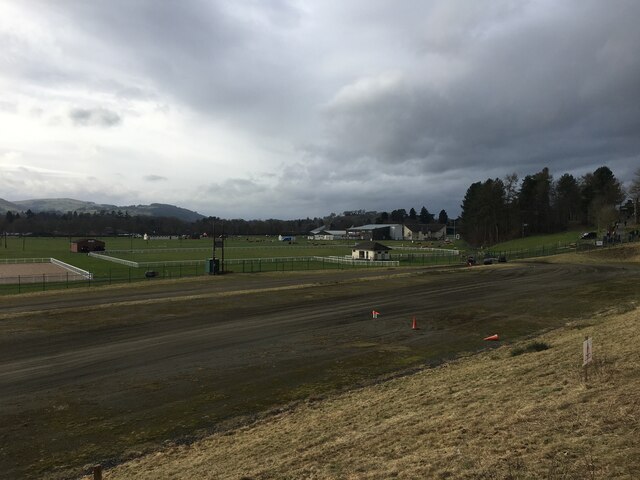
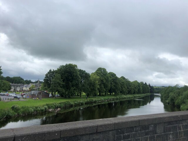
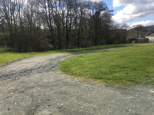
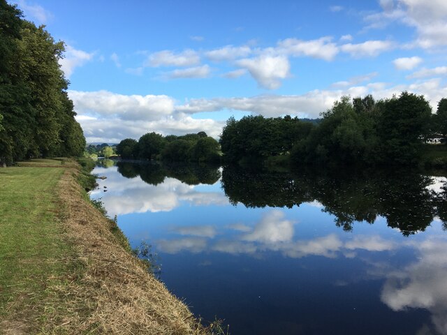
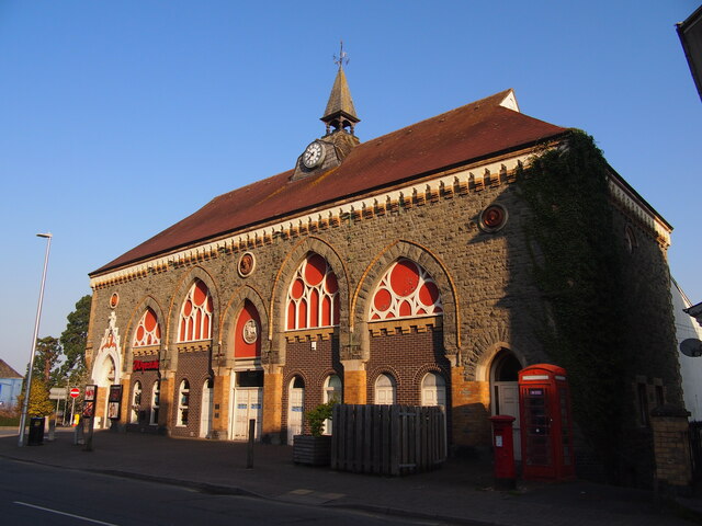
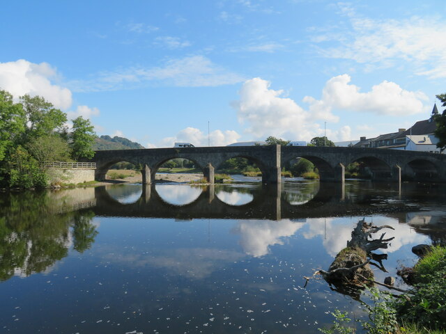
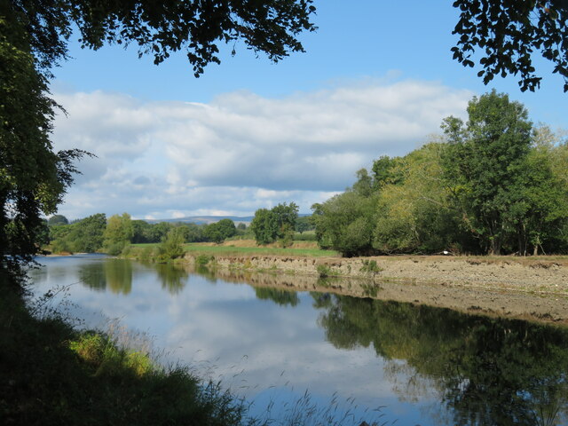
Builth Castle Images

Images are sourced within 2km of 52.1493/-3.3987 or Grid Reference SO0451. Thanks to Geograph Open Source API. All images are credited.

Royal Welsh Showground
Garth Hill
Garth Hill
River Wye at Builth Wells
Gravel road in Royal Welsh Showground
River Wye, Builth Wells
Wyeside Arts Centre, Builth Wells
Wye Bridge, Builth Wells Low water levels on the Wye after a long dry summer. The bridge is crossed by the main south to north road through Wales, the A470.
Wye Bridge, Builth Wells
Low water levels on the Wye after a long dry summer. The bridge is crossed by the main south to north road through Wales, the A470.
Wyeside Arts Centre A curious looking building which deserved a little research to discover its original purpose. Opened on 30th November 1877 as a Market Hall and converted to use as an arts centre and cinema in 1977, although an OS map of the 1950's shows it as a cinema then. Grade II listed and reportedly built in an Italianate Gothic style - very appropriate for mid Wales.
Wyeside Arts Centre
A curious looking building which deserved a little research to discover its original purpose. Opened on 30th November 1877 as a Market Hall and converted to use as an arts centre and cinema in 1977, although an OS map of the 1950's shows it as a cinema then. Grade II listed and reportedly built in an Italianate Gothic style - very appropriate for mid Wales.
The Wye above Builth Wells Pleasant stretch of river around half a mile upstream from the bridge in Builth.
The Wye above Builth Wells
Pleasant stretch of river around half a mile upstream from the bridge in Builth.
Periphery of Royal Welsh Showground, near Builth Wells
Minor road south of Aberduhonw A minor road leading to old quarries and farms
Minor road south of Aberduhonw
A minor road leading to old quarries and farms
A470 bridge over Duhonw river
Mural by Castle Street in Builth Wells
Llanelwedd Arms Hotel, Builth Wells
Motor dealers, Builth Wells
Royal Welsh Show July 2023 Sheep Hall The main sheep breeds hall at the Royal Welsh Show July 2023, Llanelwedd, Powys
Royal Welsh Show July 2023 Sheep Hall
The main sheep breeds hall at the Royal Welsh Show July 2023, Llanelwedd, Powys
Bridge across the Severn A classic view of the bridge which carries the main A470 Welsh north-south trunk road across the river at Builth Wells.
Bridge across the Severn
A classic view of the bridge which carries the main A470 Welsh north-south trunk road across the river at Builth Wells.
Co-op at Builth Wells
Show me another place!

Builth Castle is located at Grid Ref: SO0451 (Lat: 52.1493, Lng: -3.3987)

Unitary Authority: Powys

Police Authority: Dyfed Powys

What 3 Words

///devours.refer.firm. Near Builth Wells, Powys

Related Wikis

Builth Castle

Builth Castle (Welsh: Castell Llanfair-ym-Muallt) was a castle built under King Edward I, just outside Builth Wells, Powys, Wales. At one time it was an...

Colwyn Rural District

Colwyn was, from 1894 to 1974, a rural district in the administrative county of Radnorshire, Wales. The district was formed by the Local Government Act...

Builth Wells

Builth Wells (; Welsh: Llanfair-ym-Muallt) is a market town and community in the county of Powys and historic county of Brecknockshire (Breconshire), mid...

Builth Wells railway station

Builth Wells railway station, in Llanelwedd Powys Wales was opened as Builth station on 21 September 1864 by the Mid-Wales Railway, although excursions...

Builth Wells Hospital

Builth Wells Hospital (Welsh: Ysbyty Llanfair ym Muallt) was a heath facility in Bronllys, Wales. It was managed by Powys Teaching Health Board. ��2�...

Llanelwedd

Llanelwedd [ɬanˈɛlwɛð] is a village and community near Builth Wells, in Powys, Wales. It lies within the historic boundaries of Radnorshire. Llanelwedd...

Builth Wells F.C.

Builth Wells F.C. is a Welsh football club based in Builth Wells, Powys. They are currently playing in the Ardal Leagues North East, the third tier of...

District of Radnorshire

The District of Radnorshire (Welsh: Maesyfed) was one of three local government districts of the county of Powys, Wales, from 1974 until 1996. The district...

Related Videos

Treehouse #glamping in Wales 🏴󠁧󠁢󠁷󠁬󠁳󠁿

Leigh of Celtic Woodland Holidays in Builth Wells, Wales, shows us around his glamping treehouse complex above a 50% natural ...

Nearby Amenities

Located within 500m of 52.1493,-3.3987
Builth Wells
Is In: Powys, Wales, UK
Name Cy: Llanfair ym Muallt
Place: town
Postal Code: LD2
Source: npe
Wikidata: Q1003123
Lat/Long: 52.1493287/-3.4058015
Bus Stop
Bus: yes
Public Transport: platform
Shelter: yes
Lat/Long: 52.1495103/-3.4028229
Traffic Signals
Lat/Long: 52.1475284/-3.4024639
Give Way
Direction: forward
Traffic Sign: GB:1003A
Lat/Long: 52.1494663/-3.4029891
Turning Circle
Lat/Long: 52.1478551/-3.3993269
Bus Stop
Lat/Long: 52.1491409/-3.3961049
Post Box
Operator: Royal Mail
Postal Code: LD2
Ref: LD2 129
Lat/Long: 52.1522487/-3.4012397
Cinema
Wyeside
Name Cy: Canolfan y Celfyddydau Wyeside
Wheelchair: yes
Wikidata: Q29486444
Lat/Long: 52.15013/-3.4002822
Telephone
Booth: K6
Covered: booth
Listed Status: Grade II
Operator: BT
Phone: +44 1982 552240
Lat/Long: 52.1500182/-3.4000747
Post Box
Post Box Type: pillar
Postal Code: LD2
Ref: LD2 102
Royal Cypher: GVIR
Royal Cypher Wikidata: Q33102169
Lat/Long: 52.1499975/-3.4000626
Post Box
Postal Code: LD2
Ref: LD2 103
Lat/Long: 52.1491605/-3.3959986
Post Box
Postal Code: LD2
Ref: LD2 104
Lat/Long: 52.1485946/-3.3994406
Recycling
Lat/Long: 52.1474432/-3.4013554
Note: Cattle Market - needs better tags
Lat/Long: 52.1472418/-3.4038072
Recycling
Recycling Green Waste: yes
Lat/Long: 52.1470037/-3.4040615
Post Box
Postal Code: LD2
Ref: LD2 173
Lat/Long: 52.1468138/-3.4022972
Disused: yes
Information: office
Tourism: information
Lat/Long: 52.1498374/-3.4023329
Post Box
Brand: Royal Mail
Brand Wikidata: Q638098
Mapillary: 155553199794063
Operator: Royal Mail
Operator Wikidata: Q638098
Post Box Type: pillar
Postal Code: LD2
Ref: LD2 105
Survey Date: 2020-09-17
Lat/Long: 52.1484476/-3.4047973
Leisure: playground
Lat/Long: 52.1483924/-3.3967736
Cafe
The Strand
Lat/Long: 52.1493457/-3.4023712
Historic: memorial
Memorial: war_memorial
Lat/Long: 52.1496368/-3.4029867
Bronwye Guest House
Addr City: Builth Wells
Addr Country: GB
Addr Postcode: LD2 3BS
Internet Access: wlan
Internet Access Fee: no
Rooms: 5
Stars: 4
Tourism: guest_house
Wheelchair: no
Lat/Long: 52.1499095/-3.4048886
Restaurant
Cosy Corner
Addr City: Builth Wells
Addr Housenumber: 55
Addr Postcode: LD2 3AB
Addr Street: High Street
Capacity: 25
Cuisine: international
Smoking: no
Source: survey
Takeaway: no
Lat/Long: 52.1483858/-3.4035573
Crossing
Crossing: uncontrolled
Crossing Ref: zebra
Lat/Long: 52.1518774/-3.4009068
Power: pole
Lat/Long: 52.148876/-3.394011
Power: pole
Lat/Long: 52.1485879/-3.3945394
Power: pole
Lat/Long: 52.1480761/-3.3955264
Power: pole
Lat/Long: 52.1472032/-3.3960303
Power: pole
Lat/Long: 52.1477316/-3.3950591
Power: pole
Lat/Long: 52.148271/-3.3940509
Power: pole
Lat/Long: 52.1487059/-3.3932472
Georgie Pogie's
Description: locally roasted coffee, clothes + shoes
Description Payment: cards accepted
Shop: coffee
Lat/Long: 52.1489323/-3.402535
Power: pole
Source: Bing
Lat/Long: 52.1461897/-3.3959884
Shelter
Shelter Type: public_transport
Lat/Long: 52.1494249/-3.4027515
Crossing
Crossing: marked
Lat/Long: 52.1495477/-3.4026184
Shelter
Shelter Type: public_transport
Lat/Long: 52.149905/-3.4018269
Bus Stop
Bus: yes
Public Transport: platform
Lat/Long: 52.1498338/-3.4018065
Bus Stop
Bus: yes
Public Transport: platform
Lat/Long: 52.149738/-3.4021875
Artwork Type: installation
Tourism: artwork
Lat/Long: 52.1491896/-3.4012466
Builth Wells
Historic Railway: station
Railway: site
Wikidata: Q28971124
Wikipedia: en:Builth Wells railway station
Lat/Long: 52.1533956/-3.4016955
Direction: 165
Generator Method: photovoltaic
Generator Output Electricity: yes
Generator Solar Modules: 16
Generator Source: solar
Generator Type: solar_photovoltaic_panel
Location: roof
Power: generator
Lat/Long: 52.1501597/-3.3967951
Direction: S
Generator Method: photovoltaic
Generator Output Electricity: yes
Generator Solar Modules: 9
Generator Source: solar
Generator Type: solar_photovoltaic_panel
Location: roof
Power: generator
Lat/Long: 52.1455398/-3.4024958
Power: pole
Lat/Long: 52.1528916/-3.3966073
Power: pole
Lat/Long: 52.1530364/-3.3964115
Barrier: cycle_barrier
Lat/Long: 52.1493627/-3.4013105
Headcases
Shop: hairdresser
Lat/Long: 52.1495129/-3.4008265
Check Date: 2021-11-24
Disused Shop: yes
Lat/Long: 52.1493829/-3.4016446
The Shack
Shop: gift
Lat/Long: 52.1494141/-3.4010786
Biking Barbers
Shop: hairdresser
Lat/Long: 52.1494446/-3.4009995
The Market
Shop: gift
Lat/Long: 52.1495343/-3.4007796
Pirahna Home Furnishers
Shop: furniture
Lat/Long: 52.1493566/-3.4017304
Clark & Co.
Office: accountant
Lat/Long: 52.1495854/-3.4006723
Cafe
Cwtsh
Lat/Long: 52.1495647/-3.4007219
Direction: E
Generator Method: photovoltaic
Generator Output Electricity: yes
Generator Solar Modules: 10
Generator Source: solar
Generator Type: solar_photovoltaic_panel
Location: roof
Power: generator
Lat/Long: 52.1454858/-3.4024753
Direction: SSE
Generator Method: photovoltaic
Generator Output Electricity: yes
Generator Solar Modules: 14
Generator Source: solar
Generator Type: solar_photovoltaic_panel
Location: roof
Power: generator
Lat/Long: 52.1485612/-3.399934
Direction: SSE
Fixme: may just be skylights
Generator Method: photovoltaic
Generator Output Electricity: yes
Generator Solar Modules: 6
Generator Source: solar
Generator Type: solar_photovoltaic_panel
Location: roof
Power: generator
Lat/Long: 52.1490998/-3.4018578
Power: pole
Lat/Long: 52.1477415/-3.3950407
Bicycle Parking
Lat/Long: 52.1499629/-3.4021095
Give Way
Direction: backward
Traffic Sign: GB:1003A
Lat/Long: 52.1481999/-3.4024437
Give Way
Direction: forward
Traffic Sign: GB:1003A
Lat/Long: 52.1498355/-3.4057422
Stop
Direction: forward
Lat/Long: 52.1497844/-3.4057677
Give Way
Direction: forward
Traffic Sign: GB:1003A
Lat/Long: 52.1499875/-3.4006464
Give Way
Direction: forward
Traffic Sign: GB:1003A
Lat/Long: 52.1515536/-3.4012888
Give Way
Direction: backward
Traffic Sign: GB:1003A
Lat/Long: 52.1529473/-3.4016268
Give Way
Direction: forward
Traffic Sign: GB:1003A
Lat/Long: 52.1531132/-3.4011974
Give Way
Direction: backward
Traffic Sign: GB:1003A
Lat/Long: 52.149481/-3.397189
Give Way
Direction: forward
Traffic Sign: GB:1003A
Lat/Long: 52.1484153/-3.3983662
Traffic Calming: table
Lat/Long: 52.1471112/-3.3997042
Traffic Calming: table
Lat/Long: 52.1470429/-3.3995785
Traffic Calming: table
Lat/Long: 52.1471358/-3.3994707
Give Way
Direction: forward
Traffic Sign: GB:1003A
Lat/Long: 52.147001/-3.4001972
Crossing
Crossing: unmarked
Crossing Island: no
Tactile Paving: no
Lat/Long: 52.1458584/-3.4020463
Crossing
Crossing: unmarked
Crossing Island: no
Tactile Paving: no
Lat/Long: 52.1464562/-3.4022915
Crossing
Crossing: unmarked
Lat/Long: 52.1471406/-3.4024809
Crossing
Crossing: unmarked
Lat/Long: 52.1482024/-3.4029926
Crossing
Crossing: unmarked
Crossing Island: no
Tactile Paving: yes
Lat/Long: 52.1475395/-3.4025864
Crossing
Crossing: marked
Crossing Island: no
Tactile Paving: no
Lat/Long: 52.1475212/-3.4019811
Crossing
Crossing: unmarked
Lat/Long: 52.1482946/-3.4034964
Crossing
Crossing: unmarked
Lat/Long: 52.1464366/-3.4020924
Crossing
Crossing: unmarked
Lat/Long: 52.1470419/-3.4002341
Crossing
Lat/Long: 52.1472327/-3.3986307
Crossing
Crossing: unmarked
Crossing Island: no
Tactile Paving: yes
Lat/Long: 52.1471101/-3.399669
Crossing
Crossing: unmarked
Lat/Long: 52.147004/-3.4000918
Crossing
Crossing: unmarked
Lat/Long: 52.1471666/-3.3998443
Crossing
Crossing: unmarked
Lat/Long: 52.1475687/-3.4001416
Crossing
Crossing: unmarked
Lat/Long: 52.1476422/-3.400064
Crossing
Crossing: unmarked
Lat/Long: 52.1483091/-3.4006475
Crossing
Crossing: unmarked
Crossing Island: no
Tactile Paving: no
Lat/Long: 52.1483797/-3.4005922
Crossing
Crossing: unmarked
Lat/Long: 52.1485916/-3.399495
Crossing
Crossing: unmarked
Lat/Long: 52.1481961/-3.401869
Crossing
Crossing: unmarked
Lat/Long: 52.1485594/-3.4052926
Crossing
Crossing: unmarked
Lat/Long: 52.1497733/-3.405774
Crossing
Crossing: unmarked
Lat/Long: 52.1498468/-3.405737
Bench
Lat/Long: 52.1484475/-3.4047427
Give Way
Direction: forward
Lat/Long: 52.149747/-3.4006374
Barrier: stile
Foot: yes
Stile: stepover
Lat/Long: 52.1487613/-3.3993789
Barrier: stile
Stile: stepover
Lat/Long: 52.149319/-3.3974734
The data included in this document is from www.openstreetmap.org. The data is made available under ODbL.

Have you been to Builth Castle?

Leave your review of Builth Castle below (or comments, questions and feedback).