Hampton on the Hill
Settlement in Warwickshire Warwick
England
Hampton on the Hill
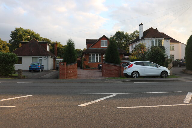
Hampton on the Hill is a small village located in Warwickshire, England. Situated approximately two miles west of Warwick town center, it is a picturesque and charming settlement that offers a peaceful countryside atmosphere.
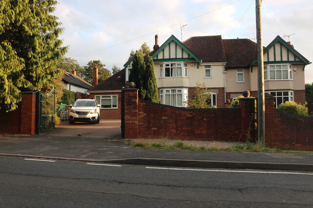
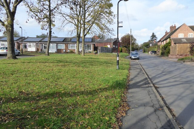
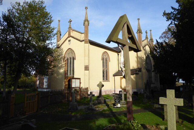
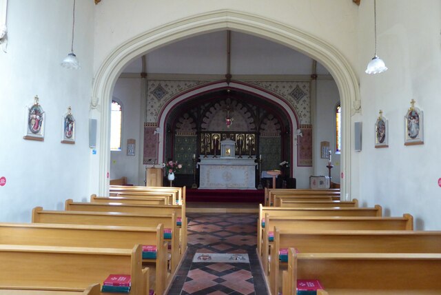
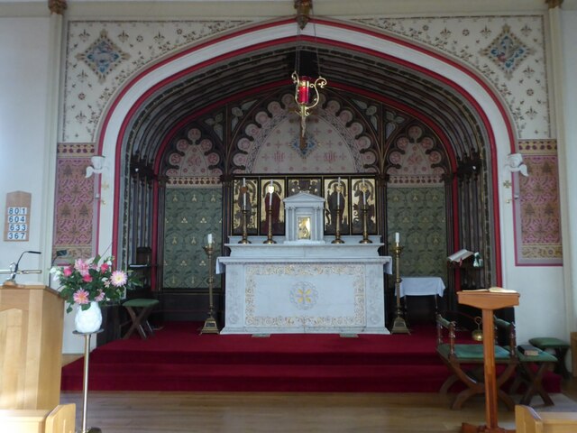
The village is known for its historic charm, with many of its buildings dating back to the 18th and 19th centuries. The architecture showcases a mix of traditional English styles, including thatched roofs and timber-framed cottages. Its well-preserved historic character has made it a popular destination for tourists and visitors interested in exploring the cultural heritage of Warwickshire.
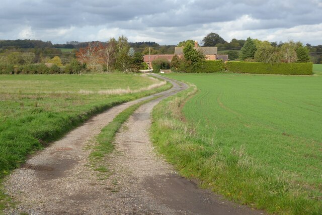
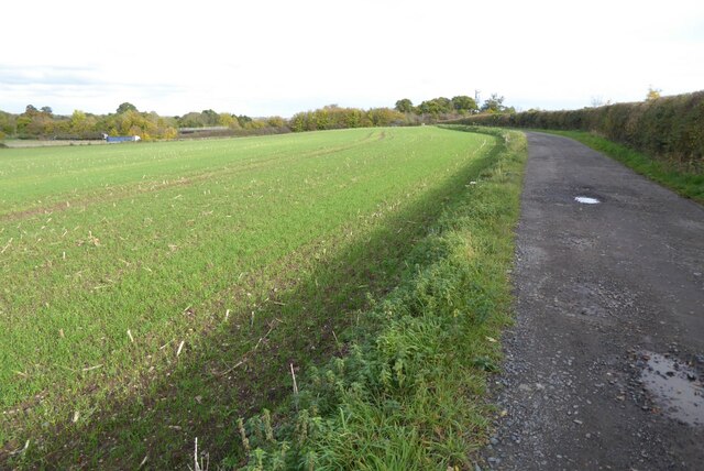
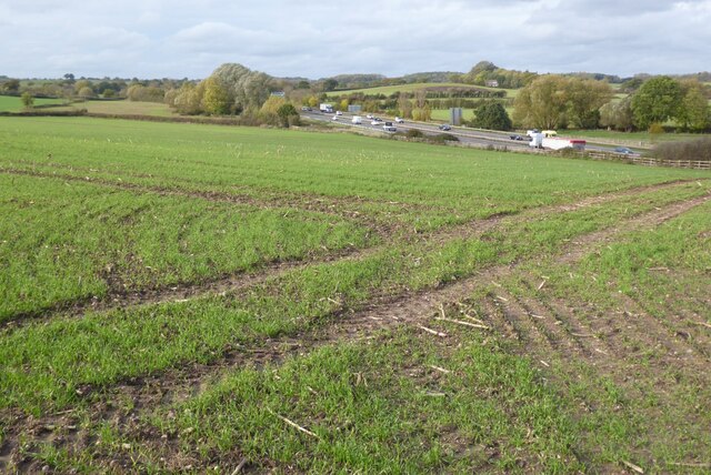
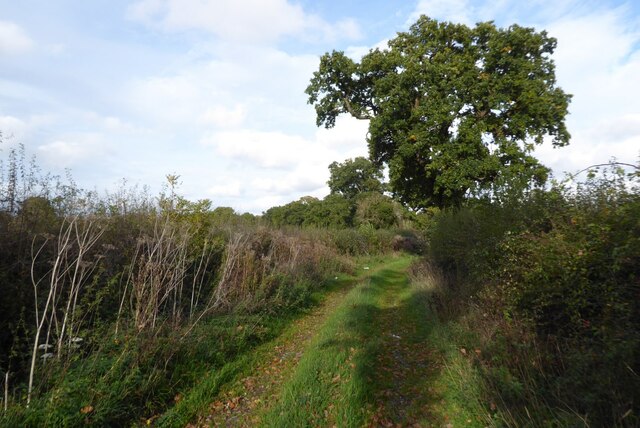
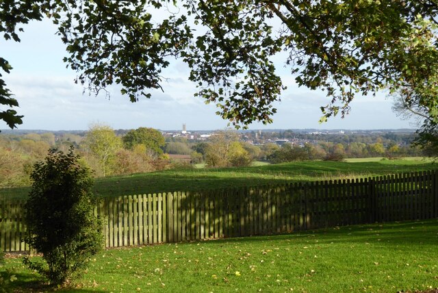
The village is surrounded by beautiful countryside, with rolling hills and green fields providing a scenic backdrop. The nearby Warwickshire countryside offers opportunities for outdoor activities such as walking, cycling, and horse riding. The village is also located close to several nature reserves and parks, providing ample opportunities for wildlife enthusiasts and nature lovers.
Despite its small size, Hampton on the Hill offers a few amenities for its residents and visitors. These include a local pub, a village hall, and a primary school. The village is also conveniently located near larger towns and cities, with Warwick and Leamington Spa just a short drive away, offering a wider range of services and amenities.
Overall, Hampton on the Hill is a charming village with a rich history and a tranquil countryside setting. Its idyllic location, combined with its historic character, makes it an appealing place to live or visit for those seeking a peaceful retreat in Warwickshire.
If you have any feedback on the listing, please let us know in the comments section below.
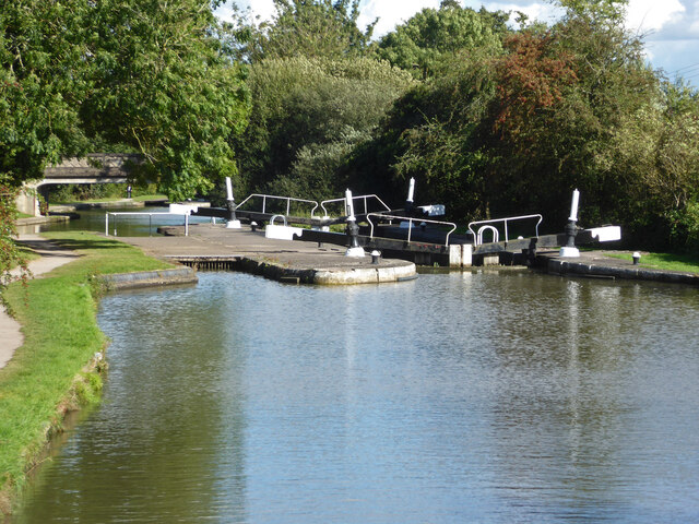
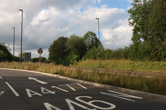
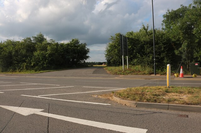
Hampton on the Hill Images
Images are sourced within 2km of 52.27677/-1.628413 or Grid Reference SP2564. Thanks to Geograph Open Source API. All images are credited.
Hampton on the Hill is located at Grid Ref: SP2564 (Lat: 52.27677, Lng: -1.628413)
Administrative County: Warwickshire
District: Warwick
Police Authority: Warwickshire
What 3 Words
///rewrites.hatch.shakes. Near Hatton, Warwickshire
Nearby Locations
Related Wikis

Budbrooke
Budbrooke is a village and civil parish in the Warwick district of Warwickshire, England. It is 3 miles west of Warwick and according to the 2001 census...

Budbrooke Barracks
Budbrooke Barracks was a military installation near Budbrooke in Warwickshire, England. == History == The barracks were built on agricultural land in 1877...
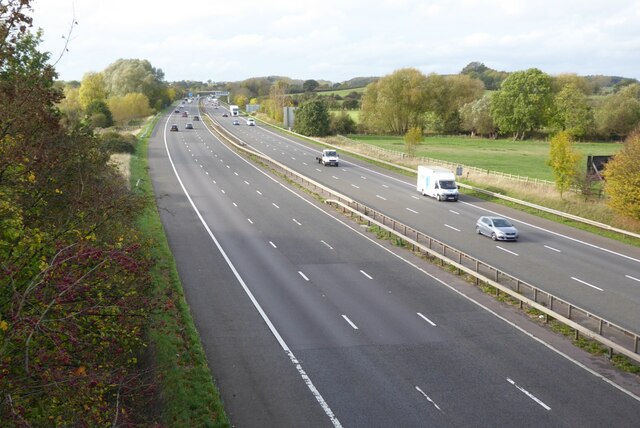
M40 minibus crash
On 18 November 1993, just after midnight, a minibus was involved in a fatal collision with a maintenance vehicle on the M40 motorway near Warwick, England...

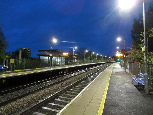
Warwick Parkway railway station
Warwick Parkway is a railway station with park and ride facilities on the western outskirts of Warwick in Warwickshire, England. It also serves the village...
Racing Club Warwick F.C.
Racing Club Warwick Football Club is a football club based in Warwick, Warwickshire, and competes in the United Counties League Premier Division South...
Warwick Racecourse
Warwick Racecourse is a horse racing course in Warwick, England. It is a National Hunt racing course and has a programme of 25 meetings throughout the...
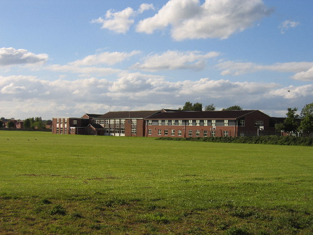
Aylesford School
Aylesford School and Sixth Form College is a coeducational all-through school and sixth form located in Warwick, England. It was constructed on part of...
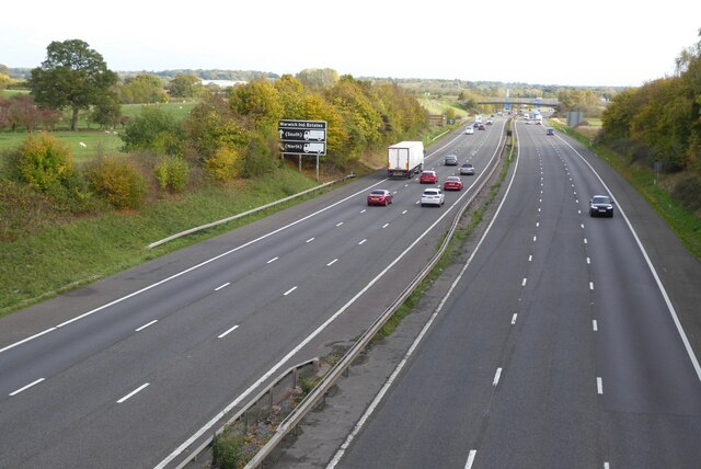
Longbridge Interchange
Longbridge Interchange (also known as Longbridge Island) is a major road and motorway junction between Warwick and Sherbourne, Warwickshire, connecting...
Nearby Amenities
Located within 500m of 52.27677,-1.628413Have you been to Hampton on the Hill?
Leave your review of Hampton on the Hill below (or comments, questions and feedback).