Buckworth
Settlement in Huntingdonshire Huntingdonshire
England
Buckworth
Buckworth is a small village located in the district of Huntingdonshire, in the county of Cambridgeshire, England. With a population of around 200 residents, it is a quaint rural community nestled amidst picturesque countryside.
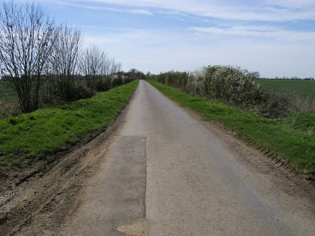
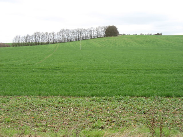
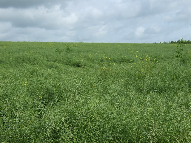
The village is situated approximately 7 miles northwest of Huntingdon, the district's main town, and is surrounded by rolling fields and farmland. Buckworth's location offers its residents a peaceful and tranquil environment, away from the hustle and bustle of urban life.
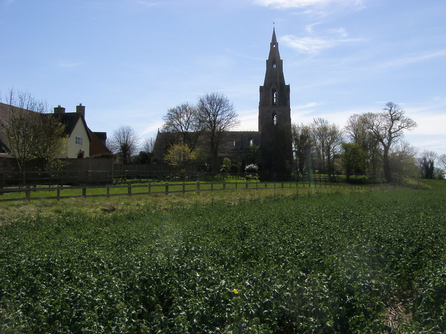
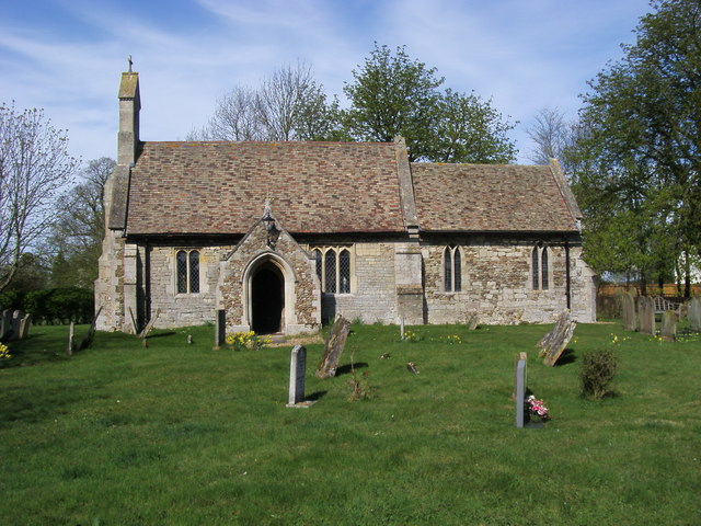
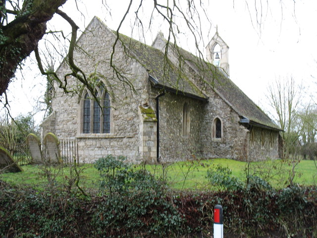
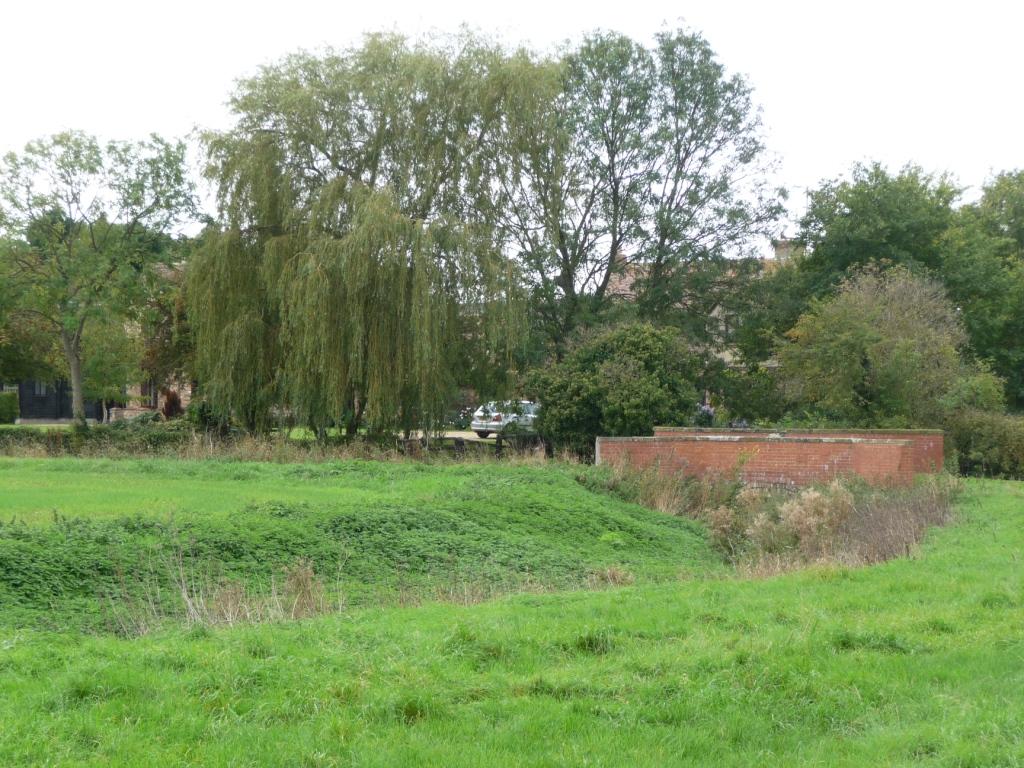
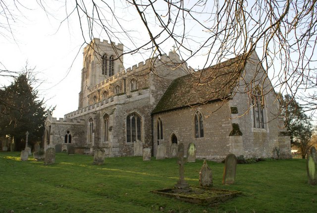
The village consists of a scattering of traditional stone cottages, some of which date back several centuries, giving Buckworth a charming and timeless character. A prominent feature of the village is the beautiful St Andrew's Church, which stands as a testament to the area's rich history.
Despite its small size, Buckworth maintains a strong sense of community spirit. Residents often gather for social events and activities, fostering a close-knit atmosphere. The village also has a village hall, serving as a hub for various community gatherings and local events.
While Buckworth does not have its own shops or amenities, it benefits from its proximity to nearby towns and villages, where residents can access essential services and facilities. Additionally, the village is well-connected to the rest of the region by a network of roads, making it easily accessible for commuters and visitors alike.
Buckworth offers a tranquil and idyllic lifestyle within a beautiful rural setting, making it an attractive place for those seeking a peaceful retreat in the heart of the English countryside.
If you have any feedback on the listing, please let us know in the comments section below.
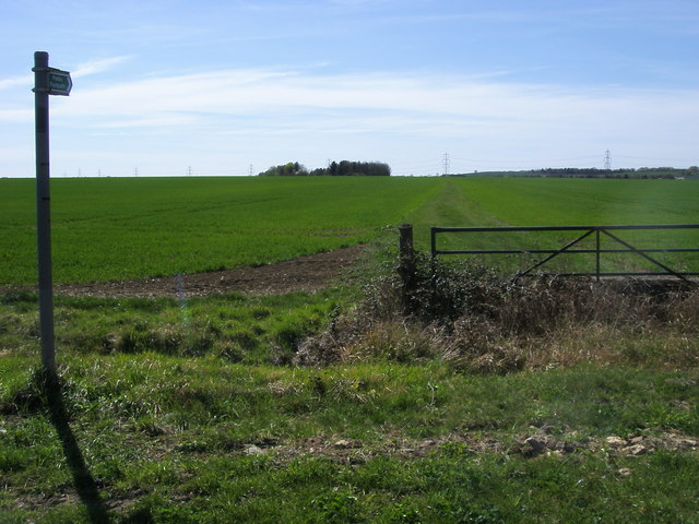
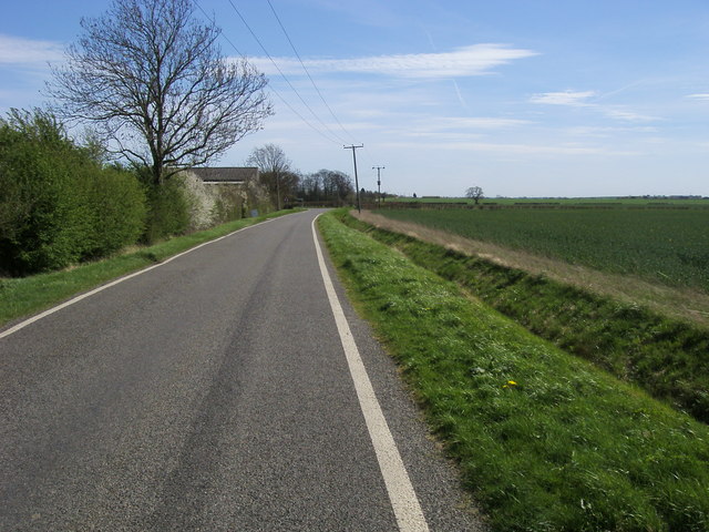
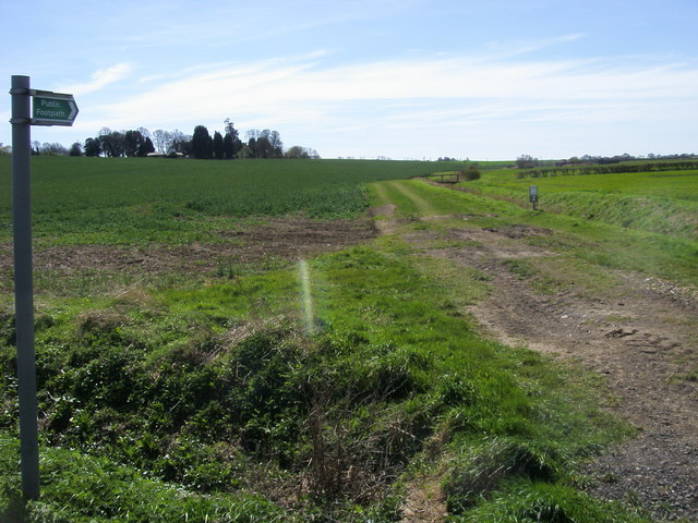
Buckworth Images
Images are sourced within 2km of 52.37722/-0.313795 or Grid Reference TL1476. Thanks to Geograph Open Source API. All images are credited.


Buckworth is located at Grid Ref: TL1476 (Lat: 52.37722, Lng: -0.313795)
Administrative County: Cambridgeshire
District: Huntingdonshire
Police Authority: Cambridgeshire
What 3 Words
///scowls.incensed.hometown. Near Alconbury, Cambridgeshire
Nearby Locations
Related Wikis

Buckworth
Buckworth is a village and civil parish in Cambridgeshire, England. Buckworth lies approximately 7 miles (11 km) northwest of Huntingdon and covers an...
Huntingdon Rural District
Huntingdon was a rural district in Huntingdonshire from 1894 to 1974, lying to the north and west of urban Huntingdon. It was formed in 1894 under the...

Barham and Woolley
Barham and Woolley is a civil parish in the Huntingdonshire district of Cambridgeshire, England. The parish includes the villages of Barham and Woolley...
Barham, Huntingdonshire
Barham is a village and former civil parish, now in the parish of Barham and Woolley, in Cambridgeshire, England. Barham lies approximately 7 miles (11...
Woolley, Cambridgeshire
Woolley is a hamlet and former civil parish, now in the parish of Barham and Woolley, in Cambridgeshire, England. Woolley lies approximately 5 miles (8...
Hamerton
Hamerton is a village in and former civil parish, now in the parish of Hamerton and Steeple Gidding, in Cambridgeshire, England. Hamerton lies approximately...

Alconbury Weston
Alconbury Weston – in Huntingdonshire (now part of Cambridgeshire), England – is a village and civil parish, lying just outside of the Fens, having just...

Upton, Huntingdonshire
Upton is a village and former civil parish, now in the parish of Upton and Coppingford, in the Huntingdonshire district, in the county of Cambridgeshire...
Nearby Amenities
Located within 500m of 52.37722,-0.313795Have you been to Buckworth?
Leave your review of Buckworth below (or comments, questions and feedback).