West Ashby

Civil Parish in Lincolnshire East Lindsey

England

West Ashby

West Ashby Arms Formerly The Green Dragon <a href="https://www.geograph.org.uk/photo/964258">TF2672 : The Green Dragon</a>
West Ashby Arms Credit: David Lally

West Ashby is a civil parish located in the East Lindsey district of Lincolnshire, England. Situated about 3 miles east of the market town of Horncastle, it is a small, rural community surrounded by picturesque countryside.

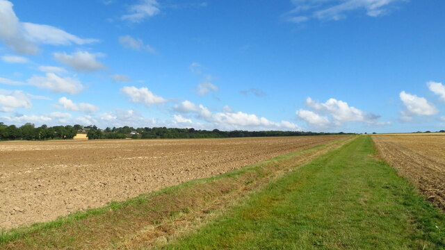
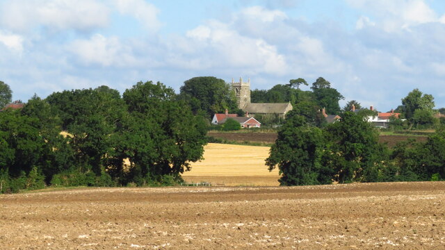
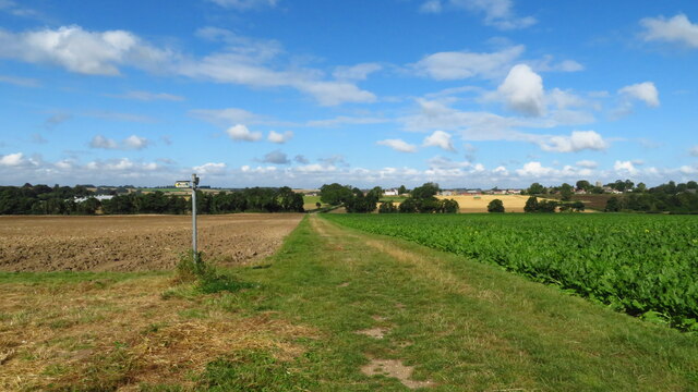
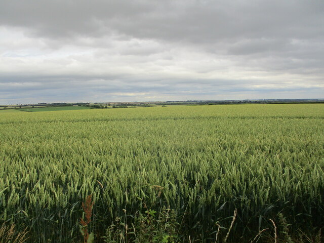
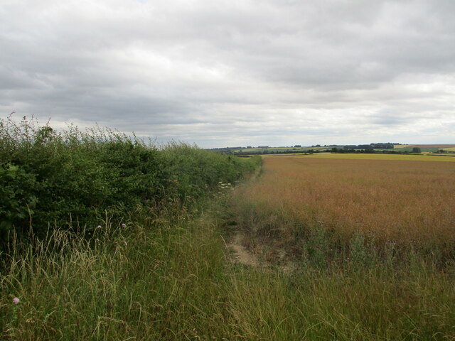
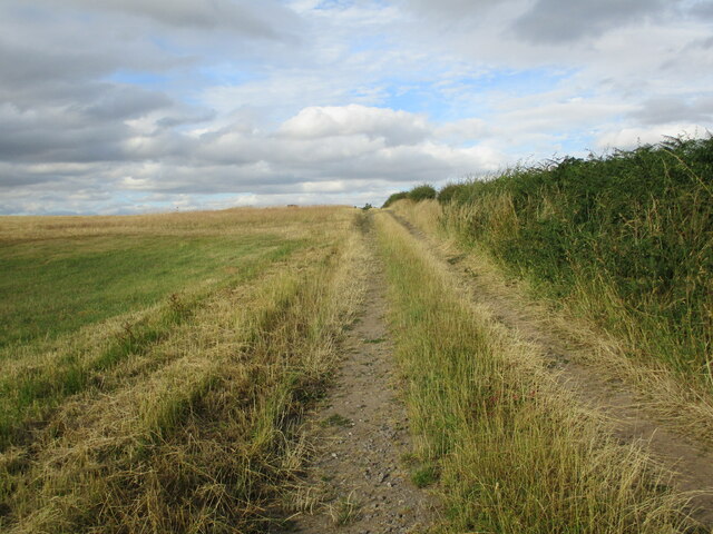
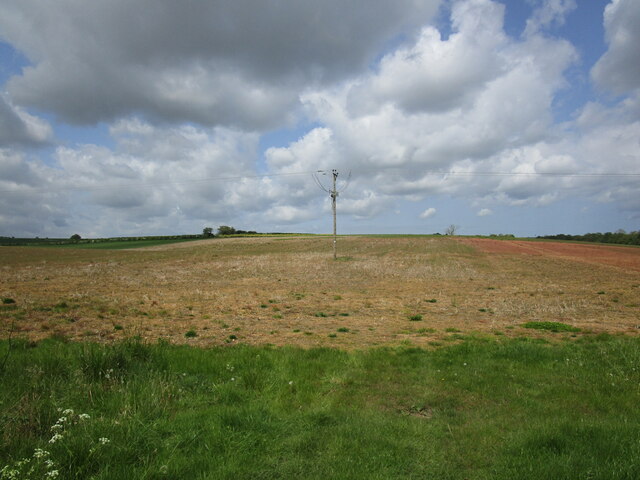
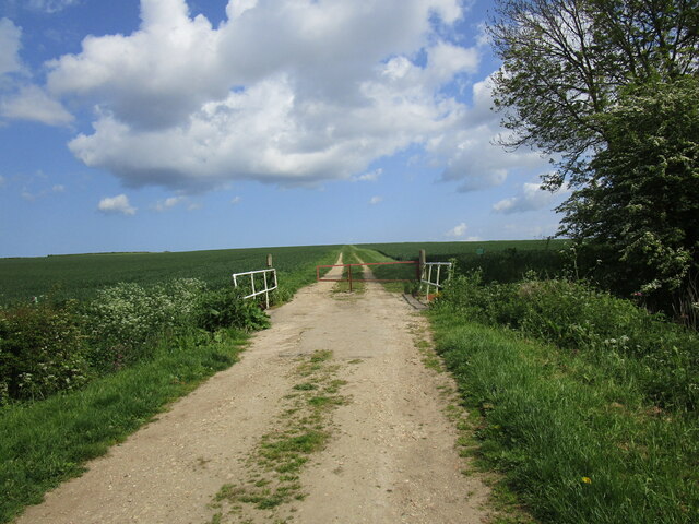
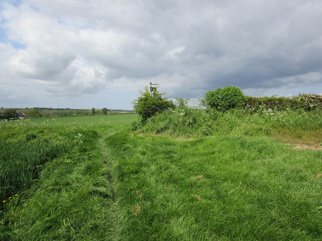
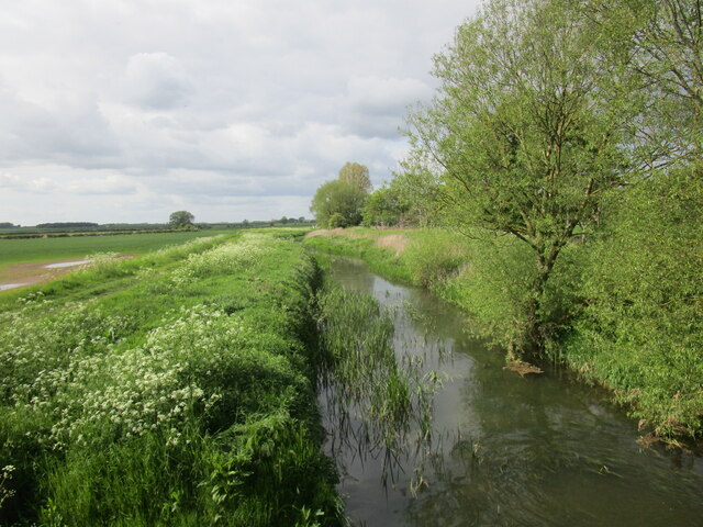
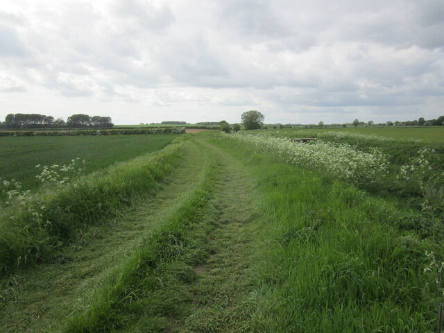
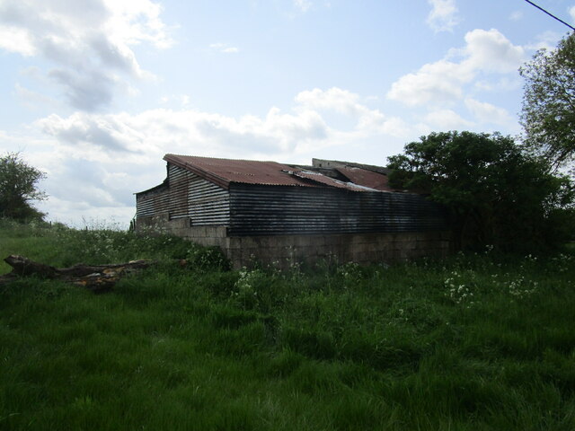
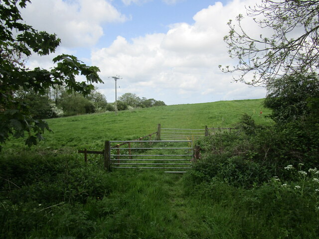
The parish covers an area of approximately 6 square kilometers and is home to a population of around 250 residents. The landscape is primarily agricultural, with rolling hills and fields dominating the scenery. The River Bain flows through the parish, providing a peaceful and scenic waterway.

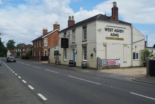
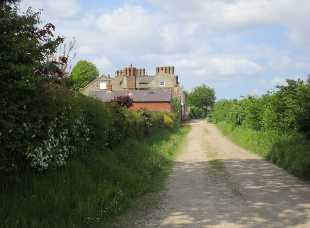
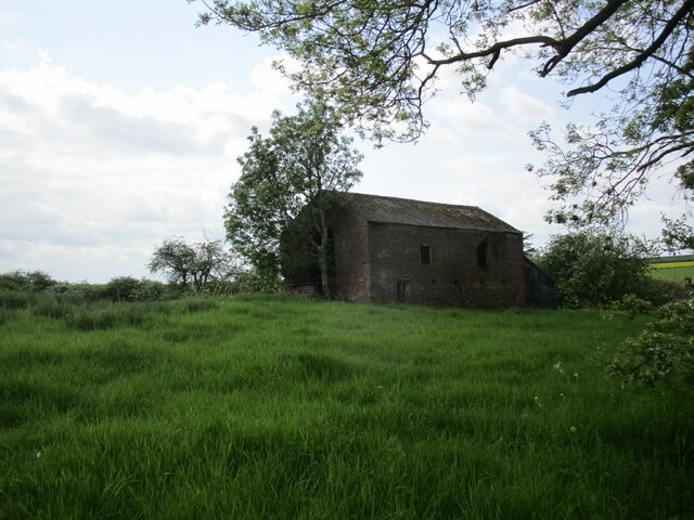
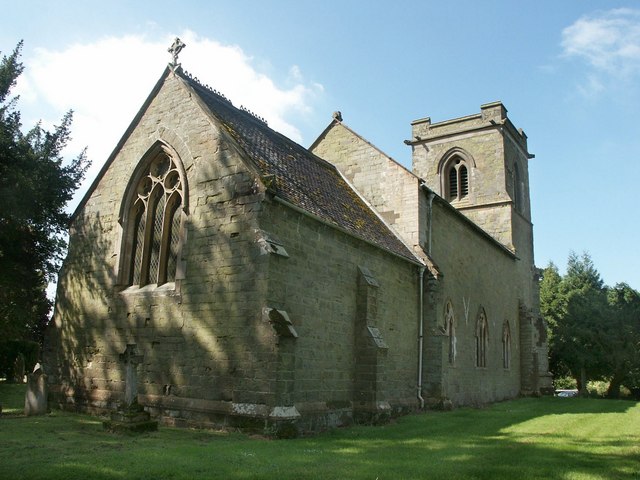
The village itself is characterized by its charming traditional cottages and historic buildings, some dating back to the 17th century. St. Helen's Church, a Grade II listed building, is the focal point of the village and has been a place of worship for centuries.

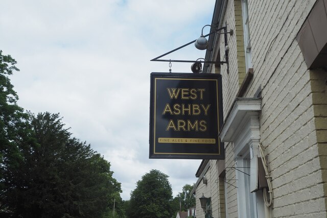
Despite its small size, West Ashby has a strong sense of community and a range of amenities. These include a village hall, a primary school, and a public house. The local school, West Ashby Church of England Primary School, serves the educational needs of the parish and surrounding areas.

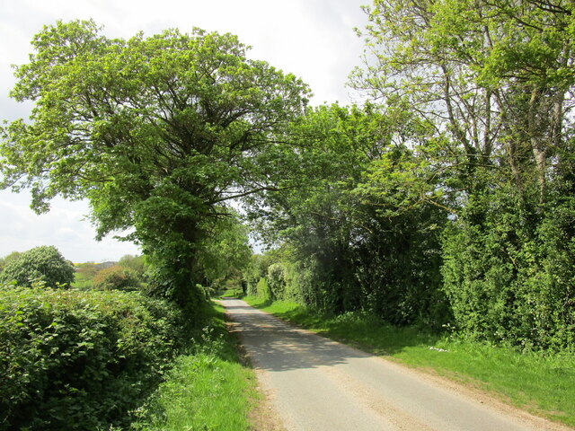
The parish is well-connected to the surrounding areas by road, with the A153 running nearby and providing easy access to Horncastle and other neighboring towns. Public transportation options are limited, but residents have access to regular bus services that connect to larger towns and cities.

Overall, West Ashby offers a peaceful and idyllic rural lifestyle, with its beautiful countryside, historic buildings, and close-knit community contributing to its charm.

If you have any feedback on the listing, please let us know in the comments section below.

West Ashby Images

Images are sourced within 2km of 53.239255/-0.106565 or Grid Reference TF2673. Thanks to Geograph Open Source API. All images are credited.

West Ashby Arms Formerly The Green Dragon <a href="https://www.geograph.org.uk/photo/964258">TF2672 : The Green Dragon</a>
West Ashby Arms
Formerly The Green Dragon TF2672 : The Green Dragon
The sign of the West Ashby Arms See <a href="https://www.geograph.org.uk/photo/6933799">TF2672 : West Ashby Arms</a>
The sign of the West Ashby Arms
Viking Way, north of Low Toynton
West Ashby from The Viking Way
Viking Way at path junction, east of West Ashby
Wheat field near Hemingby
Hedgerow and field of oilseed rape near Hemingby
Farm track to Top Yard, Sheep Cote Hill
Electricity pole in a bare field near West Ashby
Lane to Far Thorpe near West Ashby
Lane and The Grove, West Ashby The Grove is now a residential care home. It dates from the late seventeenth century but with extensive later additions <span class="nowrap"><a title="https://historicengland.org.uk/listing/the-list/list-entry/1252246?section=official-list-entry" rel="nofollow ugc noopener" href="https://historicengland.org.uk/listing/the-list/list-entry/1252246?section=official-list-entry">Link</a><img style="margin-left:2px;" alt="External link" title="External link - shift click to open in new window" src="https://s1.geograph.org.uk/img/external.png" width="10" height="10"/></span>
Lane and The Grove, West Ashby
The Grove is now a residential care home. It dates from the late seventeenth century but with extensive later additions LinkExternal link
Bridge over the River Waring near West Ashby
The Viking Way near West Ashby
The River Bain above Shearman's Wath Bridge
Alongside the River Bain near Shearman's Wath Bridge
Derelict farm building at Brook Farm
Corrugated iron at Brook farm
Gates and grassland near Brook Farm
Show me another place!

West Ashby is located at Grid Ref: TF2673 (Lat: 53.239255, Lng: -0.106565)

Administrative County: Lincolnshire

District: East Lindsey

Police Authority: Lincolnshire

What 3 Words

///menu.upwards.wrenching. Near Horncastle, Lincolnshire

Related Wikis

West Ashby

West Ashby is a village and civil parish in the East Lindsey district of Lincolnshire, England. It is situated on the Horncastle to Louth A153 road, and...

Low Toynton

Low Toynton is a hamlet and civil parish in the East Lindsey district of Lincolnshire, England. The population of the civil parish (including Fulletby...

Hemingby

Hemingby is a dispersed village and civil parish in the East Lindsey district of Lincolnshire, England. It is situated approximately 3 miles (5 km) north...

Fulletby

Fulletby is a village and a civil parish in the East Lindsey district of Lincolnshire, England. It is in the Lincolnshire Wolds, and 3 miles (5 km) north...

Queen Elizabeth's Grammar School, Horncastle

Queen Elizabeth's Grammar School, Horncastle, is a co-educational grammar school with academy status in Horncastle, Lincolnshire, England. In 2009, there...

Edlington, Lincolnshire

Edlington is a village in the parish of Edlington with Wispington, in East Lindsey Lincolnshire, England. It is situated 2 miles (3.2 km) north-west of...

Horncastle

Horncastle is a market town and civil parish in the East Lindsey district in Lincolnshire, England. It is 17 miles (27 km) east of Lincoln. Its population...

A158 road

The A158 road is a major route that heads from Lincoln in the west to Skegness on the east coast. The road is located entirely in the county of Lincolnshire...

Nearby Amenities

Located within 500m of 53.239255,-0.106565
Note: End of Public Highway
Lat/Long: 53.2350831/-0.1065052
Power: pole
Lat/Long: 53.2350614/-0.1065387
Note: End of Public Highway
Lat/Long: 53.2394616/-0.1082003
Power: pole
Lat/Long: 53.2373394/-0.1053746
Power: pole
Lat/Long: 53.2358368/-0.1061525
Power: pole
Lat/Long: 53.2366026/-0.1057622
Power: pole
Lat/Long: 53.2382111/-0.1049481
Midthorpe
Old Name: Middle Thorpe
Place: hamlet
Source: Bing
Lat/Long: 53.2391757/-0.1081893
Power: pole
Lat/Long: 53.2379879/-0.1011287
Power: pole
Lat/Long: 53.2393773/-0.1056053
Power: pole
Lat/Long: 53.2375866/-0.0998667
Power: pole
Lat/Long: 53.2397192/-0.1066782
Power: pole
Lat/Long: 53.2406013/-0.1037291
Power: pole
Lat/Long: 53.2399849/-0.1040657
Power: pole
Lat/Long: 53.2386389/-0.1032101
Power: pole
Lat/Long: 53.2390498/-0.1045284
Power: pole
Lat/Long: 53.2382384/-0.1019374
Hall Farm
Place: farm
Source: Bing
Lat/Long: 53.2405244/-0.1088629
Valley Farm
Place: farm
Source: Bing
Lat/Long: 53.2377631/-0.1089111
Midthorpe Farm
Place: farm
Source: Bing
Lat/Long: 53.2392015/-0.1061003
Archaeological Site: fortification
Historic: archaeological_site
Source: Bing
Lat/Long: 53.2385849/-0.1080769
Archaeological Site: fortification
Historic: archaeological_site
Source: Bing
Lat/Long: 53.2404421/-0.1089768
Power: pole
Lat/Long: 53.2414447/-0.1033229
Power: pole
Lat/Long: 53.2422248/-0.1029286
Power: pole
Lat/Long: 53.2430177/-0.1025397
The data included in this document is from www.openstreetmap.org. The data is made available under ODbL.

Have you been to West Ashby?

Leave your review of West Ashby below (or comments, questions and feedback).