West Ashton

Civil Parish in Wiltshire

England

West Ashton

Stile onto footpath This stile provides access from the road onto the footpath.  Judging by the relatively vigorous crop growth on the footpath this is not frequently used.
Stile onto footpath Credit: Doug Lee

West Ashton is a civil parish located in the county of Wiltshire, England. It is situated approximately 3 miles northwest of the town of Trowbridge and covers an area of around 3 square miles. The parish is located on the western bank of the River Avon, with the village itself nestled in a picturesque rural landscape.

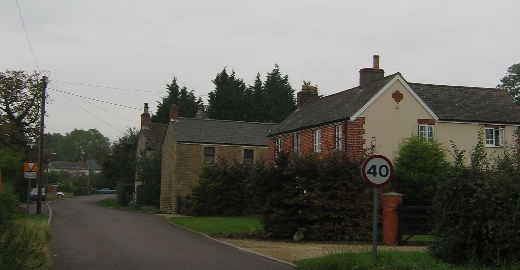
The village of West Ashton is home to a small population of around 500 residents. It is known for its charming and peaceful atmosphere, making it an ideal place for those seeking a tranquil country lifestyle. The parish consists mainly of residential properties, with a mix of traditional cottages and modern houses.

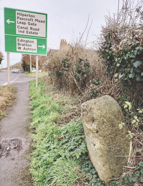
The village is well-connected to surrounding areas by road, with the A350 passing through the parish, providing easy access to nearby towns and cities. The nearby town of Trowbridge offers a range of amenities and services, including shops, schools, and healthcare facilities.

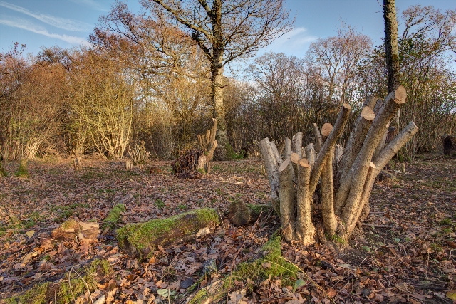
Despite its small size, West Ashton boasts a rich history. The village is home to several historic buildings, including the Grade II listed West Ashton House and the 14th-century parish church of St. John the Baptist. The surrounding countryside offers ample opportunities for outdoor activities, with beautiful walking routes and scenic views.

Overall, West Ashton is a charming and idyllic rural parish, offering a peaceful retreat for its residents and visitors alike. Its rich history, picturesque landscapes, and proximity to amenities make it an attractive place to live or visit in Wiltshire.

If you have any feedback on the listing, please let us know in the comments section below.
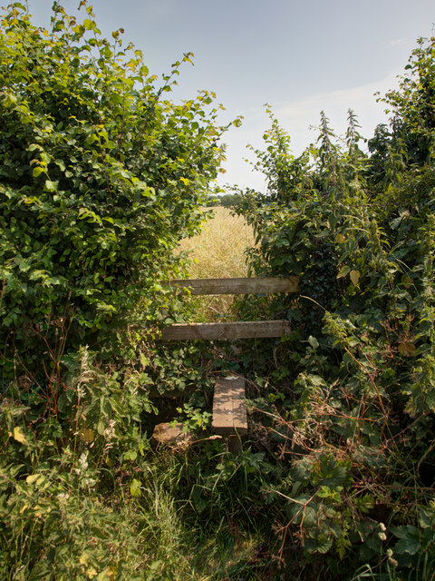
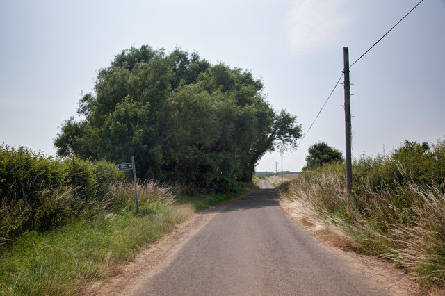
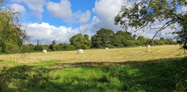
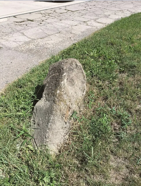
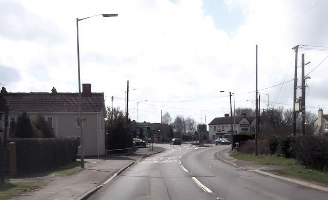
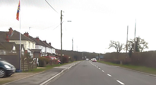
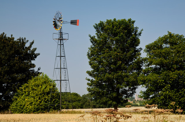
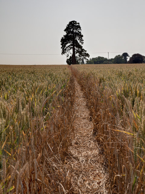
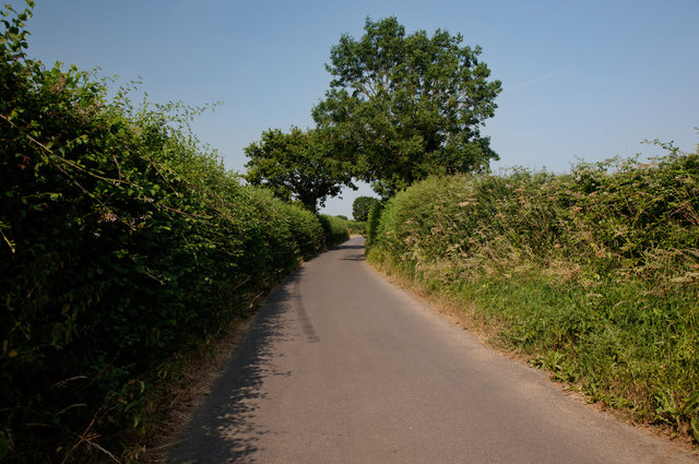
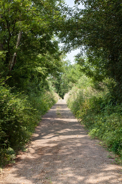
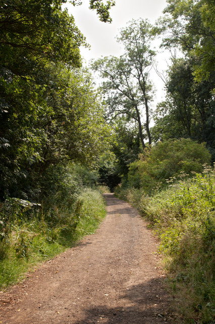
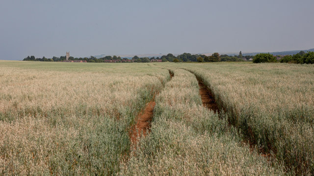
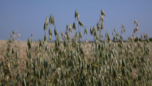
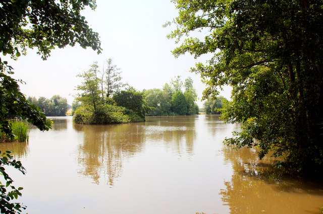
West Ashton Images

Images are sourced within 2km of 51.299876/-2.165495 or Grid Reference ST8855. Thanks to Geograph Open Source API. All images are credited.

Stile onto footpath This stile provides access from the road onto the footpath.  Judging by the relatively vigorous crop growth on the footpath this is not frequently used.
Stile onto footpath
This stile provides access from the road onto the footpath. Judging by the relatively vigorous crop growth on the footpath this is not frequently used.
Sandpits Lane The footpath sign points towards the stile and footpath shown in <a href="https://www.geograph.org.uk/photo/3565438">ST9056 : Stile onto footpath</a>
Sandpits Lane
The footpath sign points towards the stile and footpath shown in ST9056 : Stile onto footpath
Clanger Wood, Wiltshire Farmland adjacent to the western perimeter of Clanger Wood.
Clanger Wood, Wiltshire
Farmland adjacent to the western perimeter of Clanger Wood.
Old Milestone by the A350, Westbury Road, Yarnbrook Metal plate attached to stone post by the A350, in parish of North Bradley (West Wiltshire District), Westbury Road, Yarnbrook, in front of service road near No. 46 on verge, on East side of road. Westbury plate, erected by the Westbury turnpike trust in the 19th century.

Inscription reads:-
99
LONDON
{line}
TROWBRIDGE 3
{arrow}
WESTBURY 2
{arrow}

Milestone Society National ID: WI_WYMK02
Old Milestone by the A350, Westbury Road, Yarnbrook
Metal plate attached to stone post by the A350, in parish of North Bradley (West Wiltshire District), Westbury Road, Yarnbrook, in front of service road near No. 46 on verge, on East side of road. Westbury plate, erected by the Westbury turnpike trust in the 19th century. Inscription reads:- 99 LONDON {line} TROWBRIDGE 3 {arrow} WESTBURY 2 {arrow} Milestone Society National ID: WI_WYMK02
Old Milestone by the A350, Yarnbrook Road, West Ashton Stone post (plate lost) by the A350, in parish of WEST ASHTON (WEST WILTSHIRE District), Yarnbrook Road; West Ashton; 200m South of crossroads/traffic lights, on the verge, on East side of road. Westbury plate, erected by the Westbury turnpike trust in the 19th century. 

Inscription once read:-
(Westbury)
(3)
(Melksham)
(5½)
Carved benchmark right middle. 

Milestone Society National ID: WI_WYMK03.
Old Milestone by the A350, Yarnbrook Road, West Ashton
Stone post (plate lost) by the A350, in parish of WEST ASHTON (WEST WILTSHIRE District), Yarnbrook Road; West Ashton; 200m South of crossroads/traffic lights, on the verge, on East side of road. Westbury plate, erected by the Westbury turnpike trust in the 19th century. Inscription once read:- (Westbury) (3) (Melksham) (5½) Carved benchmark right middle. Milestone Society National ID: WI_WYMK03.
Recently Coppiced Trees in Green Lane Wood Green Lane Wood is owned and managed by the Wiltshire Wildlife Trust.  Coppicing is carried out each winter by volunteers.
Recently Coppiced Trees in Green Lane Wood
Green Lane Wood is owned and managed by the Wiltshire Wildlife Trust. Coppicing is carried out each winter by volunteers.
Electricity Pylon in Green Lane Wood A footpath runs underneath the line of the pylons which pass through the centre of the wood.
Electricity Pylon in Green Lane Wood
A footpath runs underneath the line of the pylons which pass through the centre of the wood.
Clearing for Pylons Through Green Lane Wood There is a clearing through the centre of Green Lane Wood for a line of electricity pylons.  A footpath runs underneath the pylons through the centre of this clearing.
Clearing for Pylons Through Green Lane Wood
There is a clearing through the centre of Green Lane Wood for a line of electricity pylons. A footpath runs underneath the pylons through the centre of this clearing.
A350 approaching Yarnbrook
Westbury Road Yarnbrook
Wind Pump at East Town Farm Seven years on from <a href="https://www.geograph.org.uk/photo/716683">ST8955 : 2008 : Wind Pump at East Town Farm</a> and the wind pump is still maintained.

In the distance through the gap in the trees you can see the church of St. Mary in Steeple Ashton
Wind Pump at East Town Farm
Seven years on from ST8955 : 2008 : Wind Pump at East Town Farm and the wind pump is still maintained. In the distance through the gap in the trees you can see the church of St. Mary in Steeple Ashton
Footpath through the wheat
West Ditch Lane
West Ditch Lane
North along Mudmead Lane Mudmead Lane is a restricted byway
North along Mudmead Lane
Mudmead Lane is a restricted byway
South along Mudmead Lane Mudmead Lane is a restricted byway
South along Mudmead Lane
Mudmead Lane is a restricted byway
View towards Steeple Ashton The field is planted with a crop of oats
View towards Steeple Ashton
The field is planted with a crop of oats
Field of oats This is a view of the oats shown in <a href="https://www.geograph.org.uk/photo/3565478">ST8957 : View towards Steeple Ashton</a>
Field of oats
This is a view of the oats shown in ST8957 : View towards Steeple Ashton
Rood Ashton Lake The map refers to this body of water as Stourton Water but the signage beside the lake and the fishing community refer to it as Rood Ashton Lake - named after Rood Ashton estate in which it lies.
Rood Ashton Lake
The map refers to this body of water as Stourton Water but the signage beside the lake and the fishing community refer to it as Rood Ashton Lake - named after Rood Ashton estate in which it lies.
Show me another place!

West Ashton is located at Grid Ref: ST8855 (Lat: 51.299876, Lng: -2.165495)

Unitary Authority: Wiltshire

Police Authority: Wiltshire

What 3 Words

///vies.sensible.scooped. Near North Bradley, Wiltshire

Nearby Locations

West Ashton

Related Wikis

Rood Ashton House

Rood Ashton House was a country house in Wiltshire, England, standing in parkland 0.5 miles (0.80 km) northeast of the village of West Ashton, near Trowbridge...

West Ashton

West Ashton is a village and civil parish in Wiltshire, England. It is about 2 miles (3.2 km) southeast of Trowbridge, near the A350 between Melksham and...

Picket and Clanger Wood

Picket and Clanger Wood (grid reference ST875543) is a 66.4 hectare biological Site of Special Scientific Interest in Wiltshire, England, and lies off...

Yarnbrook

Yarnbrook is a large hamlet in Wiltshire, England, between the towns of Westbury and Trowbridge. Most of the settlement lies in the civil parish of North...

Steeple Ashton

Steeple Ashton is a village and civil parish in Wiltshire, England, 3 miles (4.8 km) east of Trowbridge. In the north of the parish are the hamlets of...

Heywood, Wiltshire

Heywood is a civil parish and small village in the county of Wiltshire in southwestern England. The village is approximately 1.5 miles (2.4 km) north of...

Ashton Common

Ashton Common is a hamlet in Wiltshire, England, to the east of Trowbridge. The hamlet lies on Common Hill, a little south of the A350 road, within the...

Whorwellsdown Hundred

Whorwellsdown was a hundred of the English county of Wiltshire, lying in the west of the county to the south of the towns of Bradford on Avon and Melksham...

Nearby Amenities

Located within 500m of 51.299876,-2.165495
Barrier: stile
Fixme: decaying
Foot: yes
Material: wood
Stile: stepover
Lat/Long: 51.2984008/-2.1605624
The data included in this document is from www.openstreetmap.org. The data is made available under ODbL.

Have you been to West Ashton?

Leave your review of West Ashton below (or comments, questions and feedback).